“The real voyage of discovery consists not in seeking new landscapes, but in having new eyes” – Marcel Proust.
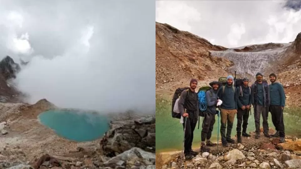
Staying true to the quote, six young trekkers - Abhishek, Akash, Vinay, Lalit, Arvind and Deepak, made history when they discovered this lake, which is yet to be named. A high point in their lives which they are savouring, discovering this lake is a jewel in the crown of these young trekkers!
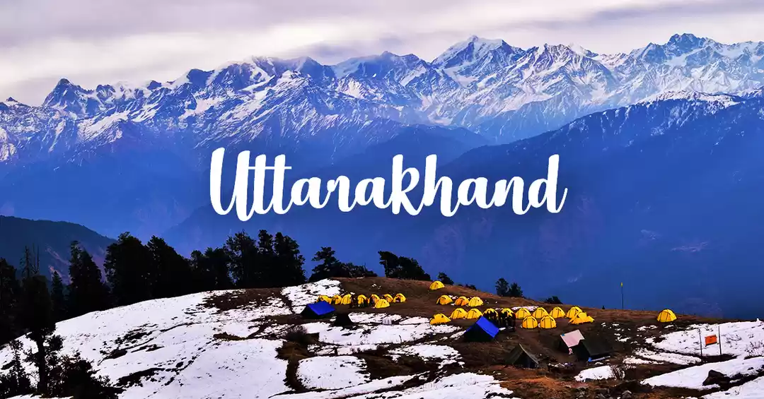
This new-found lake will add to the existing lakes in Rudraprayag district of - Vasuki Tal, Basuri Tal, Deoria Tal, Badhani Tal, Sajal Sarowar, Nandi Kund, among others, of which some were explored by other trekkers.
Interesting Info (which is not mentioned anywhere in the news):
During my conversation with Abhishek, I got to know about the exact location of the lake!
To check the location with Latitude and Longitude convert DMS (Degree Minute Second) to Decimal Degrees.
This lake is situated at:
Latitude: 30°39'18.0"N -- 30.65500000
Longitude: 79°17'52.0°E -- 79.29777778


Love for high-altitude trekking brought these six youngsters, who are in their mid-20s together, who hail from Rudraprayag, Tehri and Pauri Garhwal districts of Uttarakhand. Abhishek Panwar, who was brought to tears by the sheer brilliance of the lake and its surroundings, mentioned that it all started last year in July, during the Covid outbreak, when all were confined to their homes and started exploring interesting pieces of information.
It was during one of these searches their teammate, Vinay Negi came across a random image of a lake over Nandikund on Google Earth. When this information was shared with others in the group, they started looking for old maps for additional information.
The research that took 8-9 months for solid groundwork included speaking to old-time trekkers who were acquainted with the upper reaches of Rudraprayag but were unaware of the presence of any such lake. To confirm the presence of the lake, the enthusiastic group studied old satellite maps of 1986 and 1992 where they found traces of lake. Only after adequate research, they decided to embark on this discovery, while Abhishek himself, being a guide, collected basic information on the route.
First they scaled a steep 11 kms from his village Gaundar till Madhyamaheswar Dham on August 27. Considering Madhyamaheswar as a base camp, it took them precisely six days to reach the lakeside.
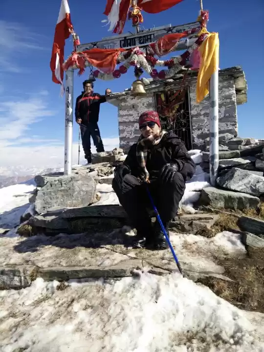
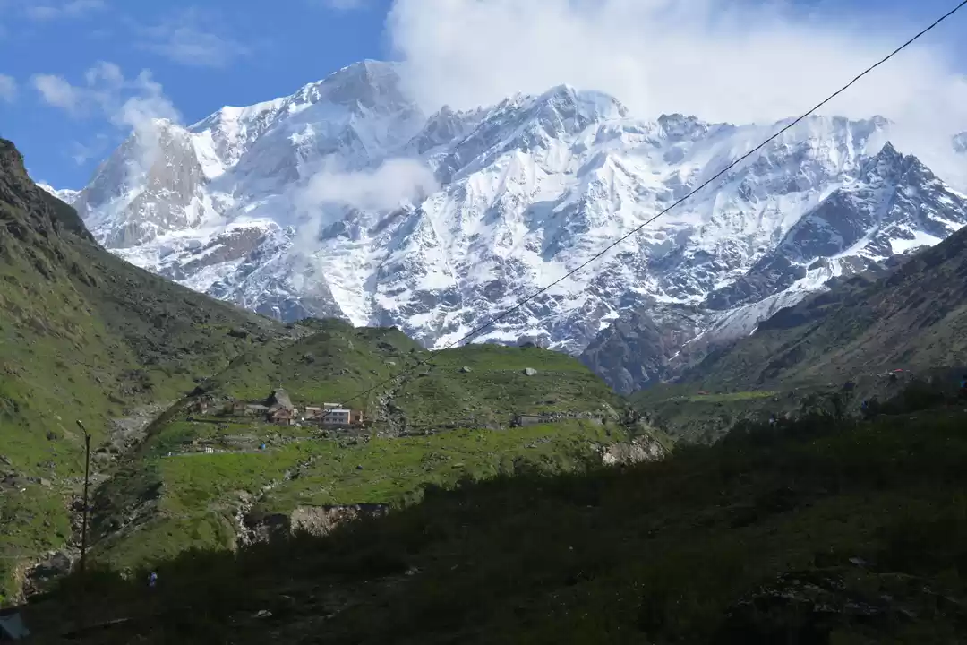
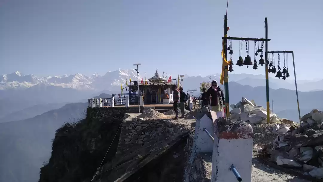
Madhyamaheswar Dham which is one of the revered Shiva shrines in Uttarakhand is also one of the “Panch Kedars" besides Kedarnath, Rudranath, Tungnath, and Kalpeshwar. Abhishek highlighted that reaching the lakeside was not a cakewalk. They trekked despite the bone-chilling breeze and inhospitable climate conditions, when finally, the members discovered the lake on the morning of September 1.
Before heading back, they spent about 25 minutes at the lakeside — measuring the lake, shooting videos, and capturing pictures.
This unexplored lake with turquoise, crystal-clear water, is at an altitude of approximately 15,750 feet and measures 160m in length and 155 m in width and according to the “digital map” made by Vinay Negi is about 60km from Madhyamaheswar to the lake.
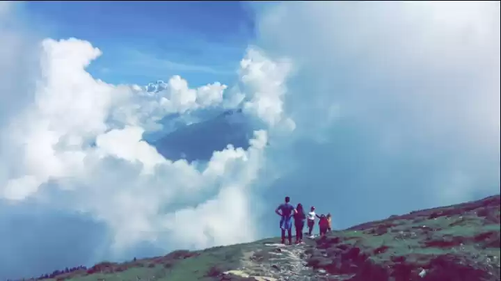
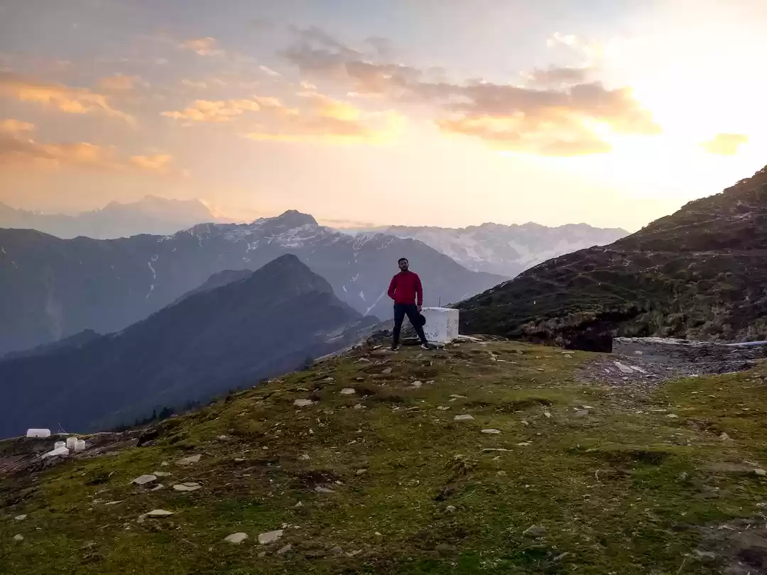
“The trek to the lake is a lifetime experience. Beautiful green meadows and white glaciers are a treat to the eyes. We hope more trekking groups will explore (lake and trek) in the coming months," said Abhishek.
The tourism department in the Rudraprayag district is currently collecting information about the lake. It remains to be seen what they name this new-found lake. I am waiting in anticipation.
Aren’t you?
#You can check the Insta Feed of the six young trekkers for more updates
@vinaynegi.envy @akashpanwar5464 @pahadi_dagdia @tamineta_ @arvind.rawat1011 @deepaksinghpanwar703
Think we missed out on something? Tell us about it in the comments below. Or write about it here on Tripoto and earn Tripoto Credits!


