When my friend in Taiwan heard that I am coming over to Taiwan, she immediately planned my itinerary for my three days stay. Ainee is the mother of a boy my son stayed with during his school exchange trip last year and we became Facebook friends. My Chinese is not so fantastic and it’s worse if I have to message in the language with hanyupinying. So I said ok to all her suggestions.
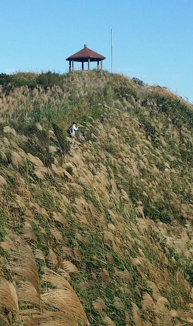
She had planned my first trip to Toayuan Valley to see what looked like ornamental grass, which to me looks like lalangs. In autumn, this grass blooms into wispy feathers of seeds and the whole mountain appears golden, a sight that attracts Taiwanese hikers to the mountains during this time of the year.
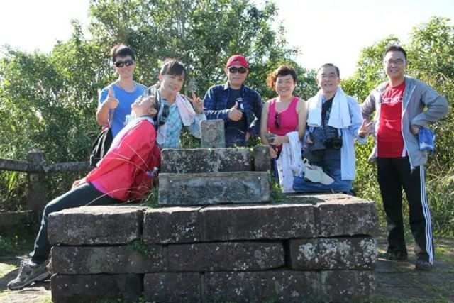
At the highest peak, we met a group taking photos. One look at them and it was obvious they didn’t climb. Indeed, they had driven up to the peak. Although the scenery at the peak, with the view of the Pacific Ocean on one side, and mountain ranges on the other side was awesome, these tourists missed experiencing the lalangs.
Toayuan Valley is located at YiLan, at the north eastern tip of Taiwan island. A new tunnel cuts the travelling time from Taipei city to YiLan to one hour, increasing tourism to this area. Previously, one had to drive around the coast which took 4-5 hours. What I had thought was a light walk turned out unexpectedly to be a treacherous climb not unlike my climb to Mt Kinabalu in June. Among the group of friends Ainee had gathered, two had climbed this hill before and acted as our guides. The rest, six of us were newbies. After a continuous uphill climb, one had to turn back 500 meters to our climb. Mike came prepared with only a pair of hiking boots. His cotton tee shirt and denim long sleeves were soaked with perspiration. We only carried our own bottle of water, but unknown to us, the rest were carrying loads- packets of rice rolls, bananas, guavas, bottled teas. We stopped often to take group photos and to eat so as to lighten the load.
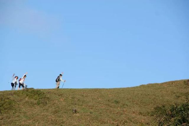
I couldn’t help thinking that when I complete this 5 km route, I am almost at Tana Rata of Mt K. The total route that was planned is 10 km. We started only at 11am and stopped often. It’s good being ignorant at this point, for then we didn’t have to worry about being still stranded in the mountains without lights, until a group we met warned us about it. They had started in the opposite direction at 9 am and expected to complete at our beginning point at 4 pm. So we were way too slow. They advised instead of doing the full 10 km, that we should take a shorter route to go down, saving us 1.5km. My leader agreed. So thinking that we were now saved, he assured us we could take our time. So we posed for hundreds of of photos, had picnic. The green forest gave way to grass land at the ridge. The lalangs were indeed beautiful. As we walked further along the ridge of the mountain, we saw signs warning us of wild cows. I am not very sure how these cows happened to be here but their presence keeps the pastures trimmed and green.
Shi Men reservoir
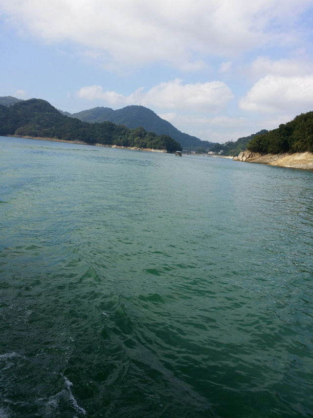
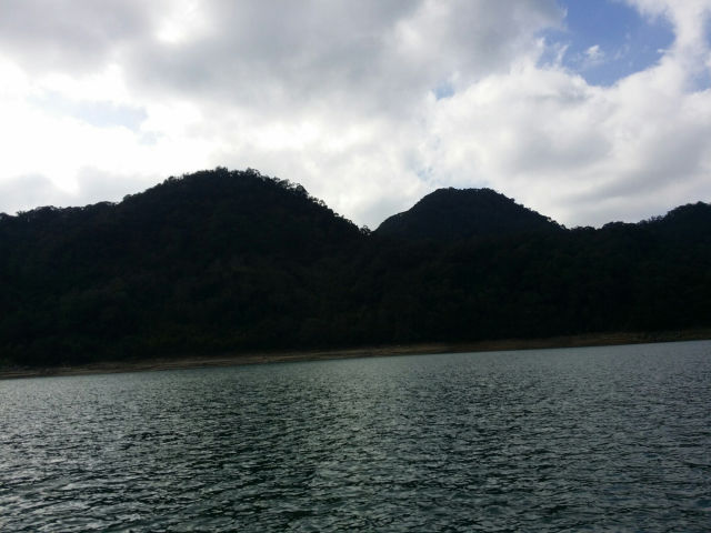
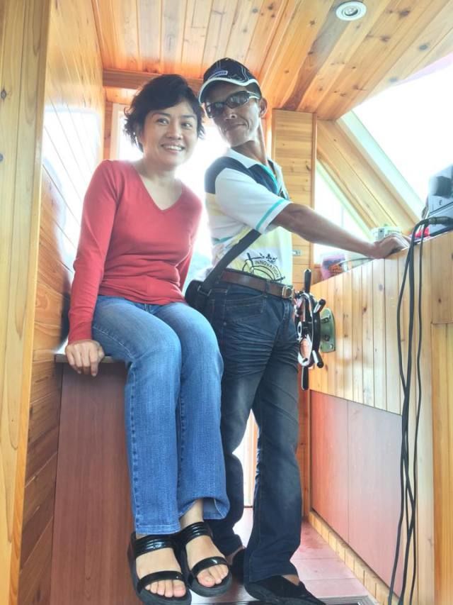
I am typing this real time on a boat cruise at Shi men reservoir石门水库, where Taipei city gets the water supply from. The reservoir is surrounded by mountains. On this cloudy morning, the silhouette of layers shrouded in mist is like one Chinese ink painting. The captain is a small thin man, tanned by years working here. His teeth are rotten by a beetal chewing habit popular by most boatmen here. Cheeky and flirtatious, he charms the women with his jokes as he steers. Like how he describes these mountains as Double Breasts hill 二奶山, pointing out the valley in between as the career line事业线, a derogatory term used to described women who dressed provocatively to get promoted.
Jiang Mu island姜母岛
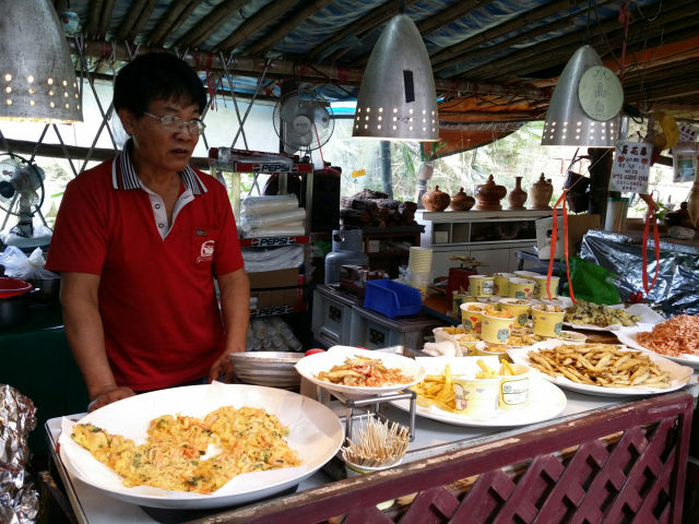
The tour takes us to Jiang Mu island姜母岛, literally translated as Ginger Mother island, where islanders sells fragrant wooden products and snacks to tourists. On this island is also a small popular temple housing the Earth God.
