With Varun completing his engineering degree and my work tenure in Bangalore nearing its end, we started making plans to go for the Rupin Pass Trek after we were done attending an upcoming family event in Shimla. Just when the planning was in its infancy, I learned that Ankur, had planned a trip to Leh along with an attempt to summit the Stok Kangri Peak. Since the dates were somewhat similar, and it seemed like we’ll be able to squeeze in the budget, Varun and I scrapped Rupin and decided to tag along with Ankur instead.
I was super psyched, and for good reason - if things went well, the first week of July’18 would see us atop 20,000 feet!

The three of us rendezvoused in Manali and I, after spending much of the rainy afternoon indoors, took the guys to a riverside spot near Old Manali. The spot, hiding in plain sight, is my personal favourite chilling adda whenever I find myself in Manali. Ankur orchestrating a yoga session here resulted in an anomaly - probably for the first time I walked out of the place with a clearer head!

The next morning Varun and I boarded the 4am bus and according to the Himachal Roadways website, the bus was supposed to take 16 hours to reach Leh. Ankur on the other hand took a tempo traveller that cost thrice as much and took about the same time. It seemed like a fair trade-off, money for a little comfort, but boy were we so wrong! After a 16 bus ride, instead of pulling into some Leh bus-terminus, the driver stopped the bus in the middle of nowhere and announced that he’s calling it a day. We must have looked confused but he couldn't care any less. When the busload of passengers started throwing questions at him he simply responded, “the educated people who run the transport department think that one man can drive this bus all the way to Leh in just 16 hours - I’d like to see him try!” before vanishing for the night.
This pit-stop along the Manali-Leh highway had a few roadside tented Dhabas that doubled up as a night-halt facility (basically, it was like a dorm tent where you pay INR 200 per person for the night). The lovely hosts soon had their hands full with AMS (acute mountain sickness) claiming one passenger after another. Well, it all makes sense when you consider the fact that we had started the journey from 6000 ft (Manali) and were supposed to acclimatize for the night at 11000ft (Leh). This pit-stop in the middle of nowhere was at a whopping 15500ft!
We both could feel the altitude - Varun threw up his food and I barely slept. Maybe that’s why we didn’t mind when the bus conductor woke us up at 5am to resume our journey!

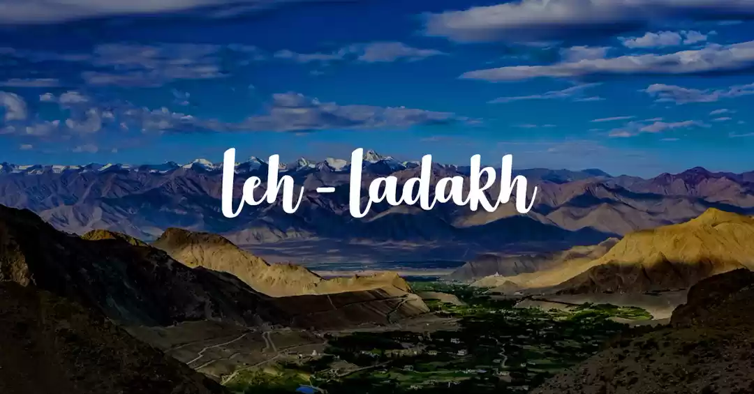
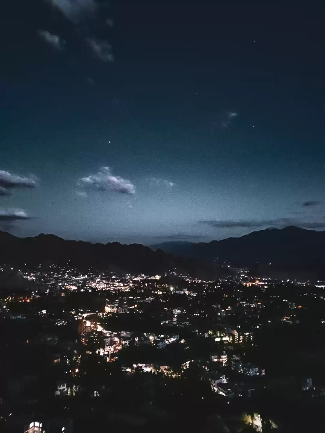
Better late than never, we finally reached Leh. I remember not having a very good first impression since the main bus station was quite filthy, especially for the mountains. But once Morup (Ankur's college mate) came and picked us up, every second of that car ride showed us the real side of this beautiful town.
Thanks to Morup (he runs changpatravels along with an authentic homestay in Leh), the most basic concerns of a tourist - food, lodging, travel - were more like an afterthought.
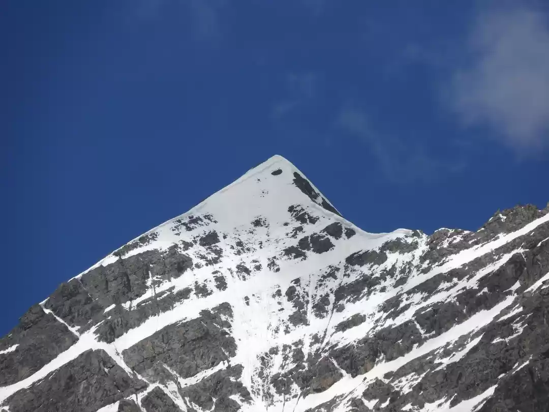
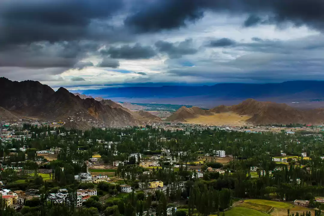
We spent the next 4 days, as part of the acclimatization process, sightseeing around the valley and making arrangements for our trek. We visited Shanti Stupa, which was a short walk from our homestay and that's where we viewed Stok Kangri for the first time. The next day we drove to Hemis Monastery and covered Shey Palace & Thiksey Monastery enroute.
On the last day we visited Likir Monastery and made a pit-stop at Sangam - the confluence of Indus & Zanskar rivers. We even tried the Magnetic hill science experiment but that was an epic fail!

We got down from our jeep at Stok Village, the starting point of the trek. Despite our personal quotas of dry fruits & trail mix, my rucksack was quite lightly packed. But that was about to change - our guide handed us a pair of crampons and an ice-axe each (we didn't need either since one can hire both at the base camp, thank you capitalism!). The agency, from where we had rented the crampons while arranging a local guide, had also recommended snowboots, but that meant carrying an additional 3kgs. The absolute necessity of the boots on this trek was questionable at best and it's probably not a good idea to use these shoes for a summit attempt without prior experience in walking in them, so we dropped the idea.
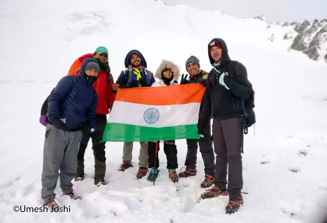
The way our group of 7 came to be would require a post of its own, but for now let's just stick to this story! It was the three of us (Varun, Ankur & I), then there was Thinless, another college friend of Ankur's, our local guide, a Mountaineering Couse instructor who tagged along to lead groups in future after learning the route (who also turned out to be one of my teachers at HMI, Darjeeling a year later), and a guy from somewhere in Europe who we had run into at the Leh Market less than 24 hours ago. I don't recall much about him, except that he was the oldest in the group and didn't speak much.
The first day of the trek was a gradual yet tiring ascend from Stok Village to Mankorma camp that took us most of the day. There's Changma camp in between where some people spend a night but we were good to go after a lunch break. Although my leg started cramping up about half an hour before Mankorma, the real pain in the ass was the terrain. The route after Changma was just an unending trail of scree (slope full of small loose rocks) and there were just a few sections of the trail where I got soft sand to step on. I managed the pain by looking up from time to time, for the rocky mountain formations were just out of the world!

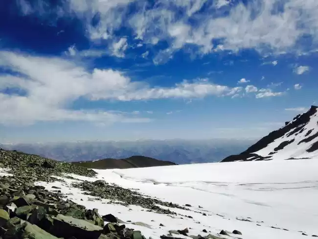
Day two of the trek, from Mankorma camp to Stok Kangri Base Camp, happened to be the shortest hike of the entire expedition. But that didn't stop the slightly steep trail or the harsh desert sun from beating down on us. It was a quick ascent to 16000ft above sea level - taking me to the highest point that I had trekked to/camped at so far.
We settled in the mess tent and passed out for a while. After lunch, we moved our belongings into our tents and started exploring the base camp - our home for the next three nights. The local body, that collects the nominal permit fee from trekkers while keeping a tab on the traffic, provided tents, sleeping bags & meals at INR 1500 per person per day, saving us from the need to carry food or shelter, the real heavyweight luggage on any expedition.
We spent about an hour after dinner doing some photography, but to no avail. The full moon night made it difficult to capture any stars but we didn't give up easy! The air was thin, making breathing a task, yet it held the letters I wrote with a flashlight!

The third day of our itinerary was meant for us to chill. We were scheduled to head out for the Stok Kangri peak at 12 am so the only tough task for the day was to find sleep early in the evening so that we could gear up by midnight.
Our team left for an acclimatization walk early in the morning, but Varun & I stayed back in our tent on account of our collective laziness. Later, it felt like we made up for it when we played cricket with the locals who work at the base camp. Like the others were doing, I started with a little run-up to deliver my first ball, but the breathlessness that ensued was totally not worth it, especially since the ball was indeed just a bunch of rolled up socks with a rock in the centre!

PS: We had talked to a lot people on the trails so far and it was easy to see that the summit-success ratio wasn’t very high. This story precedes my basic mountaineering certification and I just couldn't shake off the feeling that maybe my trekking experience is inadequate. But then I made a friend at the base camp, a young guy from Bangalore who worked at Decathlon. He had come till the base camp on his own and later tagged along a group of foreigners all the way to the peak. When he came back to the base camp, and described how the shoulder section seemed frightening and a bit "Everestesque", I was too busy thinking to myself that if he could do it I can do it! During the summit attempt you will realize that this bit of self-confidence and external motivation is extremely necessary for a grueling summit push.

Post-lunch, once our team was back, we gathered to do an equipment check. There were some issues, but our guide did some "jugaad" and we were good to go. I was under the impression that since we had hired the equipment from a legit adventure agency, they'd know what they're doing and the equipment would be in good shape. It also seemed like ice axes and crampons are pretty standard, so what's there to check.
Wrong. The onus of trying out the equipment at Leh itself was entirely on us. When the crampons broke the next day, it mattered.

"ALRIGHT, IT'S ABOUT DAMN TIME, LETS DO THIS!"
Said no one in a huddle that was never really formed. In reality, the scene before our departure was hurried and chaotic - running around, gearing up and double-checking that we hadn't forgotten anything. We finally started the trek just after midnight.
Right off the bat, the trail begins with a painfully continuous climb that takes about 30-45 to end on top of a mountain directly overlooking the base camp. Even though the sudden body warm-up was helping with the below zero temperatures, I couldn't help but wonder how two full days at 16000ft. had still left me gasping for air within the first 15 minutes of the hike.
When the rest of the gang reached the top, Varun & I were lagging behind. My inability to keep up kept me too preoccupied to know that Varun was having troubles of his own. At first, it seemed like he was just a bit slower, but after I joined the others and waited for him for a while, we concluded that something's not right. Our guide descended half-way down the trail, checked on him and returned after 20 minutes with the news that he was throwing-up and had to be persuaded to return to the tents. The fact that his stomach had given in and that he'd have to forfeit the summit attempt was heart-wrenching.
With that, our group of seven was reduced to six.

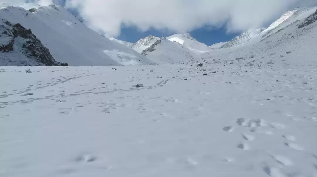
Unfortunate as it was, we withdrew our focus from Varun and moved on. With our vision limited to the range of our headlamps, we focused on our next step and kept walking on a flat trail of loose gravel for about 90 minutes before we reached the glacial moraine. A short easy climb took us to the middle of the glacier, a point from where the real climb starts (and progressively gets worse). After an hour's steep climbing, we reached the foot of the Stok mountain.
A mild headache that had been tolerable so far suddenly turned into a pounding monster that ran in tandem with my pace - standing still would return the pain to its former mild state and taking 5 quick steps in succession would make it play out like a Nucleya beat. Naturally, the gap between the fastest and the slowest member of our group widened.
With the others visible far ahead, Pawan (our guide), Ankur & I were trailing behind, battling a 3-hour-long section locally known as "zig-zag" - an extremely steep slope on the south face of the mountain where the trail takes one hairpin turn after another. Halfway through this section, when we had stopped at a boulder to wear our crampons, it started snowing. Not wanting to seem desperate, I asked Pawan if we were halfway to the summit, despite being under the impression that we must close to 90% after slogging so much. His reply, "another half an hour would make it 50%" just pulled the rug out from under my feet.
Yet, somehow, that was better than what happened next. Triggered by the gibberish that he was uttering, Pawan figured that Ankur was displaying AMS symptoms and must descend back to the base camp at the earliest. He asked me to abandon the summit attempt too since he was going to escort Ankur back, but didn't push much when I insisted otherwise. He gave me a few vague directions, asked me again if I was sure I wanted to continue, and started descending down the slope with Ankur.
With that, six became four.

Distracted, disinterested or probably just confident (that I'll figure it out), the directions given by our guide were absolutely useless. Since I couldn't find the trail, I stupidly took his worthless suggestion, "just go straight up" too literally. Every step I took sank in knee-deep snow and climbing a gradient close to 50% added unbelievable strain on my legs. The funny part is, it was all in vain as I was not even going in the right direction! When I was killing myself straight up the wall, the correct (much easier) trail steered towards the left and zig-zagged all the way up to the top.
Just when the near-vertical wall became too impossible (and seemed like the incorrect path) I started to panic. Luckily, that was cut short when I heard somebody call out from afar. The only thing visible was the head of a young Caucasian dude and his one arm waving at me - he asked me where the hell was I going and told me to come back on the trail - as if I desired anything else! One thing I learned traversing those 200 steps towards the real trail was that going horizontal on a steep slope is really tough due to lack of traction. And I couldn't be learning that at a better time, as one of my crampons came off. At a place where I could barely balance myself to stand straight, walking with one crampon surely must have looked like a funny sight. But he didn't laugh, not even when I fell and crawled on my belly for a bit, struggling to get up because of the loose snow.
After what seemed like ages, I made it to where he was standing which was also the starting point of the "shoulder" section. I thanked him for keeping an eye on me and made small talk as I caught my breath. Once he left, I stood there at the same spot for about 20 minutes, completely exhausted and contemplating whether I should continue. In spite of a severe headache that wasn't letting me think and a body that was willing to give up, I was more concerned about the safety hazards. The shoulder is basically a narrow ridge with high exposure on both sides and I had seen the 50m rope that Pawan was carrying to rope-up the entire team for this very section. Eventually, two Brits came down the shoulder and encouraged me to carry on. They weren't roped-up either, so I was like what the hell and started climbing.
About five minutes later, I crossed paths with the rest of my group. Before they carried on, they told me that the view from the summit is beautiful and asked me to climb with extreme caution.
With that, four became one.

A little further up the shoulder, I met an Austrian couple who were descending from the summit, all roped-up with an Indian guide. I'm glad I didn't realize at the moment that those would be the last people I'd be encountering on the mountain. Knowing that my entire team is gone was a bit unnerving as it is.
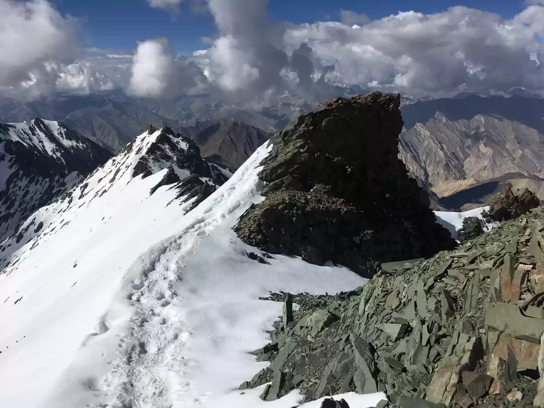
They say that 90% of the people who make it to the shoulder successfully summit the peak. And understandably so - even though the 2-hour-long shoulder has frightening exposures on both sides of the ridge, the 30% gradient makes it far less steep than the section before.
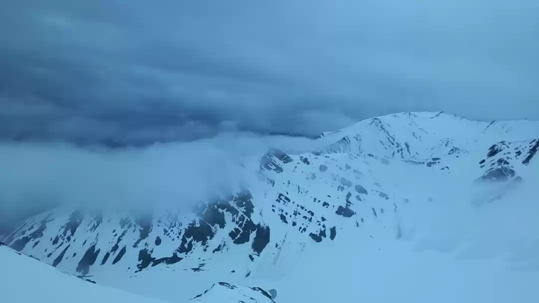
Above 19000 ft now, with every step I took I could tell how much my body was missing thick oxygen. Everything else - the headache, the fatigue, the cold, had become second nature by now. Every slope I climbed thinking it leads to the summit, I'd find out at the top, was only feeding the next one.
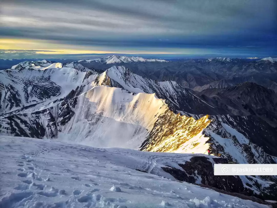
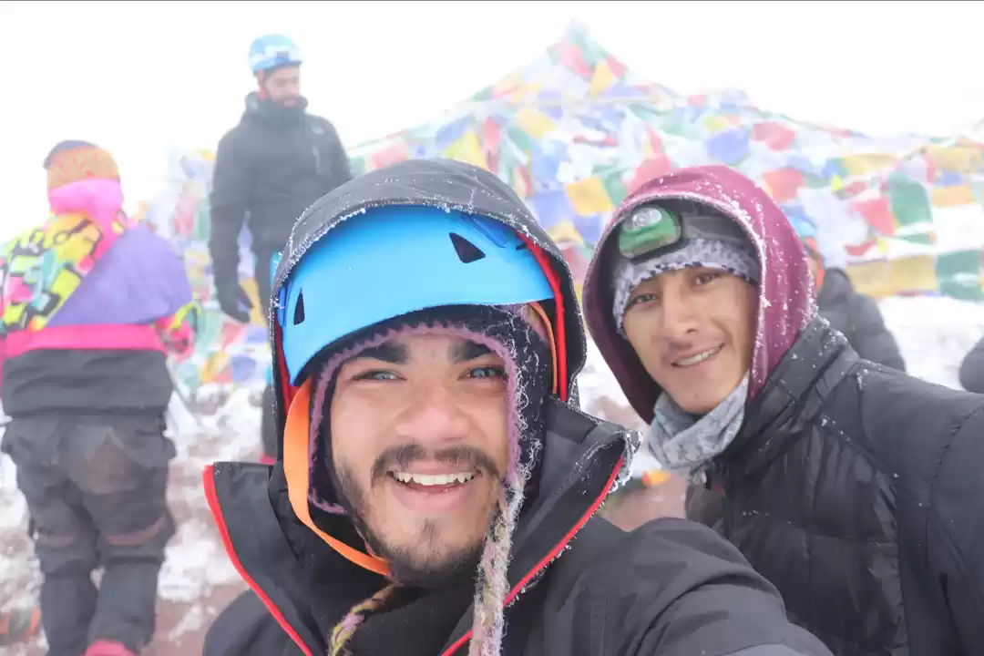
Finally, after nine long hours of climbing, I spotted the colourful prayer flags fluttering vehemently on top of the peak. With exhilaration putting my body on auto-pilot, I climbed the last few metres, threw my rucksack, congratulated myself and tried to take in the views. I've been told that you get panoramic 360-degree views from top, but for me it was all fogged-up. Yet, that couldn't stop those moments from becoming some of my best ever!
By now, I had figured out the bittersweet truth of being the only being on the entire mountain. And, as I turned on my phone to click this selfie, I realised one more reason why you need a companion on the top - to click your summit photo!

Standing tall at 20,000ft. I looked towards the prayer flags one more time before I started descending from the summit. My throat was parched and my body was drained, for I had finished the last sip of water my bottle had after giving up eating a completely frozen Snickers bar.
Slow and steady, I climbed down the shoulder section. As I searched for the trail forward, I recalled that when I was chatting with the Brits on my way up, I had seen a group of people descend down the snowy slope by sliding on their butts. Before I could decide whether it's a good idea for me to copy them, I found the right trail on which I zig-zagged my way halfway down the slope. Eventually, I came across multiple perfectly-shaped sliding marks that I just couldn't resist so I positioned myself on one of the slides and gleefully slid down the south face. One slide after another, I was back at the foot of the mountain in no time. A year later, I learned that this method of descending on snow is called "glissading" and all the snow that had entered my underpants could have been avoided with the right technique 🤣
Back at the glacier now, it started snowing again. Even though I couldn't find any trail or footprints, I knew for a fact that I had to go left. Beyond that, I had very little sense of direction - we had covered this section in complete darkness after all.

Trying to figure out which way we had come from, I covered the breadth of glacier twice before I concluded that I'm lost. If not for the heavy snowfall (accompanied by extremely low visibility), I would have convinced myself to sit down and wait for help. Not that that would have been a great idea under any circumstances, but I wasn't thinking straight and wanted to opt for any course of action that involved not moving a muscle.
Wondering how could I lose my way in the mountains twice in two years (that story is for another time 🙈), I climbed a bit up the glacier, trying to locate the trail that I had probably wandered off. Fortunately, I didn't have to go all the way up before I saw a pair of clear footprints marching down the mountain. I followed behind my new best friend for about twenty minutes before they strangely vanished. I turned a full 360 and eventually found another set of footprints. It seemed as if these footprints were small enough to belong to a child, but it's not like I had the liberty to choose who I followed.
The child, or maybe the man with tiny feet, finally led me back on to the trail. Beyond the glacial moraine, I spotted colourful prayers flags that gave a 99% assurance that things are back on track. Soon, I was back on loose gravel, making good speed on the flat trail. The last 1%, the crucial one, came to me when I saw our guide far up ahead, coming towards me. He was relieved that I was okay and told me that ankur & varun were fine too.
An hour later, I was back at the base camp after fourteen seemingly endless hours of trekking!

With the comforts of a hotel room within arm's reach, we started the last day of the trek in high spirits. This is another reason why Stok Kangri is such a unique high altitude trek - the return journey from the base camp to Leh city can easily be covered within one day.
As we hiked down the path leisurely, we stumbled across some regional wildlife, animals that I hadn't ever seen before. First up was a lone Himalayan Marmot, but it was a quick sighting before the cute little thing vanished. Next up, we found an entire herd of Himalayan Blue Sheep/Bharal at the water stream flowing next to the Mankorma camp. Fun fact: they're neither blue nor a sheep! Before the trail ended, we saw a few Ladakhi Dzo - an interesting animal which is a hybrid of yak and cow.
I'm glad that we came across these animals on our way down, for we weren't too busy battling an uphill-climb and could really enjoy each sighting. Along the route, we took one extended photoshoot-break after another, some of them even surpassing the time we took for lunch at Mankorma. :P
Back in Leh, we celebrated the expedition with a dinner party at the mall road!

How could the last day of an extraordinary trip be an ordinary one? After taking a rest day after the trek, on our last day in Leh, we drove to a small village nearby that was hosting a very auspicious event. It was the 6th of July, and His Holiness the Dalai Lama was visiting Leh for his birthday. Just like us, people from all across the Ladakh territory had come to attend the celebration.
He was on a stage, which was at the centre of a huge garden complex. In front of the stage, locals performed choreographed folk dances and serenaded songs that we obviously couldn't understand. Every remaining inch of the ground was occupied by people, who were sitting on the grass. Half of the crowd was facing the stage and the cultural performances, the other half were spread out throughout the park, clustered beneath large canopy tents, enjoying a sunny picnic day. Most of them had come prepared with large baskets of food and drinks!
Even though he was visible from where we were sitting, we got a close-up look only through a camera. His speech, along with his translator's, was not delivered in a language meant for us, so obviously we couldn't make out a lot that was happening that day. So Varun and I decided to make a picnic out of it for ourselves. We went out and came back with a lot of food, sat under one of the tents and had a pleasant day.

Learning from our past experience, it was a no-brainer not taking a bus on our way back. In the evening, we boarded our tempo traveller and started our journey back to Manali.
That's it folks, I hope you enjoyed the story!
PS: Unfortunately, Stok Kangri trek has been banned for the next three years. If you would like to go on an adventure similar to mine, do check out a blog I've written about 5 alternative treks to Stok Kangri Trek.


