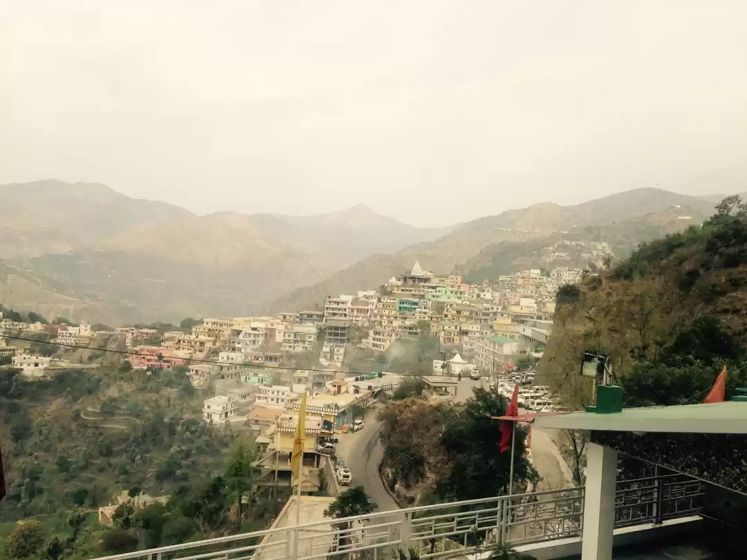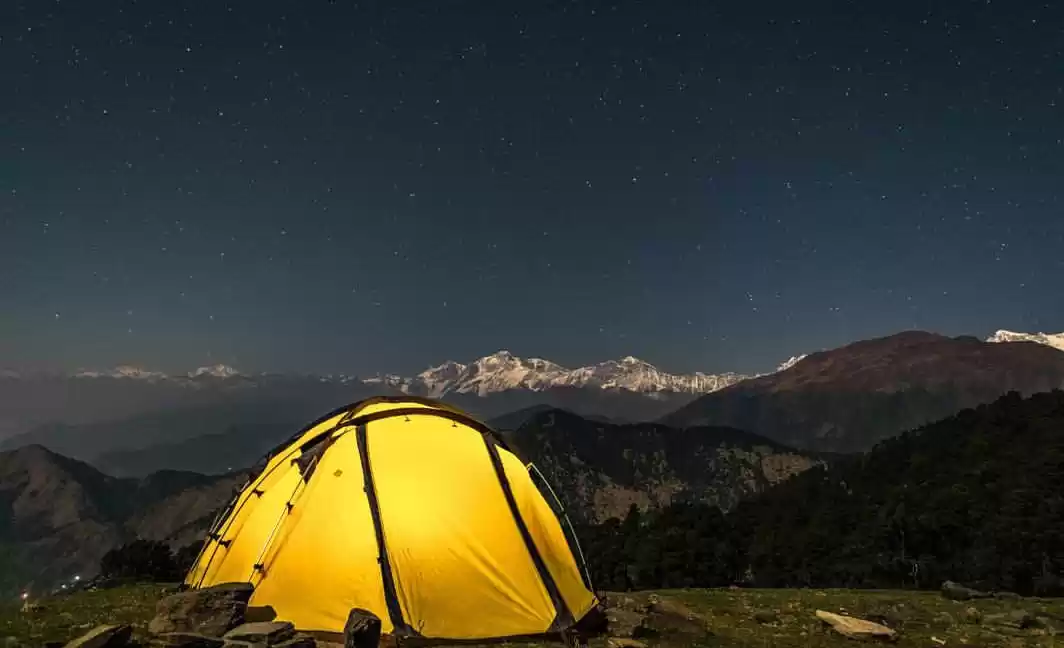
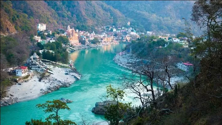
Rishikesh, also spelt as Hrishikesh, Located in the foothills of the Himalayas in northern India, it is known as the "Gateway to the Garhwal Himalayas" and "Yoga Capital of the World". It lies 21 km (13 mi) north of the city Haridwar and 45 km (28 mi) southeast of the state capital Dehradun. Rishikesh has an approximate population of between 252,533 and 320,222, making it the seventh most populated city in the state of Uttarakhand. It is known as the pilgrimage town and regarded as one of the holiest places for Hindus. Hindu sages and saints have visited Rishikesh since ancient times to meditate in search of higher knowledge.
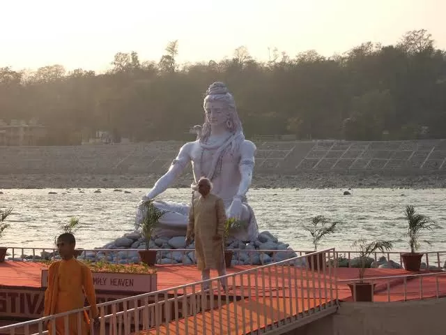
In September 2015, the Union tourism minister Mahesh Sharma announced that Rishikesh and Haridwar will be the first in India to be given the title of "twin national heritage cities". Due to the religious significance of the place, non-vegetarian food and alcohol are strictly prohibited in Rishikesh. The city has hosted the annual International Yoga Festival on the first week of March since 1989.
HISTORY:
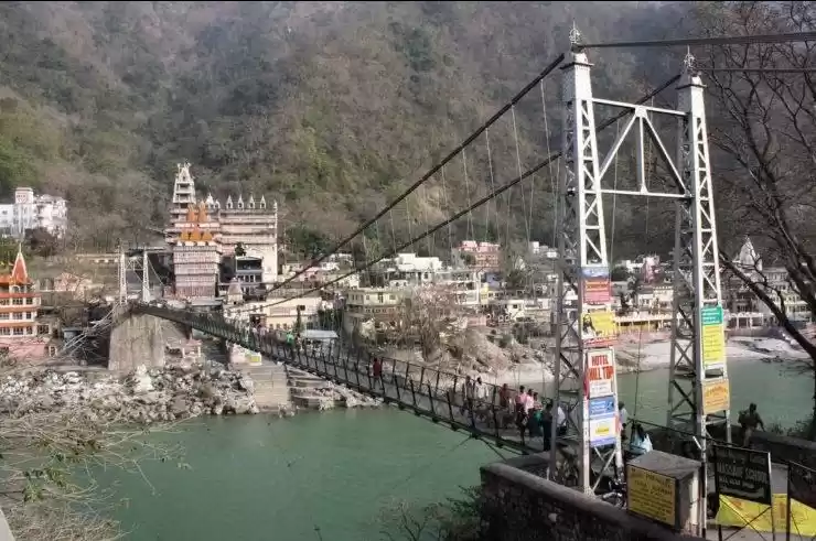
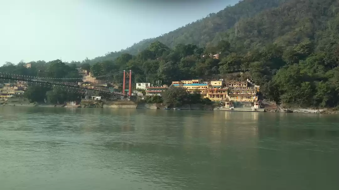
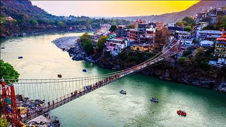
Rishikesh has been a part of the legendary "Kedarkhand". Legends state that Lord Rama did penance here for killing Ravana, the asura king of Lanka; and Lakshmana, his younger brother, crossed the river Ganges, using two jute ropes at the point where the present 'Lakshman Jhula' (लक्ष्मण झूला) stands today. The 'Kedarkhand' of Skanda Purana, also mentions the existence of Indrakund at this very point. The jute-rope bridge was replaced by a 248-foot long iron-rope suspension bridge in 1889. After it was washed away in the 1924 floods, it was replaced in 1927 by the present stronger bridge built by the United Provinces Public Works Department. This bridge connects the two districts of Tapovan, Tehri and Jonk, Pauri Garhwal. Another similar suspension bridge Ram Jhula was built in 1986 at nearby Sivananda Nagar.
In contemporary history, one finds the mention of Rishikesh in The Gazeteer of Dehra Dun, by ICS office HG Walton. It reads, " A village or town beautifully situated on the right bank of the Ganges, on a high cliff overlooking the river. The place is developing very rapidly, especially since the construction of the new bridge over the Song river, the realignment of the pilgrim road from Raiwala to Rishikesh.
GEOGRAPHY:
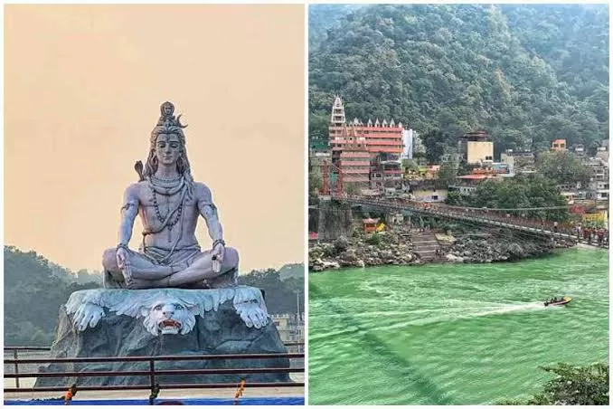
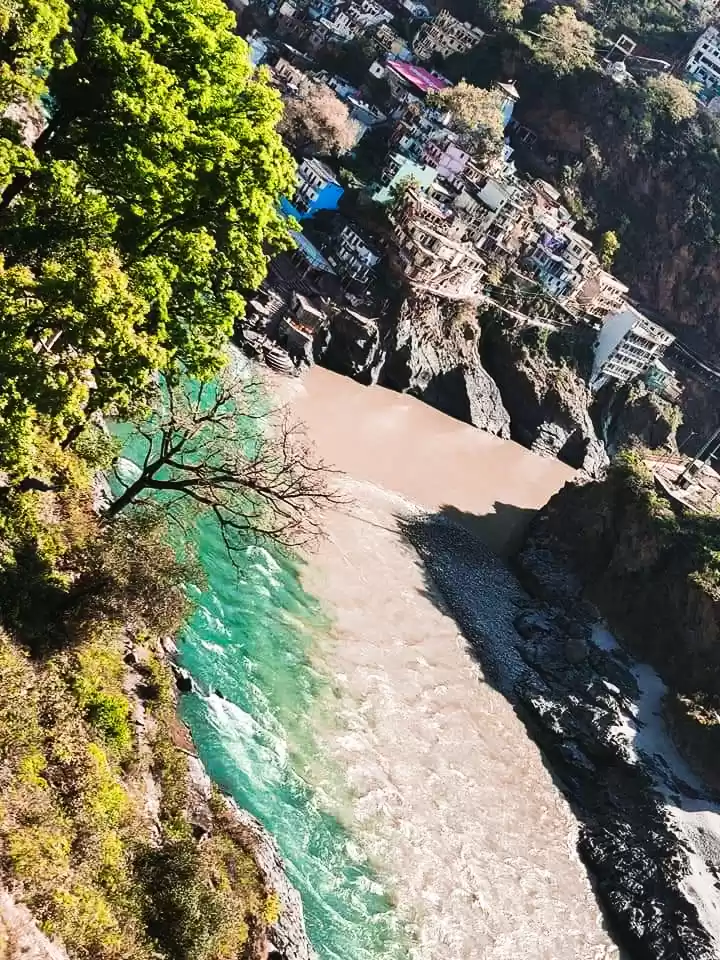
Rishikesh is at 30.103368°N 78.294754°E. It has an average elevation of 340 metres (1,120 ft). The town is located in the Tehri Garhwal region of the northern Indian state of Uttarakhand. After flowing 249 km (155.343 mi) through its narrow Himalayan valley, the Ganges emerges from the mountains at Rishikesh, then debouches onto the Gangetic Plain at the pilgrimage town of Haridwar. Despite the pollution of the Ganges, the water in Rishikesh is relatively unaffected as the major polluting points are down river in the neighbouring state of Uttar Pradesh.
Rishikesh is at 30.103368°N 78.294754°E. It has an average elevation of 340 metres (1,120 ft). The town is located in the Tehri Garhwal region of the northern Indian state of Uttarakhand. After flowing 249 km (155.343 mi) through its narrow Himalayan valley, the Ganges emerges from the mountains at Rishikesh, then debouches onto the Gangetic Plain at the pilgrimage town of Haridwar. Despite the pollution of the Ganges, the water in Rishikesh is relatively unaffected as the major polluting points are down river in the neighbouring state of Uttar Pradesh.


