There are trips that take you to exotic places. There are trips that help you meet some great people. There are trips that help you discover a new culture, a new language, a new cuisine. And, then, there are trips that change you and your travelling experience forever.
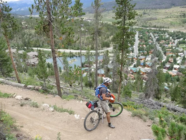
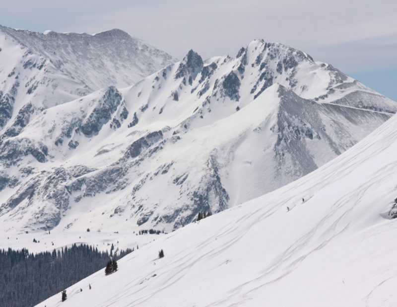
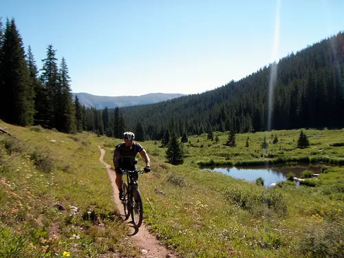
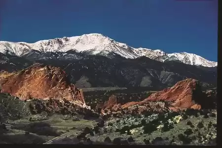
The Colorado Trail is unarguably one of the greatest hiking adventures in the United States. The whole trail spreads over 500 miles (from Denver to Durango) of mountain ranges, rivers, forests and wilderness. Filled with lots of unexpected surprises, this trail is on the bucket list of every mountain biker and hitch-hiker. More and more enthusiasts hike along this trail and as the travellers grow so does the trail, with new bridges, marking and switchbacks. My journey through the Colorado Trail was full of adrenaline and thrill, but more than that it was about exploring and discovering the place and battleing tought conditions (a sudden onset of rains). I took this journey with a friend. We were thru-bikers (those who cover the entire trail from east to west in a single journey). You can hike this trail in parts too, but a single journey is much more intense and exciting. We completed this trail in 12 days. (Although, it may take some hikers up to 40 days to finish it.)
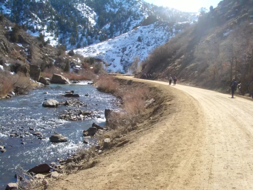
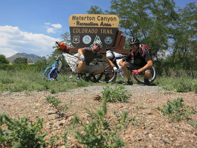
Our journey began at the lowest point of the trail, the Waterton Canyon in Denver. Since this is the lowest point of the high roads that are to begin and is closer to the city, it is usually filled with tourists. Having said that, the scenic view of the place is equally admirable even with a crowd around. This is the starting point of the trail and our spirits are intact. The first six miles of the trail are flat and broad but as you go up the canyon, the road gets narrower.
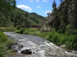
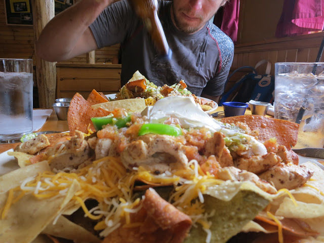
As we pedal up onto the actual trail, we encounter a sign that says "Colorado Trail". Let the Adventure begin. As we pedalled along, we reached the beautiful South Platte River. The trail along the river runs 30 miles and you will find this one to be one of the most scenic trails of Colorado. Riding on the bridges and the mountainside along this river, you come in touch with the rustic and charming beauty of this place. We finally reached Bailey, a small town on the trail, and gobbled up the famous "Nacho Mountain" (Caution: It is impossible to finish this one.) We stayed there for a nigh and next morning, after a lovely breakfast, set out for the Kenosha Pass. This Pass located in the Rocky Mountains is not very difficult to travel through. It is mostly flat and is covered with Pike National Forest. The backside of the pass is where things start to get interesting. After a few miles you will run into some rocky sections of large boulders in the trail that will probably slow you down quite a bit.
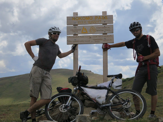
From there we slowely descended into Breckenridge, another small business twon where you can sit down for a nice meal. Here we also got some good advice to take the Gold Hill route to the Copper Mountains. This route is full of scenic, rugged mountains, a national forest and a beautiful flowing river. It is here that a faint drizzle greeted us. Although, the sky looked beautiful, it left us drenched and uncomfortable. We descended from the mountains to the Kokomo Pass, croses the continental divide between the Gore Rnage and the Rocky Mountains. From the Kokomo Pass there was a steep descend into Leadville. Another historic town known for its mining history.
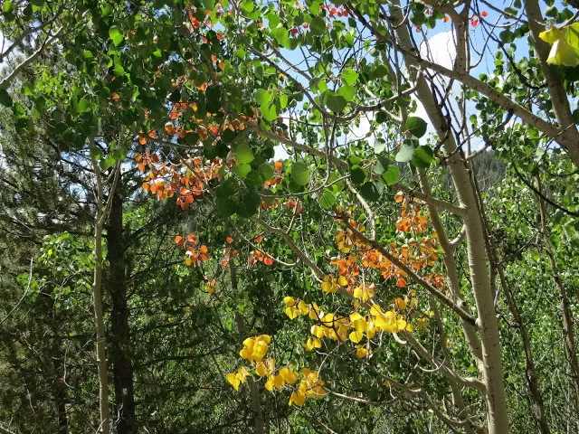
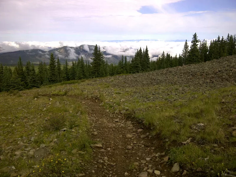
From there we went through Bueno Vista, another town to the Marshall Pass. This pass through the Rocky mountains is at least 14 miles. It is a slow ascend as the path can get rocky and narrow sometimes. The first half of the climb is smooth, but as you go higher the ride gets more and more tricky. The entire path is covered by bright, gorgeous, colourful trees and flowers on both sides.
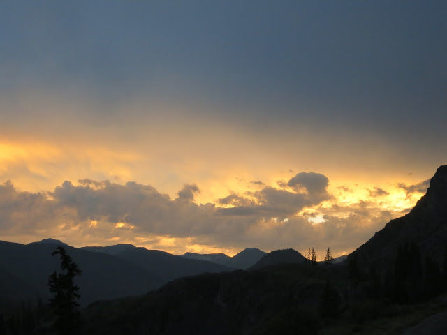
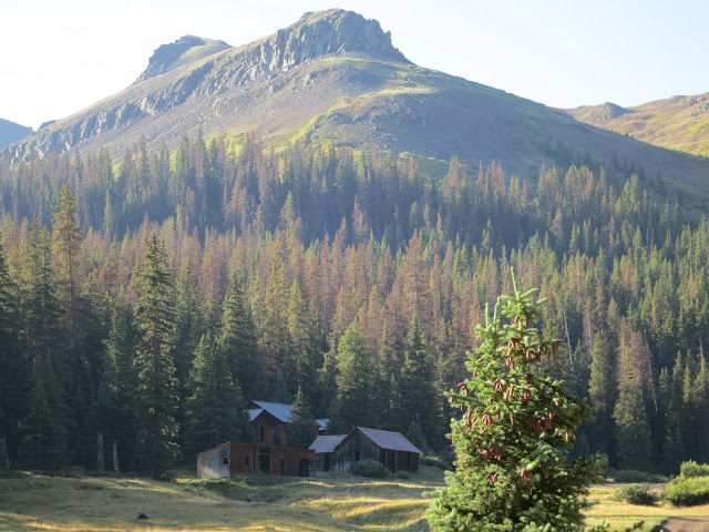
Through Sargent Mesa, we reached the Cinnamon Pass, where we enjoyed a breath-taking sunset. This pass leads to the Salt Lake city and is a part of the Alpine loop (the other half is called the Engineers Pass, which is not commonly used. ) We reached Old Carson, a beautiful townsite.
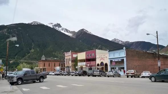
Finally, we reached Silverton, the last stop of our journey. This town was famous for the existence of silver mines in the past. Today, it provides a stop tothe Colorado trail hikers. a rail road connects this town to Durango (end stop of the trail).. You can ride to Durango too form here. Silverton also provides rafting and mountain climbing activities.
The 12 day jouney, through mountains and rivers ended here. There is a lot written about this trail and many hikers have experienced this journey. There are too many blogs that describe either the whole trail or parts of it, but the trail and the excitement associated with it can only be 'experienced' on the road.

