Ladakh: Four Idiots & One XUV500: Part-3. (Lamayuru to Leh)
Next day, We were going to visit one the most beautiful places on earth.
Day 7 (17/05/2018): Leh to Merak (Pangong Tso)
Pangong...Pangong...Pangong...
The entire night this named echoed in my mind. I woke up at 0615. My fever and cough were disappeared. That was the effect of Pangong Tso.
All of us were ready to move at 0700. We checked out from Zaltak guesthouse and thanked Nubroo for his amazing hospitality to our kind of budget travelers.
Pangong Tso is a beautiful endorheic lake situated in the Himalayas and is 134 km long, extending from India to China. Pangong Lake is situated at a height of 4350 m. The one factor that makes this Lake so popular is the fact that it keeps changing colors.
We carried 30ltr of fuel in cans. After Leh, we were going to travel more than 700km without any fuel bunk. XUV has a 70ltr tank. It is more than enough to do a 600kms run. However, we were going to drive in some of the worst roads.
Keeping extra fuel is always advisable.
Our night stay was booked at a small village named Merak on the bank of Pangong Lake. Merak is 175km from Leh city. We started our journey to Merak sharp at 0715.
We bid farewell to Leh town and started driving towards Thikse Monastery. I wanted to visit Thikse Gompa but other guys were over excited for Pangong Lake. We dropped the Idea to visit Thikse Monastery. Clicked some Photographs and moved ahead.
Vicky took the wheel and started driving towards Sakti Village.
I was hopeful to get tea and Maggi at Sakti Village. We reached Sakti village after an Hour. We stopped at Takthok Monastery. The name Takthok, literally meaning 'rock-roof' was named because both its roof as well as walls are made up of rock.
After a quick breakfast, we moved ahead. We were enjoying the nature and mountains. There were some breathtaking views of Mountains.
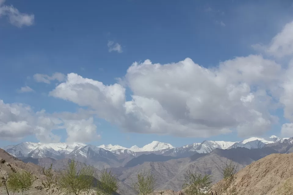
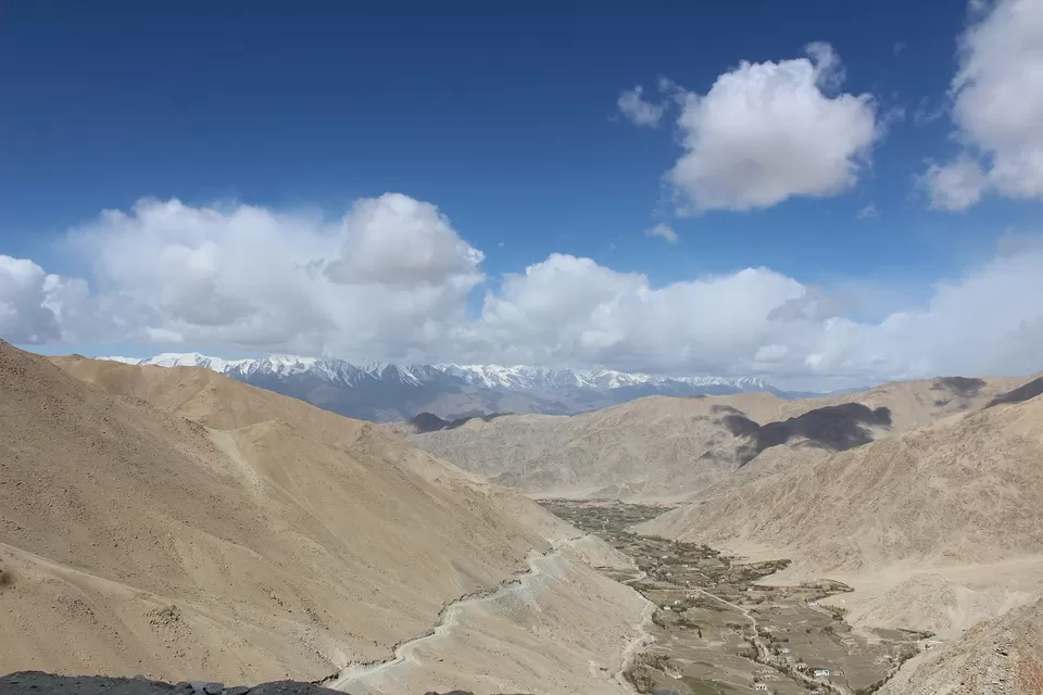
We stopped at many places to enjoy those views.
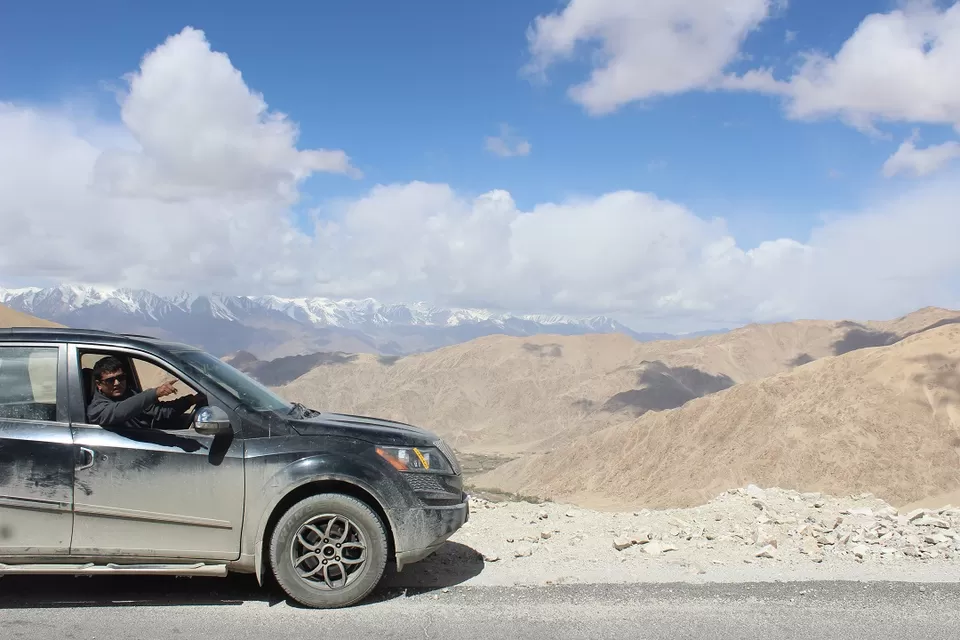
We were approaching Chang La. We met that famous Z, crossed it, clicked it and moved ahead.We were approaching Chang La. We met that famous Z, crossed it, clicked it and moved ahead.
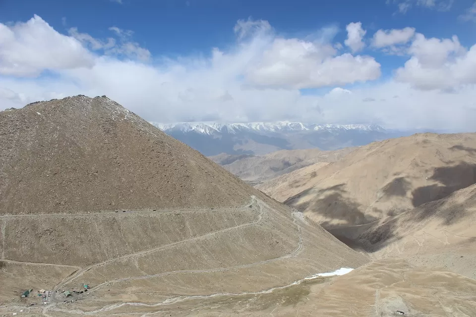
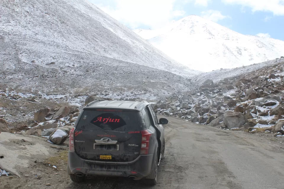
We started climbing on Chang La pass.
After that famous Z, the road to Chang la is always chaos. Pangong Lake is one of the top tourist attractions and Chang-la pass is the gateway of some of the border military posts. Due to these reasons, Pangong road is always busy with taxis and military supply vehicles.
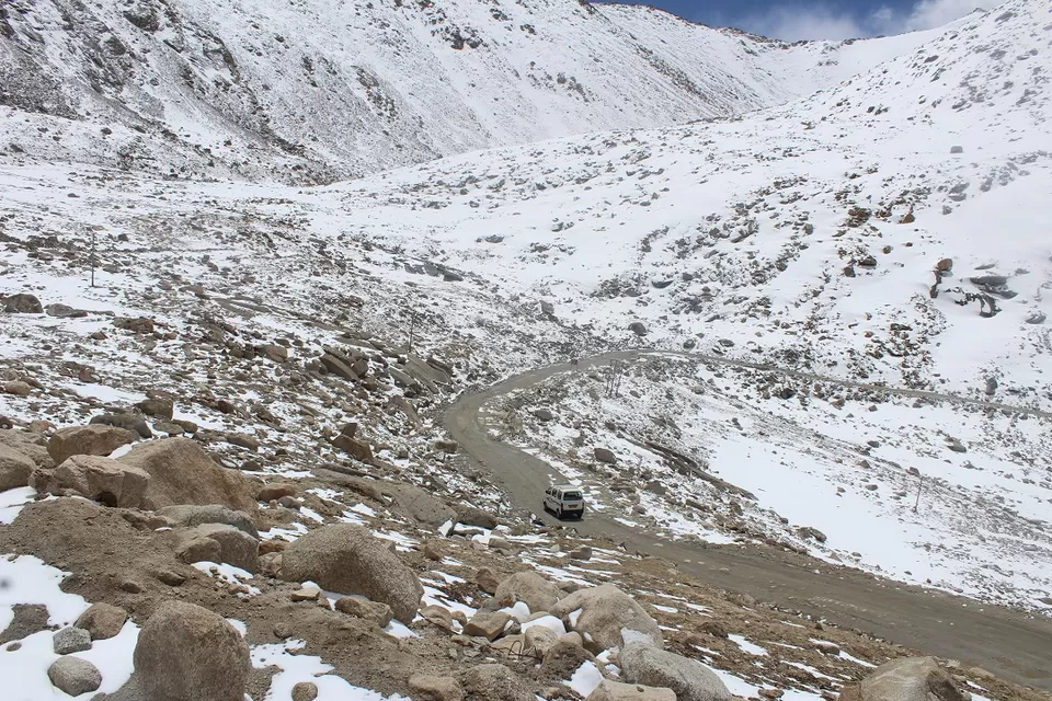
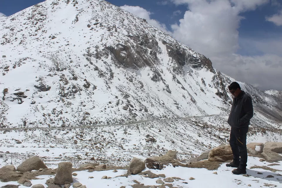
We had to take a diversion from Pangong road.
After that famous Z, we took a diversion towards Wari La. The road after that diversion was in very bad condition. We had to negotiate some very tough and stiff slops. It was tough. Our XUV struggled on those slopes. We were not able to take any photo or VDO of that road.
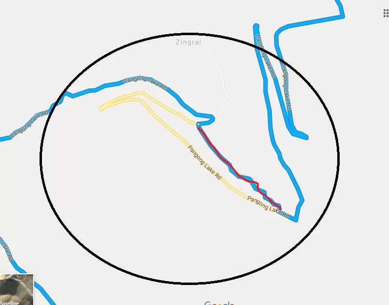
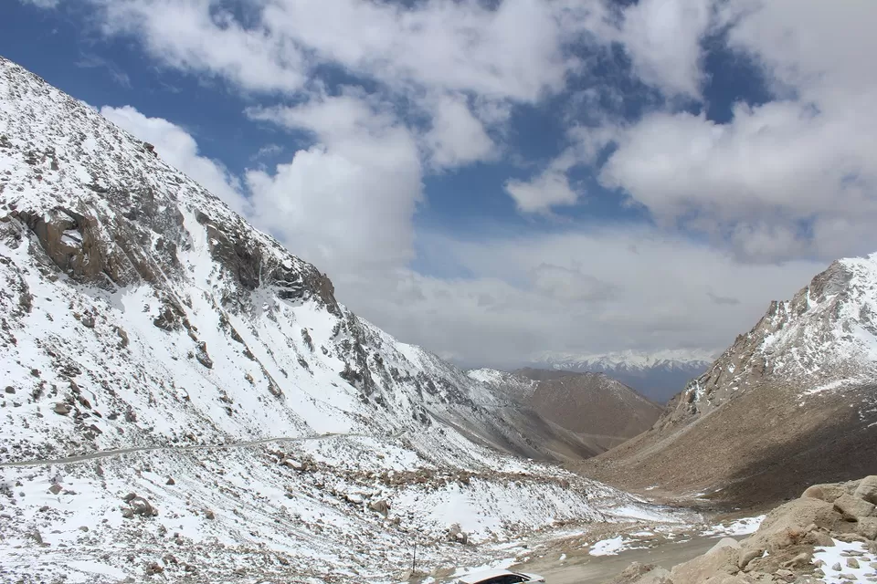
We negotiated that tough patch of road and reached Chang La.
The Chang La (also known as Changla) is a high mountain pass at an elevation of 5360 m (17,590ft). The pass, guarded and maintained by the Indian Army (due to its proximity to Chinese border), is covered with snow throughout the year. The Changla Pass is the main gateway for the Changthang Plateau situated in the Himalayas. The pass is located on the 134 km-long road between the Pangong Lake and Leh.
Vicky took the wheel.
We started getting down from Chang La.
We were entering in the territory of Yaks, Himalayan Marmot and Kiangs. We spotted many yaks. We were searching for those "biscuit crazy" Himalayan Marmot. We didn't find any.
We kept moving ahead. The road was good. We were enjoying the drive and amazing views. After some moments, we spotted a small frozen lake. We immediately took a turn towards that Lake.
We stopped at that lake. I got out and started getting inside the frozen Lake. Other guys were skeptical about the thickness of surface. I was also sacred a bit but what was the harm in trying. I got in, ran on it, jumped on it just to saw others that its safe to walk on that frozen Surface. Other joined me. We had a great time with that small lake.
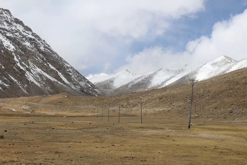
We loved that Lake. Normally, during Jun, July, August or September tourist never come across this kind of frozen lake.
Vicky offered to pack that lake and carry it to Ahmedabad. I rejected that offer by saying a 700ltr boot space cant accommodate this lake.
We moved ahead. We found one more frozen river.
We were approaching Tangste village.
We faced a mild sand Strome on the road to Tangste. Here is a small VIdeo.
That sand Strome calmed down after some minutes.
We kept moving towards Tangste.
Within 20 minutes we reached Tangtste. The small town of Tangste is the nearest settlement of Chang La pass. We stopped for a while at Tangtse to do registration formalities.
At Tangste, we thought to have some food. I decided against it as I wanted to reach Pangong Lake as soon as Possible. I convinced others that there"ll be plenty of food joints at Pangong Lake. We left Tangste and moved ahead.
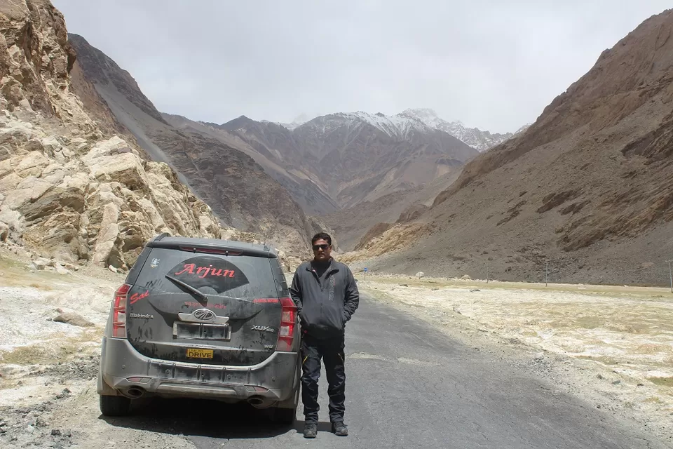
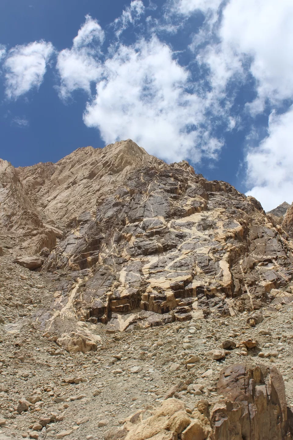
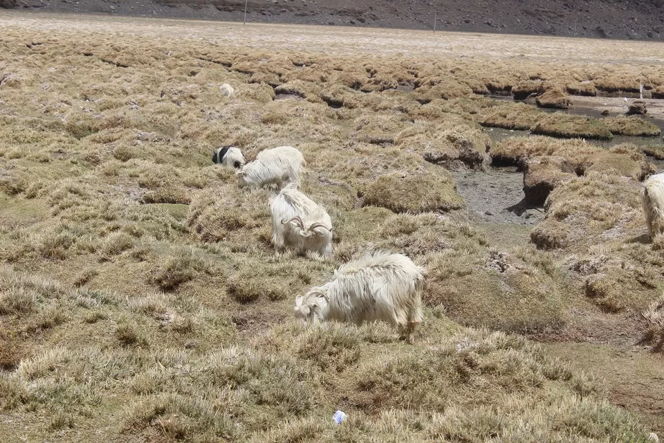
We stopped to click some photographs of Pashmina goats. They literally rushed to our Vehicle. I offered them some Parle-G biscuits. One big goat got excited and climbed on our vehicle to get its share of biscuits. We fed all our stock of biscuits to goats.
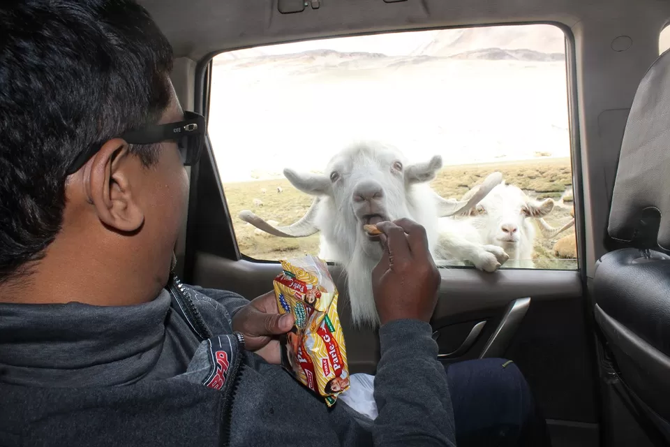
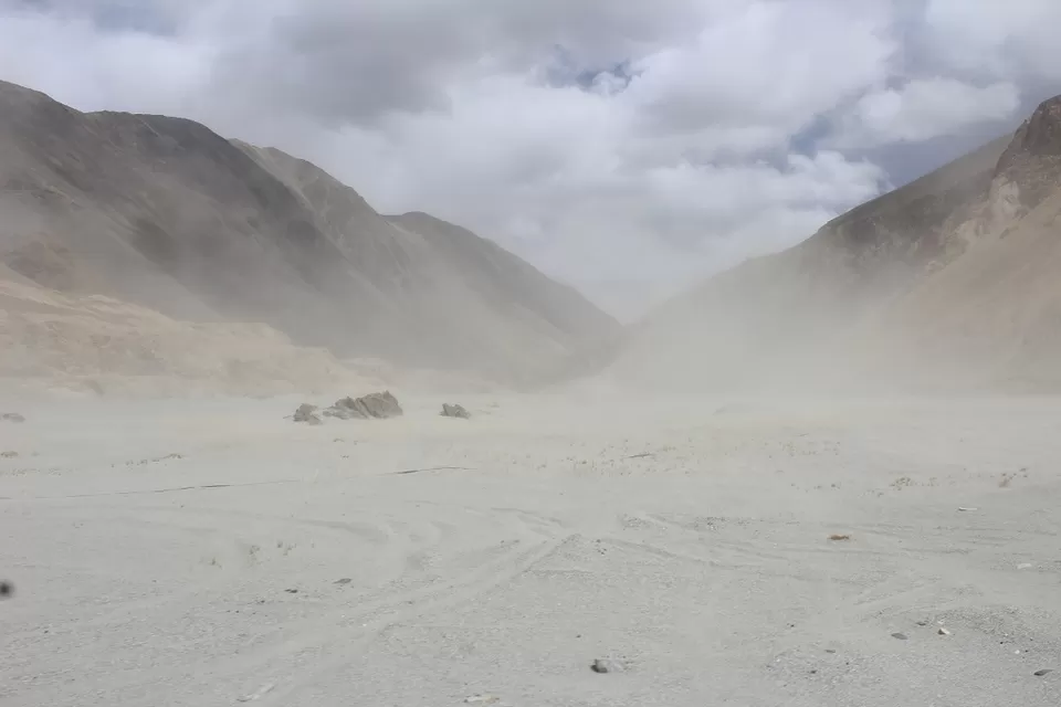
We had to run from those hungry goats. We moved ahead and got stuck in one more small sand Strome. That Strome decreased our visibility. We stopped for a while and let the Strome pass.
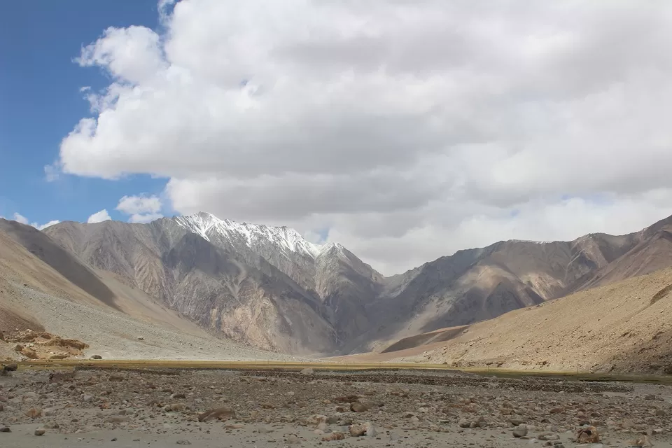
We were excited to see the first view of Pangong Lake.
We were negotiating mountain roads at a slow pace. After a small turn, Pangong Lake 's first view welcomed us with a big smile.
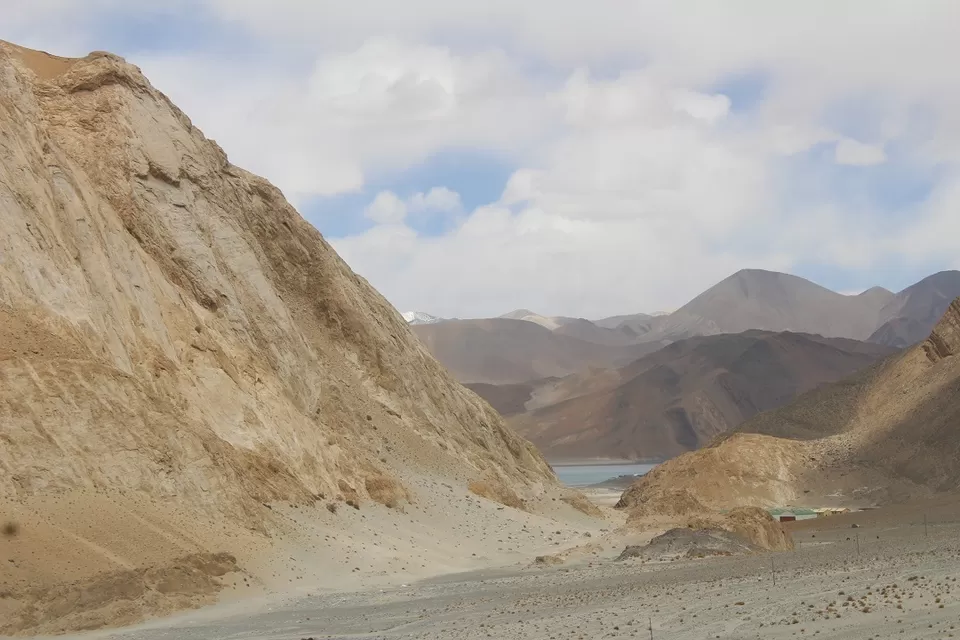
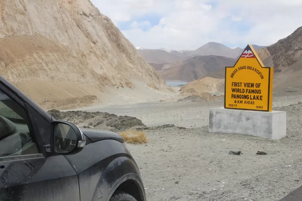
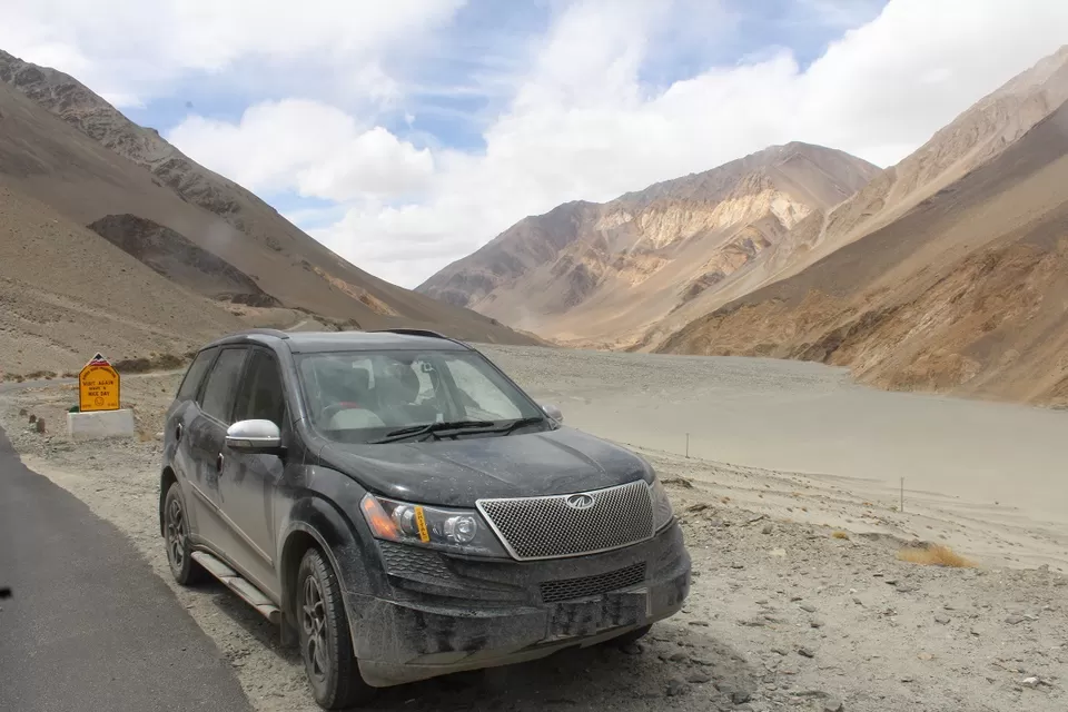
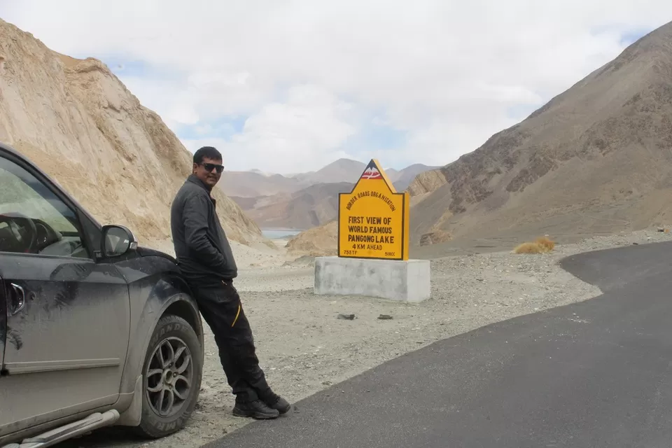
We did a quick photography session and started towards Pangong Lake. We were excited to be at one the most beautiful places on earth.
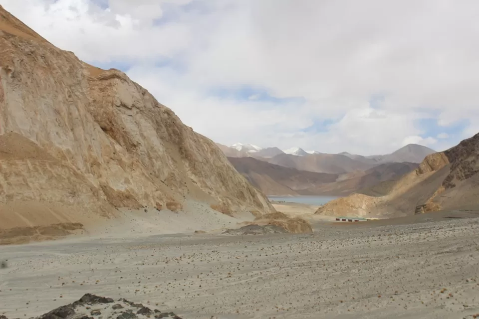
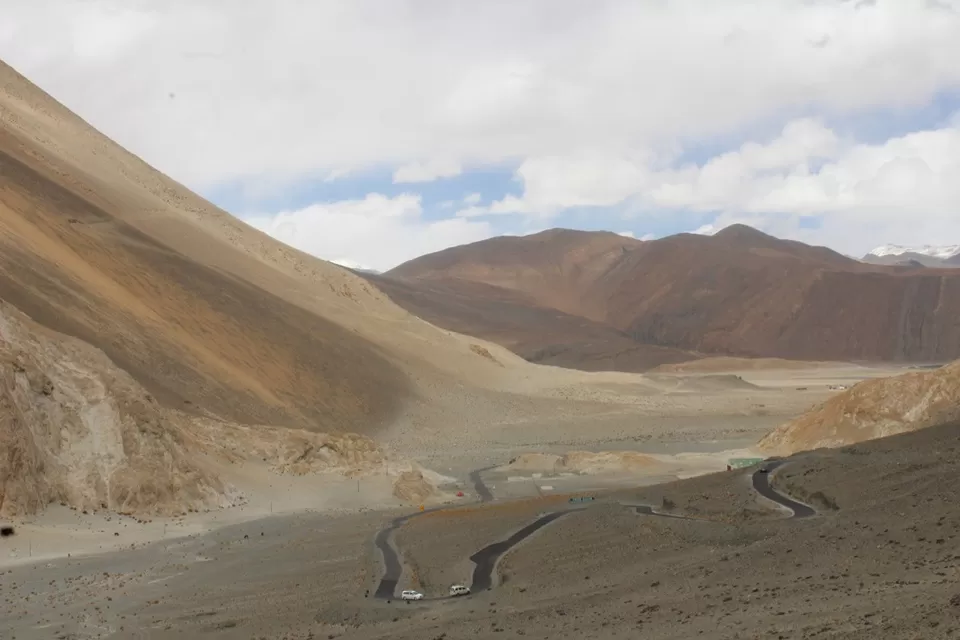
We reached Lukung.
Lukung is the starting point of Pangong Lake from the Indian side. We were at Pangong Lake. I consider myself lucky to visit this amazing place fourth time in my life. I knew that it was not the last time. I"ll come again and again and again...
Pangong Lake, situated at a height of almost 4,350m, is the world’s highest saltwater lake. Its waters, which seem to be dyed in blue, stand in stark contrast to the arid mountains surrounding it. Extending to almost 160km, one-third of the Pangong Lake lies in India and the other two-thirds in China.
Pangong Lake, one of the most famous lakes in Leh Ladakh, derives its name from the Tibetan word, “Pangong Tso”, which means “high grassland lake”. You could spend hours in contemplation here, and still not have enough of its beauty. Pangong Lake is also known to change colours, appearing blue, green and red at different times. If you have decided to go on a trip to Ladakh anytime soon, don’t forget to visit the Pangong Lake. The beauty which awaits you there cannot be described in words. It has to be seen, felt and absorbed within yourself.
I liked Three Idiots movie but I hate the damage it made to Ladakh region. Earlier, Ladakh region used to be an adventure circuit. After Three Idiots movie, Ladakh became a tourist destination. I hate it or not. Three idiot movie actually helped locals in a big way. My other mates were excited to get clicked with that yellow scooter. I got along.
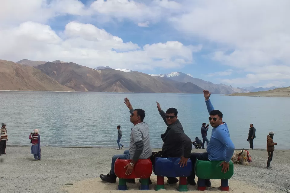
We left that overcrowded end of Pangong after a quick photo session.
We moved ahead. Our destination for the day was a small village named Merak. There are a few villages on the bank of Pangong Lake named Lukung, Spangmik, Man and Merak. We were approaching Spangmik. We planned to have our late lunch at Spangmik village. Lukung to Spangmik road was in excellent condition.
On the road to Spangmik, we gained some hight and the lake became blue.
After a while, We started getting down. We were getting near to Spagmik Village.
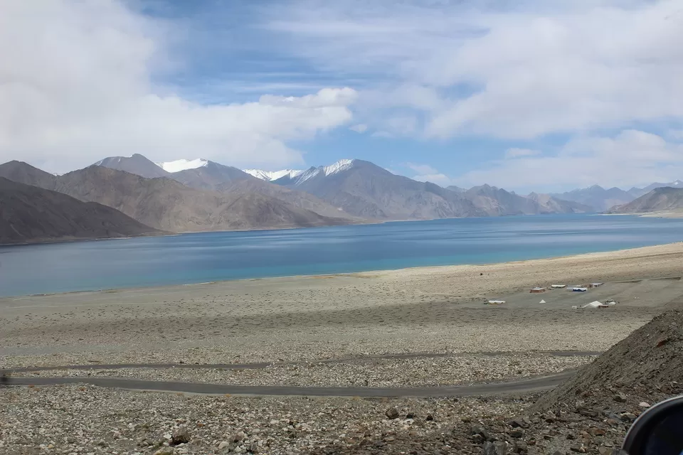
We got down at the level of Pangong Lake and once again it changed its colour to green. I have seen blue Pangong, green Pangong and black Pangong. I have a dream to see white Pangong but for that I "ll have to visit this during hardcore winter.
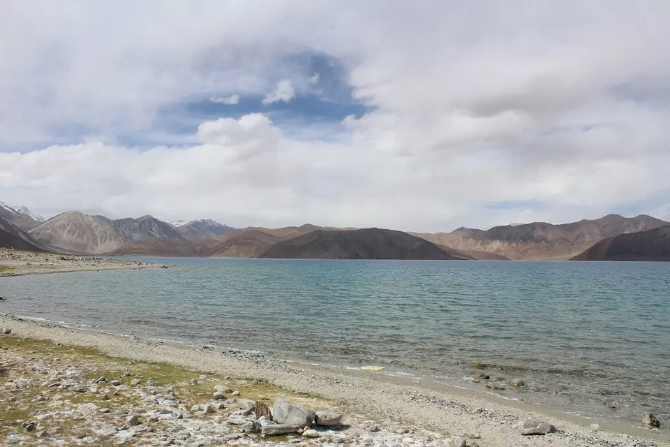
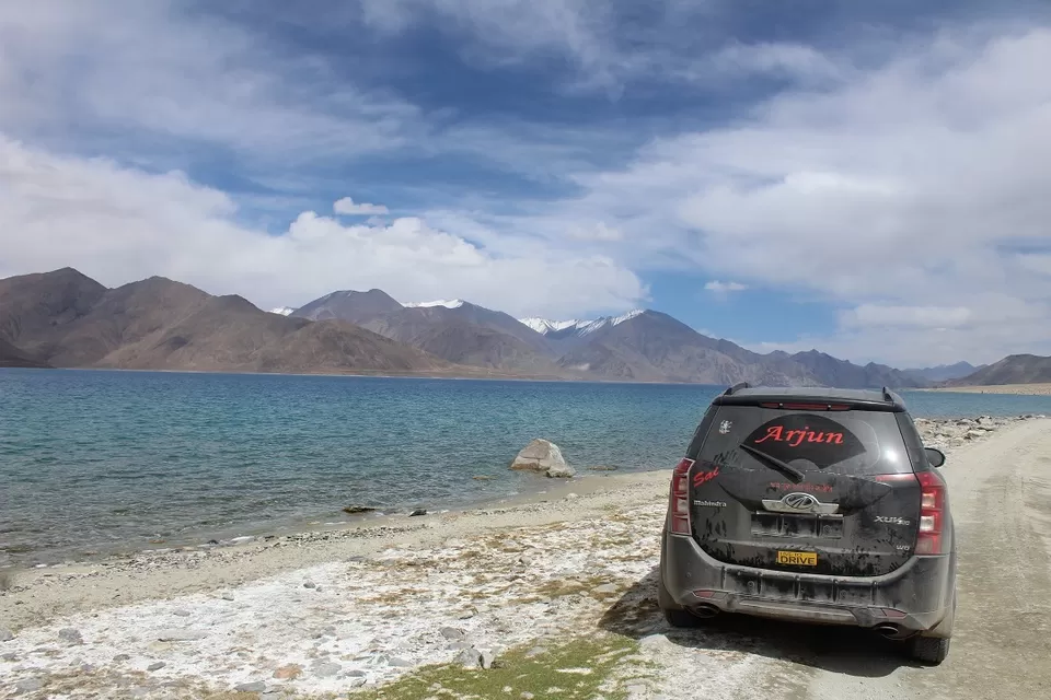
We were hungry and equally excited. We were enjoying the drive with Pangong Lake. We decided to have our lunch at Spangmik. Spangmik came and we ignored it.
Spangmik is as remote that a village can get but still remains accessible by road. It is almost like being at the edge of the world. A small army check-post bars civilians from going any further towards the border of Tibet.
We kept moving. We thought we would get some food at Man or Merak village. However, food was not that important. We wanted to spend maximum time with Pangong Lake
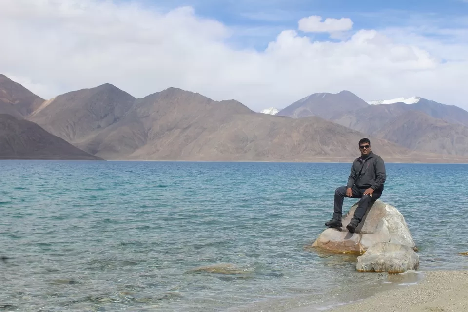
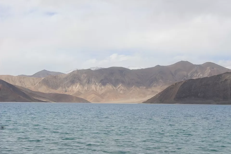
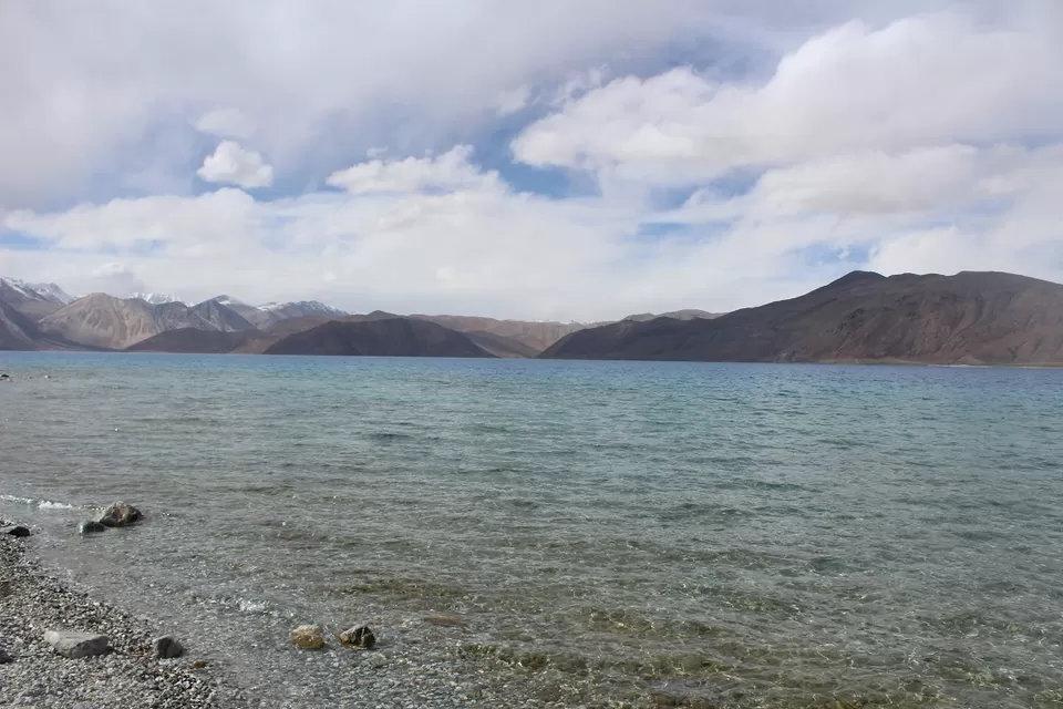
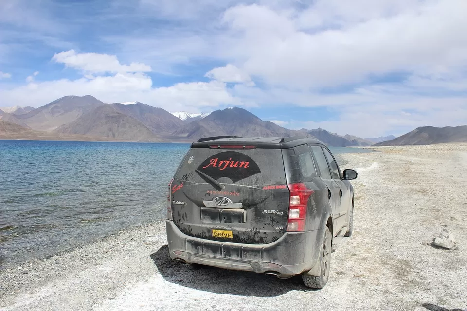
We reached Man village at 1400. We stopped and inquired for food. There were some tent accommodations options, none of them was serving food. Actually, they were setting up their tent set up. We were hungry. We cursed that Pashmina goat who eat all of our Parle -G biscuits.
We were thinking what to do(Eat). We were 14km away from Merak Village. However, I knew that 15km could take more than 2 hours. The owner of Home stay at Merak briefed me that road after Spangmik was in very bad condition.
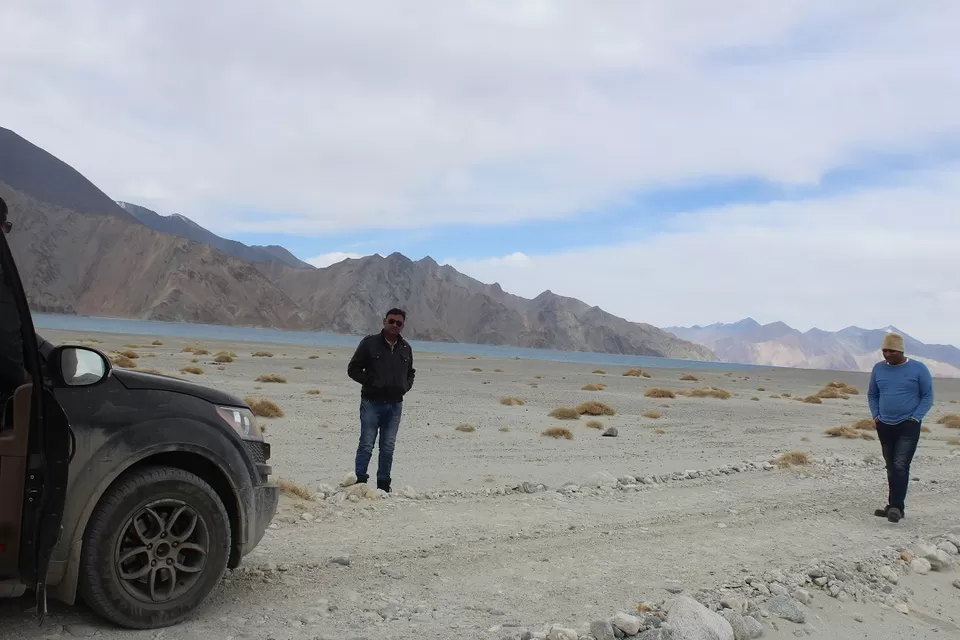
We had only one option, forget our hunger and drive to Merak village.
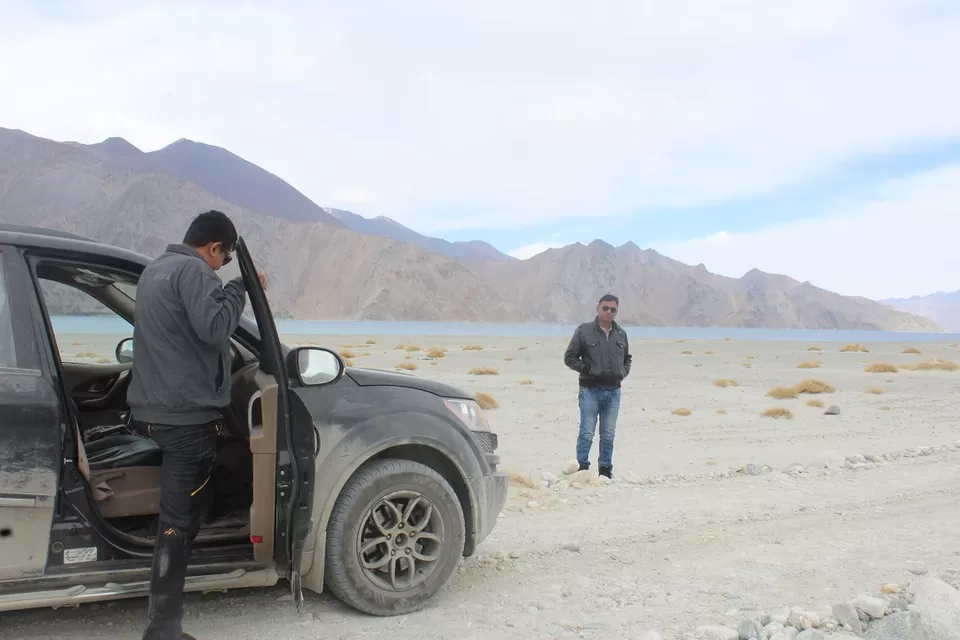
We started for Merak.
I was driving. No one was in the mood to take any photographs. I put on the Dashcam and started negotiating some the worst road of our entire journey.
We reached Merak at 1530.
We met the homestay owner and asked to cook something for us. We checked in at the homestay.
Ladakh: Four Idiots & One XUV500: Part-3. (Lamayuru to Leh)
Ladakh: Four Idiots & One XUV500: Part-5. (Merak/Pangong Tso to Karzok/ Tso Moriri)

