Fort State: In ruins
Difficulty: Medium
Endurance Level: Medium
Things to carry: Two liters of water, snacks, Trekking shoes.
Best time to visit: Any time of the year
Type: Hill Fort
Time to Explore: Three hours
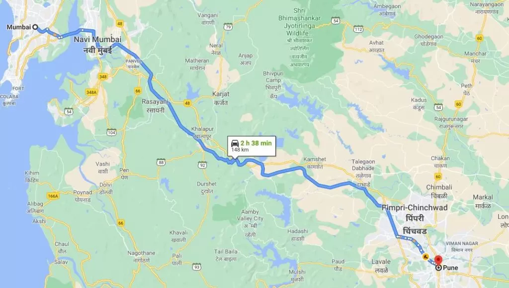
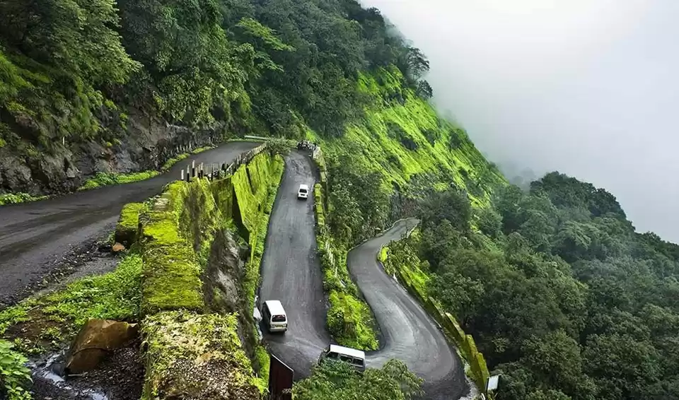
How to Reach: Near Waduste village which can be approached via Tamhini Ghat or Lonavala - Amby Valley way.
History: Not much information is available about this fort.
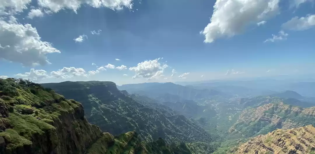
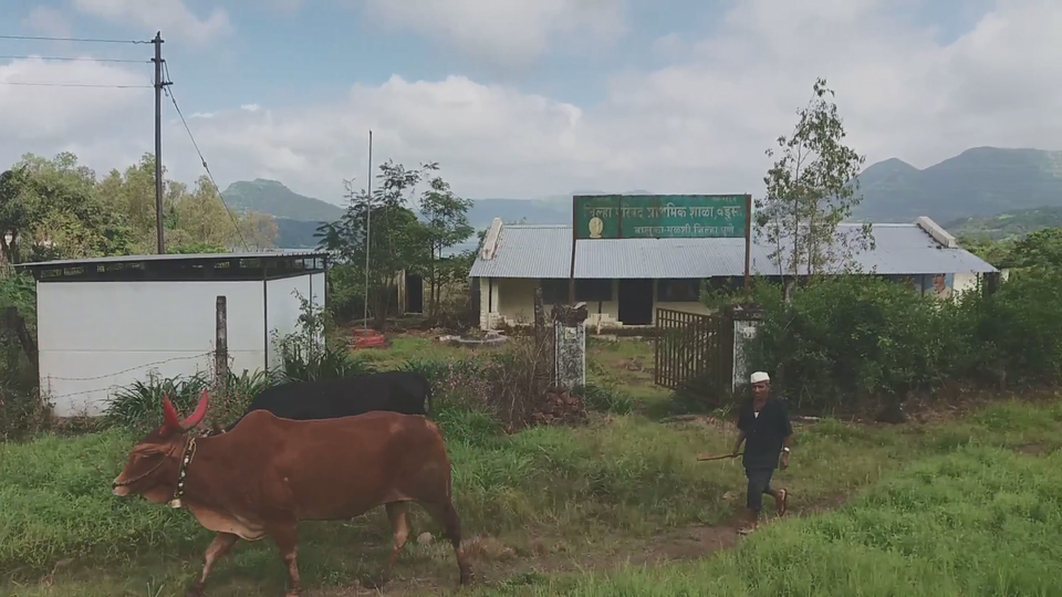
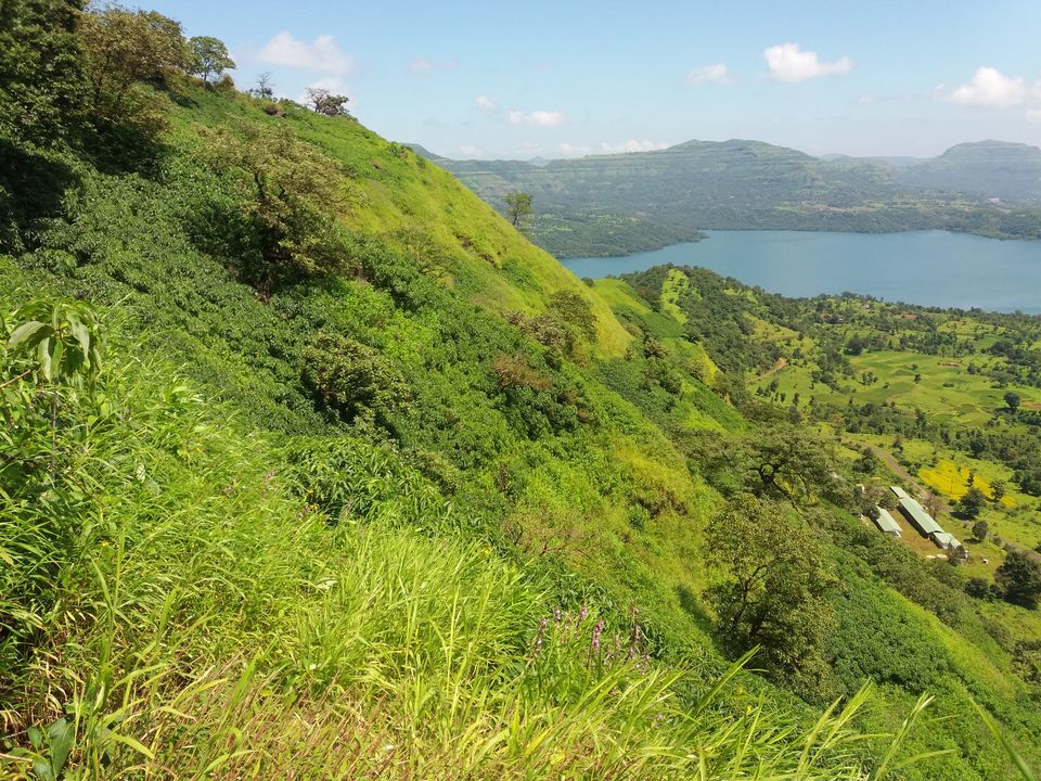
Kailasgad Fort is a hill type fort located near the source of Mula river surrounding the Mulshi dam. It can be reached via Tamhini Ghat or via Lonavala from Pune. Waduste/Bhadaskhonda are the base villages for this fort.
There is a mountain pass just 2 KM ahead of this village from where the trail to the fort starts. You can also keep electric transformer as an identity in mind.
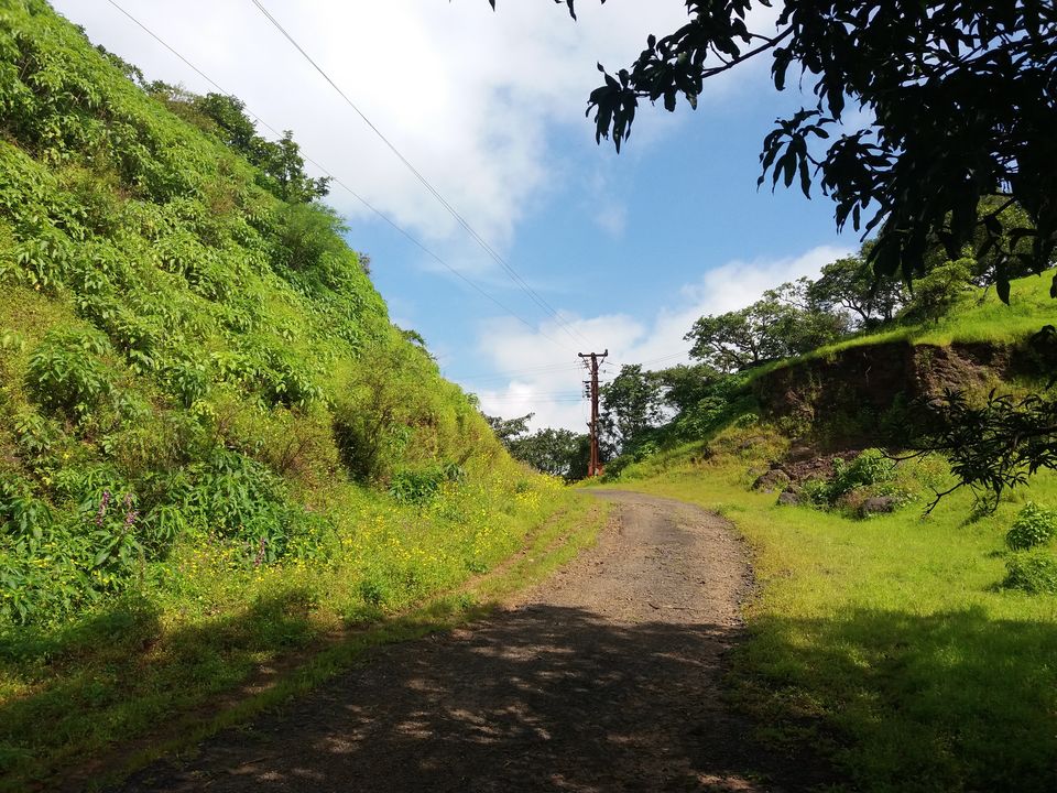
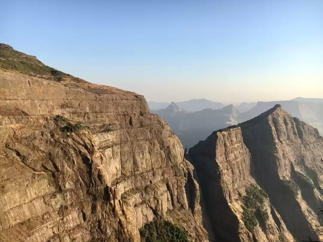
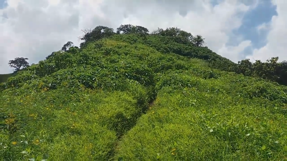
There are five hills in total that forms the part of this fort. We can see the road has been carved out from the first hill and just opposite the electric pole, path to fort starts.
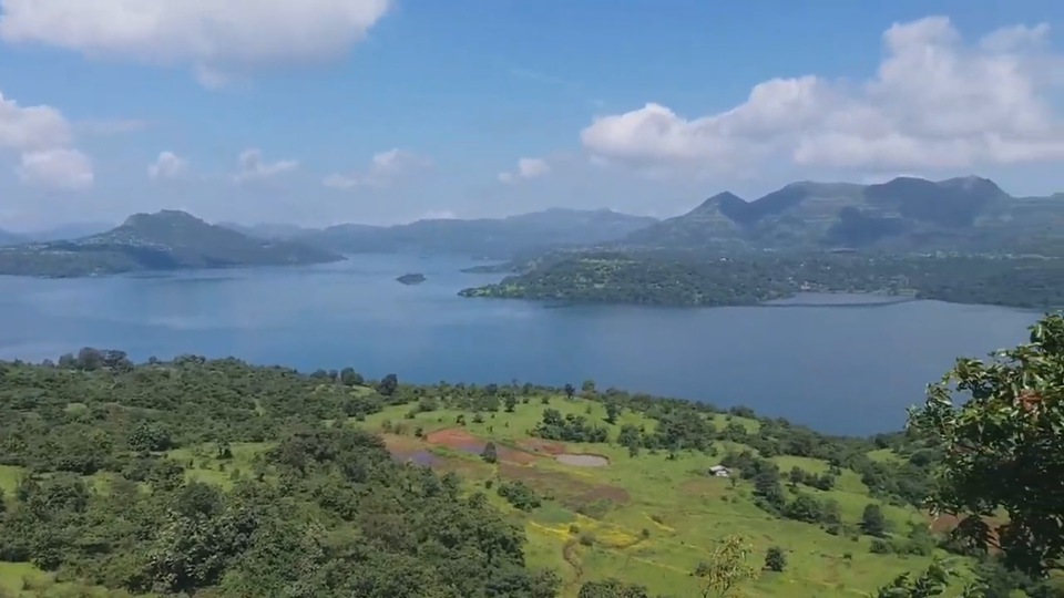
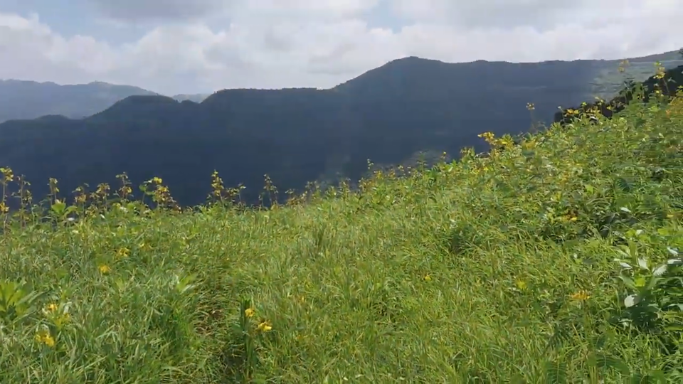
It takes close to 15 minutes to cross the first hill. We get a panoramic view of Mulshi dam's backwater from here.
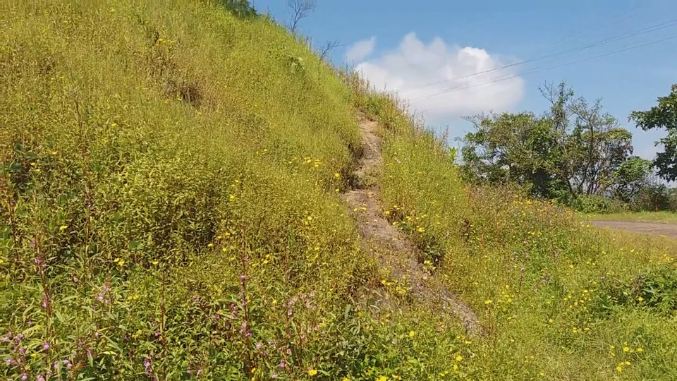
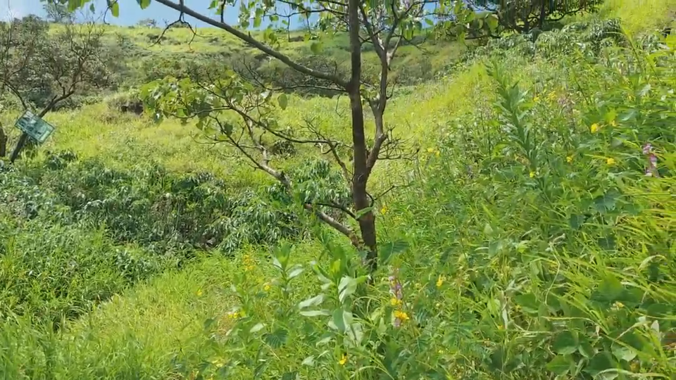
It takes another 15 minutes to climb up the second hill. Be careful, as after rainy season, the shrubs grow 7 to 8 feet tall. It is very important to be cautious while walking through this dense greenery.
After crossing the second hill, we need not climb the third hill. We have to walk around the hill keeping valley on the left and hill on the right side. Be careful here as the walkway is extremely narrow.
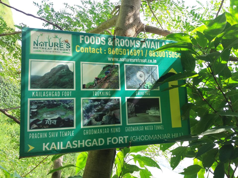
About 15 minutes of further walk brings up to this board. There are many such on the way which helps us track the correct path.
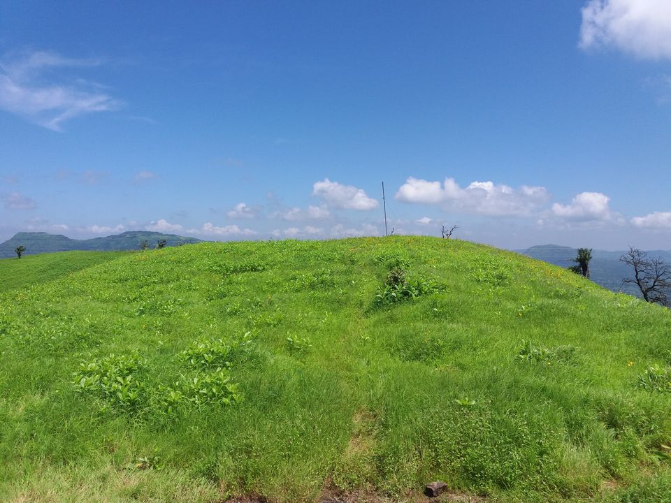
We need to climb up the third hill. There is a small rock patch here.
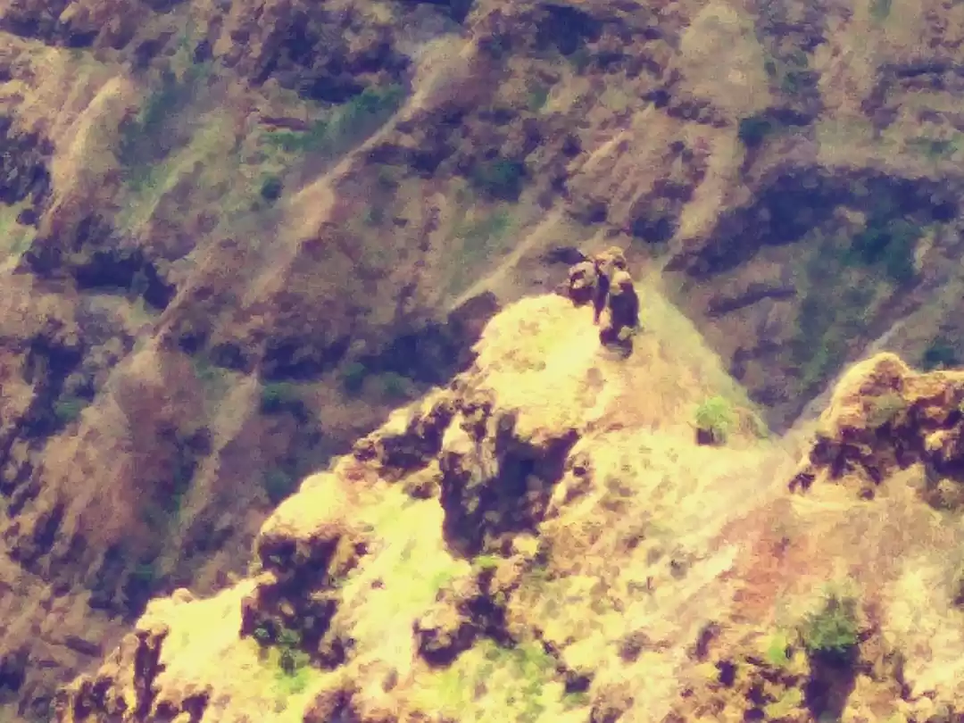
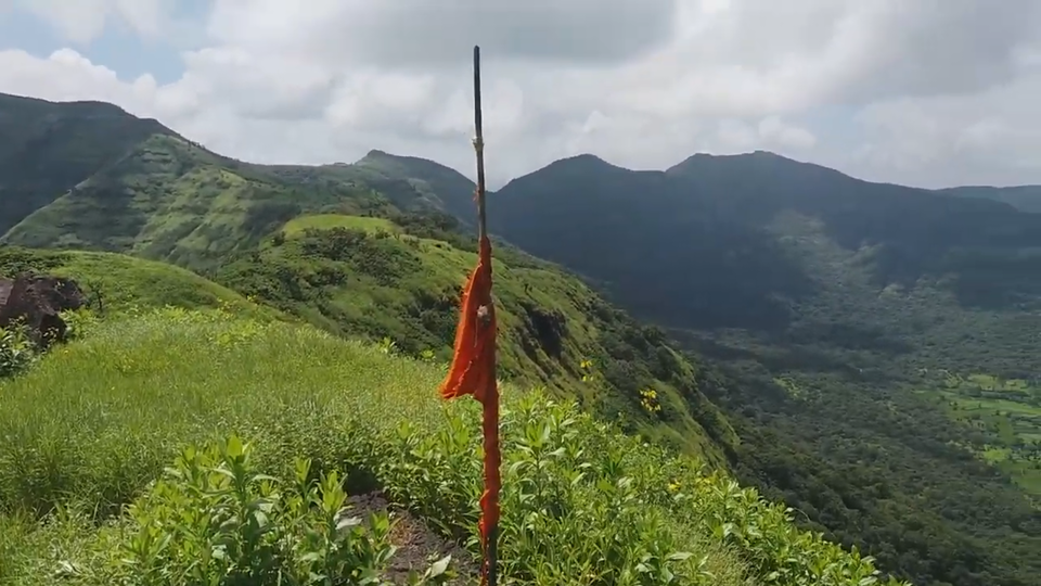
As we reach the top of third hill, on the right side, we can see a big pole which must have been used to hoist the flag.
We need to take left turn from here to cross the fourth hill. There are two ways from this hill. One that goes down towards water tanks and the straight to the top of fort.
I went down to see the water tanks first. There was no water stored in it. Also the water tanks work seem to be incomplete.
I came back to the same point again and climbed up for 5 minutes more to reach the top of the fort. We first see the Shiva temple under a small shed. Because of this temple, fort might have been named so.
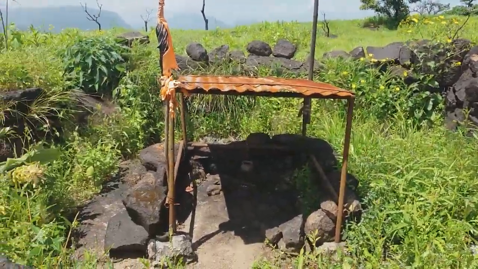
At the other end of the fort, we can see the Saffron flag. A very large territory can be seen from here.
Apart from these, there is nothing much that can show the existence of fort here. Looking at the size on the top, this fort must have been used only to keep an eye on the surrounding areas.
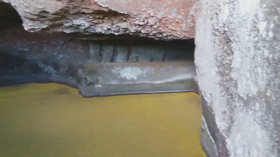
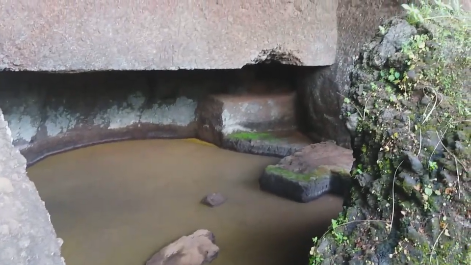
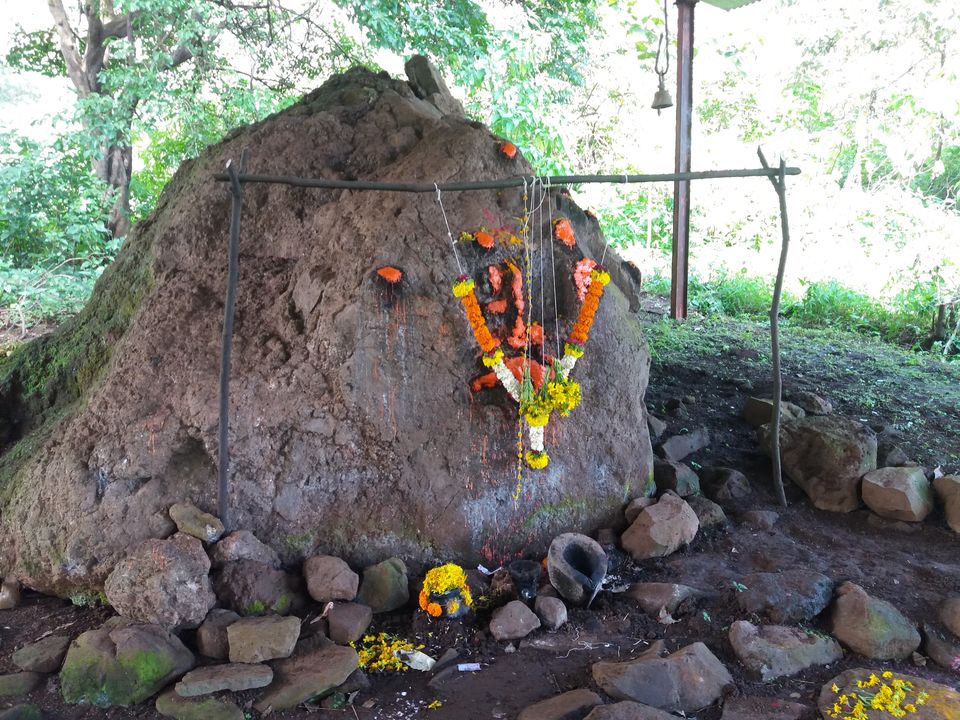
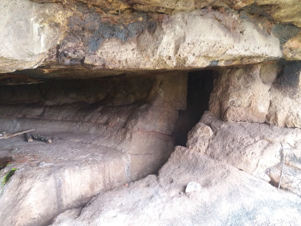
Going ahead from the mountain pass, there is Bhadaskhonda village where we can see a natural cave. As we go right from the main road, we can see the Waghoba temple carved out in the rock.
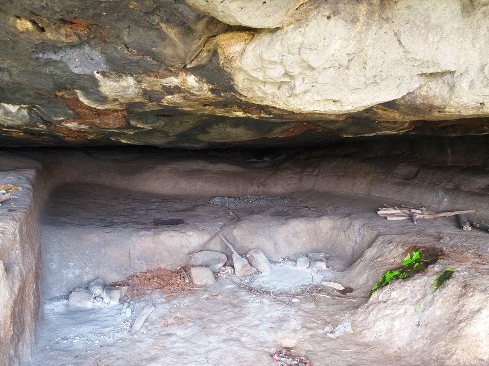
Another 10 minutes of walk further towards the hill takes us to the natural cave. It is quite deep and also there is a small room on the right side.
You can watch the vlog below.
Leave only your footprints, Take back only pleasant memories.

' fill='%23359391'%3e %3cpath d='M46.1538462%2c43.5714286 L41.5%2c50 L36.8461538%2c43.5714286 L36.8670256%2c43.5714286 C36.3173077%2c42.7142857 36%2c41.6851429 36%2c40.5714286 C36%2c37.4854286 38.4535641%2c35 41.5%2c35 C44.5464359%2c35 47%2c37.4854286 47%2c40.5714286 C47%2c41.6851429 46.6826923%2c42.7142857 46.1329744%2c43.5714286 L46.1538462%2c43.5714286 Z M41.4294872%2c39 C40.6150641%2c39 39.9487179%2c39.675 39.9487179%2c40.5 C39.9487179%2c41.325 40.6150641%2c42 41.4294872%2c42 C42.2439103%2c42 42.9102564%2c41.325 42.9102564%2c40.5 C42.9102564%2c39.675 42.2439103%2c39 41.4294872%2c39 L41.4294872%2c39 Z' id='Location-white'%3e%3c/path%3e %3c/g%3e %3c/svg%3e)