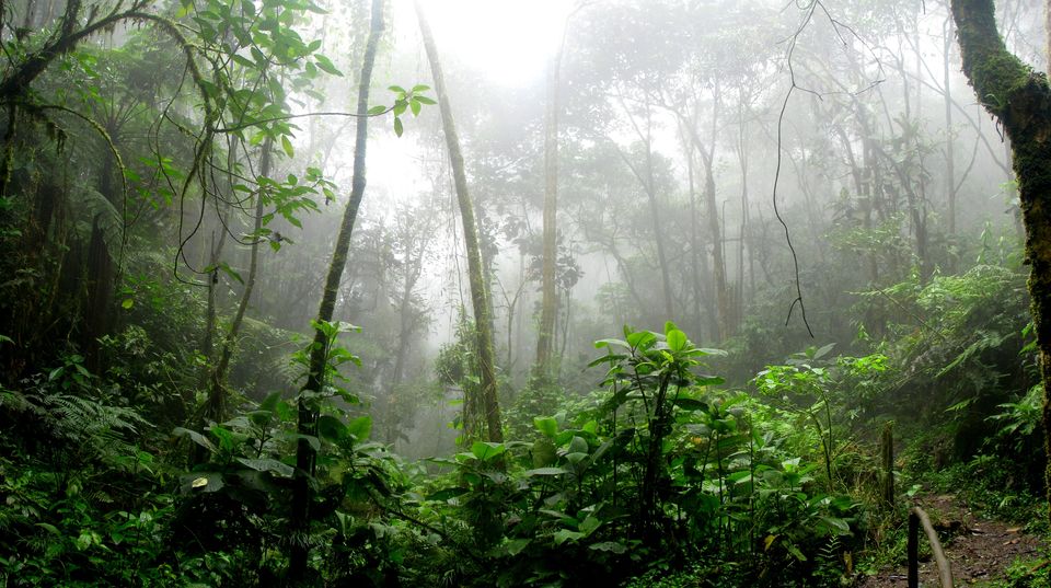
“The air was full of all the night noises that, taken together, make one big silence…..”
― Rudyard Kipling, The Jungle Book
Mark these words, for these words have found their personified self and are all set to make you wander amidst these silences; the silences of Kipling’s jungle. Crafted in 1894 the famous Children’s anthology ‘The Jungle book’ is believed to be inspired from the jungles of Central India; and much to our surprise, you can now go and trek amidst them.
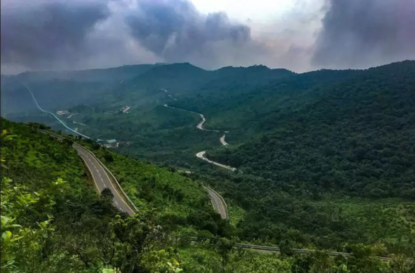
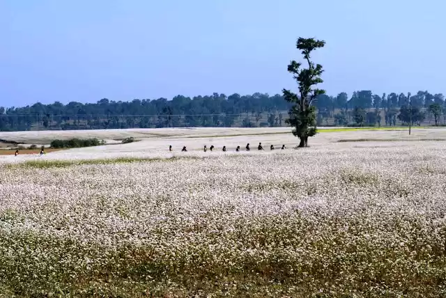
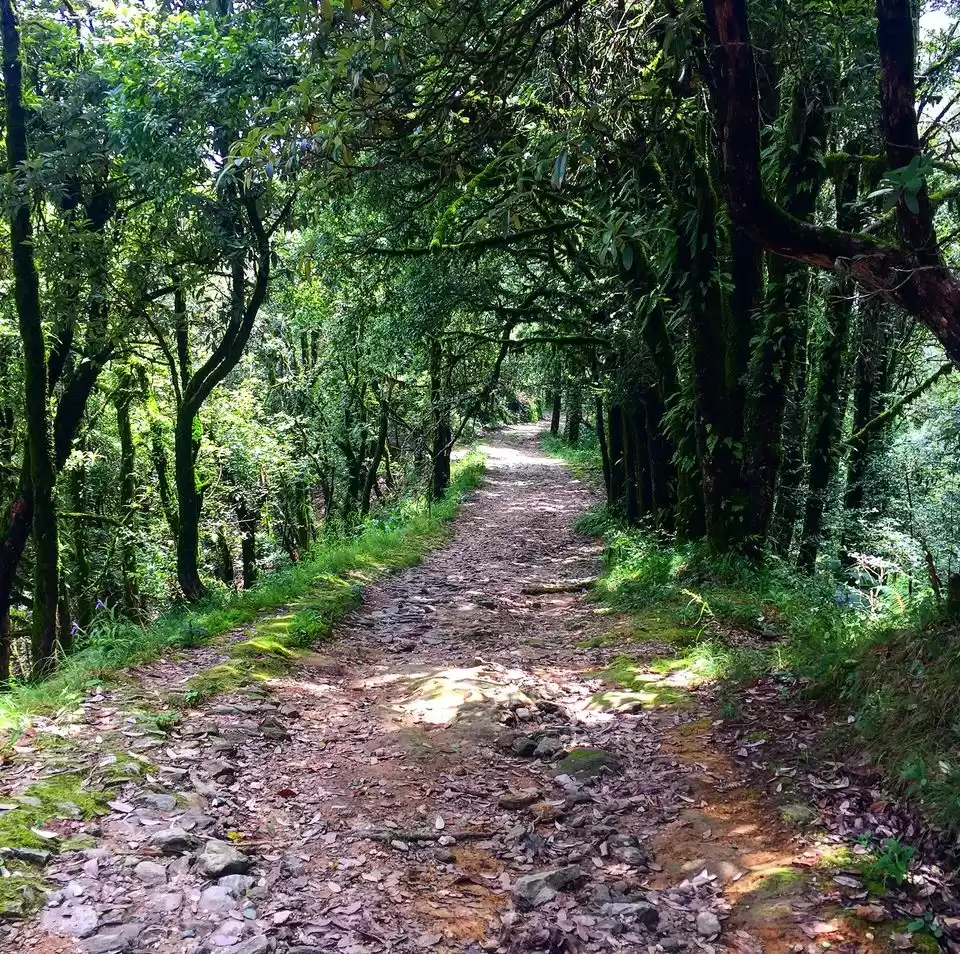
Located in Central India, near the famous Amarkantak-Achanakmar Wildlife reserves, the Chhattisgarh forest trek is an eye balm to all the explorers in search of diversity, newness and obviously the ‘one big silence.’ With giant Sal plantations, numerous on-the-way and off-track water streams, many local indigenous tribes, the trek is believed to be one of the best alternative to the Himalayan treks.
Here’s all you need to know about it.
1: Location, how-to-reach, and brief route map.
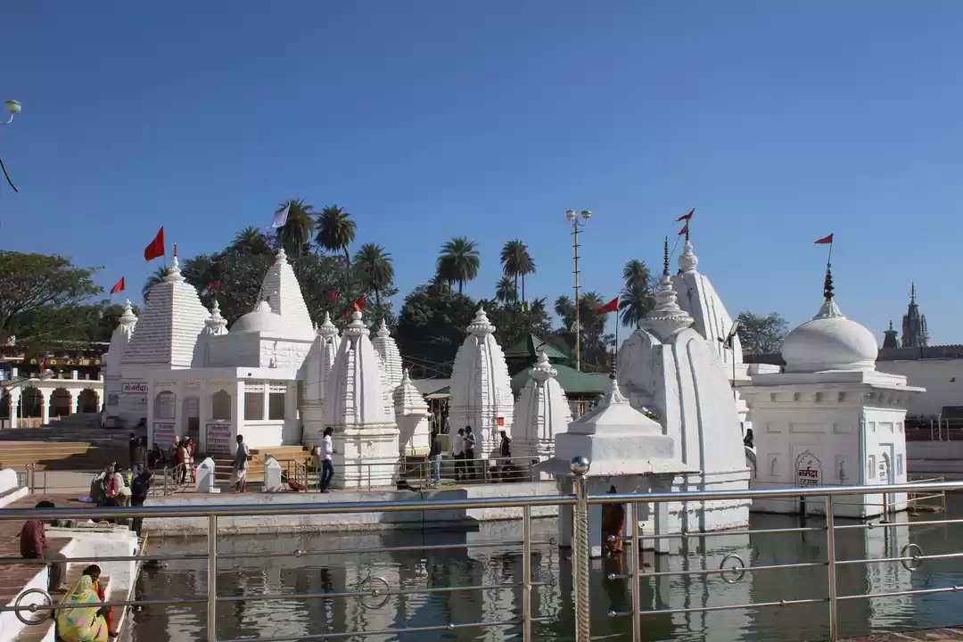
Located in the Satpura range near Amarkantak, Chhattisgarh; the trek begins where the river Narmada originates and finishes off at the Lakshman Dhara Waterfall.
How to reach?
By Train:
The nearest railway junction is the Pendra Railway Station(PND) in Bilaspur district, Chhattisgarh.
One can easily find a direct or indirect train from Delhi, Mumbai, Kolkata, Bengaluru. Indirect trains are either via Bilaspur or Raipur.
By Air:
The nearest airport is the Raipur airport, about 250 km away from Pendra Road Railway Station. One can find many local trains from Raipur to PND further. Moreover, one can also reach via Jabalpur airport which is 204 km away and further regular jeeps, buses, and cabs are available from Jabalpur to PND.
For the return journey, there are night trains from PND to Kolkata and Delhi. Alternatively, one can even take the night train to Raipur and fly out the next morning.
Brief Route Map:
Day 1: Pendra Railway station (PND) to Rajmergarh
It takes over 1-2 hrs to reach Rajmergarh from PND. It serves as the basecamp for the trek.
Day 2: Rajmergarh to Chutkirevar
The trek begins from the high plateau of Rajmergarh to the jungle village of Chutkirevar. With approximately 15 km distance, it takes over 7-8 hours to complete it. The entire trek route is covered by the lustrous Sal plantations going through the villages and forests of Amanala to Chutkirevar. En route, there are several freshwater streams which can be used for drinking purposes.
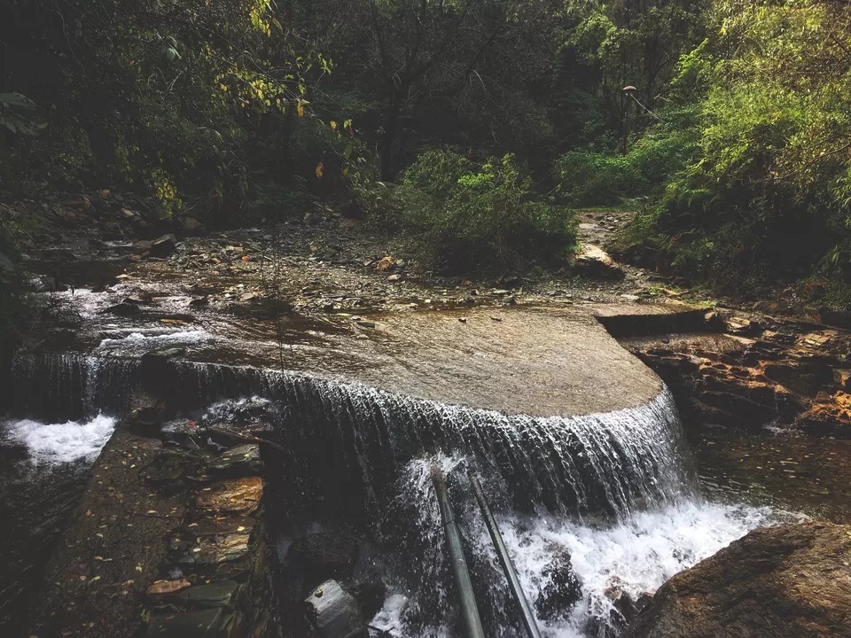
Day 3: Chutkirevar to Keonchi
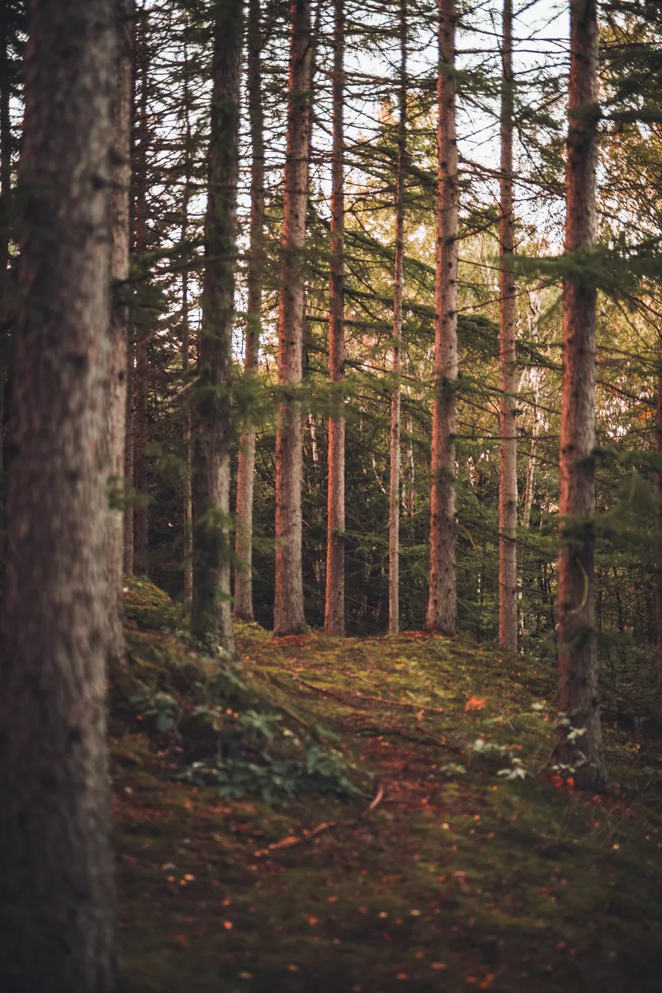
This path is covered in forests and is mostly flat with gradual descents. Over 8 km distance, it takes typically around 4-5 hrs to cover this stretch. This trail was once used by the locals to commute who now move through the recently developed asphalt road. The trail path goes through the village of Amadobe finally reaching Keonchi.
Day 4: Keonchi to Musiyari
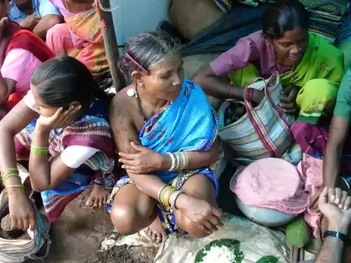
The fourth day of the trek will put you across from paddy fields into the deep jungles. The path is around 12-13 km and it takes almost 5-6 hrs to cross it, given the terrain and occasional diversions. Chances are that you come across local tribes(Adivasis) of basthi named Auretiayi on the route. Further moving, the jungles of Patia Dongri awaits you which will eventually lead you to the realms of Musiyari.
Day 5: Musiyari to Daihanpara
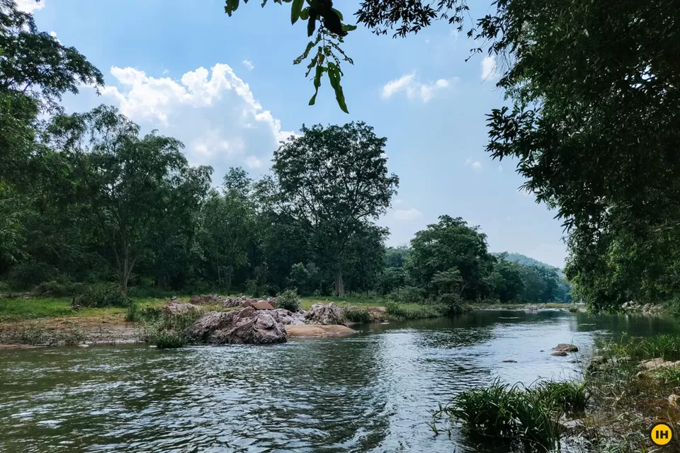
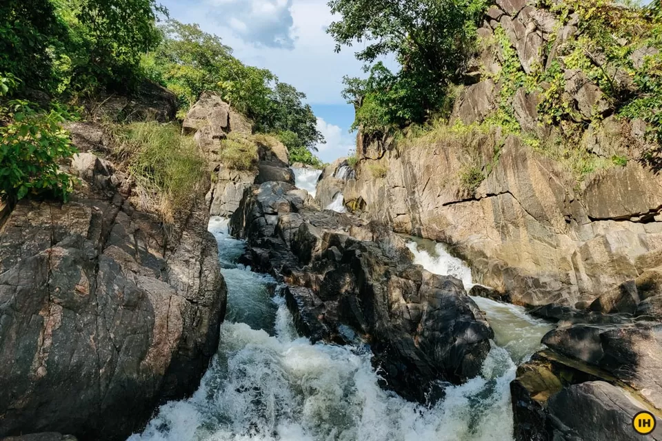
The final day brings forth much excitement as it comes with surprises full of fresh water streams, deep forests, rocky river beds and a lot more! With approximately 12 km distance, the path is mostly flat and have both jungles and villages throughout. The trail goes via Bhanwartonk village going towards the Arpa river where one can enjoy the gentle touch and aura of the river shore. Heading further, one would come across the Lakshman Dhara Waterfalls which would be huge relief and eye candy for the day.
Encapsulating the trek, walk through the villages of Daihanpara, and move forward to the main road of Tenga Dia to end the trek.
2: Safety concerns
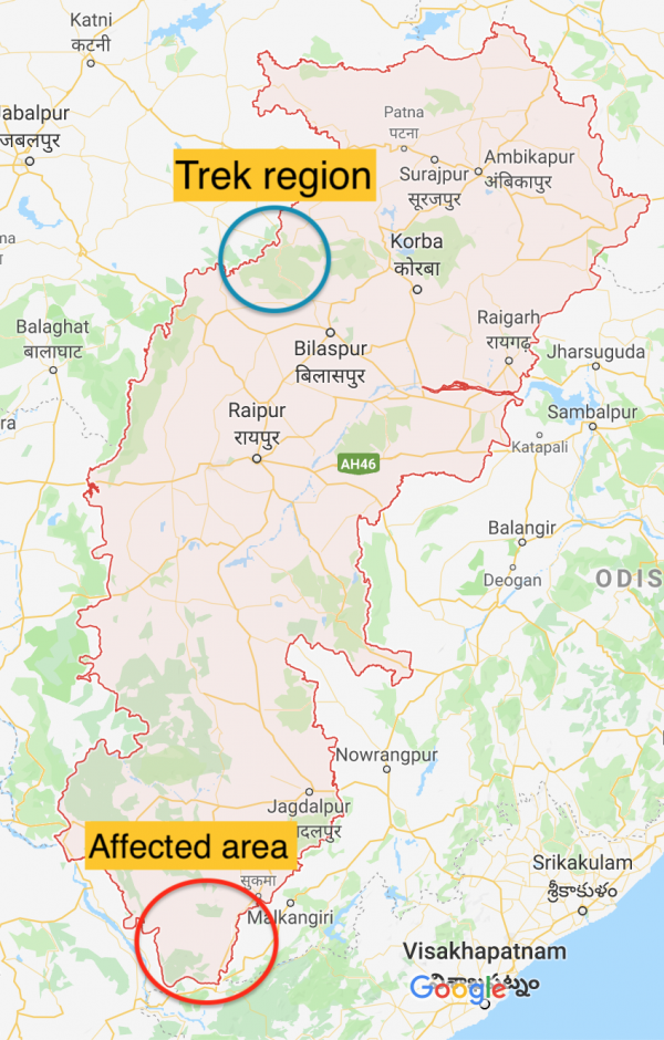
Given the much infamous protests and political unrest of Naxalites in Chhattisgarh, there have been many speculation regarding the safety and related. Curated by the Tourism Dept. of Chhattisgarh in association with India Hikes, this trek is absolutely safe and has no traces of such activities in any proximity.
To make it clearer, there are no traces of any such activity within the 500 km radius, at all. The trek is in the N-W border of Chhattisgarh whereas the Naxal affected areas lie in the extreme down S-E corner.
4: Essentials and the best time to visit
The best time to go on the trek would be during Winters, i.e from October to March. This could be one of the best alternative(or even better) to many Himalayan treks.
But before going there are some essentials that you should keep a check on:
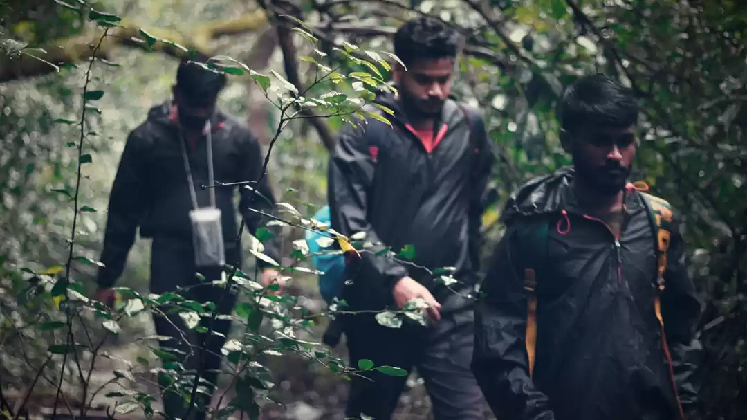
1: It’s going to be winters, and the temperature may drop to even -5 to-7 degrees during the night. Ensure you take at least five layers of warmers and other required trekking mandatories.
2: Original (and photocopy) of government photo identity card- (driving license, voters ID, etc.) .
3: It is mandatory for trekkers to carry a copy of their photo id for entry at forest check posts on the trek. And mind you, forests do not have copy machines!
Ready to pack your bags for your next adventure? Don't miss out on these amazing and breathtaking Youtube captures by the Tripoto community to feed your travel buds a bit. Also, check out these exciting itineraries to help you plan your next weekend plan.
You may also like to read: malhar chattisgarh

