Bidar Tourism and Travel Guide
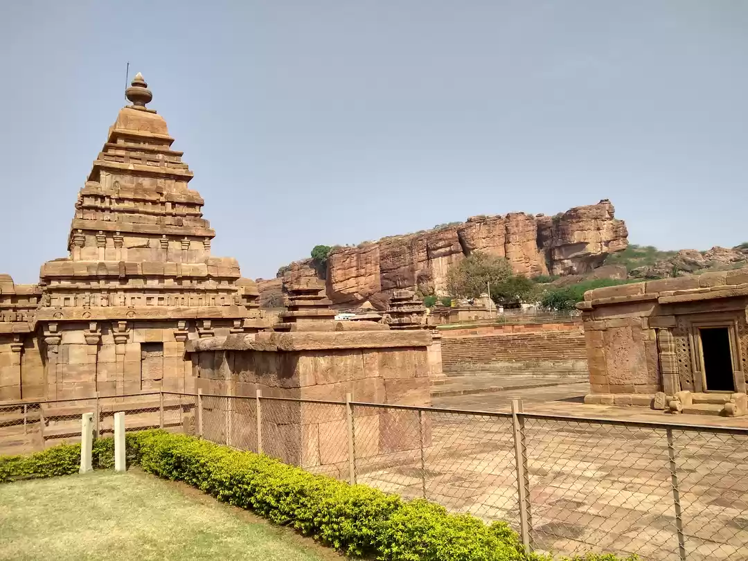
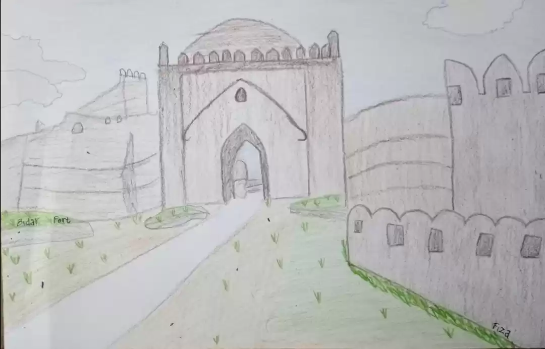
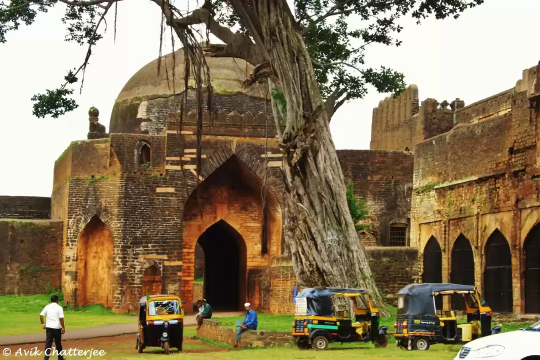
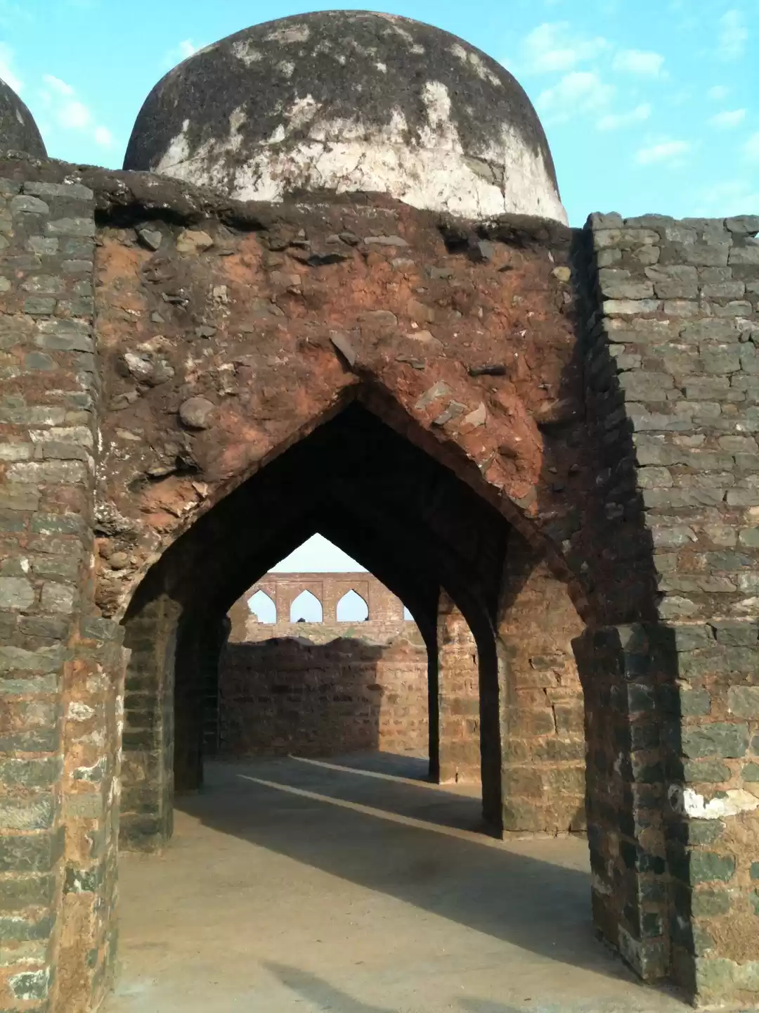
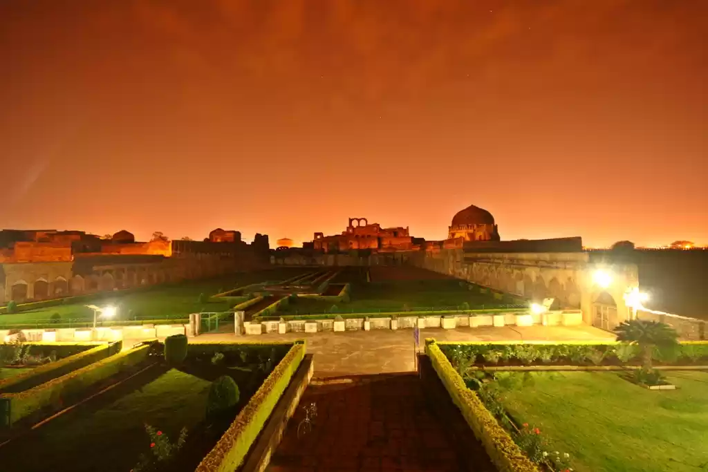
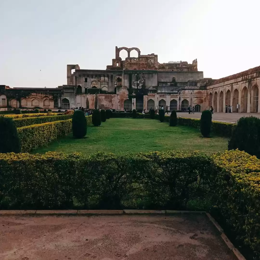
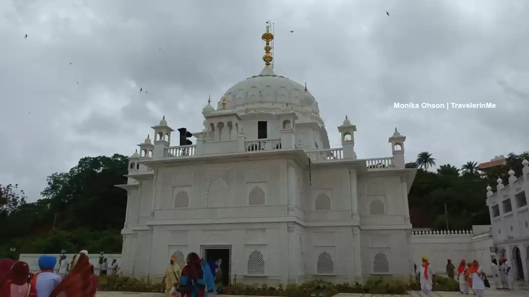
Bidar is a hill-top city situated on the deccan plateau, in the north-eastern part of Karnataka state in India. It is the headquarters of the Bidar District which shares its border with Maharashtra and Telangana. It is a rapidly urbanizing city which comes under Bidar Metropolitan area. The city is well known for its many places of architectural, historical and religious importance.Being located at the farthest of around 700 km (430 mi) from the state capital Bengaluru, it has been neglected by the state government for a long time. However, owing to its rich heritage, the city has a prominent place in the Archaeological Map of India. Picturesquely perched on the Deccan plateau, the Bidar fort is more than 500 years old and still standing strong. According to the book 'Bidar Heritage' published by the state Department of Archaeology, Museums and Heritage, of the 61 monuments listed by the department, about 30 are tombs located in and around Bidar city. This explains the nickname - The City of Whispering Monuments. The heritage sites in and around Bidar have become the major attraction for film shooting in recent years with Bollywood making visits apart from kannada film industryBidar is home for the second biggest Indian Air Force training centre in the country. The IAF Station Bidar is used for advanced jet training of prospective fighter pilots on BAe Hawk aircraft.Bidar city is known for its Bidri handicraft products, and its rich history. Bidar is also considered one of the holiest place for Sikh pilgrimage. Unlike other places in the region, Bidar is the coldest and wettest place in north Karnataka. For the year 2009-10, Bidar was ranked 22nd among the cleanest cities in India, and 5th cleanest in Karnataka. SH4 passes through Bidar and the whole city is integrated with 4 lane road.Ancient Karez System in the city have been recently discovered. The Karez (Qanat) is an underground network of aqueducts for water supply. The Bidar Karez, built in the 15th century, is more than 3 km (1.9 mi) long with 21 air vents. Underground canals, built to connect underground water streams, were meant to provide drinking water to civilian settlements and the garrison inside the Bidar fort. This was necessary in a city where the soil was rocky and drilling wells was difficult. co-ordinates represent the city limits broadly a b 'City/Town Summary'. Bidar City Municipal Council, ಬೀದರ ನಗರಸಭೆ. Retrieved 11 March 2015. Elevation of the CITY is not to be confused with that of TALUKA, which averages to 664m (2178ft) Directorate of Economics and Statistics, B'luru, 2013 a b 'Bidar City Census 2011 data'. census2011.co.in. Retrieved 14 March 2015. 'Bidar fort stands the test of time'. Deccan Herald. 4 January 2010. Retrieved 5 March 2015. 'Bidar has 30 tombs of former kings'. The Hindu. 6 August 2008. Retrieved 5 March 2015. 'Holding fort at Bidar'. The Hindu. 16 September 2011. Retrieved 5 March 2015. 'Two Hawks will land in Bidar on November 12'. The Hindu. 11 November 2007. Retrieved 5 March 2015. 'India's cleanest: Where does your city stand?'. News.rediff.com. 2010-05-13. Retrieved 2013-12-19. 'Picnic spot of Barid Shahi kings discovered in Bidar'. The Hindu. 17 December 2012. Retrieved 5 March 2015.


Weekend Getaways from Bidar
Hyderabad
A fascinating blend of the Hindu and Muslim cultures, every frame of Hyderabad - the joint capital of Andhra Pradesh and Telangana, pulsates with vivid heritage. The metropolitan section of the city comprises of the hilltop Golconda, the modern city of Secunderabad and the old city of Hyde...
SightseeingHistorical PlacesCastlesMuseums
Warangal
Warangal is a land famous for its architectural feats. Though not really a tourist spot, the ancient city has multitudes of experiences to offer by way of its beautiful temples, wildlife sanctuary, a grand fort and a serene lake to satisfy the thirst of travellers. The most famous spot is...
SightseeingAncient RuinsHistorical PlacesNature
Kurnool
Located in Andhra Pradesh, Kurnool is home to some of the most sacred temples of India, including the Shrine of Srisailam, Peta Anjaneyaswami and Birla Mandir. Kurnool being a developing city, you will find spots with construction going on in full swing. Belum Caves is one such attractio...
NatureSightseeingWildlifeGardens