Fort State: In ruins
Difficulty: Medium
Endurance Level: Medium
Things to carry: Two liters of water, snacks, Trekking shoes.
Best time to visit: Any time of the year
Type: Hill Fort, 1200 meter height.
Time to Reach the top: One and half hours
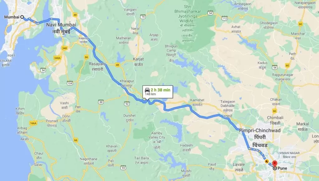
How to Reach: Vyajwadi or Kapsewadi village. Kapsewadi is 2 Km ahead of Sartale vilalge which again is 4 km right of Panchwad on Pune Satara road while Vyajwadi is around 8 km from Wai.
History: King Bhoj of Shilahar is believed to have built this fort in 12th century. Later it was ruled by Yadav, Adilshahi, Marathas, Moghals, Marathas again and lastly by Britishers.
Shri Chhatrapati Shivavij Maharaj have visited this fort when Wai region was won by Marathas. When Aurangzeb won this fort, it was renamed to Sarjagad for a brief period of time.
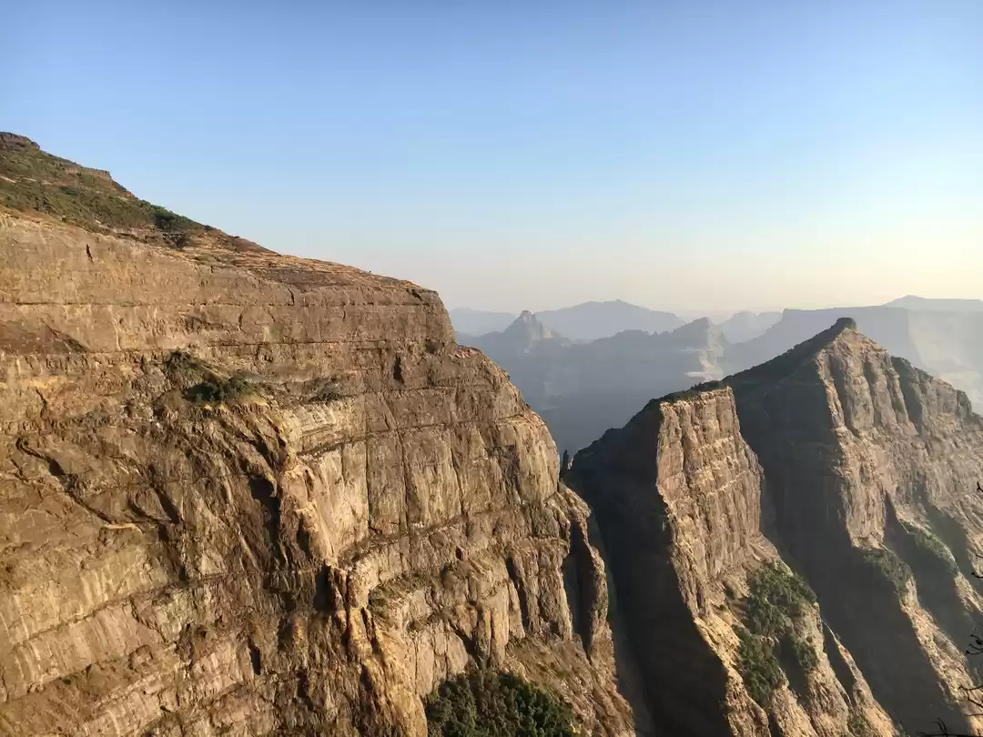
Vairatgad Fort is known as a protectorate of wai region. It is a majestic fort in Wai region of Satara. It must have been used as a protector of the region in the past. It looks tremendous from the base and hike to the top is daunting. It is necessary to carry enough water as the water on the fort is not potable.
I read lot of articles about how to reach this fort from Vyajwadi village but there was none which describes the path from Sartale, Kapsewadi village, so we decided to explore the path from this side. From Panchwad, Sartale village lies at 2 KM.

We need to take right from here towards Kapsewadi village, left turn goes to Sartale village. Going further we reach a dead end at the base of a hill from where we can clearly spot the trail to Vairatgad fort. Kapsewadi Village is not searchable on Google, search for Sartale village.

We can park vehicle here and start the ascent. We need to first reach the place between two hills. It is quite a steep trek and in rainy season it must be becoming extremely slippery. So, it is better to avoid this way and go via Vyajwadi village instead. It takes close to 20 minutes to reach the col.

From here, there is a rock patch for some distance. After crossing this, we reach a small tableland. Then starts the path through a dense forest.

Once we reach close to the fort, we need to take right turn. 10 minutes of walk from here takes us to the water tanks. These are carved out in the rock, though it had water, it was not clean. There are around six such water tanks.

As we move ahead, we reach a point where the path coming from Vyajwadi village also meets. We can clearly see the Vyajwadi village from here. Instead of going left towards fort, if we go straight, we can see Goddess Lakshmi Mata temple. It has rock made idols and a shed on the top.

When we come up, we can also find a small cave. It is so small that only one person can go in at a time. It is close to 15 feet deep and has scattered rocks around.

There are steps to reach the top. The place where we see main gate written has no gate.

As we go mid-way, we can see the place where initial checking happens before allowing entry inside the fort. A compact place for soldier to keep guard.
When we finally reached the fort, we can observe that the surrounding of the fort is huge. It is spread in east-west direction. We took right turn and started exploring the west direction first.
First, we come to the sculpture of Lord Hanuman. It is beautifully carved and has saffron color pasted.

Beside it, there is also a temple of Lord Hanuman with similar sculpture but is more sharp.

We took blessings here and moved ahead. There are ruins of a room.

We can spot a natural lake and there are many frogs inside.

Beside it, there is a board displaying the place of arsenal but there are no remnants of it.

If we walk further, we come to a pillar which is completely in white color. It is worshiped and we saw few coconuts placed below it.

Further, there is secret path to move out. There are no steps and it is close to 10 feet deep. It is not possible to get down from here and its dangerous to do so. This path goes to Mhasave village.

Five minutes’ walk from here we reach the end on the western side of the fort. There is a inscription on the rock which is not clear to decipher.

On a clear sky day, we can see territory at a very long distance from here. We can spot rivers like Krishna and Venna. We can identify forts like Pandvagad, Kenjalgad, Raireshwar, Kamalgad and Chandan Vandan. Also, we can find peaks like Madhardev, Khambataki, Meruling, etc.

As we started going to the eastern side, we encountered a snake. I was fortunate to spot a Russell’s viper snake also called as Ghonas in Marathi. It is one of the four most venomous snakes. The snake has a habit of lying still and as I found the snake; I took my camera to click the image, but it disappeared very quickly in the bushes. This scared us a lot. We were extremely vigilant for the further exploration of the fort.

There is a board which shows a place which had rooms for high rank army personnel.

There are couple of more lakes dividing the path with plenty of water in it.


Ahead there are some idols kept near the tree. There is another lake further. This shows there was apt arrangement done for storing the water.


We reached the Vairateshwar temple on which this fort is named. It is a temple of Lord Shiva having Shivalinga inside. There is also an idol of Lord Ganesha beside it. We can also see Nandi which is made up or rock. Also, there is a rock sculpture (Veergal in Marathi) beside the gate of the temple.


Adjacent to temple, there is a pole to hold the flag. Saffron flag was flattering high.

Just ahead there is a bastion which gives panoramic view of surrounding villages. Also, we can see the fortification.

If we go to other side of temple, we can see few remnants of rooms.

There is another temple of goddess in front of the rooms.

There is also an electric pole to bring electricity on the fort and a hut is made to place the electric equipment.

This completes our exploration of the fort. It takes around two hours to view the fort completely.
You can watch the vlog below.
Leave only your footprints, Take back only pleasant memories.

