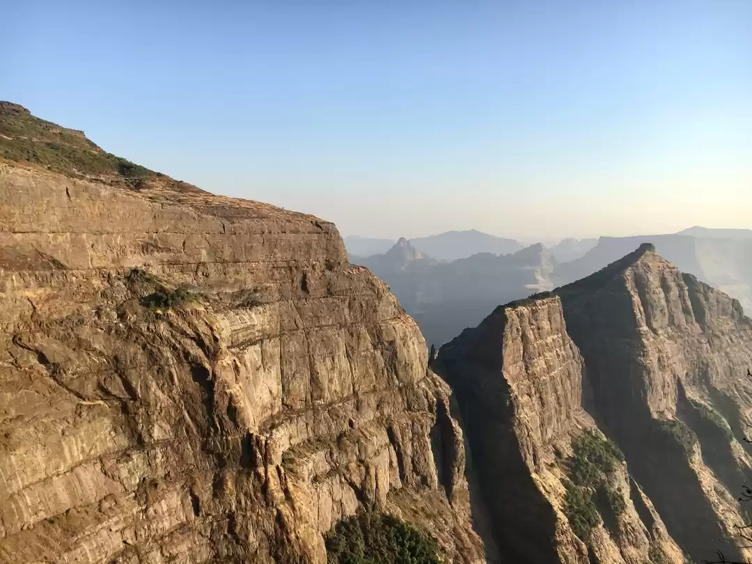
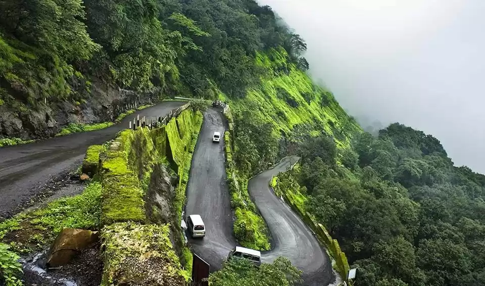
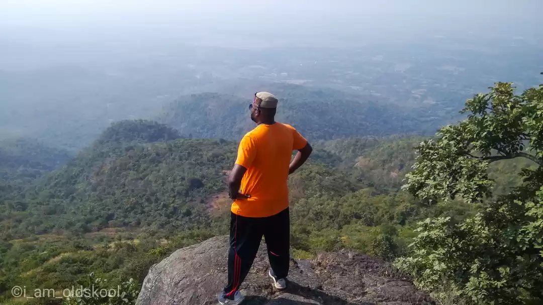
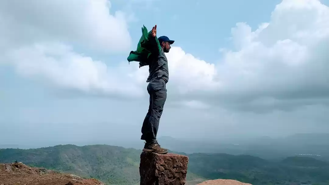
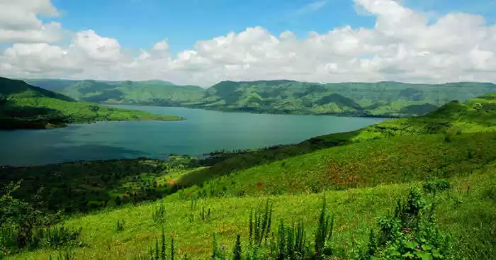
Monsoon season brings the trekking season in Maharashtra. Kohoj Fort Trek is one of the famous monsoon trek in Sahyadris. The trek is admired for its heart-shaped lake named Pazhar and the verdant vistas of the surrounding valley.

Height of Kohoj Fort: 3200 ft (980 m)
Difficulty Level: Medium
Duration: 1 Day
Trek Duration: 3-4 hours
Base Village: Vaghote (Palghar Region)
Best season to trek: Monsoon

Kohoj Fort is not much frequented by the trekkers and hence any hotel or commercial guides are not available. However, lunch might be available on prior request. It is advisable to take any of the villagers who is aware of the route, as a guide.
How to Reach Kohoj Fort (The base Village Vaghote) from Mumbai
A) By Rail: (from Mumbai)
1) Take Gujarat Express (6 am from Mumbai Central) and get down at Palghar
2) Take either a bus/ private taxi from Palghar Station till Vaghote on Manor-Wada Road
B) By Road: (From Mumbai)
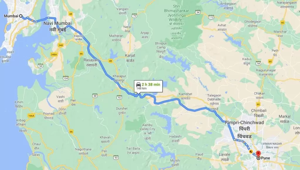
1) Drive towards Ghodbandar Road via Western Express Highway and take a turn towards the Mumbai – Ahmedabad Highway (NH8) and drive straight till Manor and then take a right turn from underneath the flyover and take up Manor-Wada Road
2) If you are driving from Thane then keep driving straight on Ghodbandar Road and go straight to Mumbai – Ahmedabad Highway (NH8) and then take a right turn from underneath the flyover at Manor and take up Manor-Wada Road

The initial trail passes through the swaying paddy fields of the villagers which then turn towards the ‘Pazhar Lake’ which is at the peak of its beauty during monsoons with the backdrop of Kohoj Fort. The lake looks like a heart-shaped water body when viewed from the top of the fort. During monsoons, the trekking trail is completely covered with grass and plants and thus the route is hardly visible. You will have to do the ‘pradakshina’ (a circle) of the whole hill to reach the fort. There is no way to reach the fort directly.
The initial gradient is moderate and isn’t much tiring. A little tough climbing starts after an hour and a half of trekking. The further route passes through a deep forest-like area with huge trees that end on a shepherd’s hill beautified with a few huts, tanks, a pond and a temple of Kohoj Devi. This isn’t the end of the climb. The fort is located at a few meters of more climb that is the topmost peak of the hill.

The fort is around 800 years old and is one of the forts surrendered to Mughals in Purandar Treaty. Though it is in a dilapidated state and hardly any proper architecture can be seen, it becomes a beautiful dance-field of grass during and post-monsoon. A steep stairway takes you to a viewpoint that can be enjoyed with a rush of cool wind during winters and monsoons. On the way up there is an idol of Lord Hanuman, guarding the periphery of the fort.

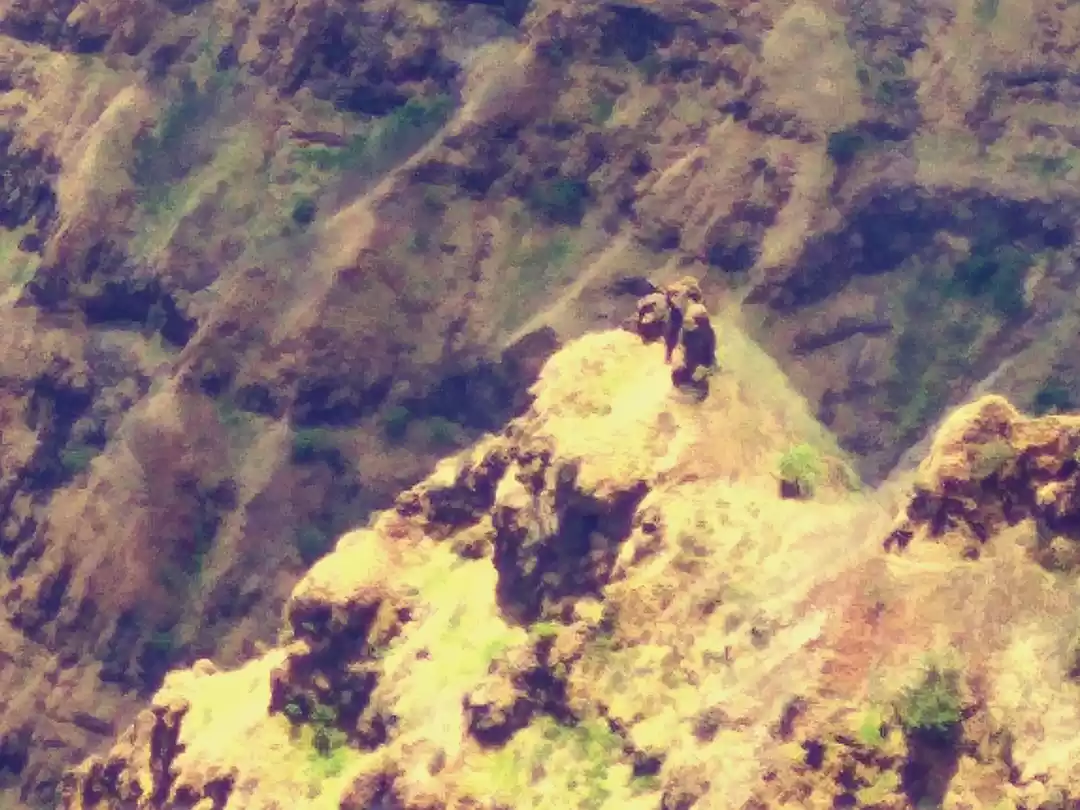
The water tanks on the fort have drinkable waters, but during monsoons, the tank becomes quite dirty and thus one has to be careful. Carry enough drinking water in order to avoid water shortage while trekking. The topmost peak of the fort is marked with a few dilapidated remains of the fort walls. The shape of the wall resembling a standing human pillar is the only point of attraction at the fort.

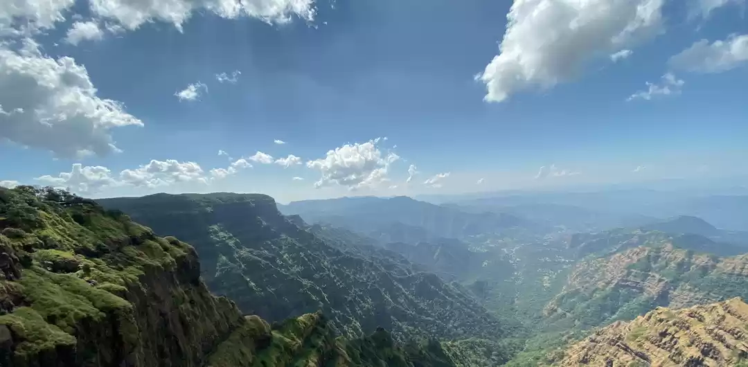
From the top one can also see the lake located a meters away from the Kohoj Devi Temple. The top view is really stunning with a river flowing on one side and acres of paddy fields on the other side.


