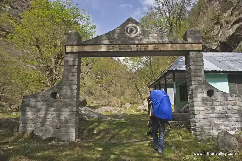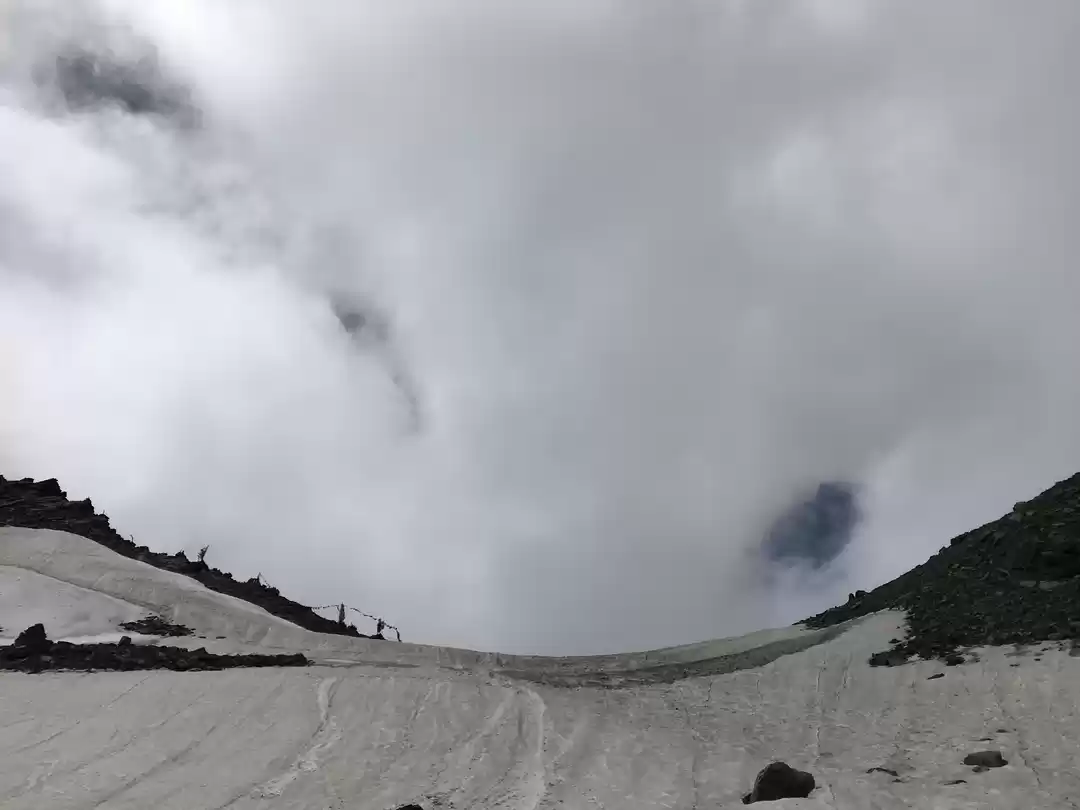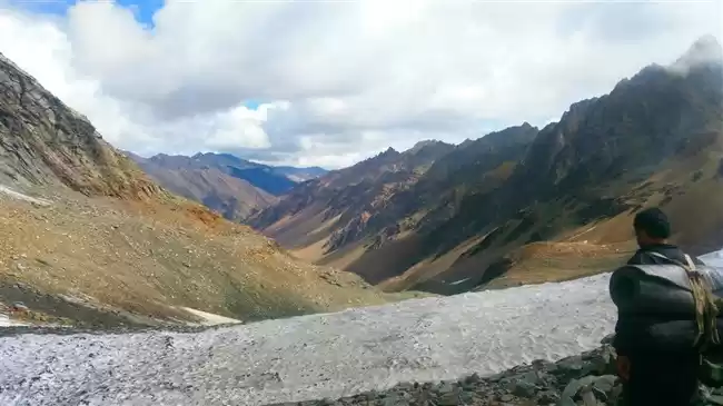
With a total area of 977 square kilometres, the Rupi Bhaba Wildlife Sanctuary is distinguished by its varying altitudes. From the banks of the Sutlej River (909 m above sea level), the forest cover rises to a height of 5,650 m, touching both the Great Himalayan National Park (5,650 m) in the west and the Pin Valley National Park (5,650 m) in the north. The northern portion of the park contains glaciers, and the forest is irrigated by a number of rivers.
The Rupi- Bhaba Wildlife Sanctuary is located in the Shrikhand mountain range of the Dhauladhar Himalayan range. The sanctuary is named after the Rupi and Bhaba Valleys of Lower Kinnaur, whose upper reaches comprise the majority of the Sanctuary’s 503-square-kilometre area.
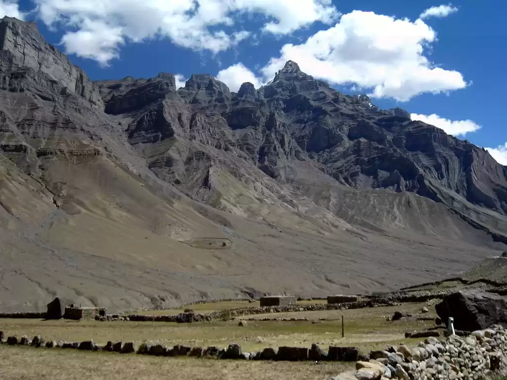
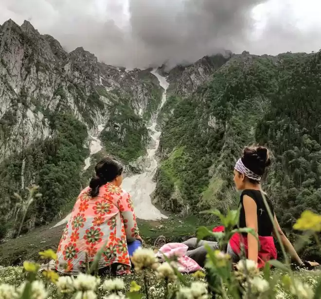
The Sanctuary is well-known for its extensive alpine pastures and the numerous treks, trails, and passes that connect it to the neighbouring Great Himalayan National Park and Pin Valley National Park, despite its elevation ranging from 2,000 to 6,000 metres.
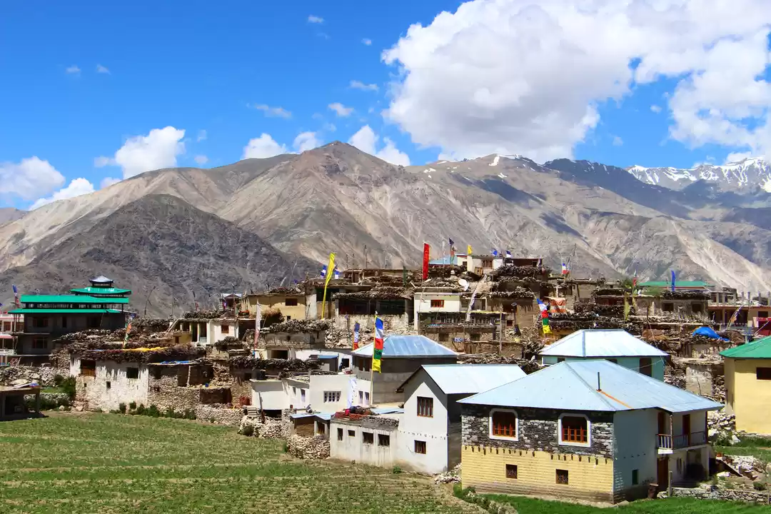
Kinnaur District’s Nichar subdivision contains Rupi-Bhaba. The closest rail and air terminal is in Shimla, and the closest town is Bhabanagar. The sanctuary is accessible from two points and is located on National Highway 22 across the Sutlej River.
One is via a winding link road near Chaura that crosses the Sutlej close to the Shorang Hydropower Project. From here, a three-hour hike leads to the heart of Rupi Valley. The second contact point is located near a town called Wangtu (on NH-22 itself). One must cross the Wangtu Bridge over the Sutlej and travel to Kafnu, from which point a light hike will lead one up the Bhaba Valley.


