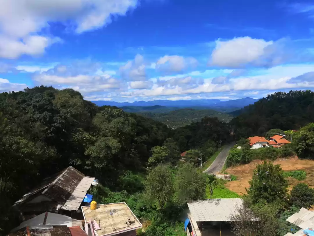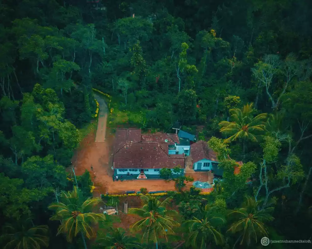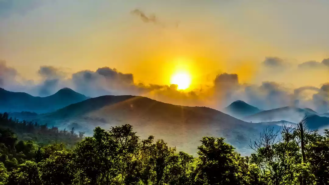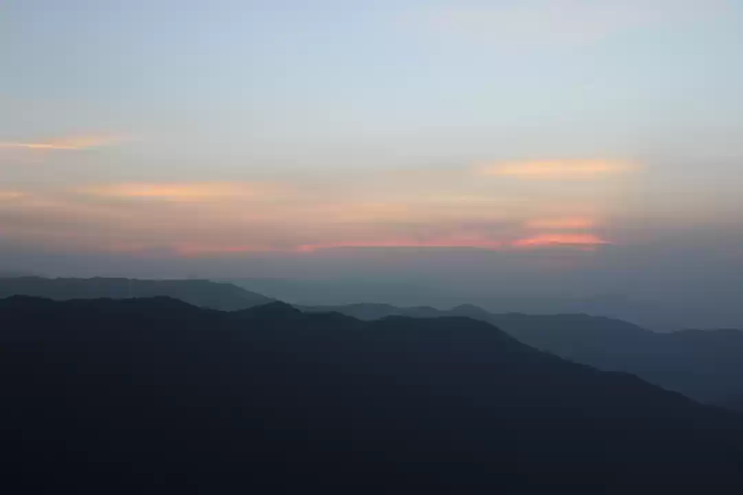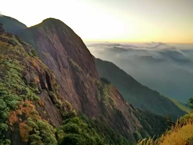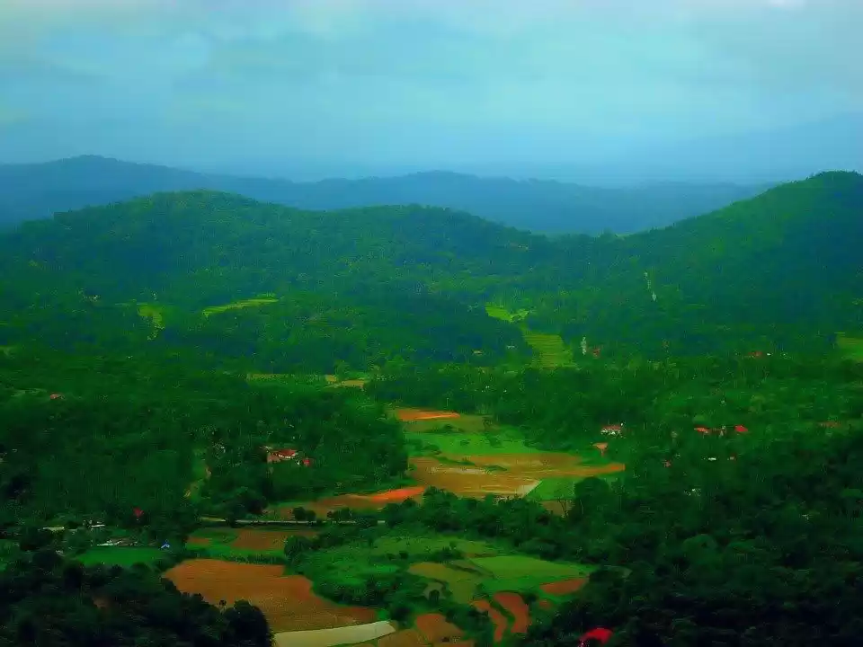
Tadiandamol being the highest in Kodagu region is considered as the 'Second Tallest peak of Karnataka' at an elevation of 1,748m above sea level & at an altitude of 5735ft which takes a drive of 264 kms from Bangalore.
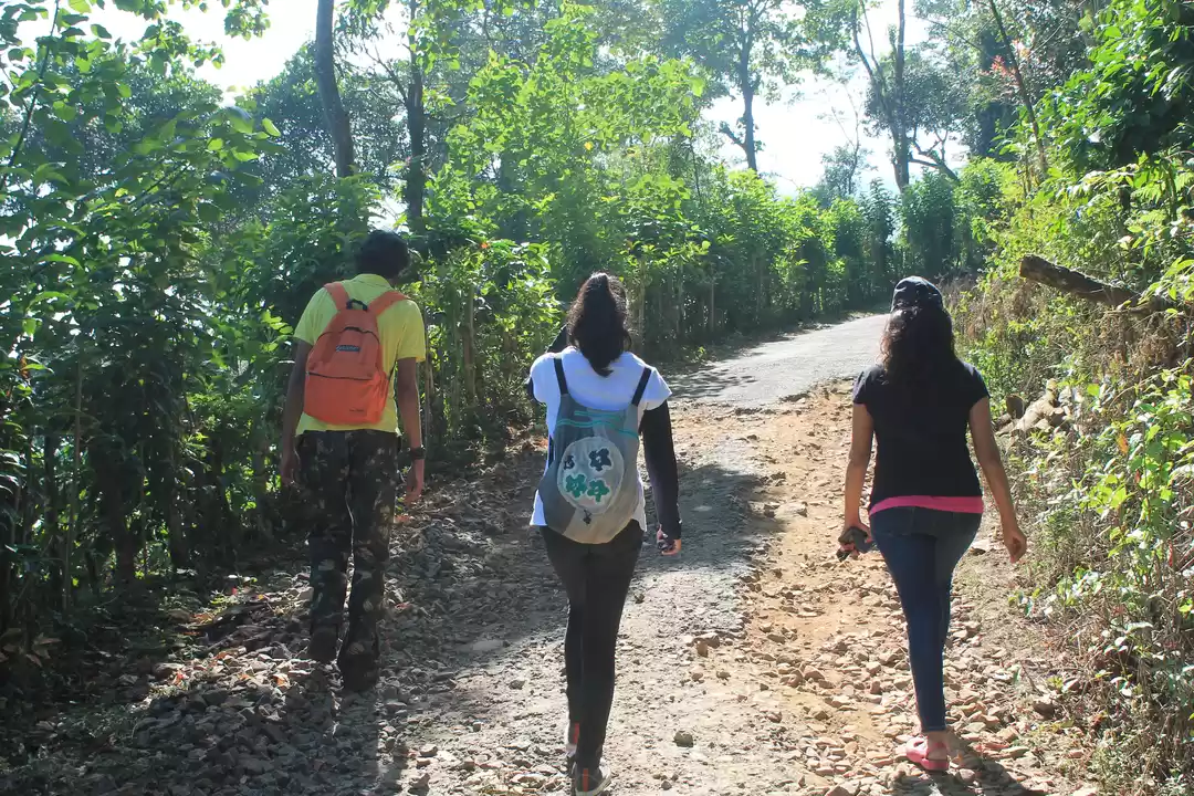
Initial path takes through curvy & uphill roads for a distance of 2km from the palace which leads to Forest Check Post covering a small stream.
Right from the check post trial continues with mud roads, a narrow ascent for about 2 kms covering the next stretch ‘Huge Boulder’ which consist a flatter surface on the ground & serves the best for camping & a 5min descent from the boulder leads to the flow of river kabini which serves as a water source.
After a brief rest the next level of climbing gradually increases taking through vast expanse of Shola Forests.
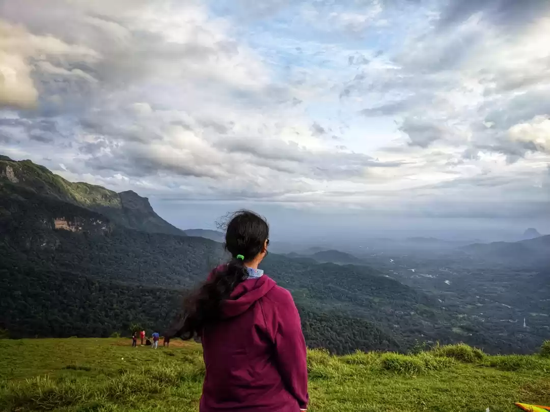
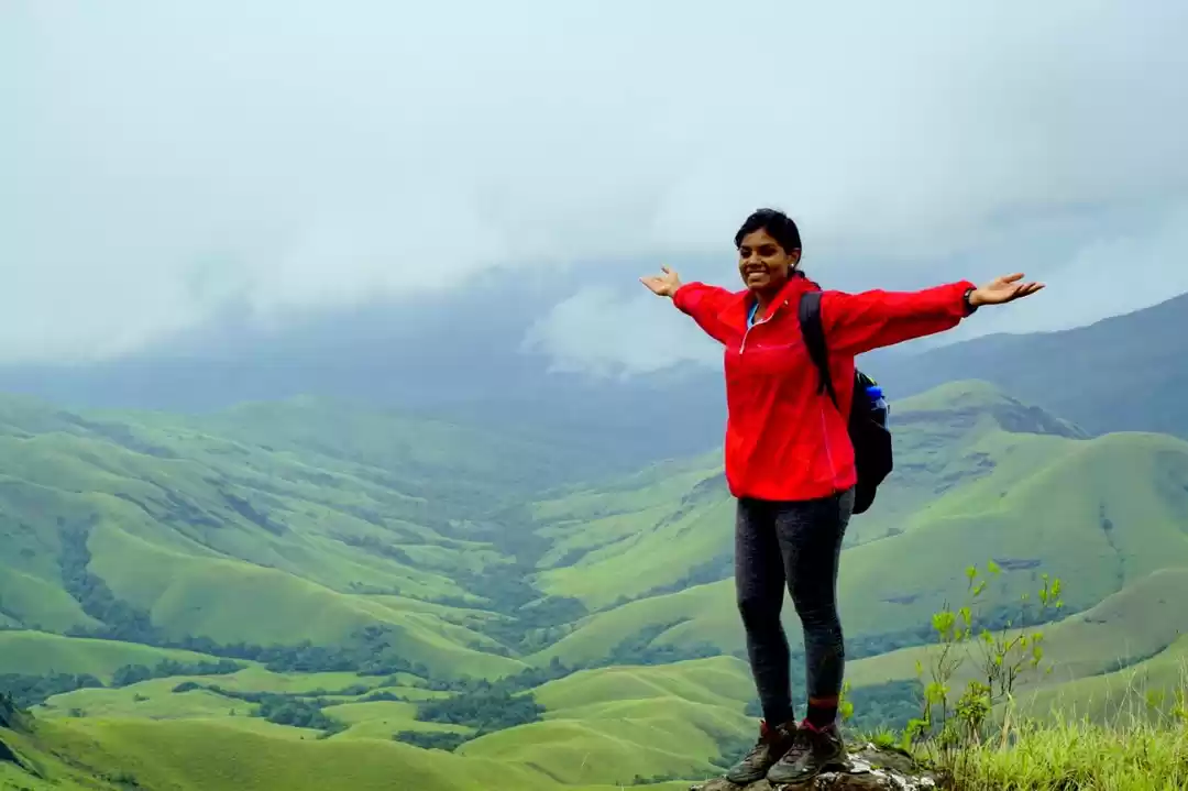
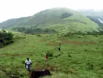
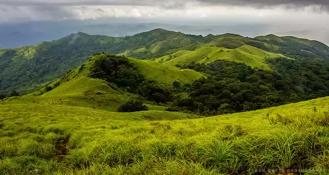
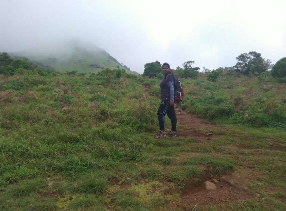
The final stretch ends up climbing a lush grassland meadow, a misty valley heading towards the peak with blooming flowers.
One can descent back to the base camp using the same travelled path.
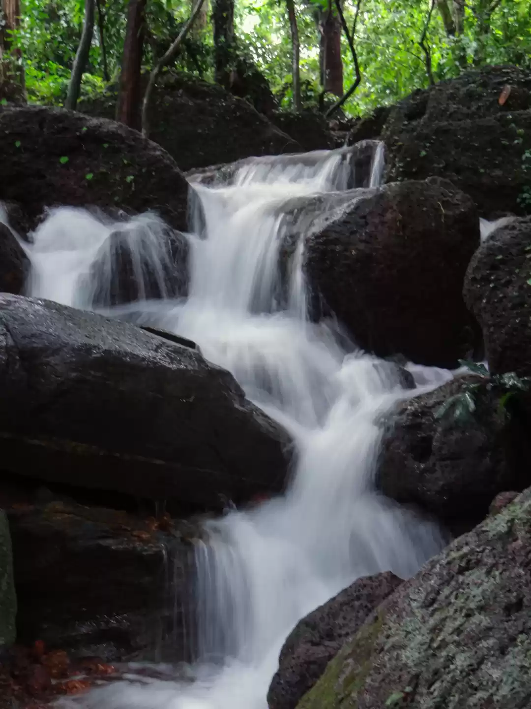
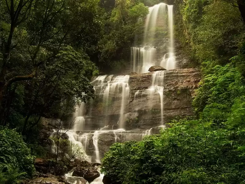
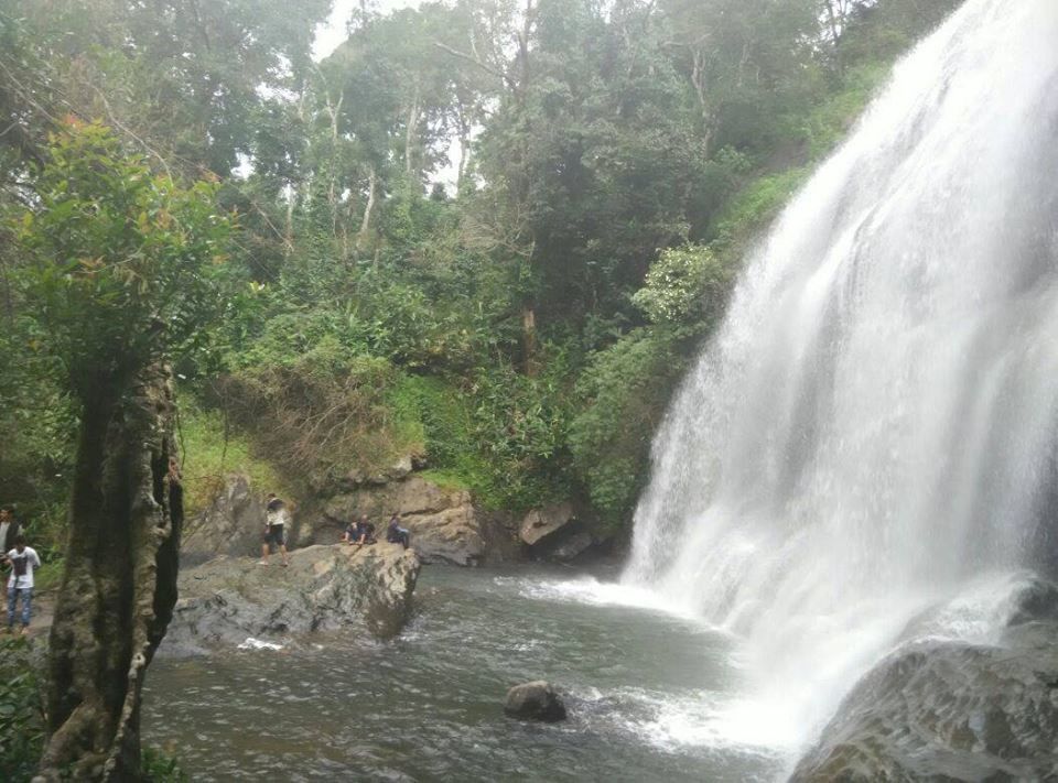
Chelarava Falls in Virajpet is a natural waterfall formed by a small stream which is at a distance of 18 - 20 kms from tadiandamol for a better refershment.
Trekking route is quite clear providing the perfect gateway for enthusiastic trekkers & one of the best trials for beginners.
By
Bhavani Ashwath Narayan
copyright(c)2015 All rights reserved


