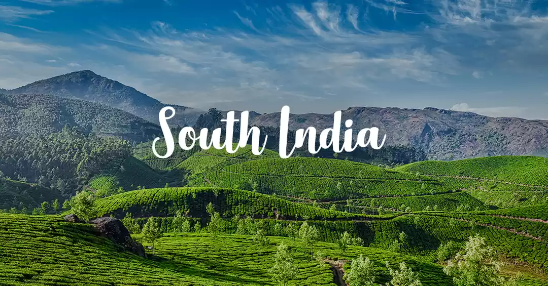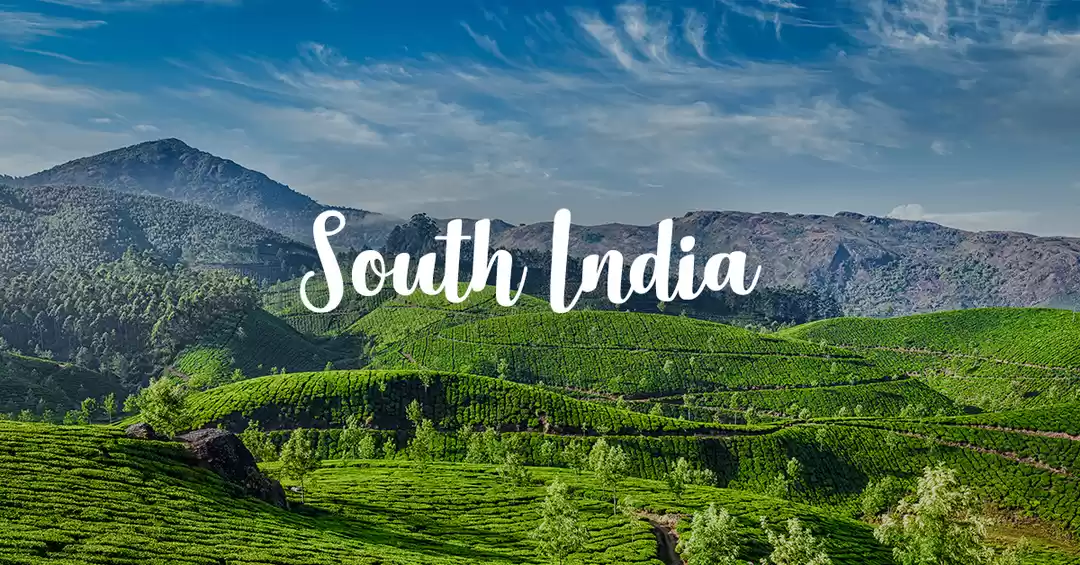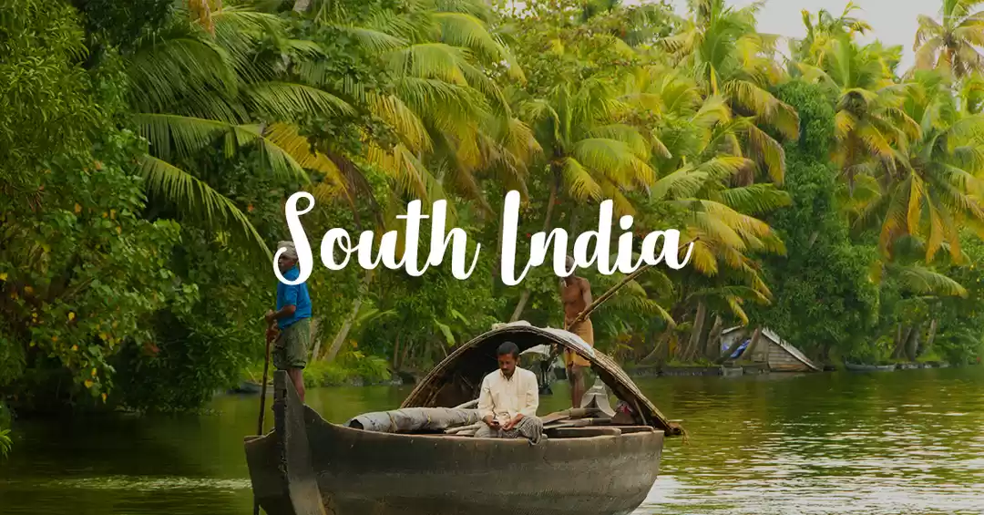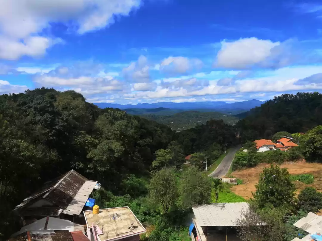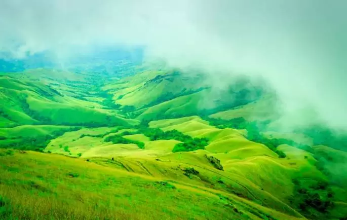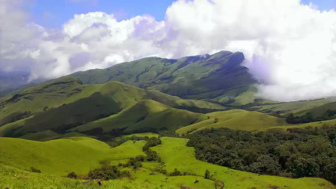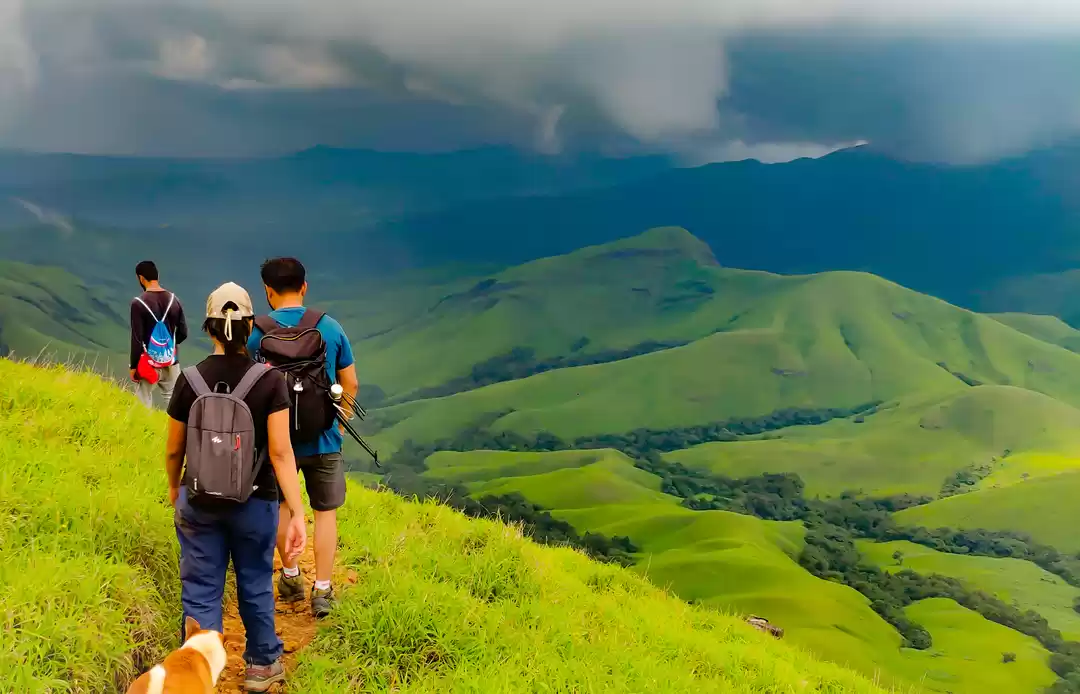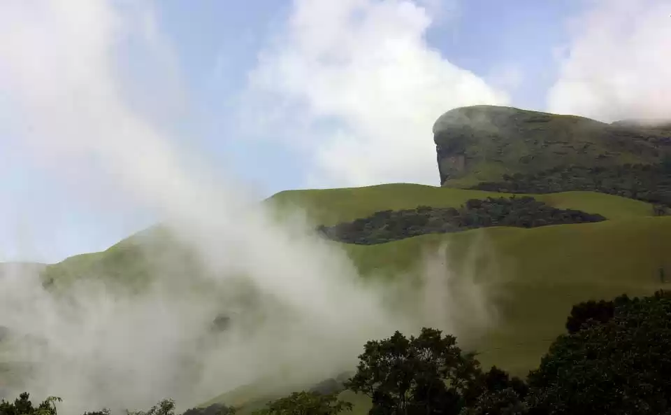
Rolling green hills, clouds kissing the mountains, forest trails, bamboo shrubs and a dozen waterfalls, the Kudremukh Peak trek has it all; No wonder it is called the Himalayas of the south. The scenery keeps changing on the trek and will surely amaze anyone. Kudremukh is not the highest peak of Karnataka, but it is the third highest (6207 ft) and hence a good trek, it is known for the variety of scenery it offers.
Kudremukh, which literally means Horse’s Face, was on my list for quite some time and I decided to tick that off the list this year. The reason I chose Kudremukh Trek was I wanted to experience the Western Ghats, the clouds passing over the rolling green hills was a sight I wanted to see for real. Also, it was really hot and humid in Mumbai, so Kudremukh Trek seemed like the best option.
Reaching Base Village/ HomeStay:
Kudremukh peak is in the Kudremukh National park which comes in the Chikmagalur district of Karnataka. The nearest airport is Mangalore but I got a good deal for Bangalore flight tickets and as I was planning solo, I thought it would be better to go via Bangalore. The base village for Kudremukh Trek is Mullodi, which is a remote village hence there is no direct connectivity. There are KSRTC buses to Hornadu from Bangalore bus stop; one can stop at Kalasa (you may need to request the driver to drop at the square before Kalasa). From there another vehicle or SUV to reach Kudremukh forest check post. There are many homestays around. Some homestays also arrange transport from Kalasa.
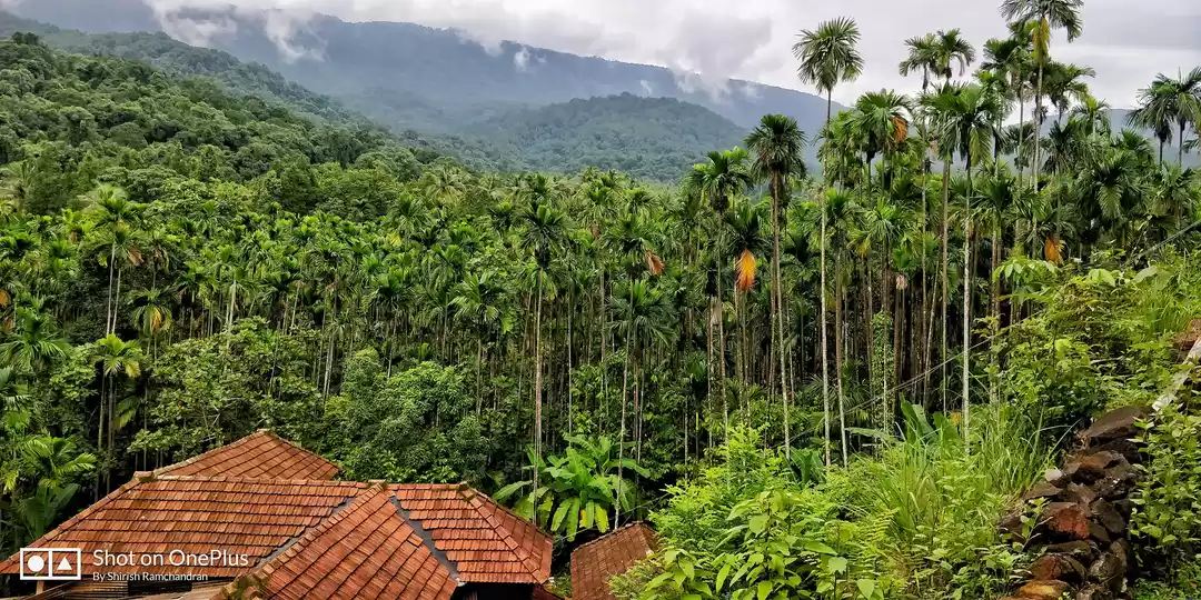
I had done my entire research and was planning to follow the same route and connect with a local person at Kalasa or any homestay. But social media is amazing, and I met Jatin from Plan the Unplanned who joined me for the trek and he has been an amazing trek lead and trek mate. We took a non-stop bus to Hassan and then another bus to Chikmagalur. From Chikmagalur to Kudremukh we went on a bike. The distance is around 95 to 97 km. It was an awesome experience on the bike, surrounded by trees, lush green patches, bamboos, jackfruit trees and coffee estates. Clouds and hills accompanied us as well. We crossed Kalasa, Kalasa main road is very cute. It seemed like a lovely quaint town. After Kalasa, we had planned a stop at a waterfall near Coffee Gudda. The area is also called Coffee Gudda, named on a famous homestay.
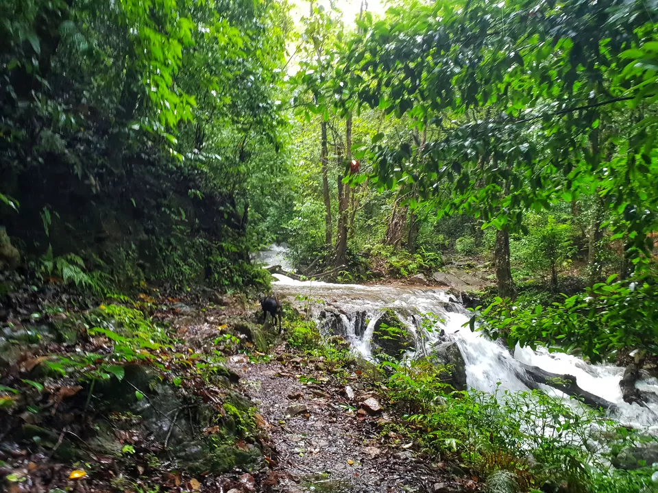
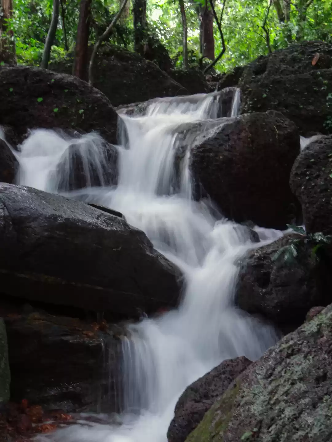
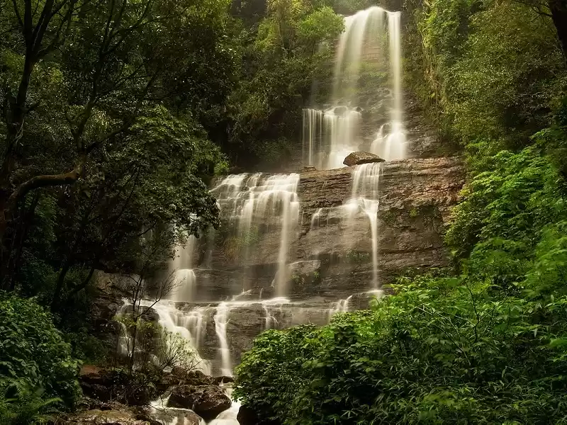
The waterfall is called Elneeru. Elneeru means Sweet coconut, it is said that water is as sweet or tastes similar to coconut water. The ride to Elneeru is through muddy roads and one can drive till the motorable area. Then one has to descend down a little to reach the waterfall. On the way, came across another beautiful waterfall, it looked like a wallpaper. I was overwhelmed by that waterfall itself. Jatin had to tell me that this isn’t our final destination. :)
After further descend and a then little hike, one can hear the sound of falls in full flow and birds chirping. In some time the Elniru falls become visible. It is a huge waterfall full of energy, feeling the water on your face was a bliss. I even tasted the water, it actually tastes sweet !
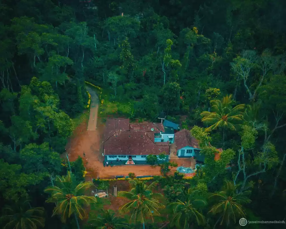
After a rejuvenating break at Elniru falls, moved towards our Homestay- Bella Homestays. Bella Homestays is a beautiful cosy home away from home. It is a traditional style cottage with amazing views, surrounded by trees. The upper deck or aangan is a beautiful place for chai and the food tasted even better in such a setting. The sounds of nature are always there with you – birds chirping, crickets and the raindrops. Post some delicious home cooked food, we hit the bed as we had a long day the next day.
The Trek day:
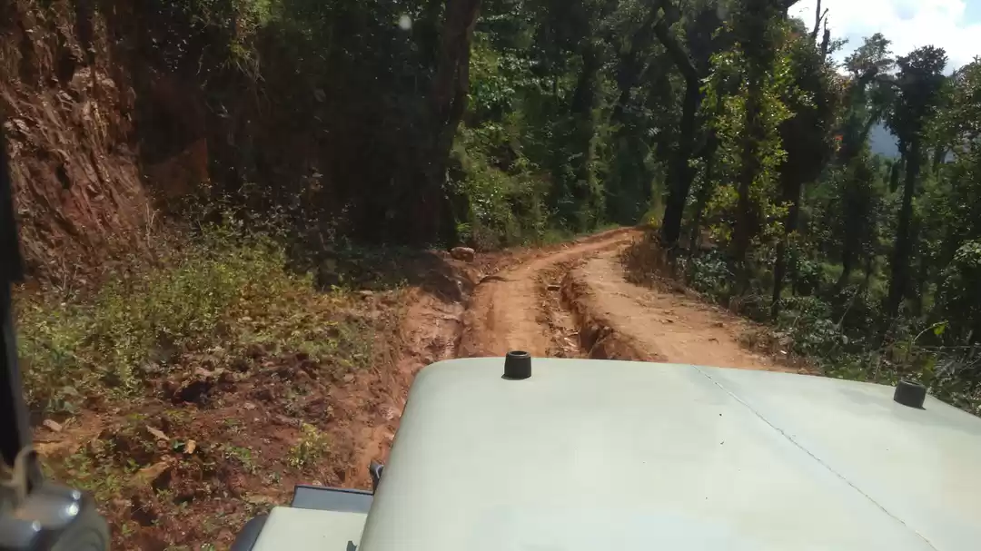
One has to start early in order to be back at the homestay on time. The forest department also advises being back before 6 at least. As we were trekking on a weekday, we had the leverage to start the trek a little late. It was a rainy night and morning, so was difficult for me to get up. ???? We had chai on the deck, got ready and packed my daypack. Had some tasty Idli and Sambhar for breakfast followed by filter coffee. We started for the base village Mullodi in a jeep. The distance is approximately 6 km to the Forest department office, from where the trek actually starts. The ride is adventurous as one crosses coffee plantations, muddy roads with waterfalls and streams as well on the way. The forest department office is a small structure where one needs to take permission and a guide. After all required permissions we started the trek, with a guide and a dog named Pandu. At the start itself, after few minutes of walking there comes a stream crossing. As it was raining heavily and continuously the flow and depth of the stream was heavy.
After the stream crossing, there is a slight ascent on a muddy path surrounded by ferns, several shrubs and lush green grass. This continues for around 1 to 1.5 km and then there comes an elevated plain and a stand-alone tree which is called Ontimara.
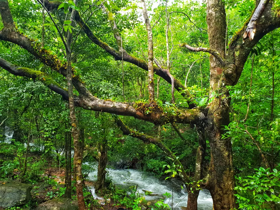
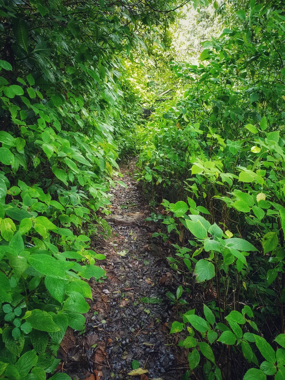
On the left on Ontimara, the trail becomes flat for some time, on the right one can see the Kudremukh valley and Somavati river flowing below. The trail soon converts into a forest trail- dark shola forests with water streams. There were a lot of leeches at this point, I initially thought I am saved from them, but later realized that it’s difficult to actually avoid them. Another stream crossing there are open meadows. It was an amazing feeling to trek through dense forests, with open meadows in between. The transition of scenery played kept the thrill till the end.

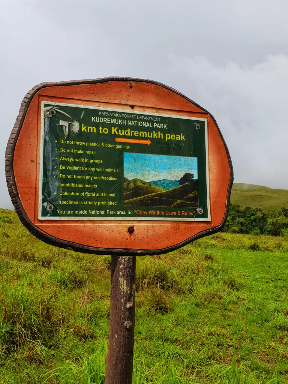
Kudremukh peak becomes visible after some point. The clouds were coming closer and nearer as if to kiss and hug you. Amidst the open meadows, after further walking, there is a board by Forest Department Office stating the direction and distance (7 km) to Kudremukh peak. After another dense patch of trees, is another stream of water, and the last water source before the peak. After stream crossing, there is a steep ascent. All of us were walking at our own pace, and I achieved what I wanted to from the trek- deep connection with nature and solitude, all this mid-way itself.
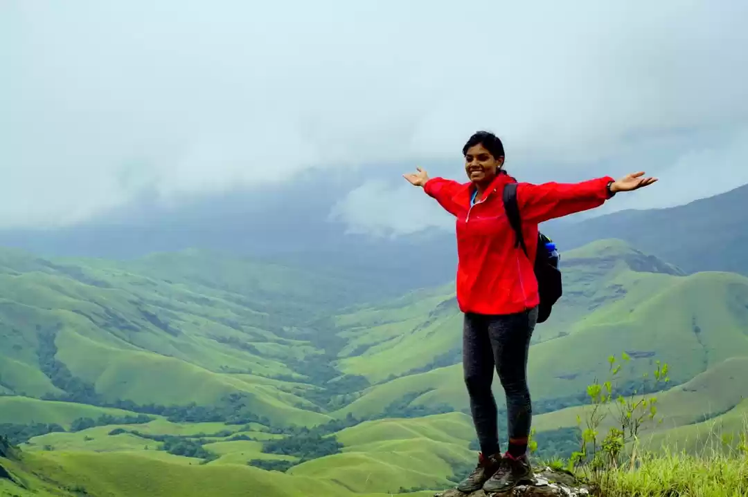
It started raining heavily at around 11 am. On the right, the view was mesmerizing, clouds passing over rolling lush green hills. Tried taking few time lapses there. After further ascend you reach the second Ontimara.
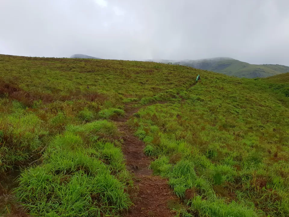
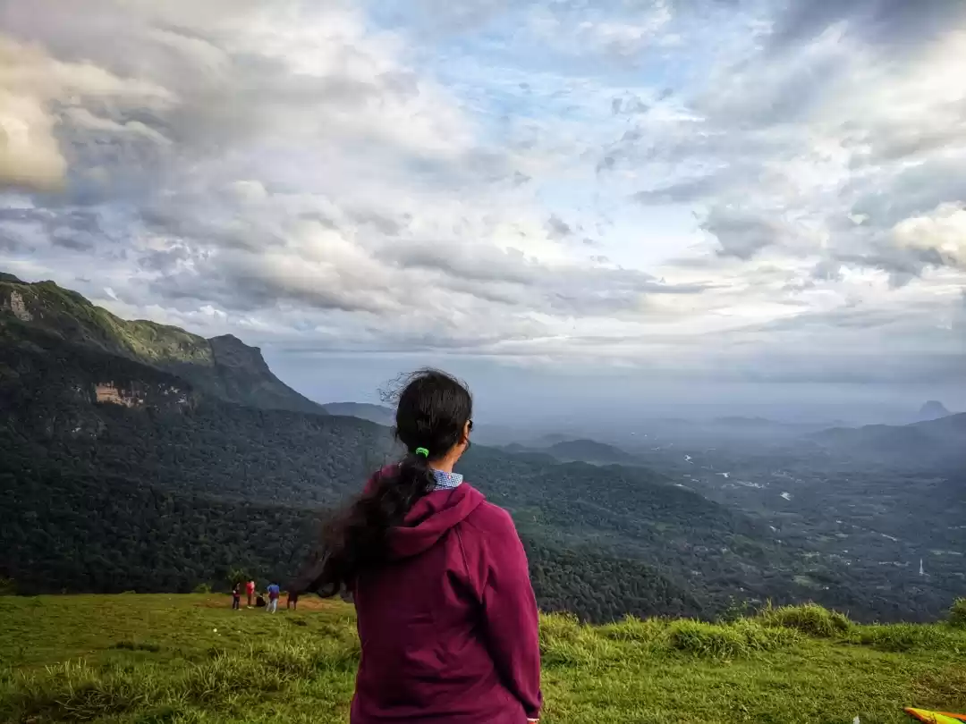
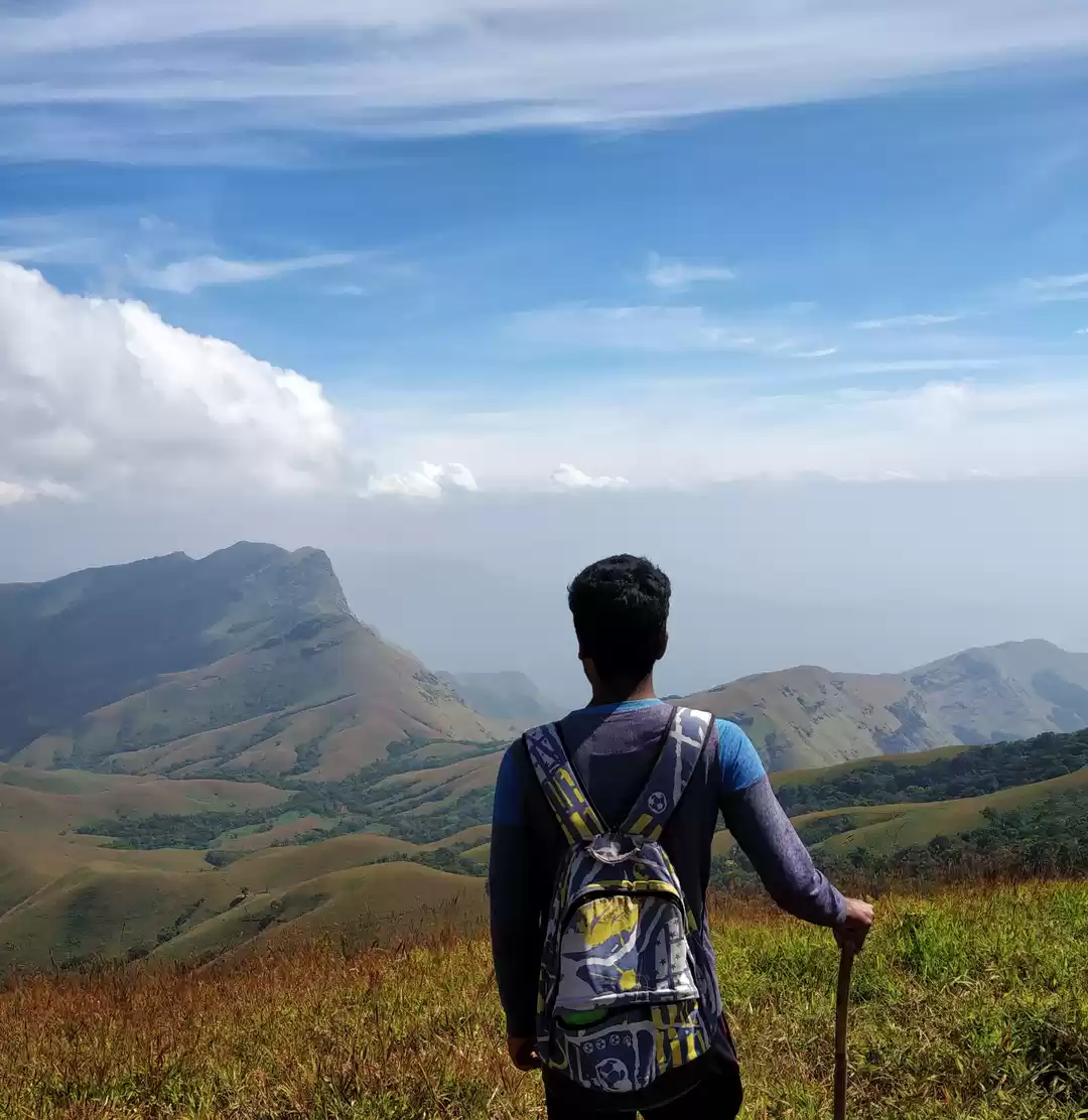
Before reaching the Ontimara, I was amazed by the Kudremukh range all around me. From the ontimara, the view on the right was enthralling- rolling green hills vibrant, full of energy passing all the energy on to us. We jumped in joy and then sat there soaking in the beauty of the moment.
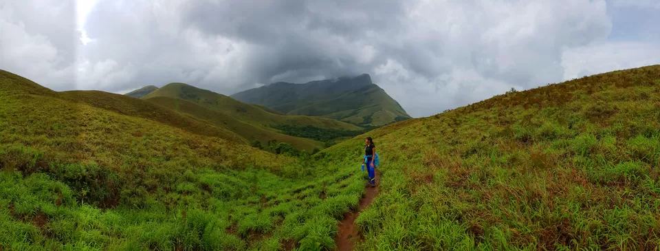


After the Ontimara, the trail is a mix of narrow paths between dense forests, bamboo shrubs and steep ascents.
The whole of Kudremukh valley opens up after some point. The guide tried to explain the structure of the peak in Kannada. He pointed at the part of the mountain which resembles the face of a horse and mentioned Kudre-mukha, and then pointed at the stomach and back of the horse and explained how the mountain resembles a horse. Language is not a barrier when both want to have a conversation. He also explained that we will climb the “horse’s back” part of the mountain and the climb is steep and zig-zag.
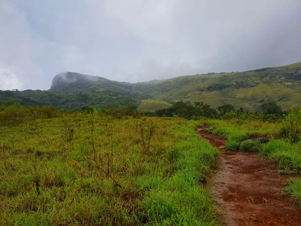
The zig-zag steep climb is difficult comparatively but the views encourage to keep going. It was raining so much, along with the winds that I felt as of the raindrops are slapping me. There were times I could not even open my eyes.
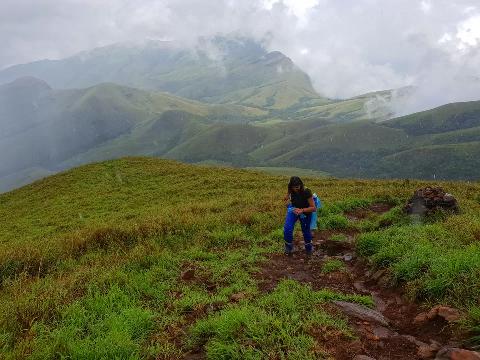


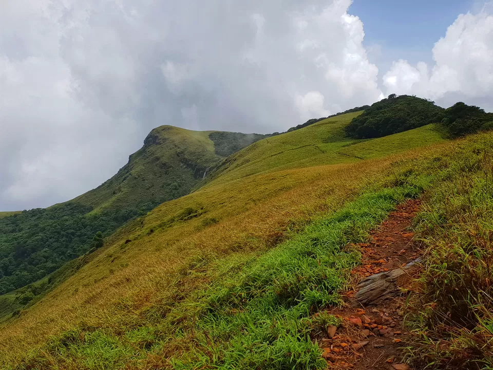
After the end of the zig-zag point, paused for some time to look and appreciate how far I have come. The rolling hills, lush green and full of life, the open meadows, the grasslands everything on the trail was just perfect, why go to Scotland when you can experience this in India itself.
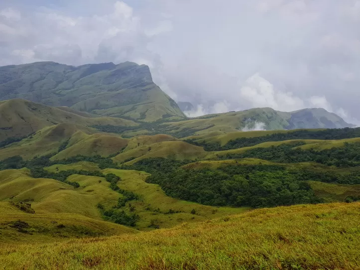

At the end of zig zag point, there is a rock cluster with a blue arrow mark showing the direction to the peak. Jatin pointed at some ruins and mentioned there used to be a British Rest house there. The last part of the trek is not a steep climb because of the shape of the mountain. It is a level walk past green fields.
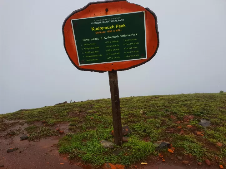
As we went closer to the highest point, the rains kept increasing. It stopped for sometime when we reached the peak. At the peak, there is Forest Department Board as well showing the details of Kudremukh peak and other peaks of Kudremukh national park. As it was raining continuously, there was no visibility, all I could see was clouds below.
Waited sometime there to see the hills and clouds play peek-a-boo. After sometime started the descent, capturing and soaking in as much as possible. The descent was a fast one, as we wanted to reach on time and I was hungry as well. We crossed a skull as well near a stream. Jatin saw a wild boar running ahead as well. We reached back till the jeep drop point by 4:30 pm.
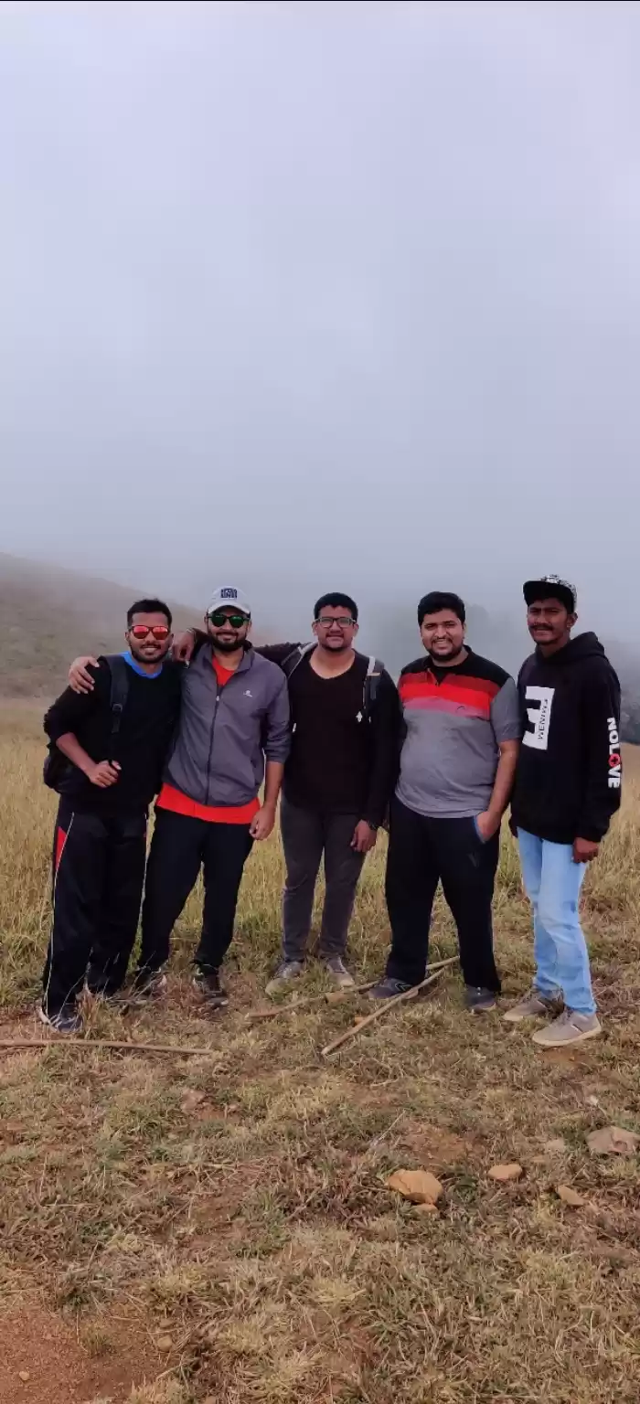
Leech bites, heavy rains, gusty winds nothing could stop us to conquer the peak. It was just us at the peak. Kudremukh trek is otherwise a popular trek but as it was a weekday, it was only we three on the entire trail. At many points, I was walking alone and got answers to many questions. I was alone, but not lonely; Inspired by ontimara and nature.
Straight From My Heart,
Prakriti Singh
https://prakritisingh.com/
Frequent Searches Leading To This Page:-
Trekking package in karnataka, special treks packages in karnataka, weekend trek tour of karnataka, best trekking & adventure sites in Karnataka, Karnataka Trekking Places Itinerary

