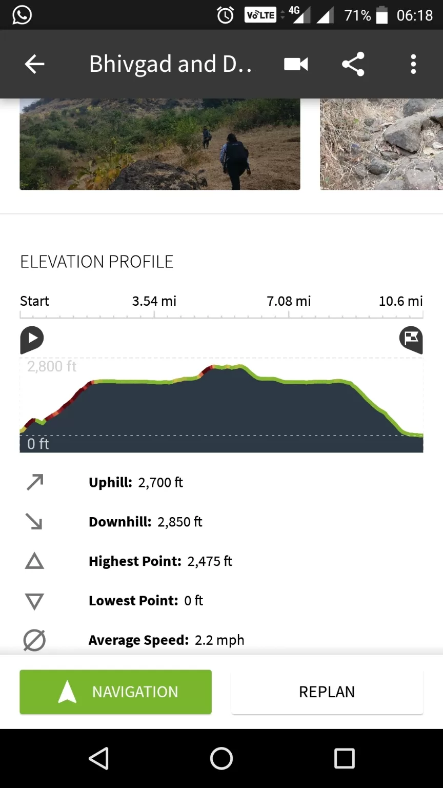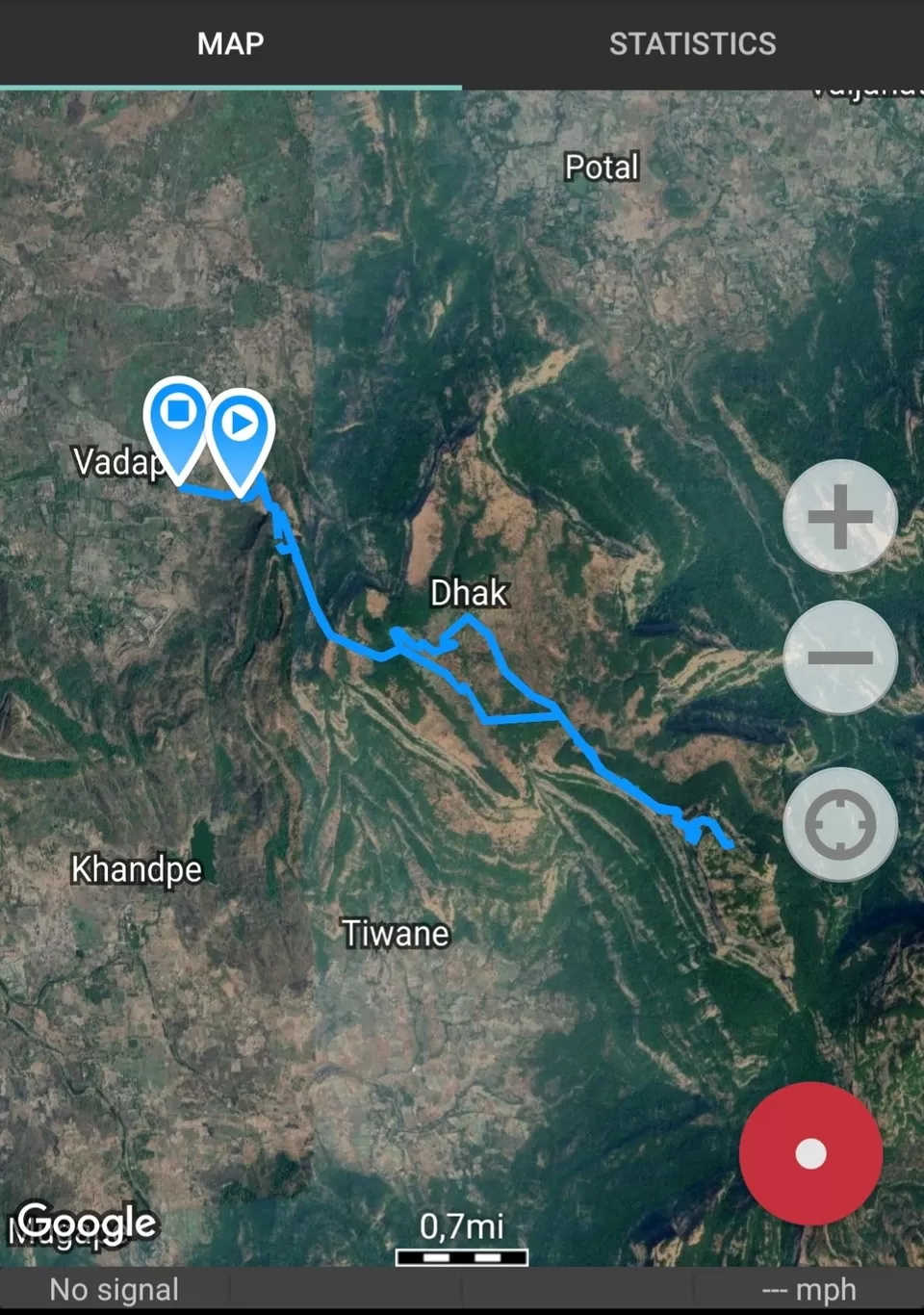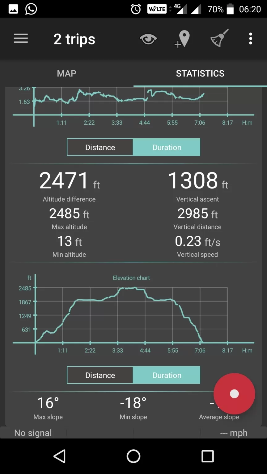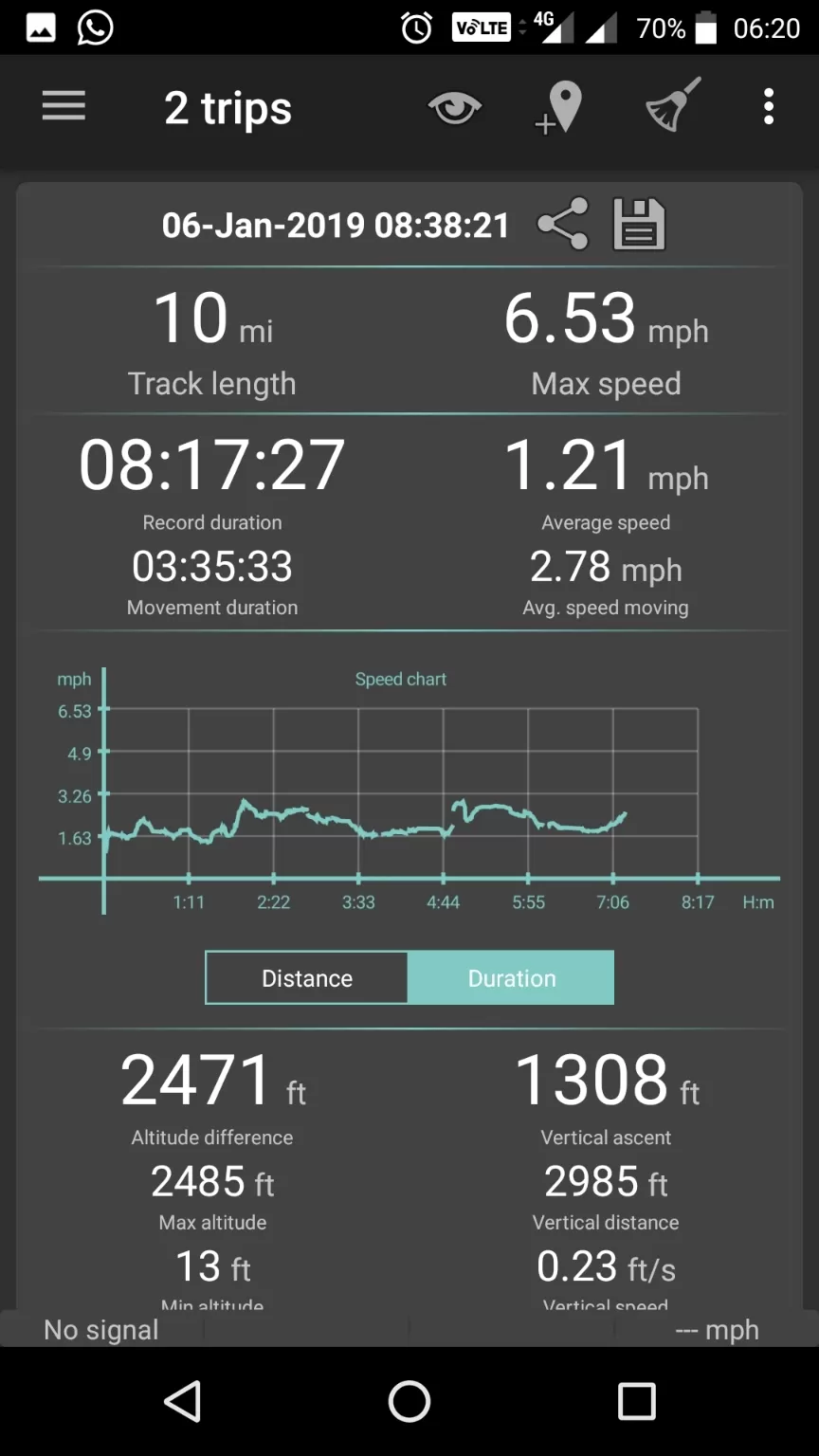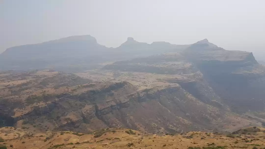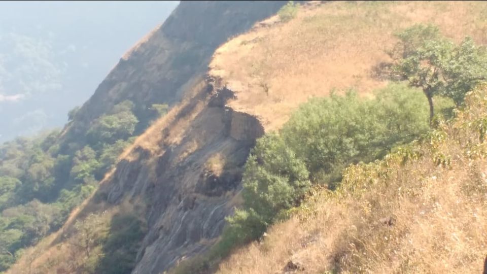
The first official weekend of 2019 and it has to be a trek. So the weekend was devoted for the trek but the place was not finalised until Saturday evening. Finally late evening, we finalized the place and it was Dhak after Speaking to Jigi Sir (Trekopedia) of WOW. When you read Dhak you might confuse with Dhak Baheri; we did go on the same route till some point but our trek was to Dhak Fort. As a practice, we started checking if we can find more information on the route apart from the base village. All our efforts were in vain. We gave up and decided to go with whatever limited information we have.
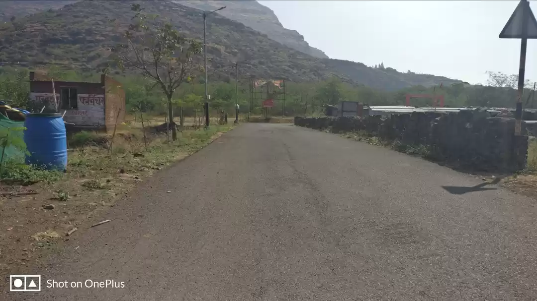
We started our journey by first karjat local at 5:06 AM from Dadar which dropped us to Karjat at 7:08 AM. From Karjat station we three of us went to Karjat west and took an Auto for Vadap which is the base village for both Dhak Baheri and Dhak Fort. Vadap is approx. 6 km from Karjat station and takes 20 mins to reach due to the bad condition of the road. Share auto is available for Vadap from karjat but you can find those near Shriram Bridge which is about 1 km from karjat station.
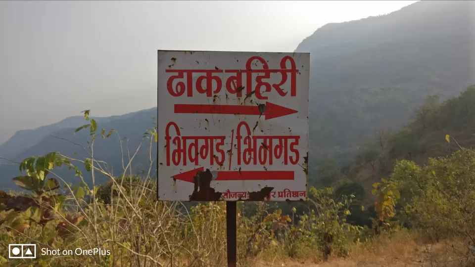
We reached at Vadap just near the Bhivgad information board and enquired about the route till Dhak, post which we started our trek.
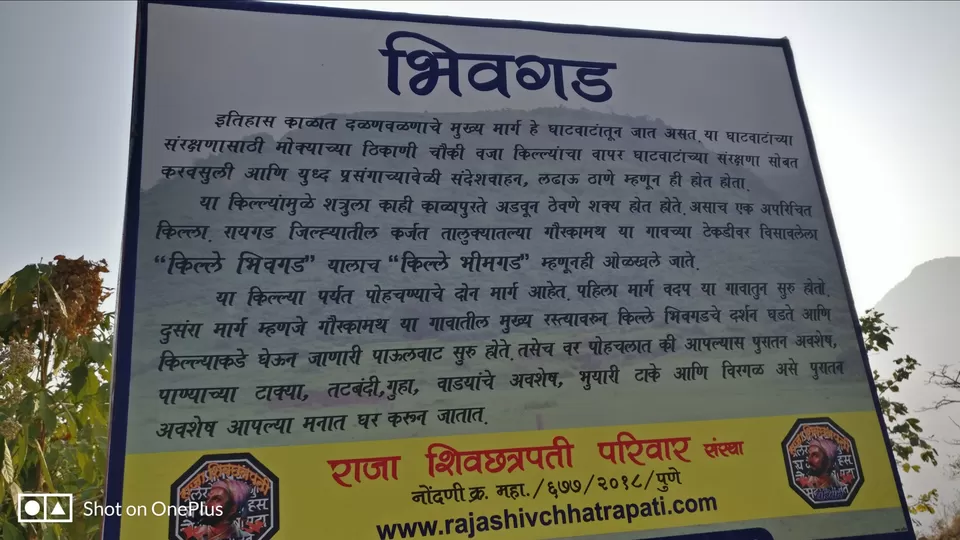
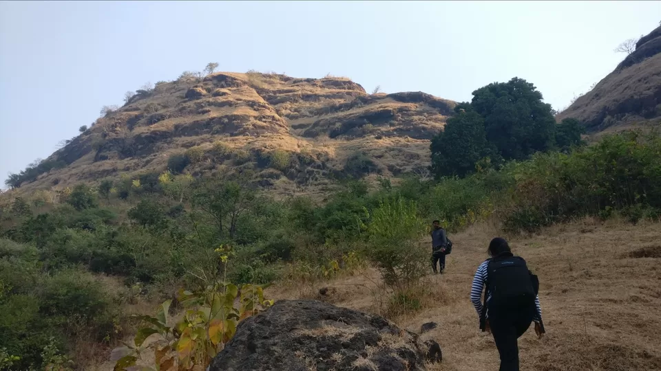
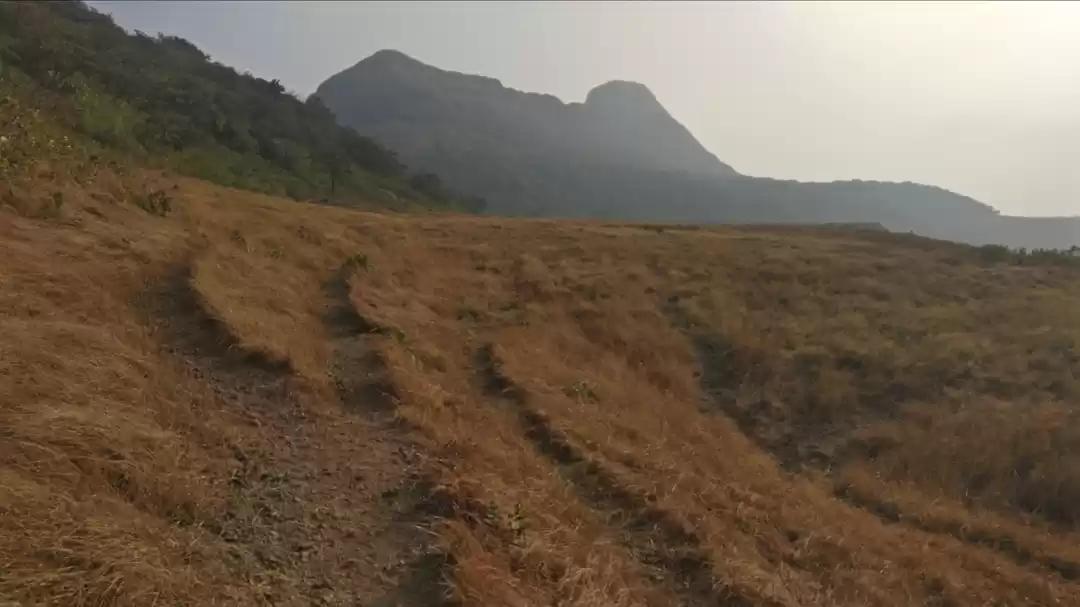
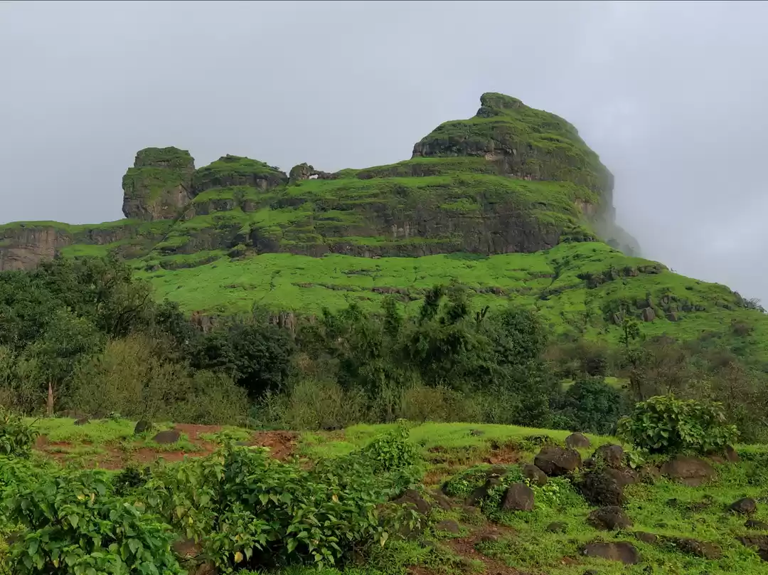
Post walking on right from the information board we took first left, and right in front is the route for Dhak from the Col. Please note Dhak fort is not visible from Vadap village. Only once you cross the Dhak village the Fort is visible. On the left is Bhivgad also known as Bhimgad and the route for Dhak Fort or Dhak Baheri is on the right ridge.
Initially, we thought let's climb this while our return journey. However, after giving a second thought we were like, let's do this now and then proceed to Dhak Fort. As decided we started our trek to Bhivgad first. Bhivgad is at the elevation of 825 feet. The route from vadap village till Bhivgad is paved and easily traceable. The climb took barely 20 mins from base till the summit.
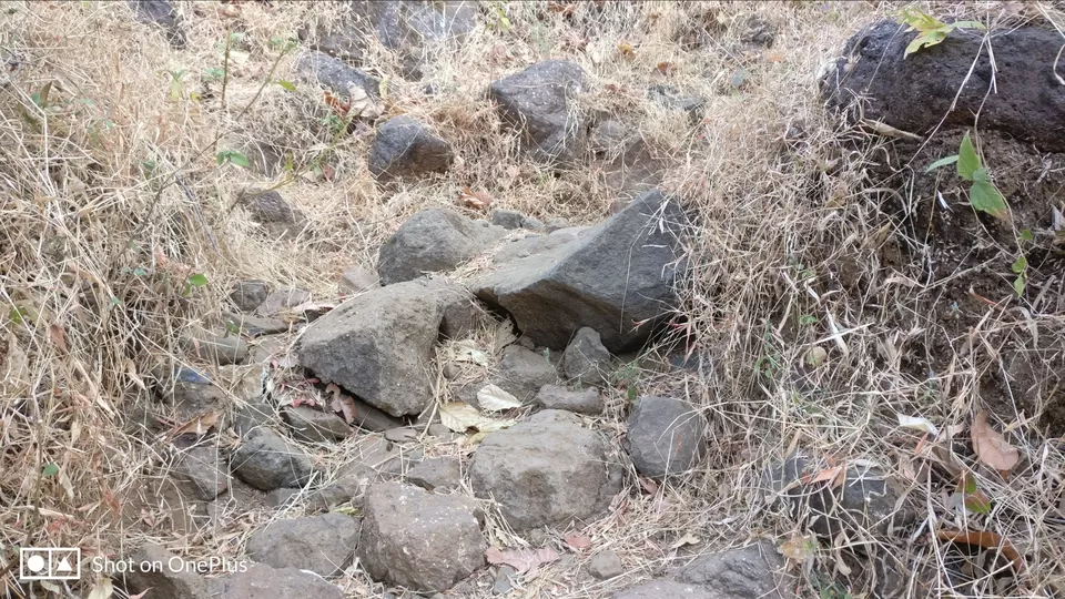
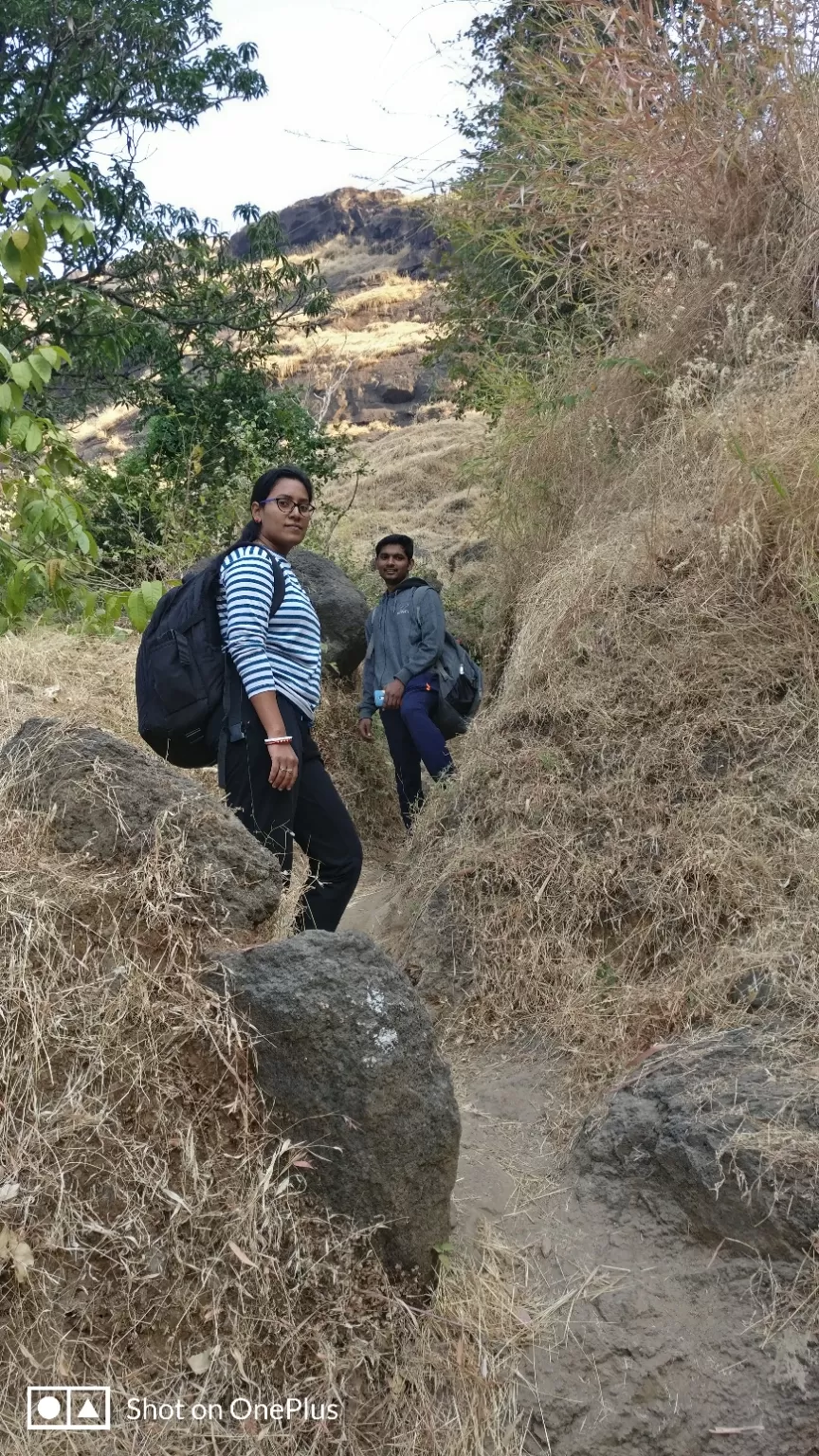
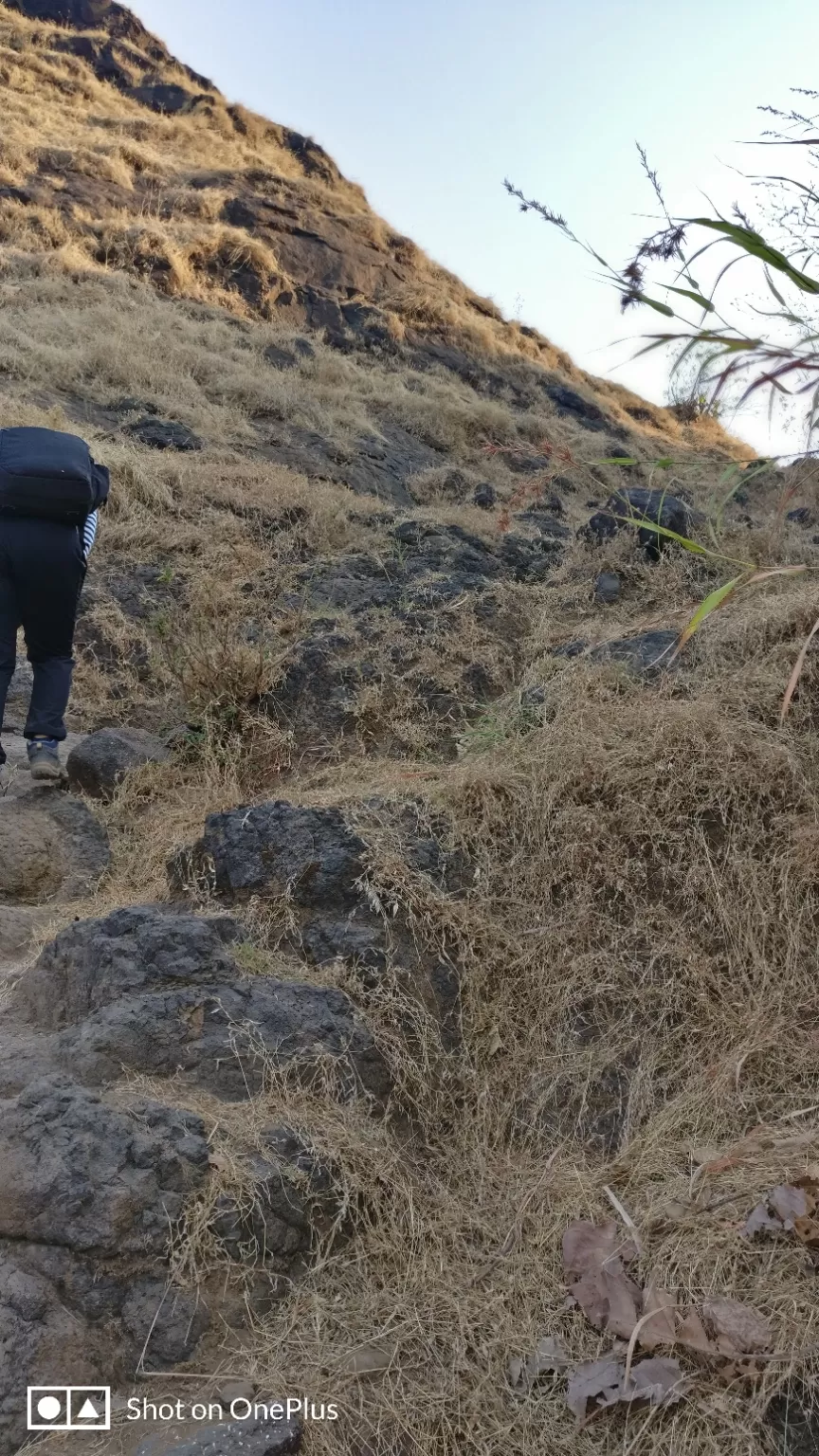
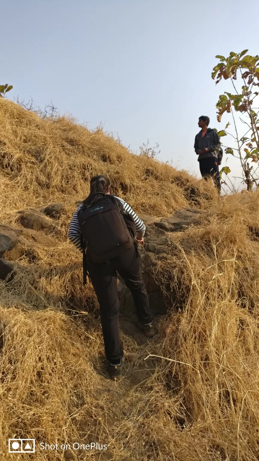
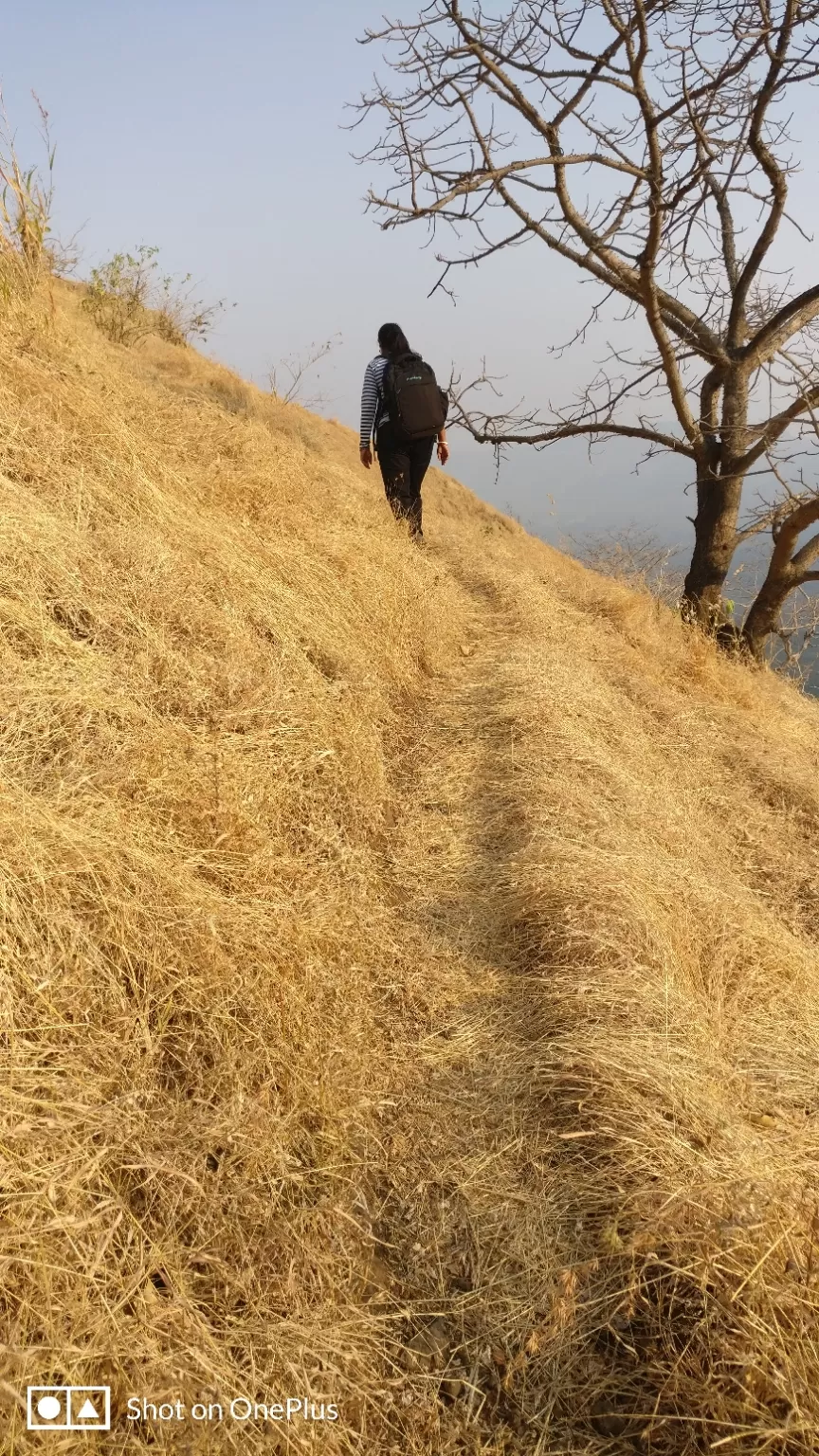
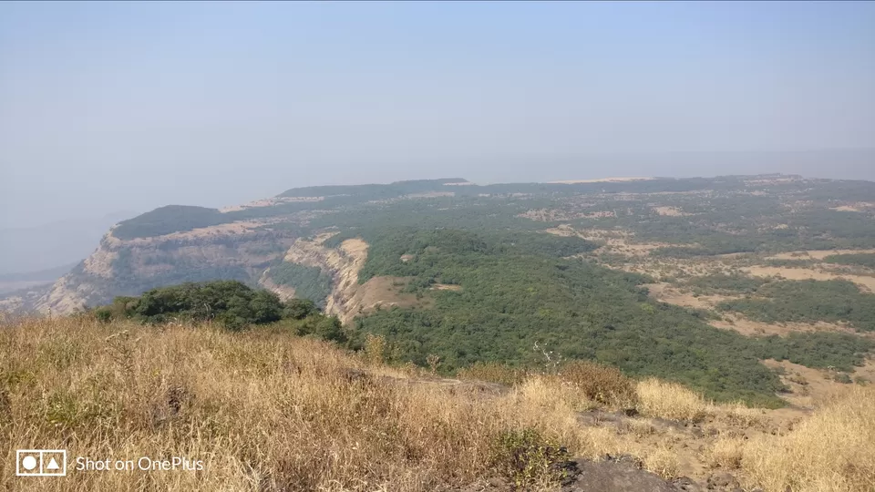
This being the small fort and the watch tower there is not much to see on the summit. Two Water cisterns and ruins are found on the fort. The view from the summit of any mountain is mesmeric and so is from here.
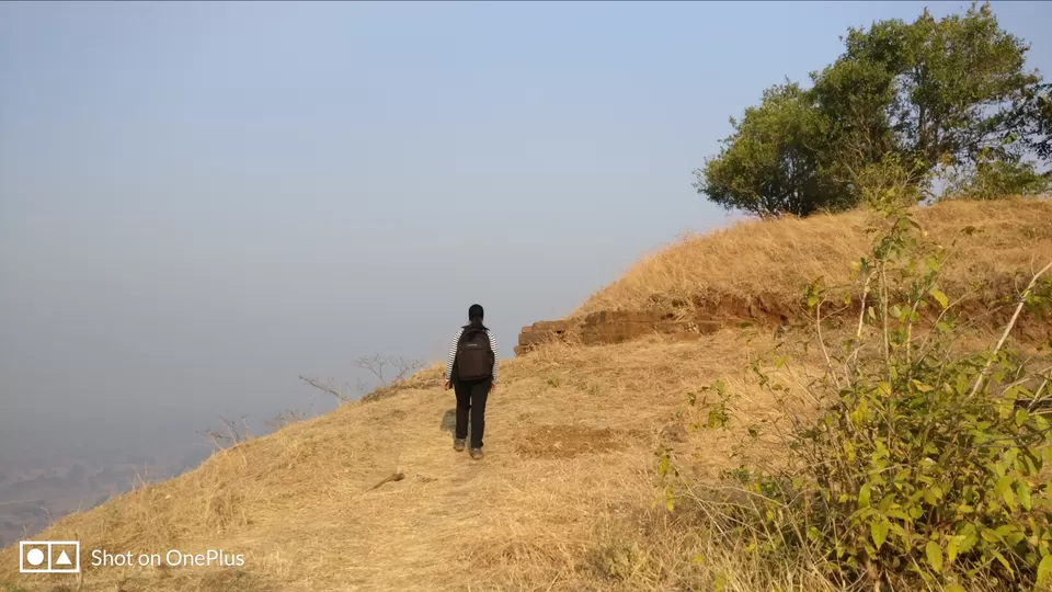
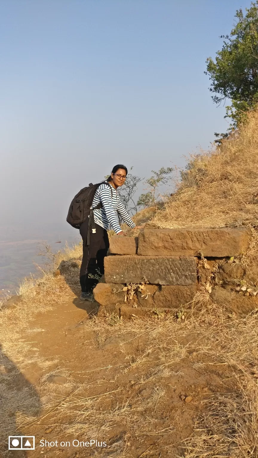
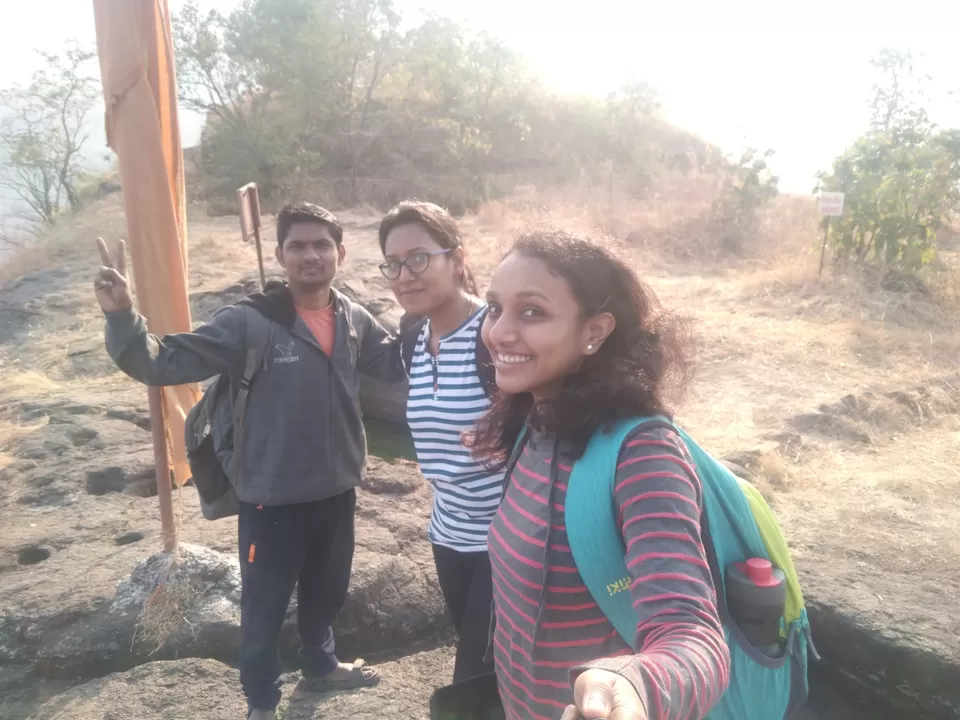
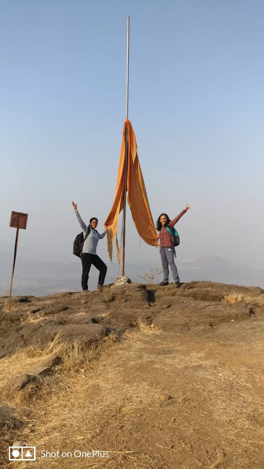
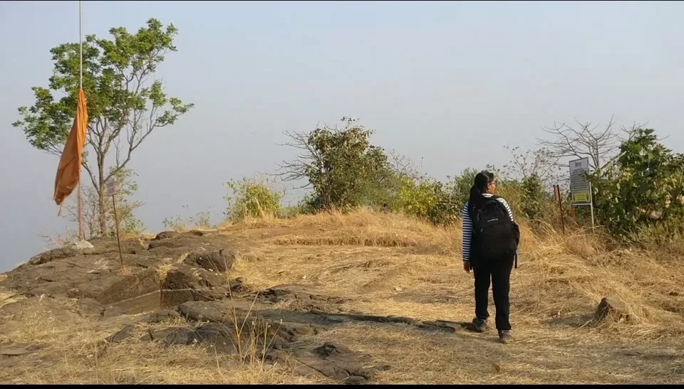
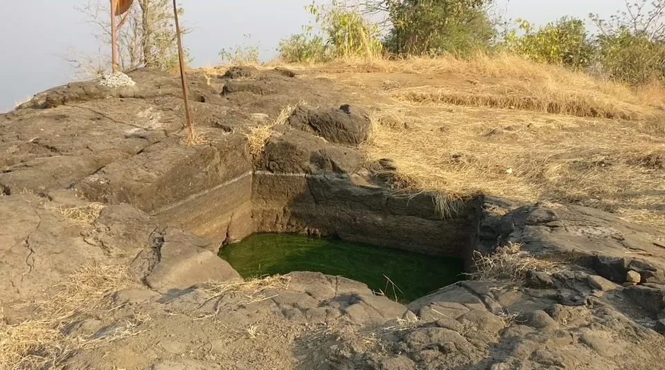
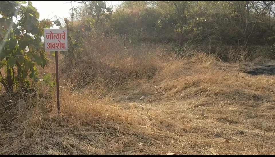
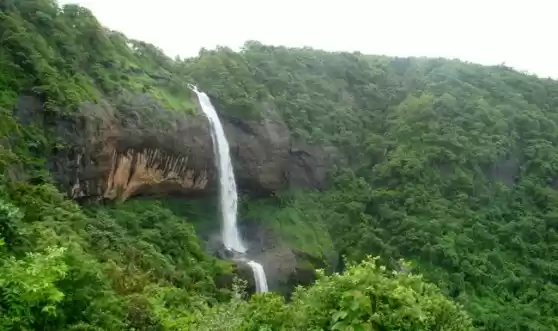
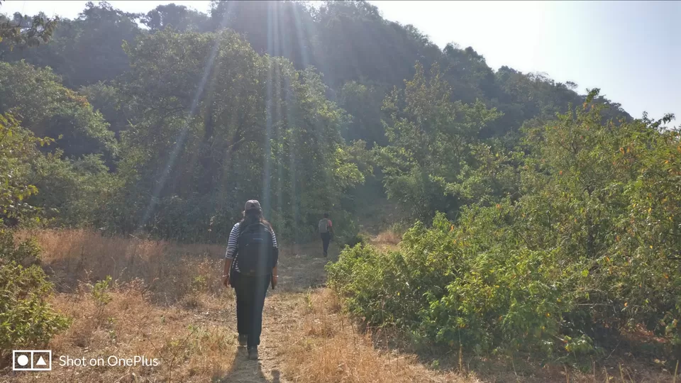
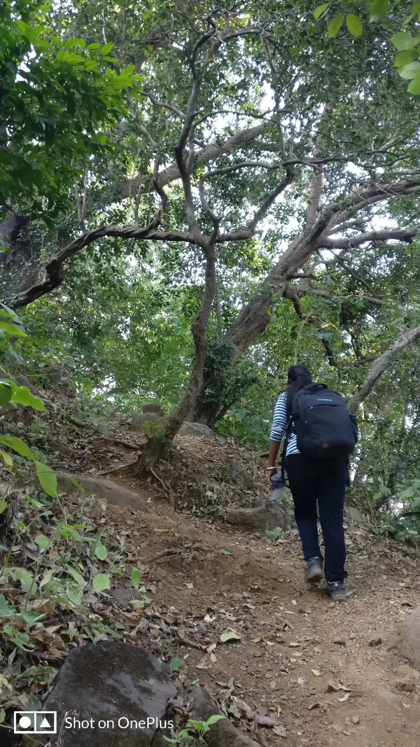
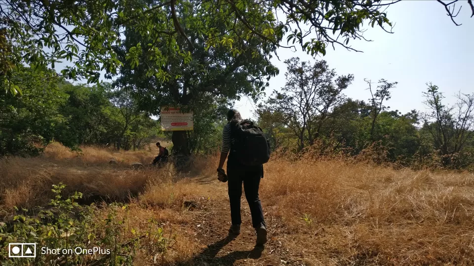
As we had to proceed for Dhak we did not spend much time on Bhivgad and started descending. From the Col, we started trek on the ridge for Dhak. After going straight for about 500 meters there were 2 routes, ideally we should have taken the left route which is directly connecting to Dhak Temple. Unfortunately, we ignored this route and went till the Small waterfall (Dried) from where, we then started climbing the waterfall route and managed to reach the first small plateau where there is a small hut near the Mango tree. From here we started ascending gradually to reach Dhak village.
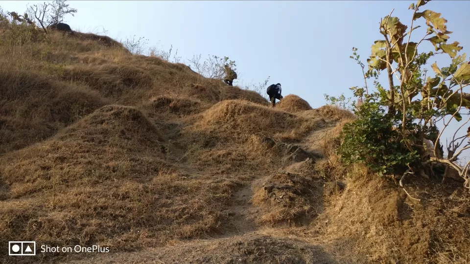
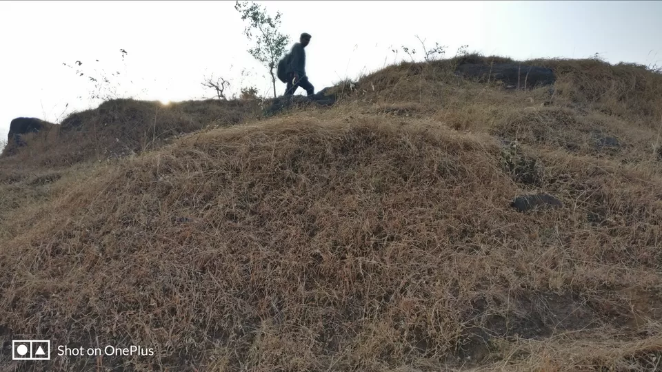
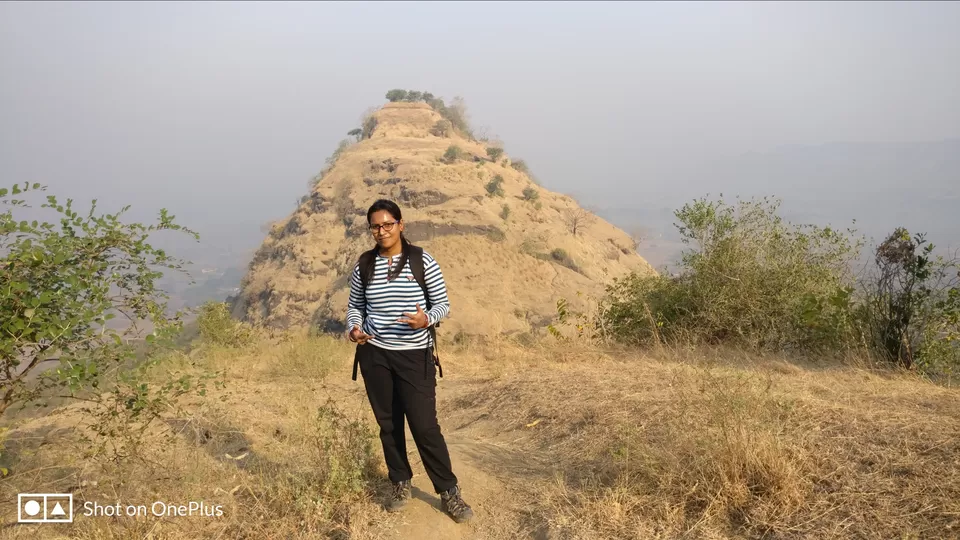
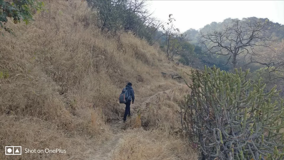
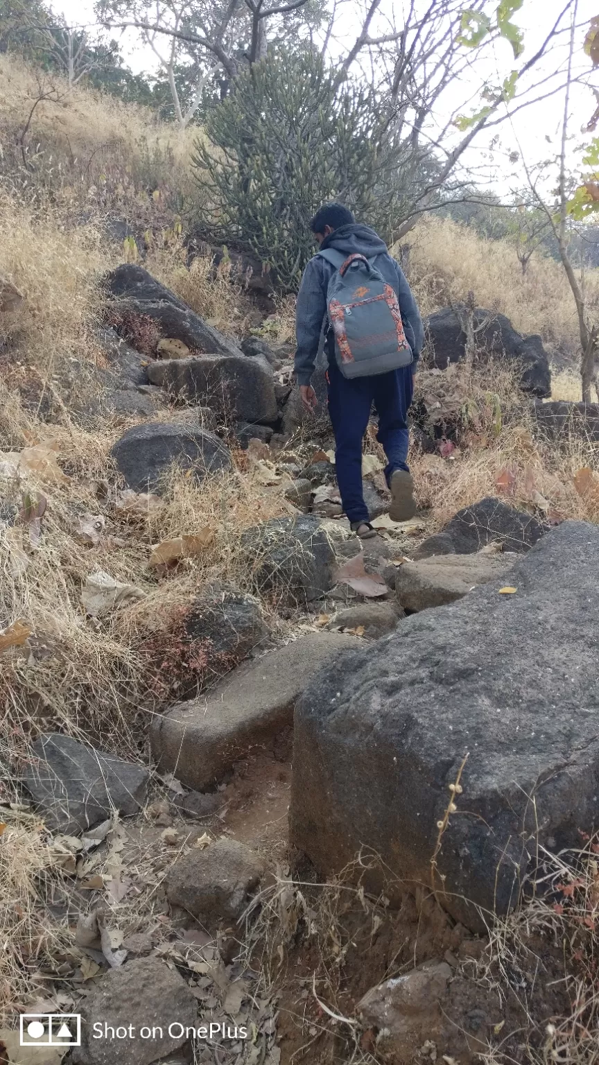
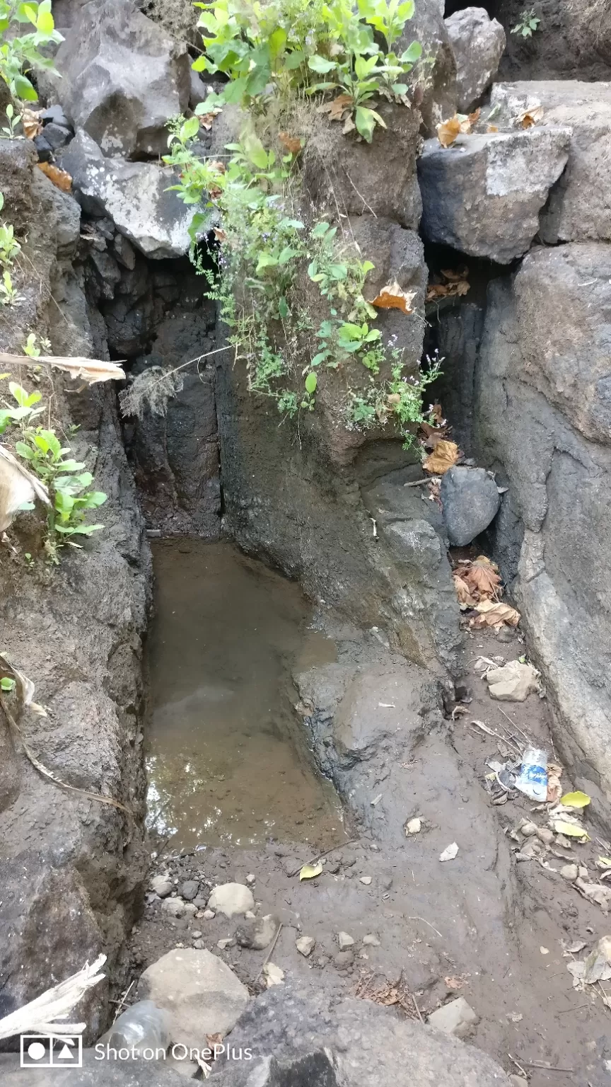
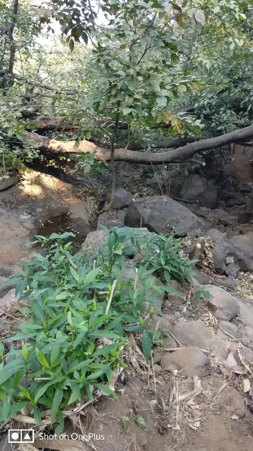
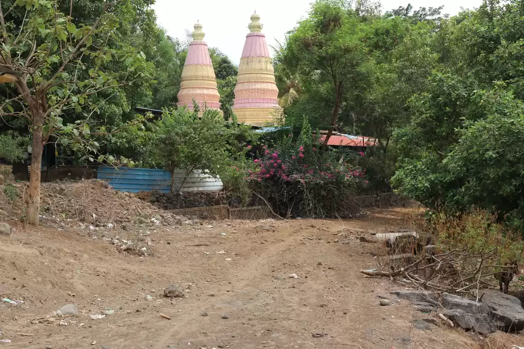
The route is on and off the moderate forest and is paved route till the Dhak Temple. On reaching the second plateau which is the biggest plateau on this trek there is Dhak Temple on the left. Just after reaching the plateau from the forest route take the right which is again the paved route. As we went to temple we did not come back to the ideal route and started walking straight from the temple towards the Dhak village which we could see on the GPS tracker.
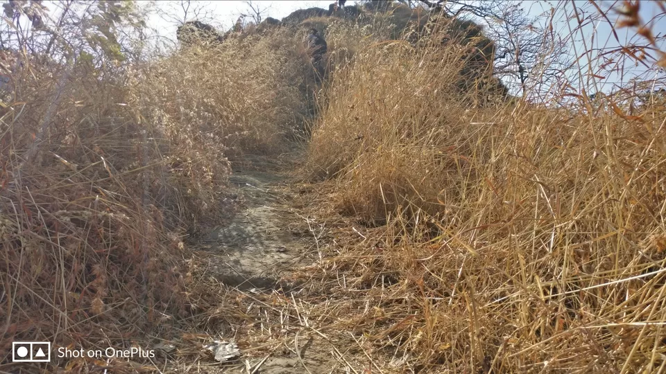
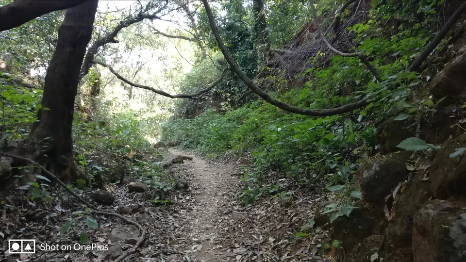
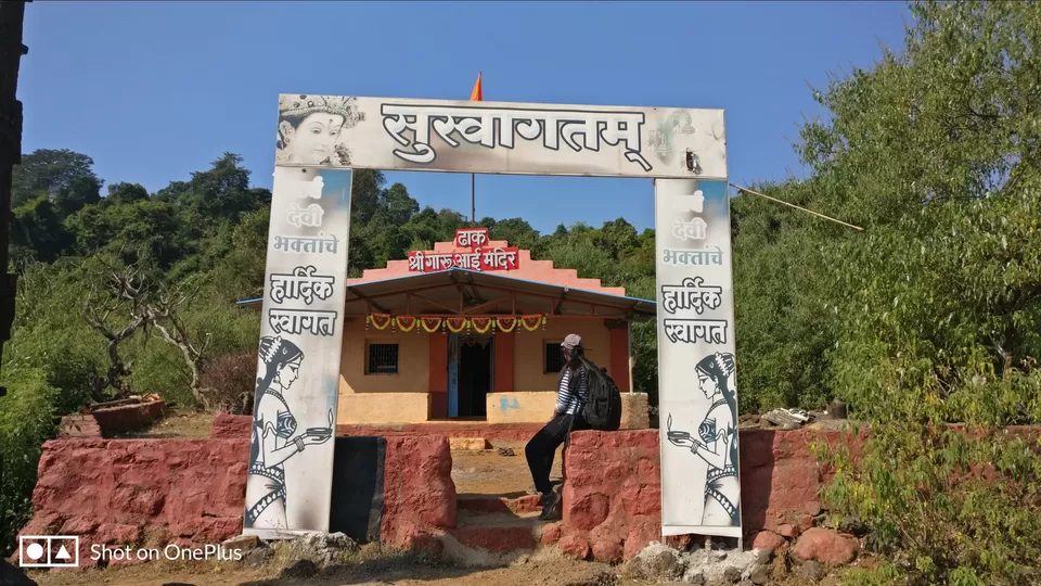
We found the route which is mainly used for bullock carts and started following this route till the Dhak village. There are hardly 3-4 houses in this village. We searched for someone in the village who could guide us till Dhak fort but unfortunately no men or a teenager we found. We then decided to give it a try and do it ourselves.
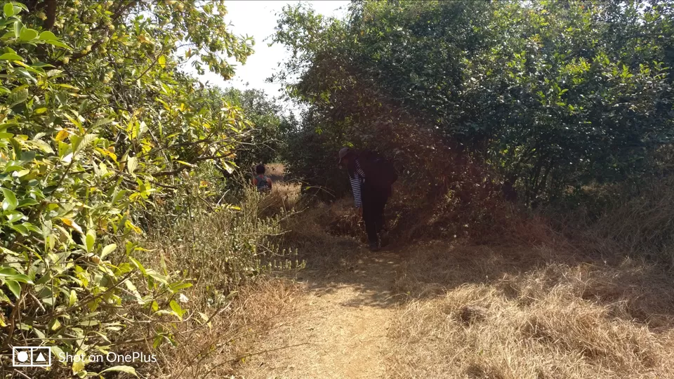
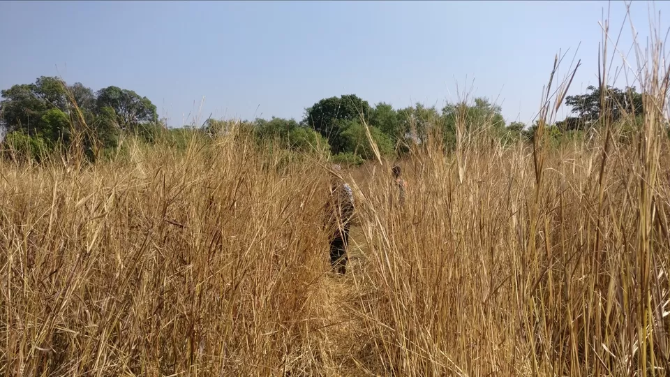
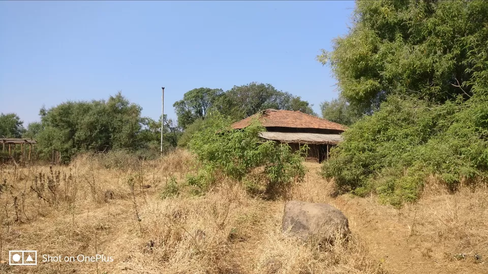
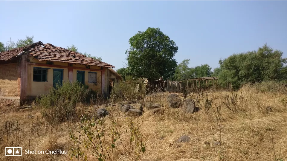
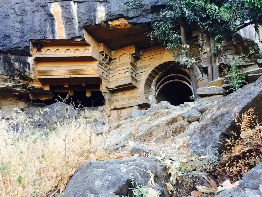
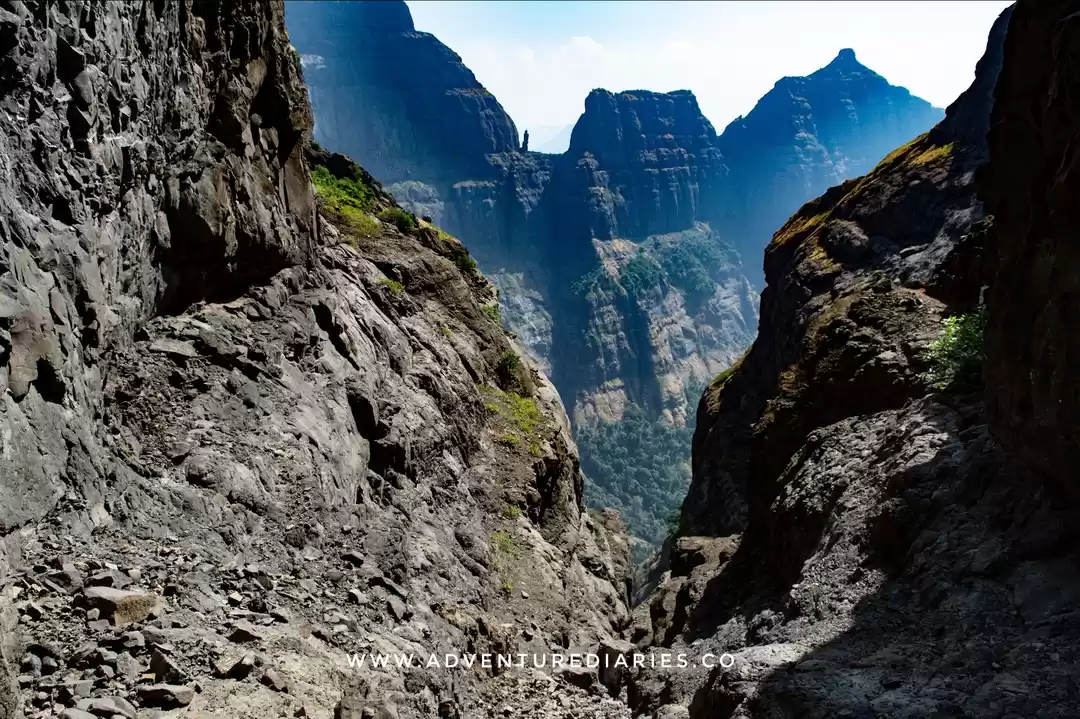
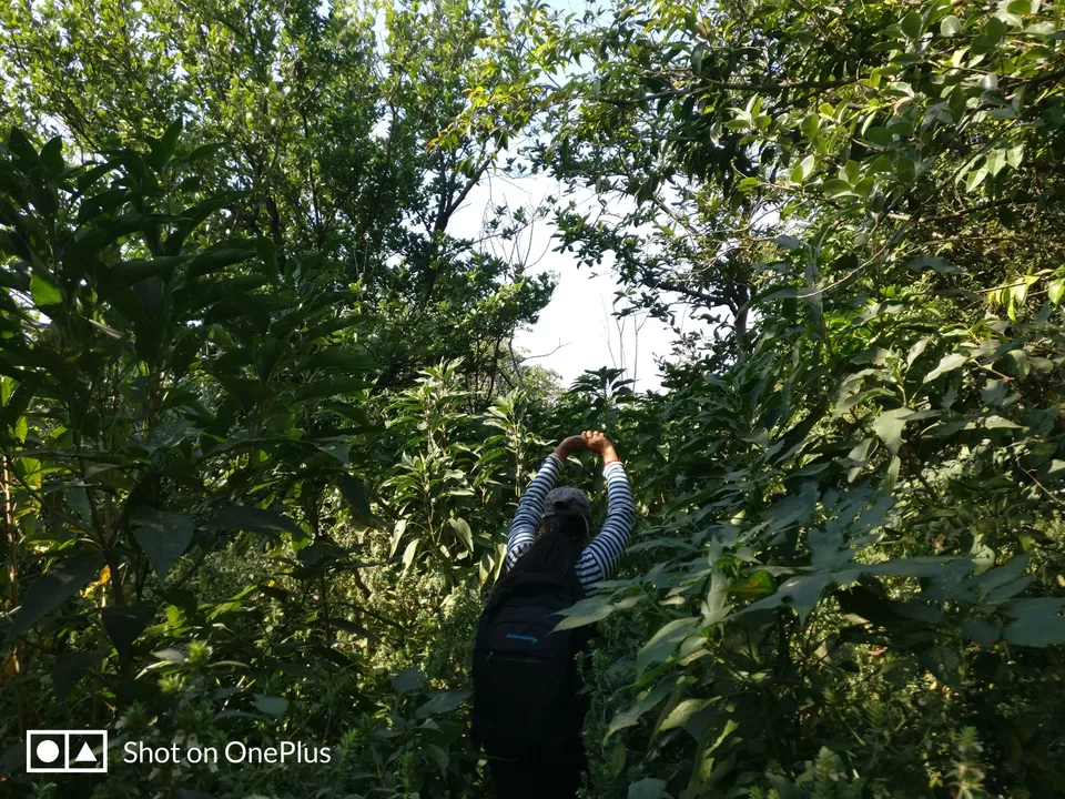
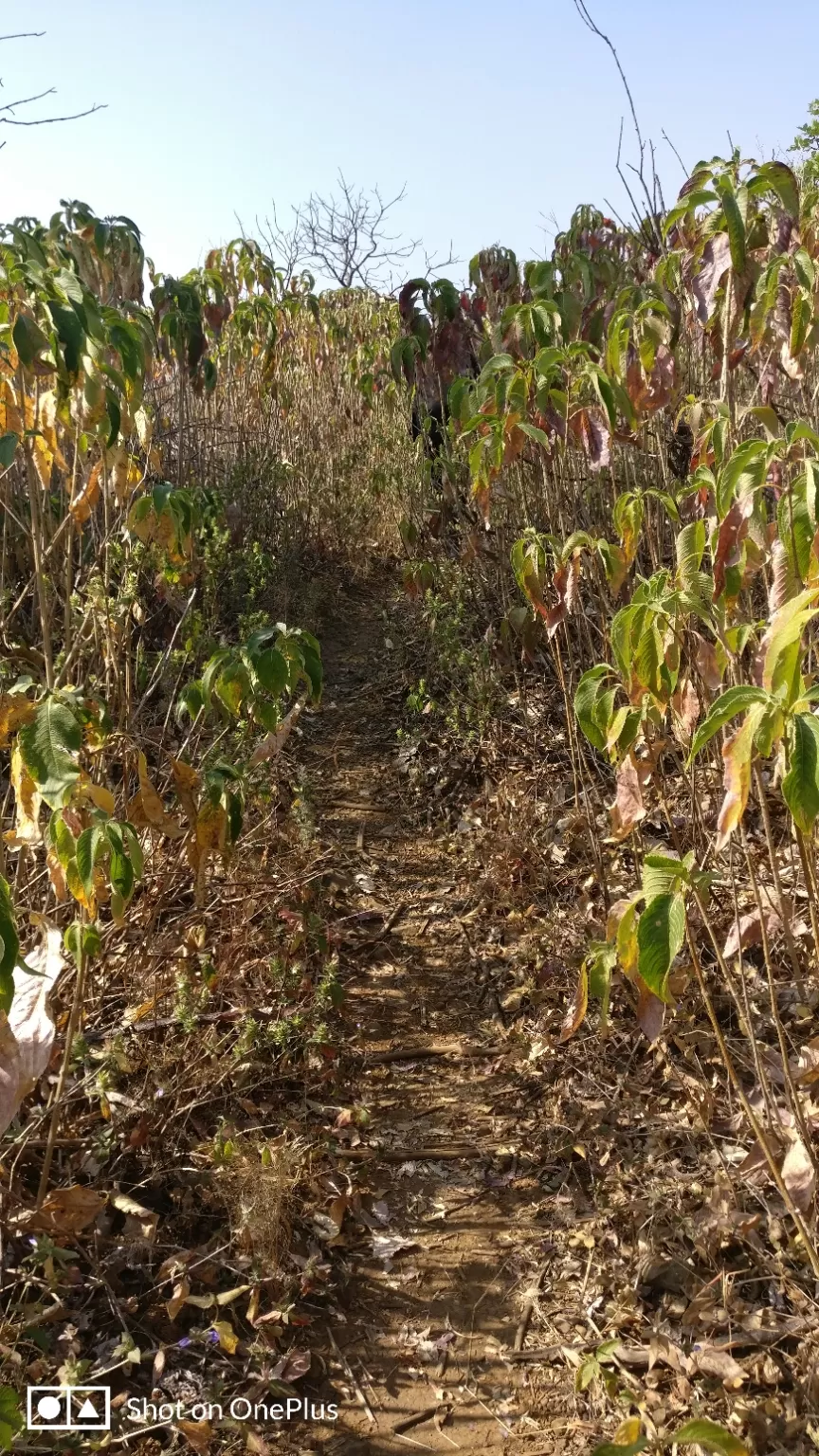
Sometimes Summit is not everything but testing your limit matters. We filled our water bottles here and then checked the route with the female in this village who told us to be on the left of the plateau which will take us to Dhak Fort. She warned us saying if we go on the right we will reach Dhak Baheri caves. Following her advice, we proceeded and tried being on the left. The route goes through the dense forest and the route goes in the middle of the thorny shrubs. You can not avoid these shrubs. The only way you can save yourself is by covering yourself fully and running on this way till the shrubs end. Throughout this way, there are 4 -5 such patches. Post these patches again we reached on a plateau from where we can sight Dhak Fort.
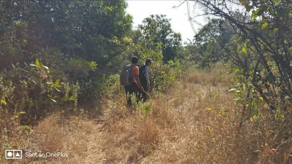
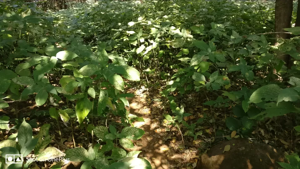
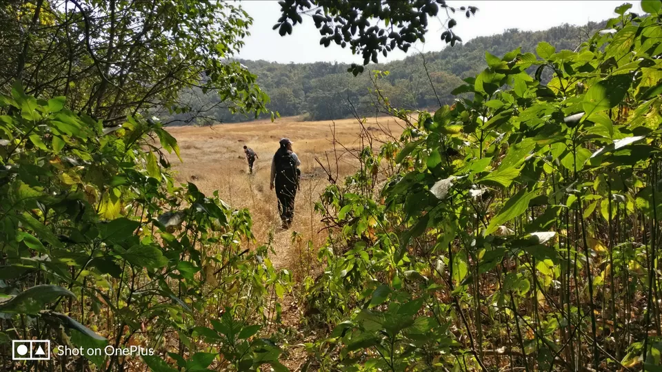
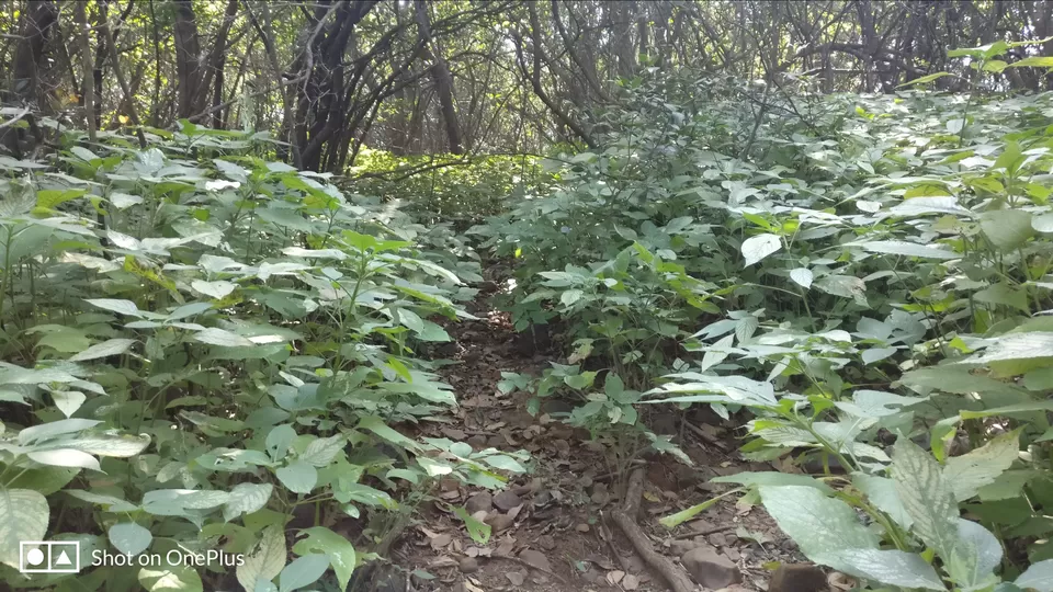
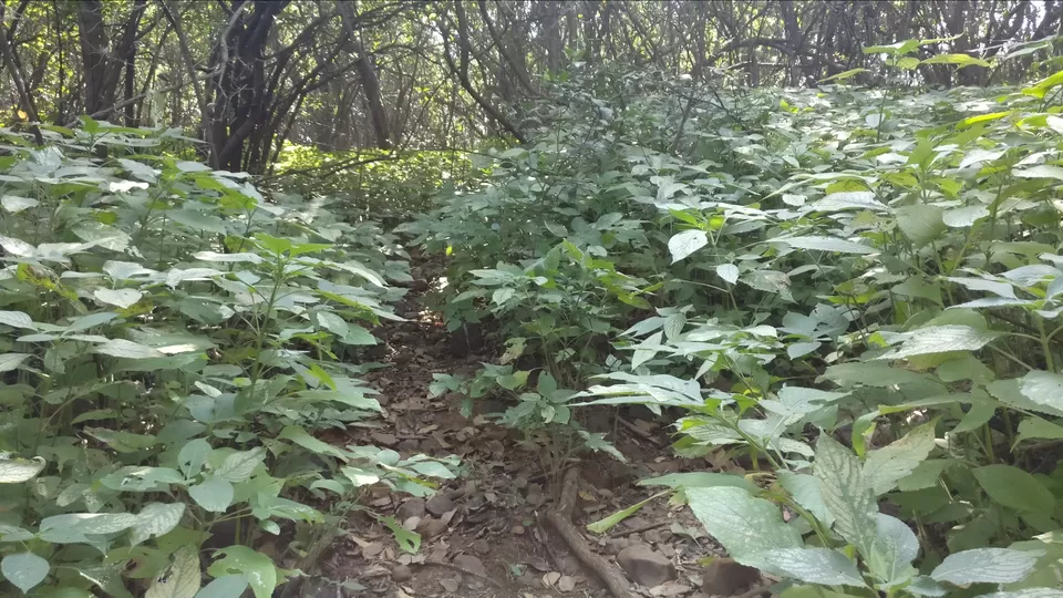
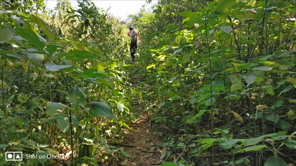
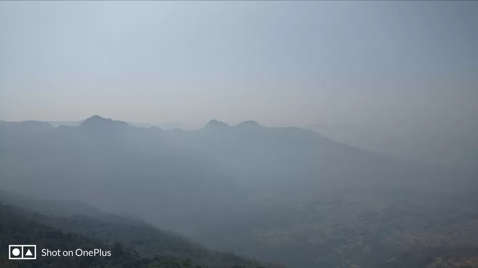
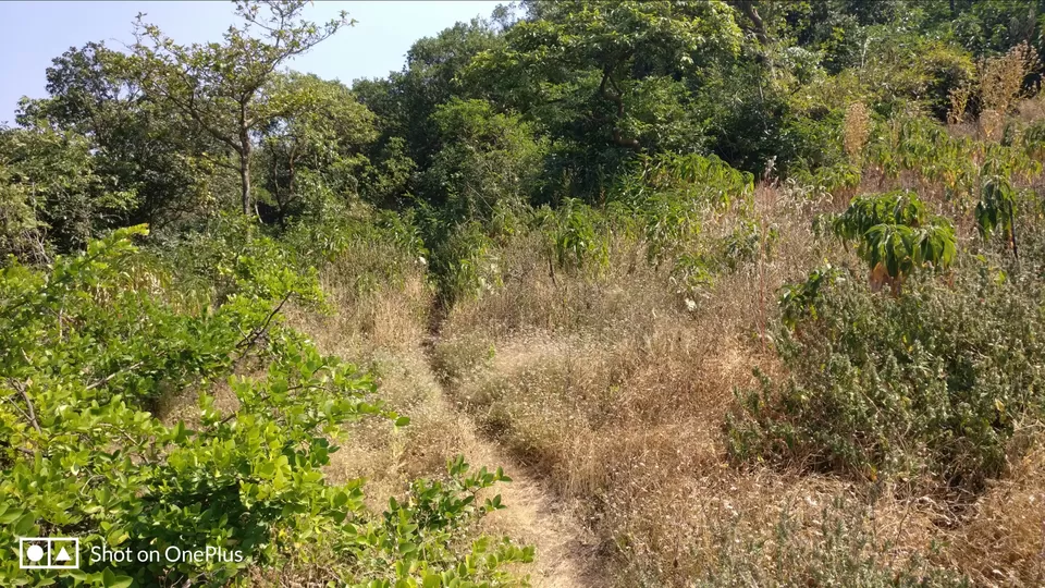
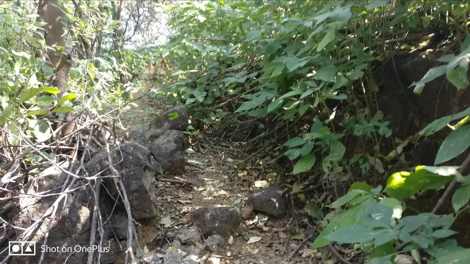
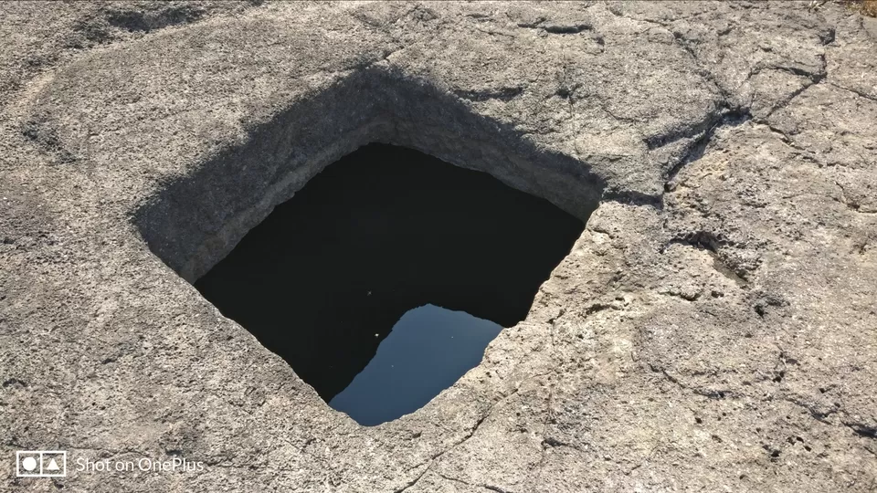
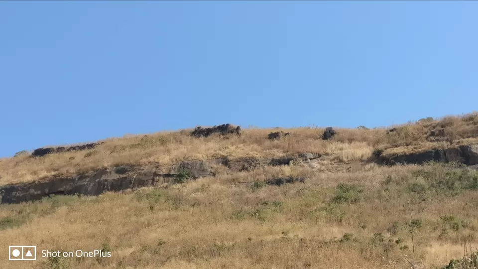
We could see the fort but there was no route to ascend. We went on left and could find a small route traversing this hill. We walked onto this route and could find the fortification of Dhak Fort and four water cistern. Water from one cistern can be used for drinking.
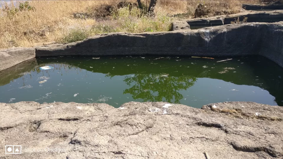
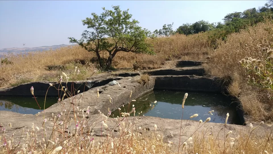
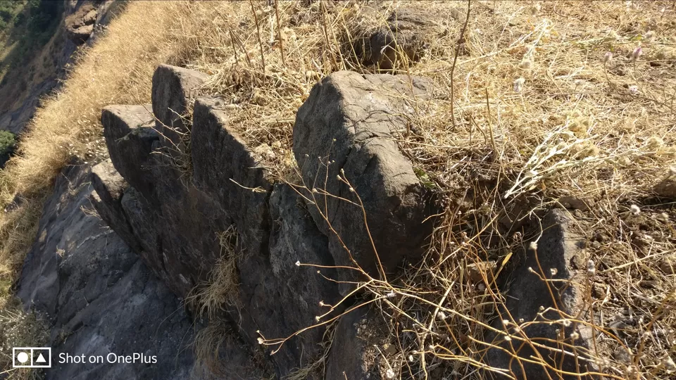
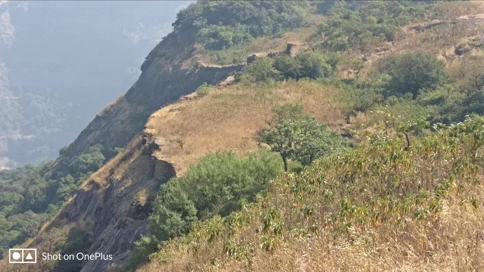
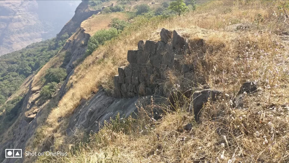
Just on the right of this water cistern is a small route which will take you to the other side of Dhak Fort from where you can descend to Rajmachi. We had no plans of getting down from here so we started searching the route to climb the small hill. There was a paved route but due to time constraint, we went on the other side of the hill that was facing Dhak village and started climbing through water stream route. 75% climb we could do but later it was difficult without rope or equipment. However, we were satisfied as we had seen what we intended to and started our return journey. It took around 5 hours for us to summit Dhak Fort.
According to our calculation, we would need at least 4 hours so without wasting much time we started descending. The GPS tracker was quite helpful to guide us back to the base village. We did not follow exactly the same route but at least we knew we are not getting lost in the forest. In fact, in some places, we could use shortcuts and then join the route which we used while ascending. Descend took around 3 hours so by 5:00 PM we were at base village.
Applications used for tracking:
Geo Tracker and Komoot
