We would enthusiastically like to introduce “Himalaya Shelter” as
the best place for adventure tourism, especially trekking around the Gharwal and Himachal regions of India
The meaning of "Kedarkantha"
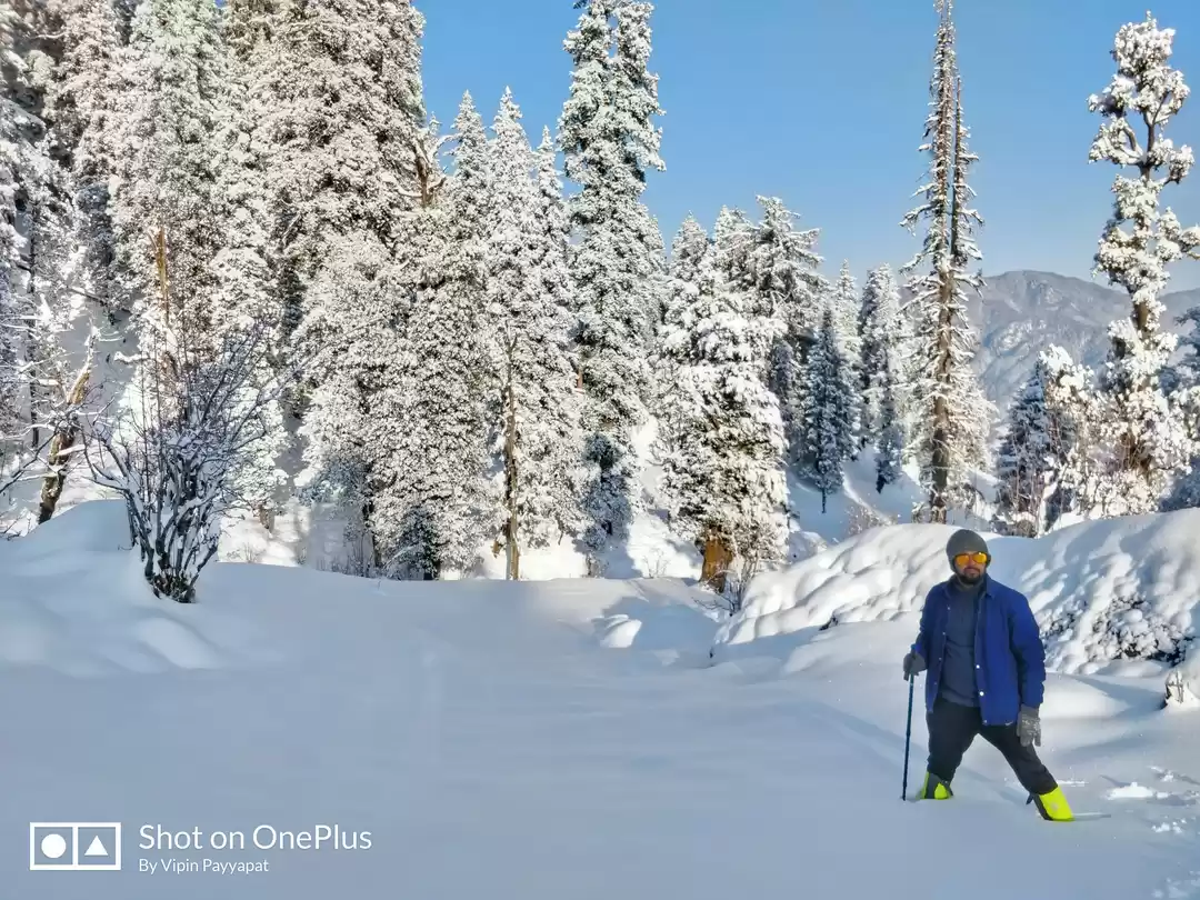
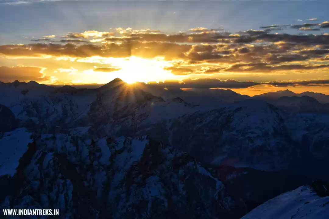
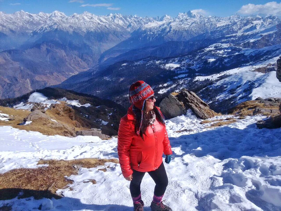
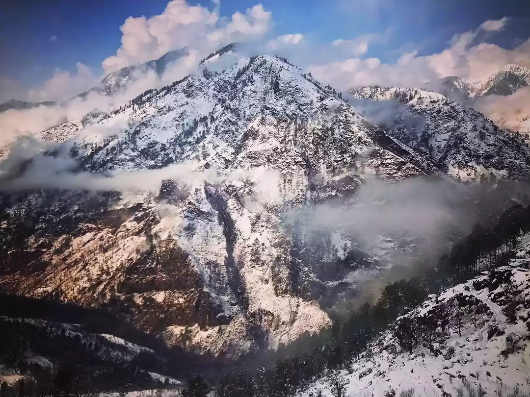
Kedarkantha peak is located in Govind Wildlife Sanctuary, Uttarkashi. It is accessible throughout the year, except July and August. The summit of Kedarkantha peak altitude or height is 3810 meters or 12,500 feet. Kedarkantha summit offers 360-degree view of many peaks. Swargarohini, Bandarpoonch I & II, Black peak, Ranglana from the Yamunotri and Gangotri ranges are visible from the top. The name of the peak translates to "lord Shiva's throat", Kedar (केदार) meaning Shiva & Kantha (कंठ) meaning throat.

Day 1: Dehradun to Sankri (1,920 m): 187 km drive in 8 hours
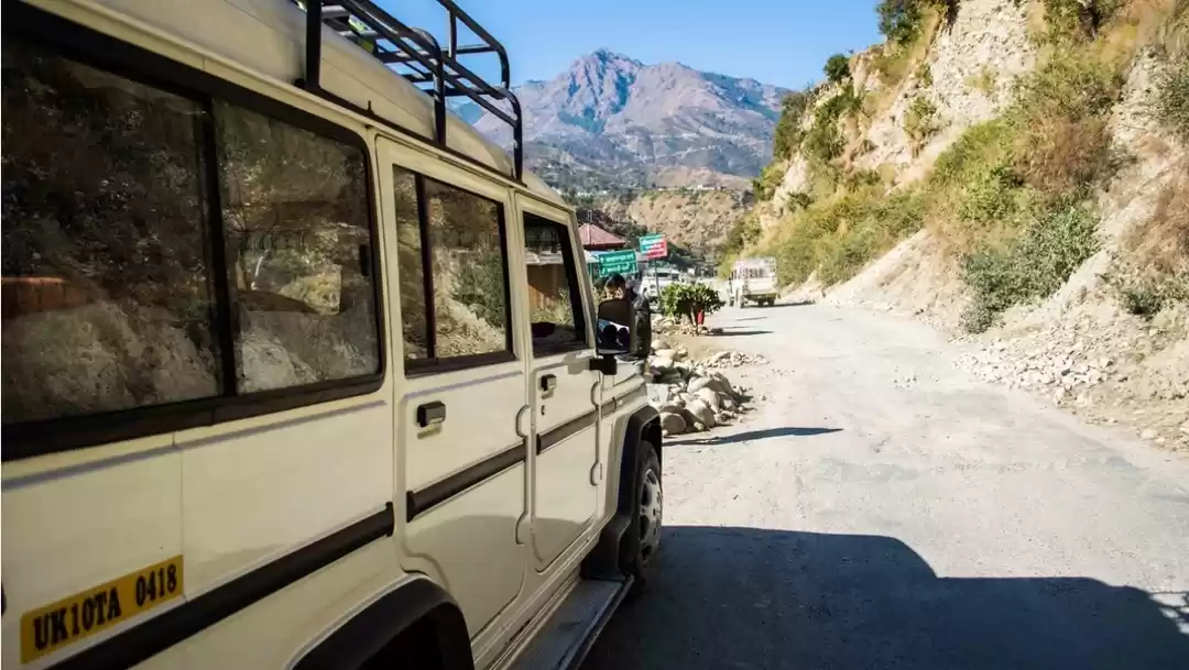
The drive to Sankri from Dehradun takes you through towns and villages like Mussoorie, Nowgaon, Purola and Mori. After gaining height at Mussoorie, we continue our drive inwards and, soon, are joined by the river Yamuna a few kilometers ahead of Kempty Falls. The drive goes through a dense pine forest engulfing you into sweet but strong scent of pines. After you drive through the length of pine forests, you enter Mori. The Tons River starts accompanying you from here, which happens to be the biggest tributary of Yamuna and is well known for rafting activities. The picturesque drive starts early in order to reach Sankri by evening. The 190 km long drive takes around 8-9 hours to complete. For the night, we stay at a guesthouse before starting our hike the next day.

Day 2: Sankri to Juda Ka Talab (2,774 m): 4 km trek in 3 to 4 hours
We leave early from Sankri post breakfast and start trekking towards Juda Ka Talab. The path from Sankri to the base camp is a happening one. With kids on their way to the school and local village women starting their daily errands and chores, the trek starts from the village crossing another village, Saud, before you reach the trail that leads to Kedarkantha. The trail takes you into the pine forest and starts to climb sharply until you reach a ridge after a while. On the ridge, the trail evens out and widens. The density of the forest makes the walk very cool for the sun is not able to penetrate through the thickness of the pine and maple trees. You will finally reach Juda Ka Talab, which is a small lake famous for three landmasses floating on it. For the night, we come by the lake and enjoy the dinner under the gleaming presence of billions of stars.

Day 3: Juda Ka Talab to Kedarkantha Base Camp (3,429 m): 4 km in 3 hours
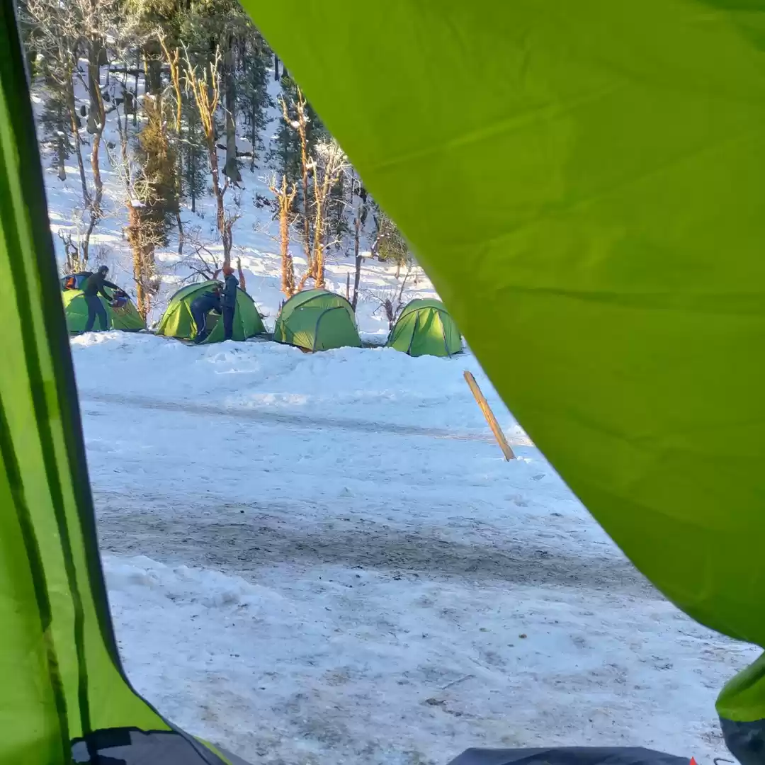
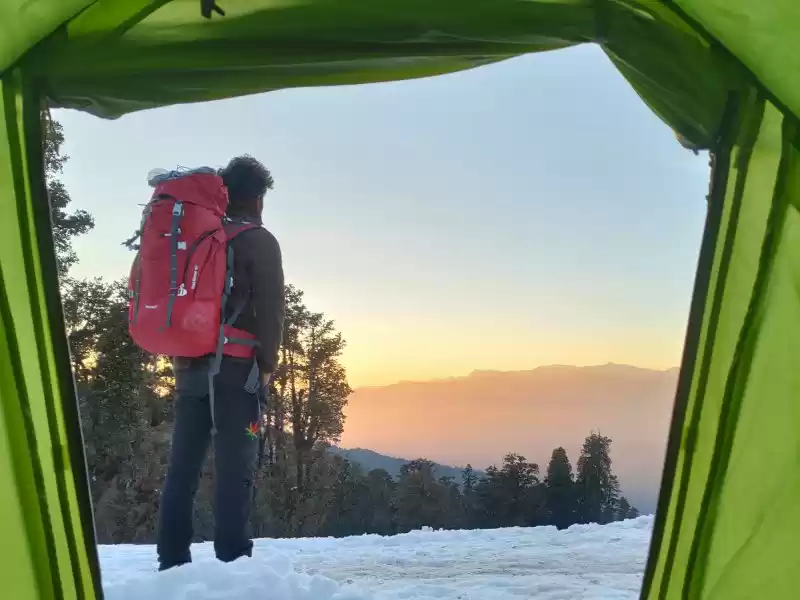
Moving past Juda Ka Talab, a trail takes you deeper into the dense pine forests. Continue walking and you will finally hit a meadow dotted with shepherd’s huts. After climbing another thousand feet, you will reach the destination of the day – Kedarkantha base camp. It takes about 2-3 hours to complete this part of the trek. The trail from Juda Ka Talab till the base camp is indescribably beautiful and mesmerizing. It is the perfect location for photographers and nature lovers! The base camp is colder than the summit because of lack of insulation. Even from the base camp, the famous peaks of Uttarakhand are visible at a stretch, making it the perfect spot to camp at.


Day 4: Kedarkantha base camp to Kedarkantha Summit (3,810 m) and back to Hargaon (2,713 m): 8 km in 5-6 hours
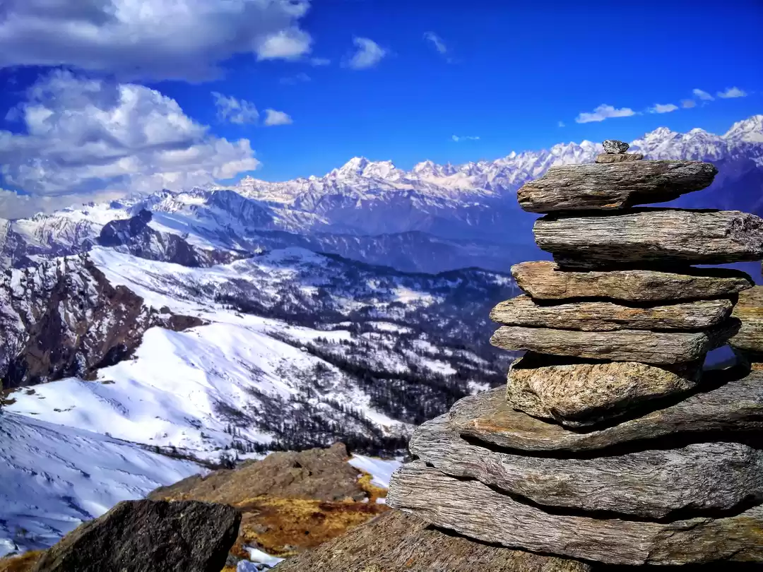
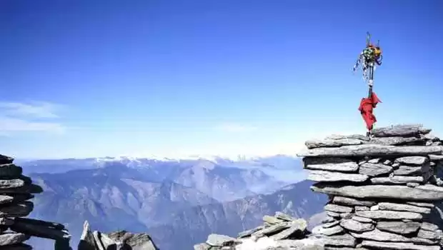
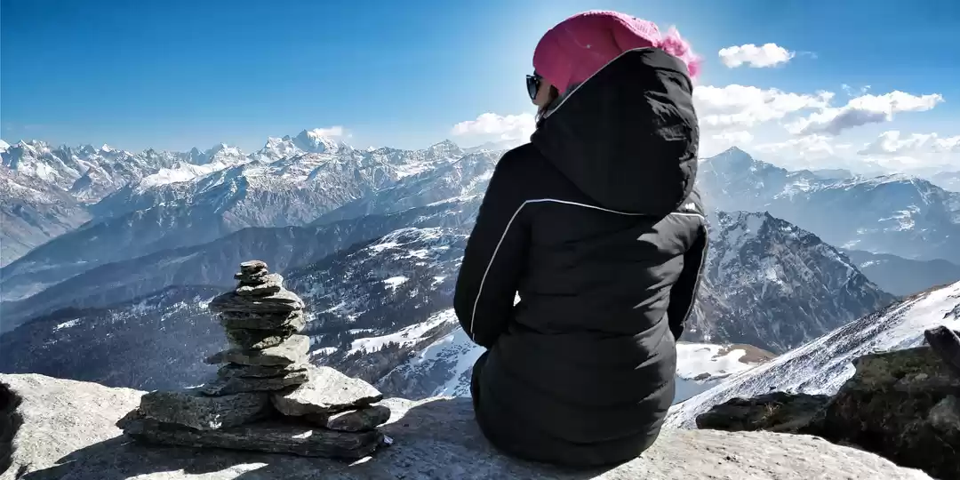
This is the day you’ve been working hard for! The trek from the base camp to the summit is not a long one. On reaching the summit, your jaw is going to drop and your eyes will not blink. The Kedarkantha summit is marked by an arrangement of stones with a Trishul that points to the sky. The summit offers an astonishing 360-degree view of the peaks of Uttarakhand and the Chaainsheel Pass and Kailash ranges of Himachal.From the top, you can also see the Har Ki Dun valley below. The story behind Kedarkantha is an interesting one. The name literally means the throat of Lord Shiva (Kedar refers to Lord Shiva and Kantha means Throat). The legend has it that this peak was supposed to be the original Kedarnath temple but Lord Shiva, who disguised himself as a cow hiding from the Pandavas was disturbed during meditation by the villagers. The interruption made him change his location from this peak to the present Kedarnath temple. We hike back to the base camp after spending good time on the summit. Post lunch we head towards Hargaon (2 km trail). Hargaon is a large camping area en route to Sankri. An overnight stay is required before saying goodbye to the beautiful place.

Day 5: Hargaon to Sankri: 4 km trek in 2 to 3 hours
Today we head down to Sankri. It takes about 2-3 hours to finish this 4 km trek route of the day. For the rest of the day, you can explore the village of Sankri, which is known to be the heart of the Har Ki Dun valley, along with other villages like Gangad and Osla. Sankri is a typical “Pahari” village, with an unbeatable hospitality offered by the locals. It is also the last road head to the Govind Balabh Pant Wildlife Sanctuary.
Day 6: Sankri to Dehradun: 187 km drive in 7 to 8 hours
Going back home always feels great. But the drive will not make it easy for we take the same alluring road back to Dehradun. The landscape slowly changes from pine forests to wider roads as we head back towards Dehradun, finally opening up into the bustling city life.


