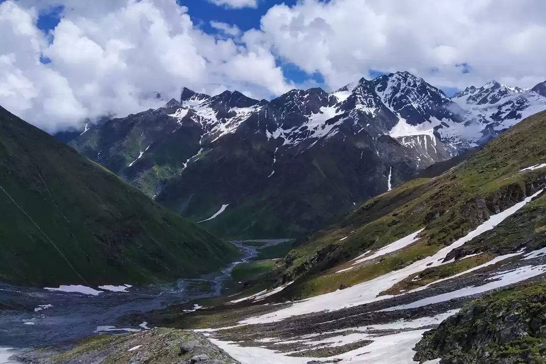
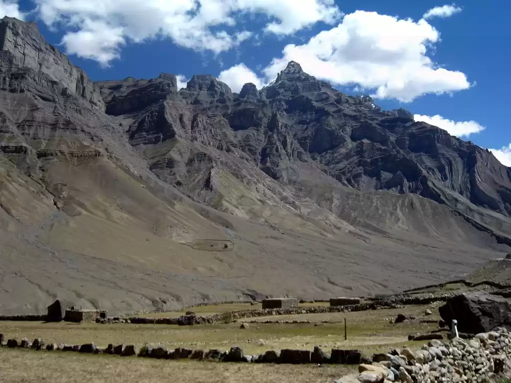
Discover a wide network of national parks in India that host some of the world's most endangered and diverse species. The best way to head this exploration is, on foot. Begin your journey from the largest national parks spreading over 3,000 square kilometre to small Amazonian forests of areas less than 100 square kilometre.
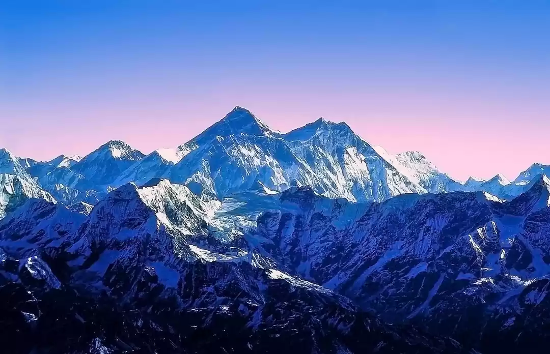
The bio-geographic features of the Himalayas are remnants of a period, over 100 million years ago, when a landmass separated from Gondwanaland and slammed into Laurasia. The phenomenon created the gigantic-folded mountains we know as the Himalayas. The plate tectonics, which are still in action, ensure an ever-changing and evolving bio-diversity in the Himalayan region.
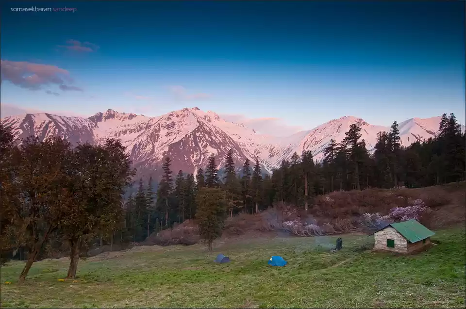
Established officially in 1984 as a national park, the Great Himalayan National Park is spread across a massive 1,171 square kilometre and gives shelter to more than 375 species of fauna, 31 species of animals (such as the Blue Sheep, Snow Leopard, Himalayan Tahr and the Brown Bear) and 181 species of birds.

Where: Kullu District, Himachal Pradesh. There are four valleys inside the National Park: Teerthan, Jiwa Nal, Sainj and Parvati.
How to reach: You can enter the park from either of the four valleys, but you will require a trekking permit and fees for doing so. Kullu is easily accessible via train, bus and flight (Bhuntar airport).
Trekking Routes: Sainj Valley: Neuli - Shakti- Lower Meadow Bridge in Homkhani Forest- Shakti
Sainj to Tirthan Valley: Neuli - Shakti - Dehl - Guntrao - Shilt - Gushaini
Gushaini to Parvati Valley: Neuli - Bhagi Kashahri - Subli - Dwada - Chippi - Pulga
Crossing Pin Valley: Shamshi - Barsheni - Kheerganga - Tunda Bridge - Thakur Kuan - Mantalai - Tariya - Mud - Kaza
The Pin Valley National Park is located within the Cold Desert Biosphere Reserve, which protects the high altitude Himalayan desert. Hosting some rare and unique bio-diversity, the Pin Valley National Park spreads from the south of Dhankar Monastery (near the Tibetan border) to the end of Spiti Valley. Its highest point is at a Kinnaur Village, Ka Dogri, at 20,000 ft.
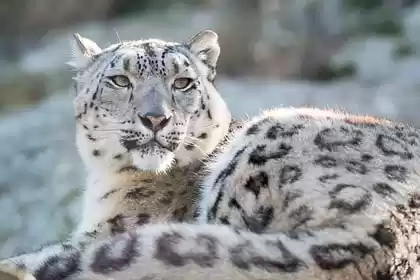
The high altitude desert provides a natural habitat to the endangered and elusive Snow Leopard. Along with the 'Ghost Cat', the national park also protects the Himalayan Ibex, groves of Himalayan Cedar and 22 endangered medicinal plants that are characteristic to the terrain.

Where: Lahaul Spiti District, Himachal Pradesh. Within this National Park, you have the Pin Valley and Spiti Valley.
How to reach: The best way to reach via road from either Manali through Rohtang Pass or through Shimla towards Kinnaur or Kalpa.
Trekking routes: Chandratal to Baralacha La: Batal - Chandratal - Tokpo Gongma - Tokpo Yongma - Baralacha La - Manali (by road)
Spiti Valley trek: Kaza – Kibber – Langza – Hikkim – Komik – Chemai Lepcha Pass – Demul – Lalung – Dhankar – Tabo – Kaza
Kibber to Mount Kanamo: Kaza - Key Monastery - Kibber (by road) - Kanamo Base Camp - Kanamo Peak - Kaza
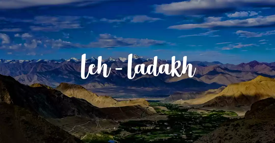
The largest national park of India, Hemis National Park, gets its name from the 400-year-old Hemis Monastery, which is situated inside the park. The monastery, and area around it, are mentioned in texts documenting the passage of the Silk Route. The few people who live inside the park are Buddhists who have been calling the place home for centuries.
The Hemis National Park has the highest density of Snow Leopards in the world. People from around the world spend weeks, months and even years for a sight of the 'Ghost Cat'. The national park is home to several other endangered animals, such as the Ladakhi Urial, Asiatic Ibex, Tibetan wolf, Eurasian Brown Bear and the Red Fox.

Where: Leh District, Jammu & Kashmir. The two main valleys inside the national park are Rumbak Valley and Markha Valley.
How to reach: Hemis is easily accessible from Leh, which can be reached directly by air (Kushok Bakula Rimpochee Airport) or through road from either Kargil or Sarchu (Himachal Pradesh). Once in Leh, take a taxi or bus for Hemis.
Trekking routes: Snow Leopard Trek: Zingchen - Rumbak Valley - spend over a week exploring Rumbak on foot - Leh
Lamayuru to Hemis: Lamayuru - Hinju - Sumda Doksa - Dung Dung Chan La - Chilling - Skiu - Markha - Thachungtse - Nimaling - Hemis
Hemis to Tsomoriri: Leh - Shang Sumdo - Lartse - Thachungtse via Kongmaru La - Thachungtse - Yakrupal - Zalung Karpo La - Khar - Dat - Yar La - Lungmo Che - Nuruchan- Gyamar Barma - Korzok (Tsomoriri Lake)
The Mudumalai National Park is a buffer zone to the Mudumalai Biosphere Reserve, and lies on the north-western side of the Nilgiri Hills. The protected area is divided into five ranges, namely, Masinagudi, Thepakadu, Mudumalai, Kargudi and Nellakota. The Western Ghats Nilgiri Sub-Cluster of 6,000 square kilometre includes the national park, together comprising a UNESCO World Heritage Site.
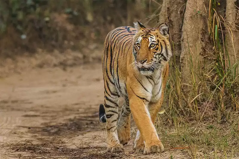
The sanctuary is home to several endangered and vulnerable species, such as over 300 species of birds, the Bengal Tiger and Indian Leopard. In total, the Mudumalai National Park protects 55 species of mammals, who are in higher density in the area due to the dry deciduous forest. Mudumalai protects 13% of all mammal species in India.

Where: Nilgiri District, Tamil Nadu. The sanctuary is divided into five ranges – Masinagudi, Thepakadu, Mudumalai, Kargudi and Nellakota.
How to reach: The nearest airport to Nilgiri Hills is Coimbatore, approximately 103 km from Ooty. There are several bus services to Coimbatore to Trichy, Bangalore, Madurai, Kanyakumari, Mysore and other major cities of South India.
Trekking routes: Nilgiri Hills: Ooty - Parsons Valley - Porthimund Lake/Parsons Dam - Mukurthi Dam - Pandiar Hills - Pykara Falls - Madumalai National Park - Masinagudi
Dhoni Hills: Palakkad - Dhoni - Malampuzha - boat to Malampuzha Dam - Emuur Bagawati Temple - Palakkad
The high-altitude national park located in the Uttarkashi, is a massive 2,390 square kilometre in area and protects an array of wild Himalayan flora and rare endangered fauna. The coniferous forest and a high number of glaciers are unique to the Gangotri National Park.
In the massive Gangotri National Park, 15 species of rare and endangered mammal species have been documented. The list includes the mighty Snow Leopard, Himalayan Black Bear, Blue Sheep, Himalayan Tahr and Himalayan Snowcock. But the most exciting characteristic of the national park is Gawmukh Glacier, the source of the holy river Ganga.

Where: Uttarkashi District, Uttarakhand. The Gangotri Glacier, considered the most important glacier in the universe by Hindus, lies in this national park.
How to reach: The best (and only way) to reach Gangotri is by road through the town Uttarkashi, which is some 150 km away from Dehradun.
Trekking routes: Kalindi Khal: Gangotri - Bhojwasa - Gawmukh - Tapovan - Nandavan - Vasuki Tal - Khara Pathhar - Shweta Glacier - Kalini Pass - Arwatal- Ghastoli - Mana Village - Badrinath
Gawmukh: Gangotri - Chaubari - Bhojwasa - Gawmukh
Vasuki Tal: Gangotri - Bhojwasa - Gawmukh - Tapovan - Nandavan - Vasuki Tal
Renowned as the largest protected area in the Eastern Himalayas, this hot-spot of biodiversity is also the third largest national park in India. Located in Arunachal Pradesh, this eco-region spreads through the eastern Himalayas covering Mizoram, Manipur and Kachin Rainforests. Namdapha National Park is also known to harbour the northern-most lowland evergreen rainforest in the world.
The biodiversity in Namdapha National Park is so dense that the study of species and their elaborate genetic variation is still not complete. Considered a botanist's dream, the national park is home to over 150 timber species as well as the endangered Blue Vanda and Pinus Merkusi, which are not found anywhere else in India. The mammals calling Namdapha their home are the Bengal Tiger, Snow Leopard, Indian Leopard and Clouded Leopard.

Where: Changlang District, Arunachal Pradesh. The national park is part of the highly protected and valued ecoregion of Mizoram, Manipur and Kachin.
How to reach: The nearest airport is Dibrugarh Airport in Assam, from where the national park is six hours away.
Trekking routes: Namdabha Rainforest Hike: Deban - Hornbill Camp - Fernbase - Bulbulia - Lisu Village - No-Dihing River - Deban
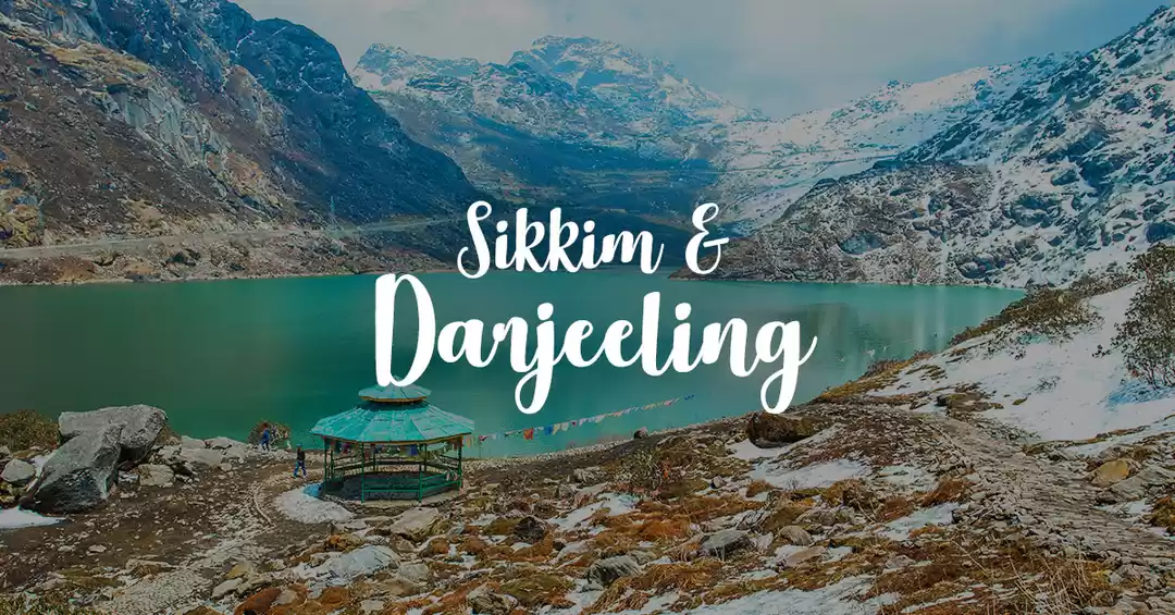
In July 2016, the Khangchendzonga National Park was declared a UNESCO World Heritage Site, making it the first Mixed Heritage (combining both natural and man-made) Site of India. The reserve is named after the mighty Khangchendzonga mountain, the third highest peak in the world (28,169 ft), which can be seen from certain trek trails inside the park.
Home to the Zemu Glacier and several others, the Khangchendzonga National Park protects the Himalayan treasures from the eastern side. The national park is also the natural habitat of Lepcha tribe, who continue to dwell within the protect area zone.

Where: North Sikkim, Sikkim. With an area of 849 square kilometre, the national park also spreads into the West Sikkim District.
How to reach: Nearest airport to Gangtok is Bagdogra in Siliguri. The nearest railway station is New Jalpaiguri in Siliguri, situated 124 km from Gangtok.
Trekking routes: Dzongri: Gangtok - Yuksom - Tshoka - Dzongri -Tshoka
Goechala: Yuksom - Bhakim/Sachen - Tshoka - Dzongri via Phedang - Dzongri Top and back to Dzongri - Thansing via Kockchurang - Thansing - Lamuney - Goechala
The story of Keoladeo Bird Sanctuary goes back to a time when the ruling British viceroys would hunt birds in the area by avocation. Over 4,500 birds were killed in a single day, bringing the nature conservationist Salim Ali to tears. He begged the then king to declare the forest a bird sanctuary and prohibit hunting altogether. The king agreed and named the sanctuary after a naturally occurring shivling found inside the park, called Keoladeo.
This man-made and man-managed wetland is home to 366 bird species, 379 floral species and 50 kinds of fish. During the migratory season, the species of birds increase and become a sight that attracts birdwatchers from all around the world.

Where: Bharatpur, Rajasthan
How to reach: The Bharatpur Railway station is 5 km from the national park and the nearest airport is in Agra (56 km). And you can always drive here from Delhi, which takes only four hours.
Trekking routes: Walking safari within the national park.
Situated in the unexplored terrains of Kalimpong Hills, the untouched natural forests and dense bamboo groves of Neora Valley give shelter to several endangered species that are protected in this area. The canopy of rhododendron trees provides a great path for trekkers who wish to explore the picturesque Neora Valley on foot.
Living in this pristine and undisturbed habitat are the rare Red Pandas. The endangered specie is protected in the dense forests of Neora, making it one of the few remaining natural habitats for the animal.

Where: Bangal, Darjeeling District, West Bengal.
Trekking routes: Rachela Rodhodendron trek: Samsing Fari - Tongtongay - Tiger Camp - Rachela - Tangta Todey
The Desert National Park in Jaisalmer is one of the largest national parks in India, spread across 3,162 square kilometre, with sand dunes forming 20% of the area. The national park protects the ecosystem of Thar Desert, combined with salt lake bottoms and rocky land forms.
This fragile ecosystem serves as the natural habitat to several bird species, combining both resident and migratory birds. Eagles, falcons, harriers, buzzards and vultures are amongst the very many who help in sustaining this 180 million-year-old habitat. In fact, 6 million-year-old dinosaur fossils have also been found in the area.

Where: Jaisalmer, Rajasthan
How to reach: Once you reach Jaisalmer, you will have to take a taxi from the (bus or train) station or airport, that takes you straight to the national park.
Trekking routes: Sam Dunes Trek: Kharara Camp - Sam Sand Dunes - Beeda Fanta - Sudasari Camp- Barna - Jaisalmer
The Champhai District of Mizoram, where Murlen National Park is located is also where the Lengteng Wildlife Sanctuary is located, making it a rich bio-diverse ecoregion. The sub-montane and semi-evergreen forests of Murlen are so dense that only 1% of sunlight is able to penetrate the jungle. The Murlen National Park is compared to the Amazon region of South America, because of its dense network of trees that date back to 350 years.
The forests are Murlen are exceptionally rich in variety of flora, including medicinal plants. There are over 35 species of medicinal plants, two species of bamboos and 150 species of birds that are spread around the 100 square kilometre area. It also protects endangered species such as the Bengal Tiger, Malayan Giant Squirrel and Himalayan Black Bear.

Where: Near the Myanmar border, Champhai District, Mizoram.
How to reach: Aizawl is the nearest city to the national park. The nearest airport is the Aizawl airport, the closest railway station is in Manu, from where the city is 71 km away.
Trekking routes: Caving trek: Aizawl - Vaipuanpho - Ailawng - Caving (10 kms) - Hawlhhah - Nghalchawm - Sihhmui
Share your favourite travel story with Tripoto by clicking here, and enter the world of wanderloving!
Frequent Searches Leading To This Page:-
7 Days Tawang Tour, Arunachal Pradesh Customized Holidays Tour, arunachal pradesh tour itinerary, best itinerary for a 7-day trip to Arunachal Pradesh, 6 nights Best of Darjeeling


