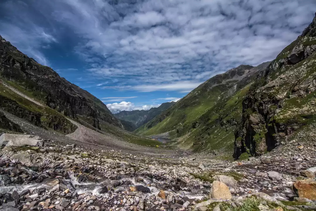
After conquering few forts in the Sahyadris, I decided to go one step further (technically several kilometres further :P) and trek the Himalayas. As always, my thought was followed by tons of research and brainstorming with my fellow wanderer. I wanted to go for a trek which is beautiful but not too difficult (considering my limited experience in this activity). We finally zeroed down on Hampta Pass trek.
About Hampta Pass trek: This is a trek connecting two lovely valleys in Himachal Pradesh - Kullu and Spiti. The trek route spans across scenic landscapes such as snow-capped mountains, gushing rivers, glacial valleys, and lush meadows. It takes about 4 days to complete the trek, and many trek organisers add one more day to include a visit to the beautiful Chandrataal, a high altitude alpine lake. After some more research and analysis, we registered for the trek with one of the organised groups.
Mumbai - Chandigarh - Manali:
Our trek was to start from Manali. We took a flight from Mumbai to Chandigarh, where once again, our generous friends (who had accommodated us at 4.30 am when we were returning from Ladakh) showered us with their hospitality. Vijay and Seema, we can never thank you enough for your kindness! We spent the day with them, enjoying yummy Punjabi food, and then left for Manali by a private bus at night. Chandigarh-Manali takes about 10 hours; we reached Manali at around 9 am the following day, and checked into Hotel Shandela for the day. It is a nice hotel, reasonably priced, with all basic facilities in place, and a very helpful manager, Mr. Nayan Singh. We spent the afternoon roaming around Mall road, and went for our scheduled briefing with the trek lead in the evening, held at Manali Nature Park. Manali Nature Park is not a well known tourist spot, or even a landmark (locals were unaware!), but it is quite a nice place, with a nice view of Beas river and lots of trees and greenery around.
The briefing turned out to be quite a learning experience. We learnt the origin of names of some places - Manali, Hampta, Rohtang, etc, and some do's and don'ts for the trek. Our trek lead also demonstrated what to pack and how to pack for the trek (which meant after returning to our hotel, we had to redo our entire packing!) After the briefing, we visited Hadimba temple and dined in Old Manali, before retiring to our hotel. Old Manali has several cafes, and we visited River Music cafe, as it was closest to the river. The food was good, and dining next to the flowing river was a serene experience.
And the trek begins...
Day 1: The entire team (26 trekkers and 2 trek leads) met at Rambagh Circle at around 7 am, boarded cabs and started off towards Jobra, which was about 1.5 hours away. The route to Jobra consisted of 40 hairpin bends, and is lined with pine trees. It provided a beautiful panoramic view of Kullu valley as we proceeded towards Jobra.
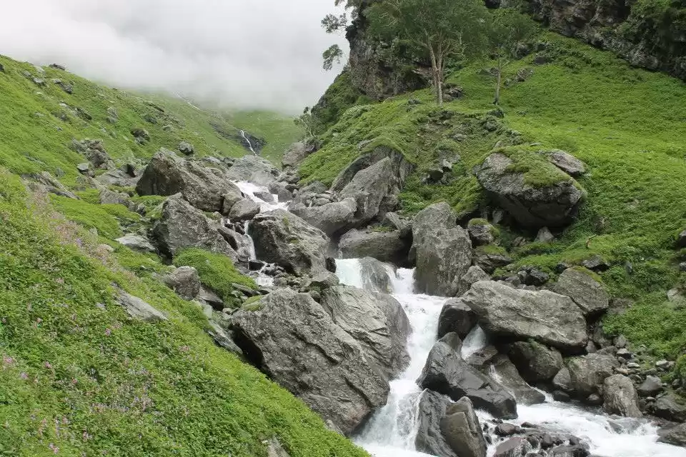
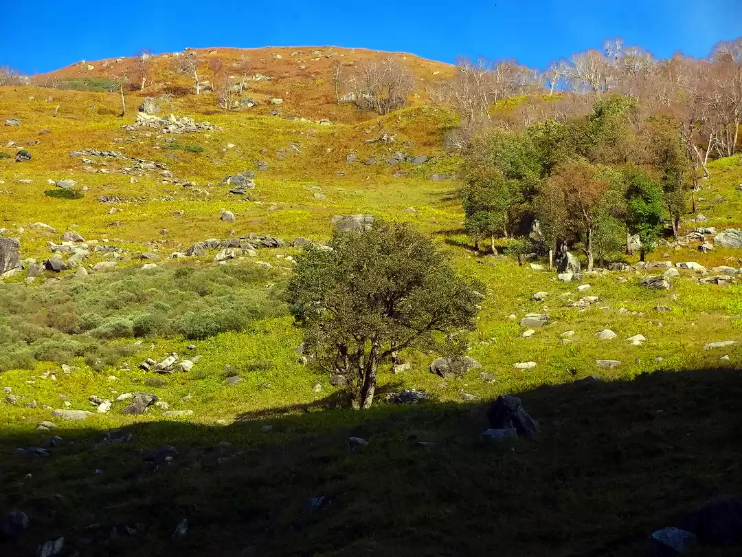
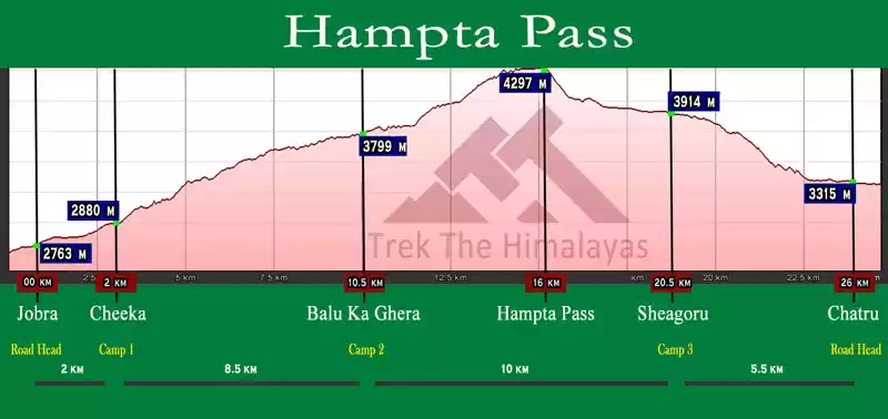
Upon reaching Jobra, we had already gained some altitude and were at 9,800 feet. Our task for the day was to trek 4 km in 4 hours, from Jobra to Jwara (our campsite for the night). Our trail took us through the forest for about half an hour, followed by a lush meadow of Chikha. The Rani Nullah comes into view and flows directly in between the meadow.
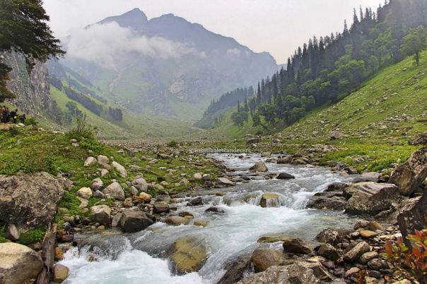
There was a wooden bridge, which could be crossed by one person at a time, and it was fun crossing it. We continued on the left bank of Rani Nullah, and the climb was mainly through stones and boulders. After heading towards the river, we took off our shoes, formed a human chain, and crossed the icy cold water!
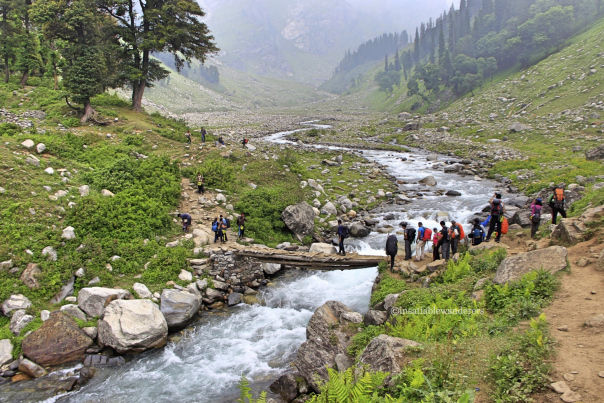
The trek was tougher than I had anticipated, in terms of terrain. We reached our campsite, which was at an altitude of 11,000 feet, and spent the rest of the day getting to know one another and playing team games.
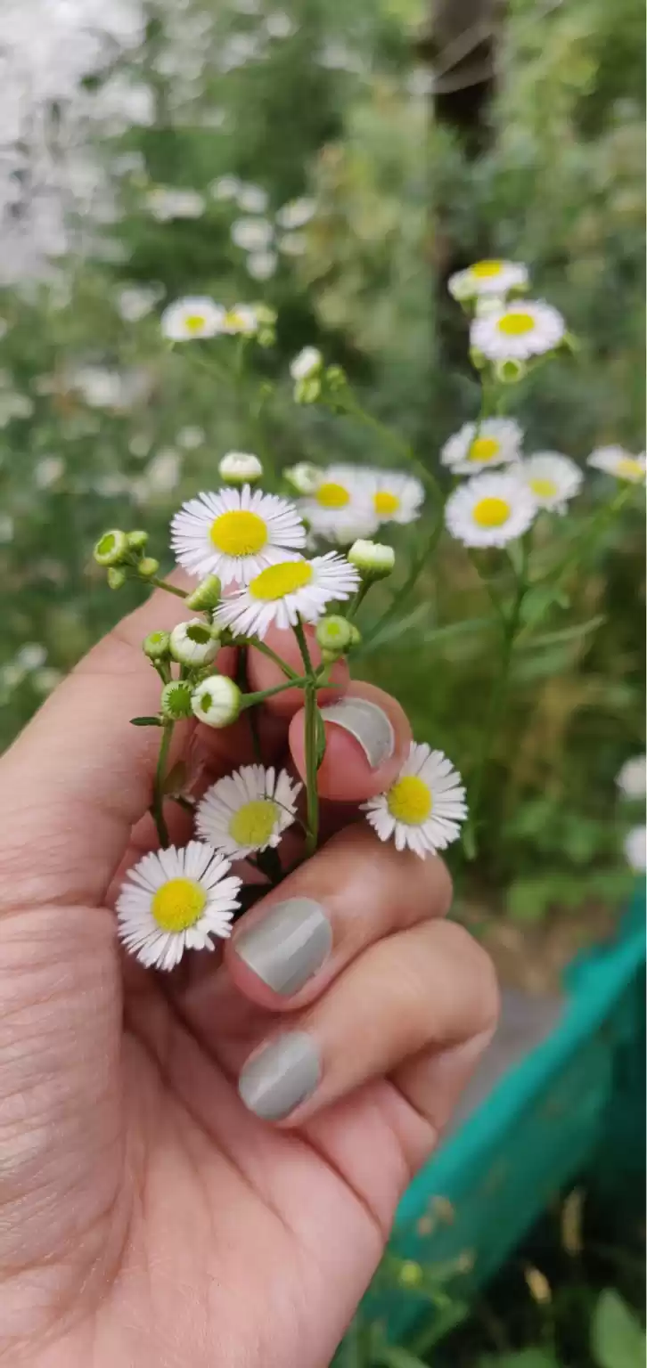
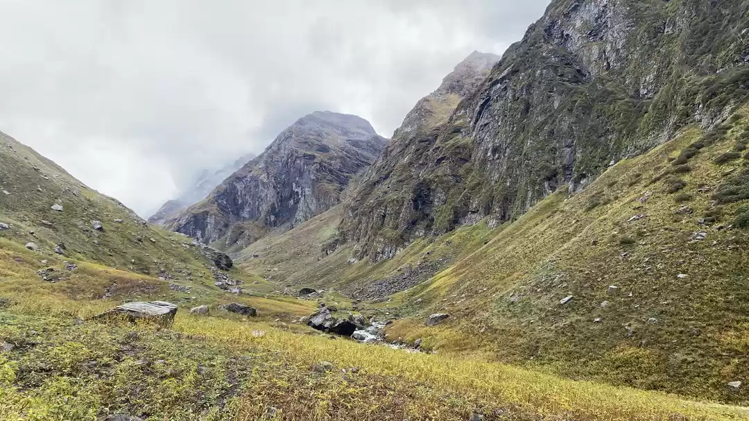
Day 2: The next day we started off towards Balu ka Gera, our next camp location. This was a short acclimatisation trek to prepare us for the following's day ardous trek to Hampta pass. Balu ka Gera means mound of sand, and is said to have been formed by sand and dust brought by the river; thus, the name. We covered around 5 km in about 4 hours, and reached an altitude of over 12,000 feet. I found the terrain much better to traverse than the previous day. It was dotted with beautiful tiny pink and yellow flowers around the campsite. We could see Mt. Indrahsen peak on our left and Hanuman Tibba on our right. We could also see the ledges of rocks going up to the Hampta pass giving us a feel of the next day's adventure.
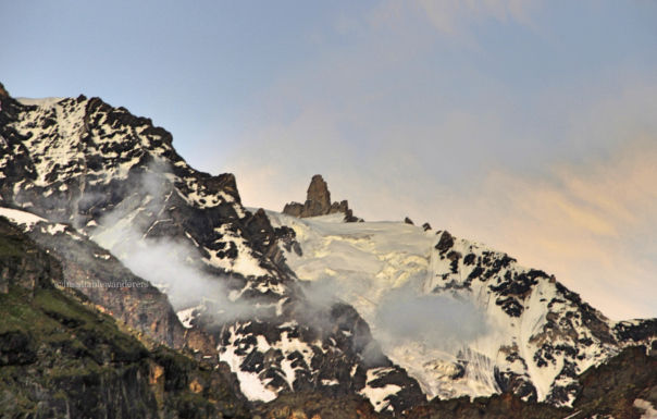
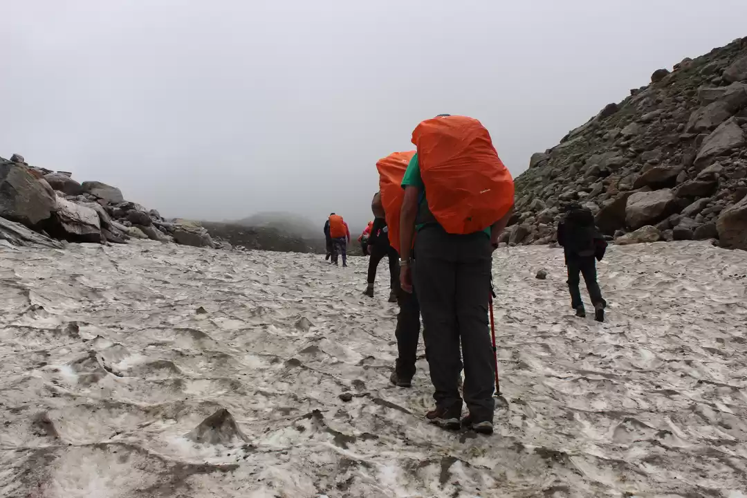
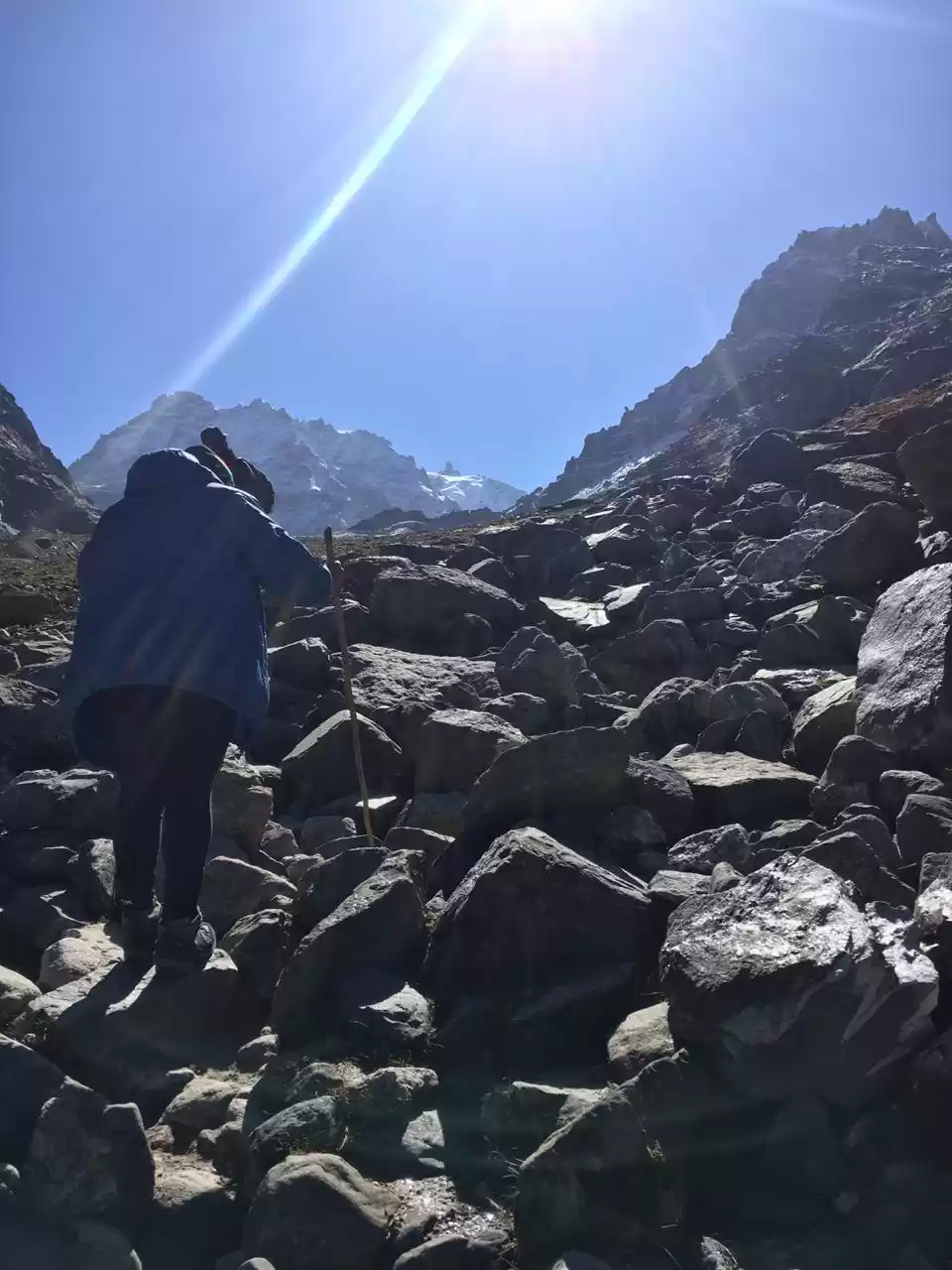
Day 3: This was the D-day...the day of the summit...the day we would actually cross Hampta Pass. Our target was to cover a distance of almost 10 km in not more than 10 hours - from Balu ka Gera to Shea Goru via Hampta Pass. Needless to say, this was also the most taxing day, with pressure to reach our destination within the scheduled time, declining oxygen levels as we gained altitude (we were going to reach about 14,200 feet!), and continuous ascent (which really tested our stamina). The climb to the Pass is moderately steep with some patches involving ascending on snow.
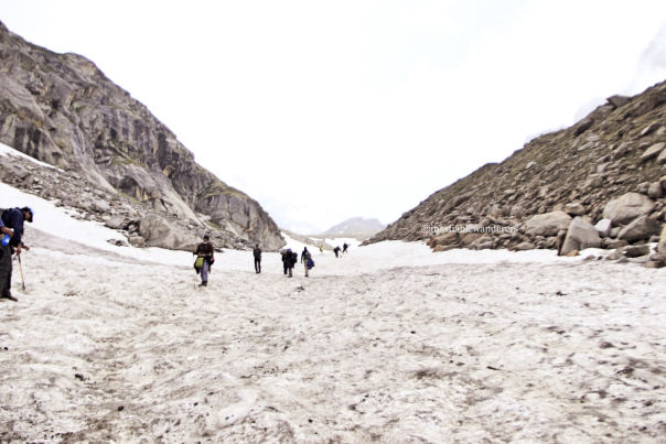
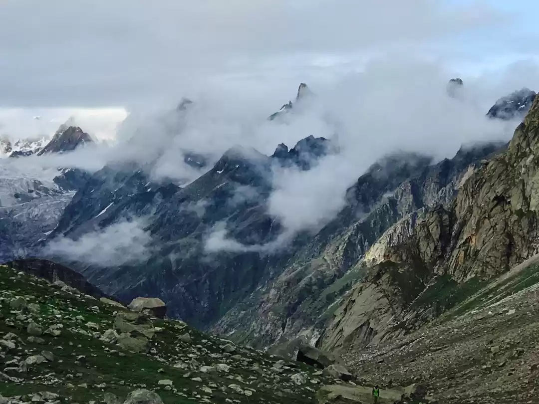
But all our challenges were overshadowed by the sheer beauty of the trail, going through valleys, climbing rocks, watching the river flowing below, and even walking on snow!
After climbing for some time. we could see Deo Tibba from the plateau. Reaching the summit was exhilarating! We spent some time at the Pass, catching our breath, clicking loads of pictures, and of course, feeling proud of ourselves.
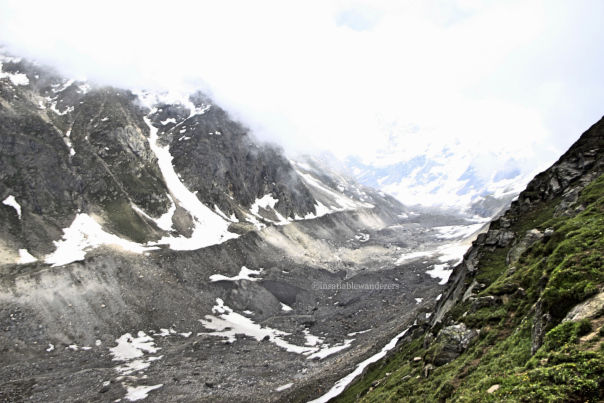
The second part of that day's trek was mainly descent. And that is when we entered into Spiti valley. Our trail included steep rocky patches on the way, where we had to be careful. As we neared our campsite, we came to a snowy slope. And what better way to descend on snow than sliding!???? For me, this was the best part of the entire trek.. sliding on the snow like a kid!!
The rest of the day was spent relaxing in our tents and clicking pictures at the riverside. We were camping at Shea Goru, which means 'valley of snow'.
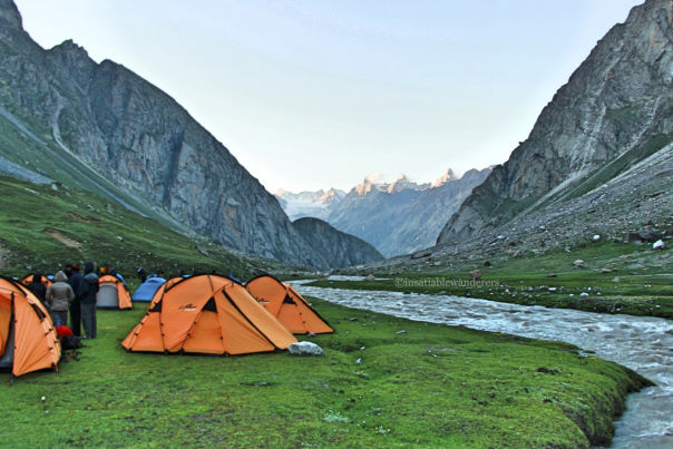
Day 4: Having completed the main part of our trek, we were visibly relaxed on day 4. However, the start of our route for the day shook us from our self-congratulatory mode as we had to walk bare-feet across a cold river (We were in the valley of snow after all!). We made a human chain and slowly crossed the freezing river. By the time we got to the other side, our legs had become numb. We spent few minutes spot-jogging and then set off on the last leg of our trek. This was mostly descent, and we could see Chatru road at a distance from the peak. We were moving along the Chandra river. Crossing the last glacier, and after about 4 hours, we reached Chatru, our last camping location.
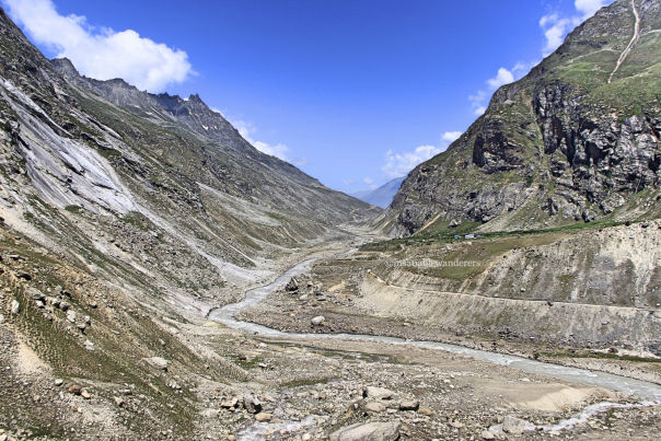
From Chatru, we took cabs for Chandrataal, which was ~70 km away. Camping was not allowed at Chandrataal, hence we had to return to Chatru by evening. It took us about 3-4 hours to reach, due to bad conditions of the road. Vehicles are allowed only up to a certain point, after which we had to hike for about 10-15 mins to reach the lake.
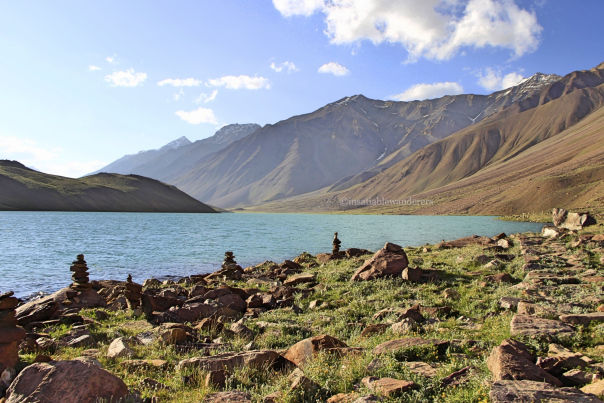
The lake was beautiful, and we spent some time enjoying the cool breeze, before heading back to our camp.
Day 5: On the last day, our efforts were recognised in the form of completion certificates :) Thereafter, we spent some time with the team, and then boarded cabs which dropped us at Manali, signifying the end of our adventure.
Special acknowledgement:
We would especially like to acknowledge the efforts, help and guidance of our trek leads - Soumya Mitra and Tanmay, and our trek guides - Sunil and Ravi, without whom we could not have completed the feat. All of them have abundant knowledge about the Himalayan region, and a lot of experience in trekking, which they shared with us throughout the time spent together. They expertly guided us through the difficult terrain and also taught us a lot about camping, pitching tents, using sleeping bags, rescue operations, etc. And of course, the support staff, including the wonderful chefs who prepared delicious meals for us (would you believe they prepared gajar ka halwa and cake right there?!) Thanks a ton all of you! :)
Manali - Chandigarh - Mumbai:
We stayed in Manali for a day (again, in Hotel Shandela), and had lunch in a small restaurant called Mom's Kitchen. True to its name, the food tasted home-made and delicious. In the evening, we went to explore Old Manali. This area has lots of lodging options (with rates as low as Rs. 300 per person per night). As mentioned before, there are several cafes here, serving various cuisines. In most of these cafes, the day's special was fresh trout. Many of the cafes also have live music performances. We dined in People's Cafe, ordering fresh trout, and it was delightful.
Next morning, we went shopping for souvenirs on Mall road, Model town, and Ibex market. In the evening, we took a bus to Chandigarh, and finally a flight back to Mumbai, home sweet home.
Tips and tricks:
- First things first. Contrary to what is mentioned on some websites, Hampta Pass is NOT a beginner's trek. At least not for someone who is altogether a stranger to trekking or any other regular fitness training. To be able to cover Hampta Pass somewhat comfortably, please be physically (or at least, mentally) prepared for the long hours, tough terrain, and fatigue. If possible, work on your physical fitness before embarking on this trail.
- Pack very very light. Take only bare necessities with you. Do not pack for 'if' situations.
- You can plan on your own, but would still need a guide to show you the way through the mountains and valleys (we did not come across any locals whatsoever during the trek). Plus, there are some permits involved. So it is advisable to book through a trekking group. (We had chosen indiahikes and were happy with the experience, but I have not tried other groups yet, so I'll reserve my comments).
- Respect the mountains and maintain cleanliness please. We had gone a step further and carried 'eco bags' with us, collecting non biodegradable waste (wrappers, plastic bottles, etc.) left behind by others.
- Trust your trek leads/ guides and discuss all issues with them. They know it best.

