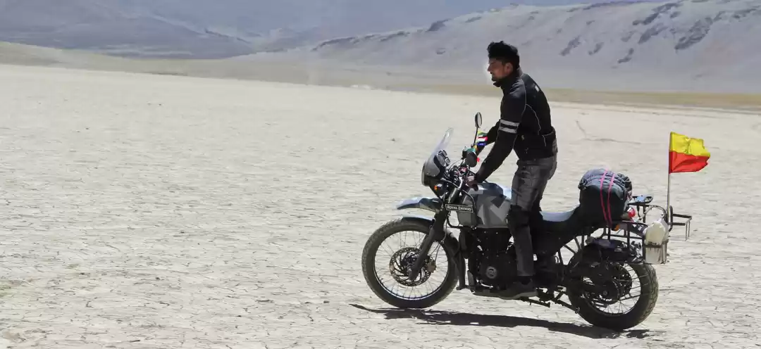
I am not exactly the kind to sit and write nor am I that good with words or sentence making. I am better off out exploring things than wondering how to put it in words. After repeated requests from friends to write a travelogue I told myself that if there was something I could do to inspire or help someone go out, live and explore this wonderful world.. why not give it a try?
Not so long ago days were lazy and nights were easily forgettable - you couldn’t have imagined then that traveling would someday become such a big part of me. I don’t remember what came over me but before I could realize it I was hooked .. addicted to being on the look out for something new all the time. Suddenly I went on from being content to being an unsatisfied and a curious soul. For me traveling is not just about point A and point B. A and B are just like the day you were born and the day you will die; what you really live, remember and take with you is the distance between A and B. So I would rather cover that distance slowly, realize each step that I take towards B rather than rush into B. So I make sure I travel as much as I can un-motorized, without any man-made motorized mode of transport. I try to keep my travel as raw as possible but sometimes there are shortcomings and I end up hitchhiking. The challenge is to develop immense stamina and physical strength to keep up with tough terrain and the amazingly beautiful but merciless landscapes on foot or by bicycle. But preparing yourself for such a challenge is a constant process as we all know “Rome was not built in a day”.
It was in early 2009 that I seriously got into cycling, swimming and running marathons, not because I wanted to be some kind of an athlete but in order to develop the mental and physical strength required to travel raw in the most primitive manner of traveling that the man has known. You never know what challenges a journey holds for you. So I want to be prepared for everything: Water, Land and Air. My dream is to be able to completely use my own strength and courage to traverse across. I am still miles away from achieving something like that but that’s for me to keep trying and accomplish someday. After spending couple of years cycling, swimming and running various marathons, doing a decent amount of distance and getting used to the pain (where after a point the body gets numb of the physical pain and agony converts to an out of body experience, you would understand what I am talking about when you do it for yourself :)), I decided it was time I started my first expedition the way I always dreamt of. At first I thought of doing it solo without any help from anyone. Then I had my share of inhibitions about it, I was not sure if I should really go solo as the destination I had in mind was well known for its unpredictable nature..
The Land Of High Passes
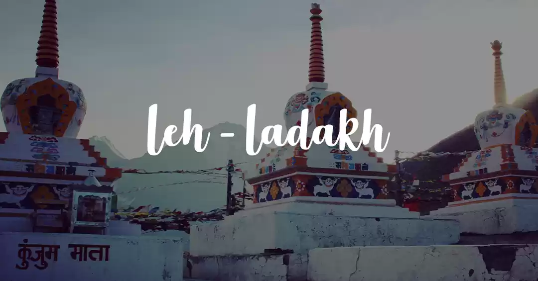
“LADAKH”
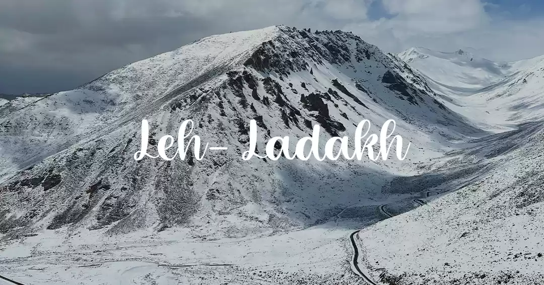
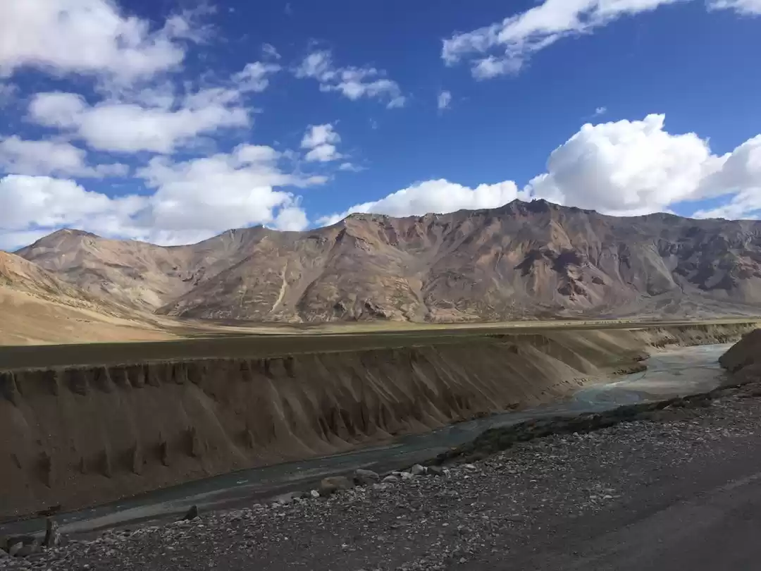
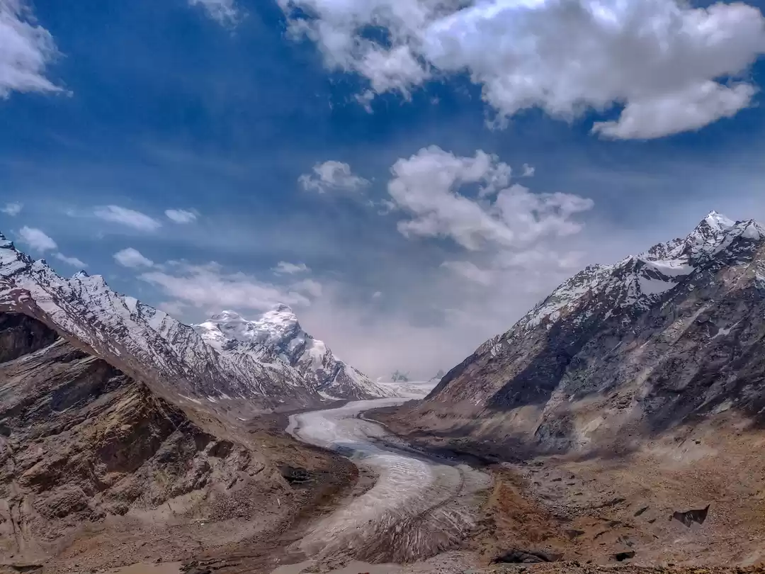
Fantasy and reality, it’s a place which makes you realize both. The forces of nature conspire to render a magical unrealistic landscape, a landscape of extremes. With its desert and multicolored waters, burning sun and freezing winds, glaciers and sand dunes,small villages it takes you into the world of fantasy and its harsh weather , frostbites, sunstrokes get you back to reality in a wink. Such is the irony that Ladakh is the only place in the world where you can get a sunstroke and a frostbite at the same time. At an jaw dropping altitude from 9000 ft to 25170 feet, Ladakh is a land like no other. This land is the bridge between the earth and the sky!
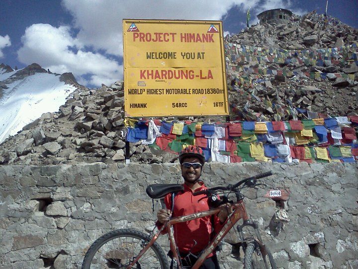
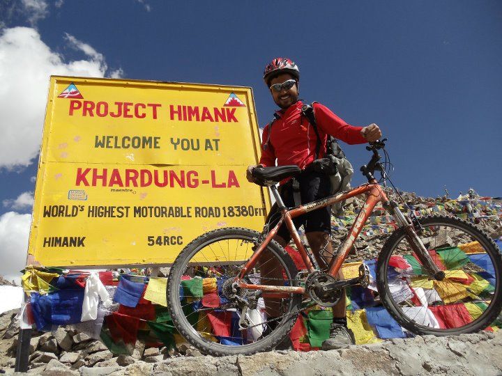
So here I am after 8 months and 13 days, standing exactly under that sign board, holding my cycle (not exactly above my shoulders but almost). :)
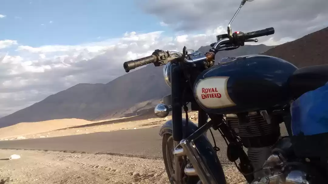
22nd August, 2011. Sitting at 18,380 feet above sea level, “Just Breathe” a song by Pearl Jam playing in my ears, sipping some local tea, looking at people being overjoyed, clicking pictures, tired and exhausted but ecstatic at having reached this point on their gas guzzling bullets and SUVs. Slowly the thought that my trip from Manali to Khardungla: 500 odd km, 13 days of a grueling but spectacular journey has ended now sinks in. There is a feeling of sadness that creeps into my heart, tears roll down my eyes. I am happy at being able to achieve something that people thought was humanly impossible but sad at the same time that I have to go back to the concrete jungle, lose myself again in the crowd.

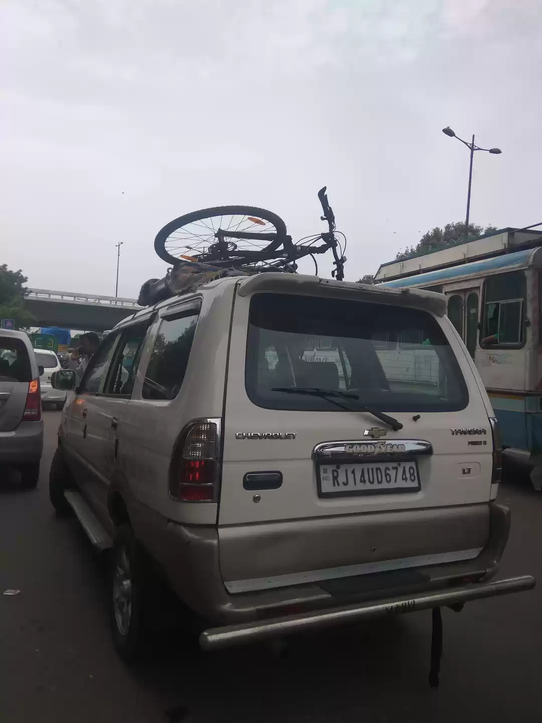
10th August 2011. Jagadish and I start our journey to Manali from Bangalore. Jagadish is an old colleague of mine, a nerd of the highest order ;), who thinks that life beyond wireless network is wired network. Actually we both developed an interest in cycling together though I ended up cycling and running more often than he did. Well, I don’t blame him “once a nerd, always a nerd” ;) but jokes apart he is an awesome guy. I wouldn't have been able to accomplish this adventure without his help and moral support.
So we plan out our training and Jagadish gets back to cycling regularly and is a little confident about the whole trip by now. We train for around 4 months together .. Cycle, run, swim .. Discuss about the trip, the routes, possible situations that we might have to face. We chalk out everything. We learn how to repair our cycles, fix a tent, everything we could think of that would be handy in the trip.
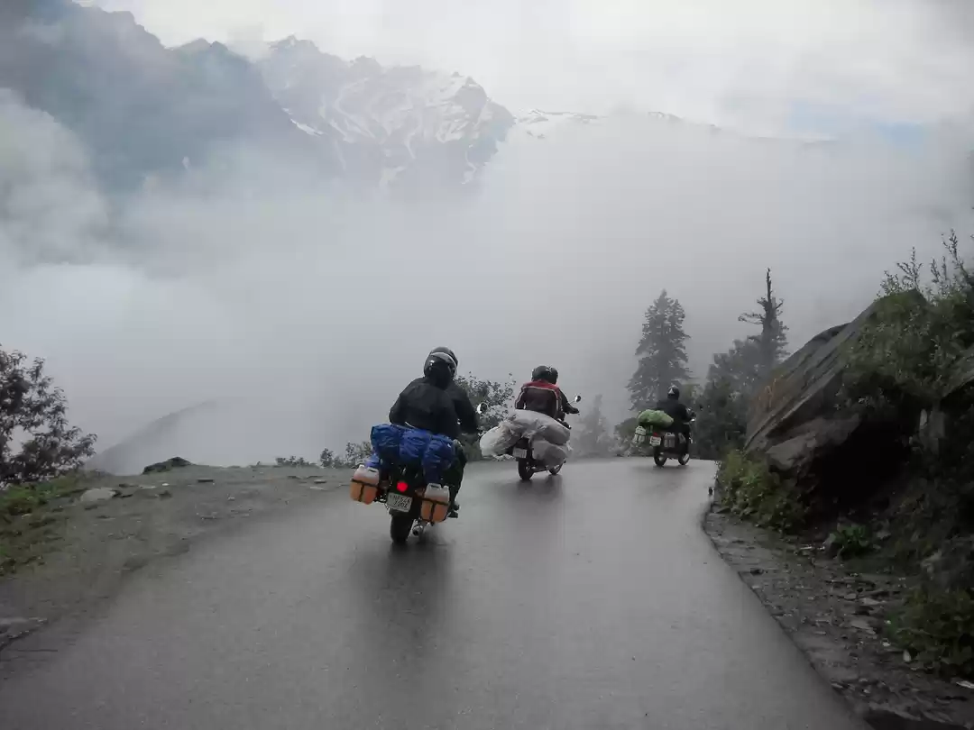
The rain gods are in no mood to stop pouring and we spend the rest of the day sleeping and eating as we know we would set out the next day for sure, come rain come shine.
As we make our journey I will keep sharing pictures and small facts about those places to keep the read interesting rather than boring and drawn out.
We start our journey from Manali and I’ll take you through the journey to Khardlungla :
Day one:


Darcha - Sarchu (84kms): Roads are mostly in bad shape and as the altitude increases, you might start noticing the first effects of Acute Mountain Sickness. It is advisable to take it easy and not over stress yourself, especially at the summit of Baralacha La, 16,500ft. From Baralacha La it is again a downhill but a rough ride till Bharatpur, after which the road condition starts improving gradually as you approach Sarchu.
Sarchu, at an altitude of 14,000ft, is a collection of tents and a military base. Even though it is quite a windy place and high in altitude, it is the preferred night stop for most travelers. You will need to register at the check post in Sarchu before proceeding further.

Sarchu - Pang (80kms): Roads from Sarchu till the start of Gata Loops are in good condition and the progress is fast.
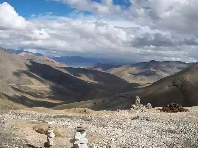
Gata Loops are a collection of 21 loops that take you to an altitude of 15,302 ft, roads in the loops are in a not so good condition and the slow moving trucks leaving clouds of thick smoke make the ascent feel tougher than it actually is.
Next up is the third pass on the Manali Leh route, Nakee La, 15,547ft. While a few km down the road is Lachulung La pass situated at an altitude of 16,616 ft.
Pang - Upshi (125kms): The road from Pang will take you to the famous Moore Plains; situated in a plateau, you will be hard-pressed to believe this relatively flat piece of land is located at an altitude of 15,400ft. Roads here are relatively straight and in good condition, inviting you to indulge in speeding. But don’t! Road is quite bumpy.

Upshi - Leh (55kms): A small break for a cup of tea/coffee at Upshi to unwind is recommended before you continue your journey on the Manali Leh highway to reach Leh,

Hemis Monastery:
Hemis Monastery is the largest monastic institution in Ladakh. It belongs to the Drukpa Lineage or the Dragon Order of Mahayana Buddhism

Thiksey Monastery:
Thiksey Monastery is located 19 km from Leh, the capital town of Ladakh Himalaya. It is situated on a hillock overlooking the Indus Valley with full face view of the magnificent Stok range.

Pangong Tso Lake:
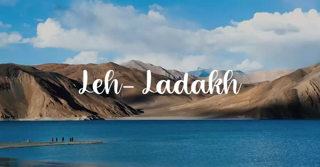
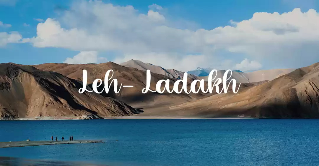
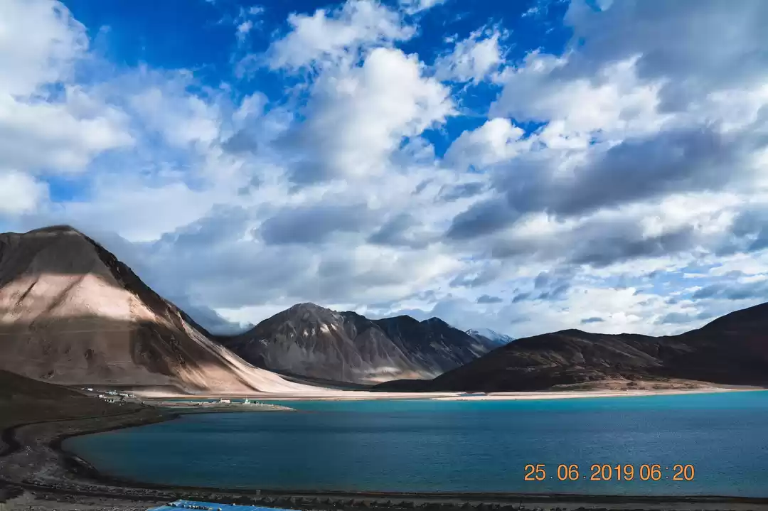
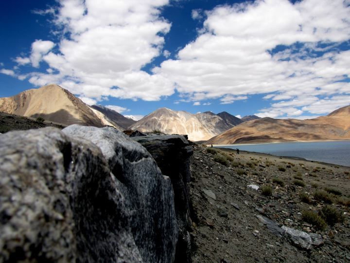
Pangong Lake or Pangong Tso (Tso:Ladakhi for lake) is a high altitude brackish/salt water lake situated in the himalaya at a height of about 4,350 m (13,900 ft). A third of the lake lies in India while two thirds of the the lake lies in China. The lake is supposedly 5 km wide at its broadest point.
Pangong Tso is about five hours drive from Leh, most of it through spectacular valleys. The road also traverses the third-highest pass in the world, the Changla pass, where army sentries and a small teahouse greet visitors. A special permit is required to visit the lake.

Khardung la:

Khardung La is a high mountain pass (elevation 5602 m) situated 37 km by road North of Leh.
It is the gateway to the Nubra and Shyok Valleys.
There are two police check posts on either side of the pass, South Pullu and North Pullu. You will need an Inner line permit to cross or visit Khardung La. The permits can be procured from the District Commisioners office in Leh. Make sure to have photocopies of your permits (at least 6), as each checkpoint needs a copy to be deposited with them. Weather is pretty volatile here, build up of snow will leave the pass unusable from several hours to days.
Due to its sheer height, the pass gives you jaw dropping views of deep valleys and narrow twisting roads and high altitude traffic jams.
Make sure to have a cup of high altitude tea at South or North pullu and a bowl of hot tasty Maggi.
I complete the climb from Leh to Khardungla which is around 40 + kms in 7 hours. It is a hot, dry day so I stock myself with enough water and food. Jagi accompanies me till some 19 kms and returns to Leh as he gets altitude sickness. So I have to do this alone, all by myself. As the day progresses, it gets really hot and dehydration starts creeping in. I say to myself constantly that I have to do this. I keep taking breaks sitting beneath rocks and telling myself what it would be like on the top. Imagine myself in that picture that I saw 8 months back. I have put a lot into this physically, emotionally, mentally ... I am not going to give it up that easy. I keep going. Some 6 kms before the pass Khardlungla my derailleur gives up and I constantly have to get down and fix the chain which keeps popping out in order to keep moving smoothly. Dehydration and now a broken cycle but there is no way I am giving it up because of all this. 7 hours into the ride and I make it to the top.


