After incessantly nagging Travis about taking a daytrip to Kelowna to cycle the Myra Canyon, I finally convinced him that this course of action was the best way to spend his one and only day off work for the week. Rising just after 6:00 am we managed to get all our gear packed into the back of our SUV while still half asleep and hit the road.
Logistics: As a provincial park, entrance to Myra-Bellevue is free. Bike rentals are available at the East entrance. The park has a few pit-style outhouse toilets as well as a number of benches scattered along the trail which are great for a rest or picnic lunch. Due to the park’s high elevation, the temperature here tends to be a few degrees cooler than in the city, therefore dressing in layers is recommended. Visitors should pack plenty of water as it’s easy to get dehydrated while hiking or biking. The best time to visit the park is during the warm summer months from midway through June until September. To keep up to date on closures and events in the park visit the BC Parks website.
Regardless of how you plan to take on the Myra Canyon trail, the trestles and tunnels, combined with the stunning scenery, are incredibly unique and unlike anything else you’ll see in the world. As far as day trips go, this is one you won’t soon forget.
This trip was first published on Have Blog, Will Travel.
A subsidiary of the Canadian Pacific Railway, the Kettle Valley Railway operated in the Thompson-Okanagan region of British Columbia, and provided a much needed rail link to the coast and Vancouver for the cities of Southern BC. The line initially opened in 1915, however portions of the railway were abandoned as early as 1961 due to washouts and a decline in traffic. All rail service stopped from Midway to Penticton, through the Okanagan and the famed Myra Canyon section of the line, in 1973, with the final segments of line falling into disuse in 1989. Today much of the railroad’s original route has been converted into a recreational trail, known as the Kettle Valley Rail Trail. With its relatively gentle grade, the line has become a hiker and cyclist haven. For some reason, prior to our visit, I was under the impression that the trail was 8km in length (16 km round trip) however after cycling for an hour or so we realized this portion of the Kettle Valley Railway stretches for 12km between the park’s East and West entrances, making for a 24 km round trip. Although quite a bit longer than we had bargained for, we were still able to finish the loop in two and a half hours of cycling – which includes more than a few interruptions to stop and take photos. I’d recommend that new visitors allow 3-4 hours to cycle the trail, and 6-7 to walk. However by no means do you have to complete the entire loop to have a great experience. Entering from the east, it’s possible to cover multiple trestles and the first of two tunnels in only a few kilometers, making it a good option for those under tight time constraints. Alternatively, using a shuttle service or a friend from the area, entering from one end and getting picked up at the other would eliminate the need to turn around and backtrack. As the trail incorporates the same path the old railway lines once laid on, the ride (or hike) only consists of a 4% grade in the steepest sections, and this makes for a very pleasant bike ride. It also means that the trail is perfect for people of any biking level – we saw everyone from kids to seniors making the ride.
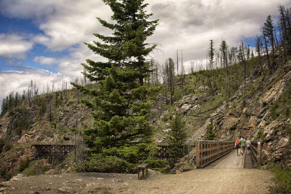
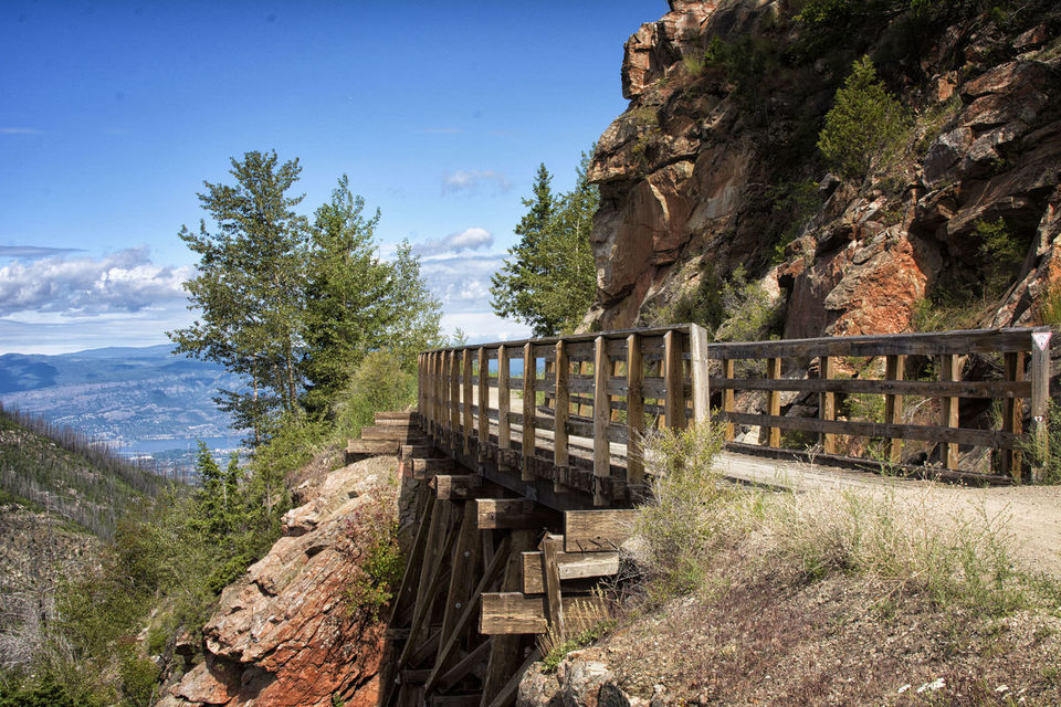
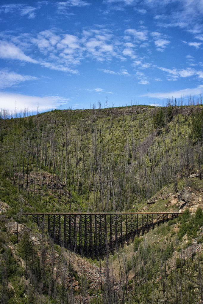
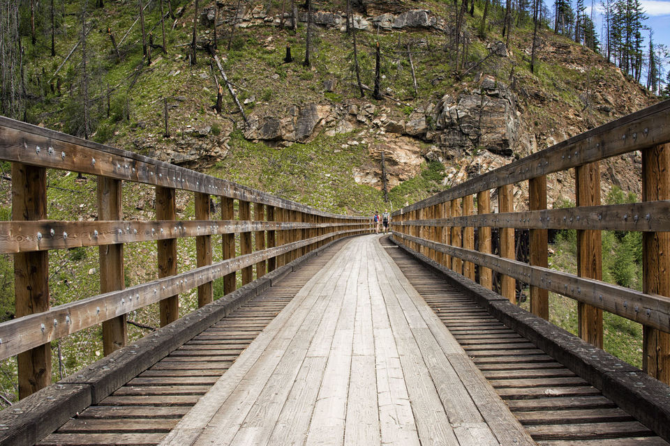
Featuring 18 trestles and 2 tunnels that traverse the deep canyon, the Myra Canyon section of the Kettle Valley Railway not only one of the most impressive parts of this historic railway line, it’s also easily accessible from the city of Kelowna, BC – a major hub in the Okanagan region – making it an ideal daytrip for locals and visitors alike. The area was also designated a National Historic Site of Canada in 2002.
From downtown Kelowna, the Myra-Bellevue Provincial Park is a short 25 minute drive up into the surrounding hillside through rolling vineyards and past several amazing lookout points. The road is partially paved, while the last eight kilometers are grated dirt road and quite rugged. As such, a vehicle with a higher clearance is recommended (our SUV worked well). Although we did see many cars make the trip, slower driving is a must to ensure you don’t bottom out on some of the bigger potholes. As for signage, the road is clearly marked with blue signs directing visitors to the Myra-Bellevue Provincial Park and making navigation simple.
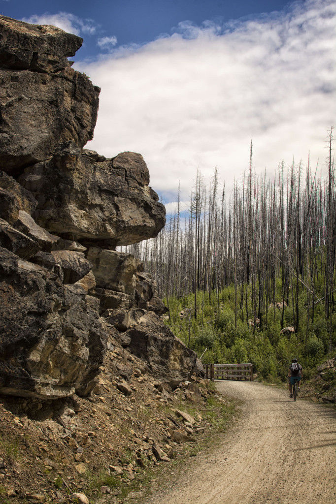
Upon arrival at Myra-Bellevue we had a decision to make, pull into the first park entrance (West) or deal with the dirt road for a few more kilometers to access the second entrance (East). We opted for the East entrance, only because I vaguely recalled a recommendation in my pre-trip research. This worked well as there are numerous wooden trestles immediately upon entering the trail from this end. The East parking lot is also quite large, making it the best bet for peak-season summer visitors. In the end either entrance will get you into the park, so it’s not something to really worry about too much. Don’t panic if you see the entrance signs and don’t know what to do, either option will get you to your goal. With numerous trestles, tunnels, and some incredible views of Kelowna and the surrounding hillside, the park is incredibly scenic and there is always something to grab your attention. For me, the dry, desert sections of the trail felt like I was pedaling through the Wild West, and the wooden trestles only elevated this sensation. In August 2003, lightning sparked a fire in the nearby mountainside. The fire grew rapidly in strength and size and engulfed many portions of the Kettle Valley Railway between Penticton and McCulloch Lake. When the fire was extinguished over a month later, 12 of the 18 trestles within Myra Canyon were lost, as well as countless homes in the area. The B.C provincial government announced that it would rebuild the damaged and destroyed trestles and bridges, a process that took the better part of a year and saw additional safety improvements undertaken as well. The trestles have since been completed and the trail is fully open to the public. Despite the reconstruction evidence of the fire is still visible, with many badly charred trees still standing, slowly being overtaken by new growth along the forest floor.
