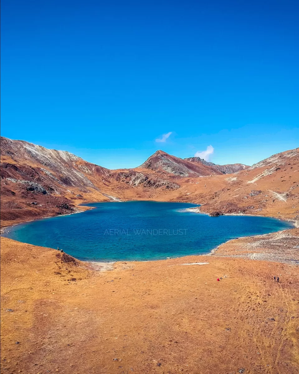
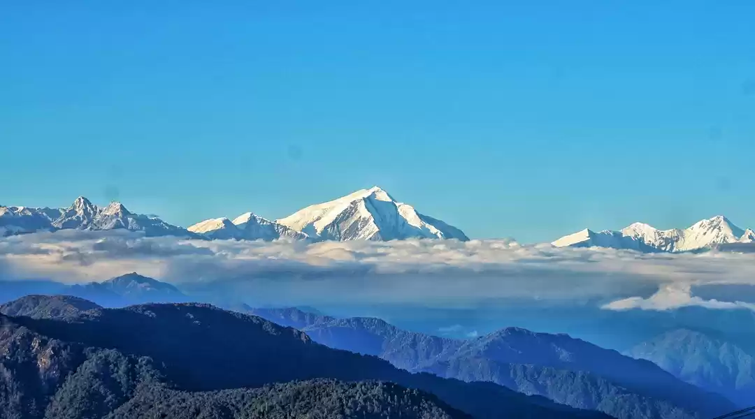
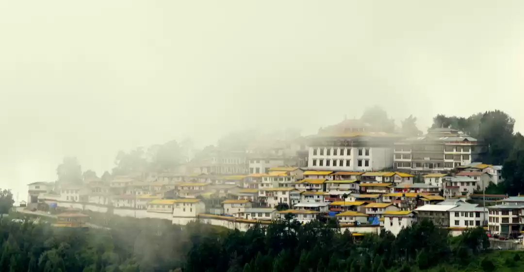
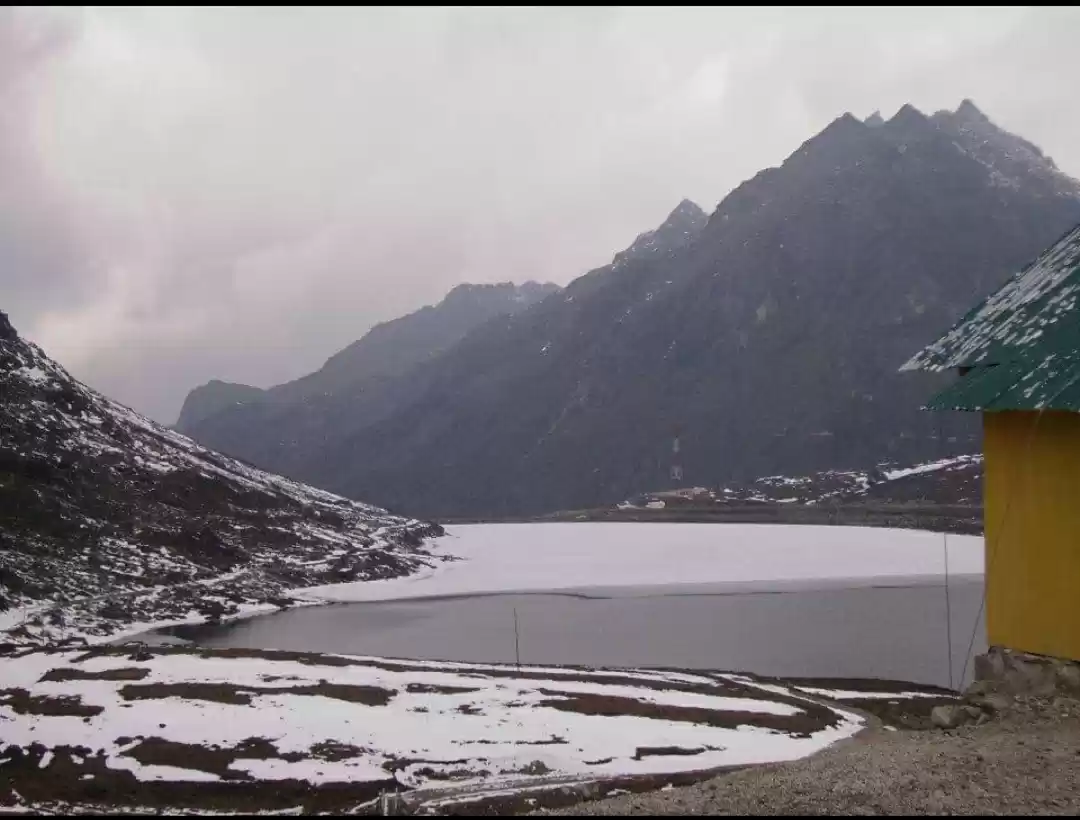
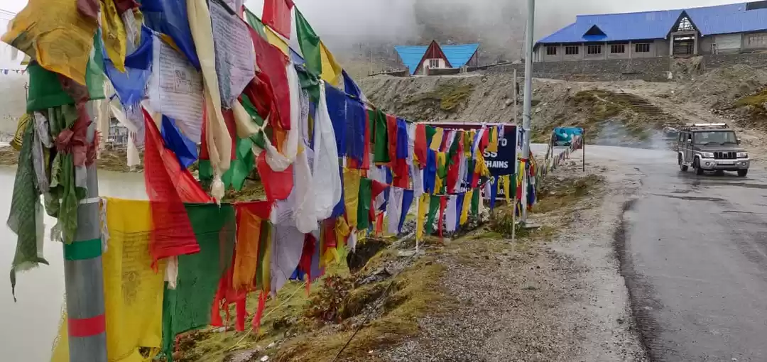
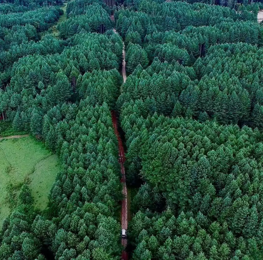
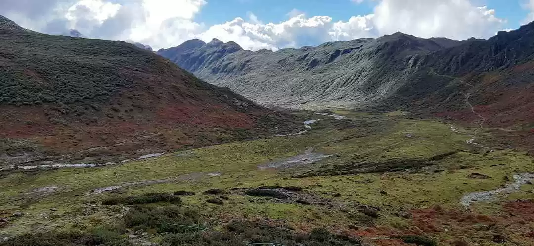
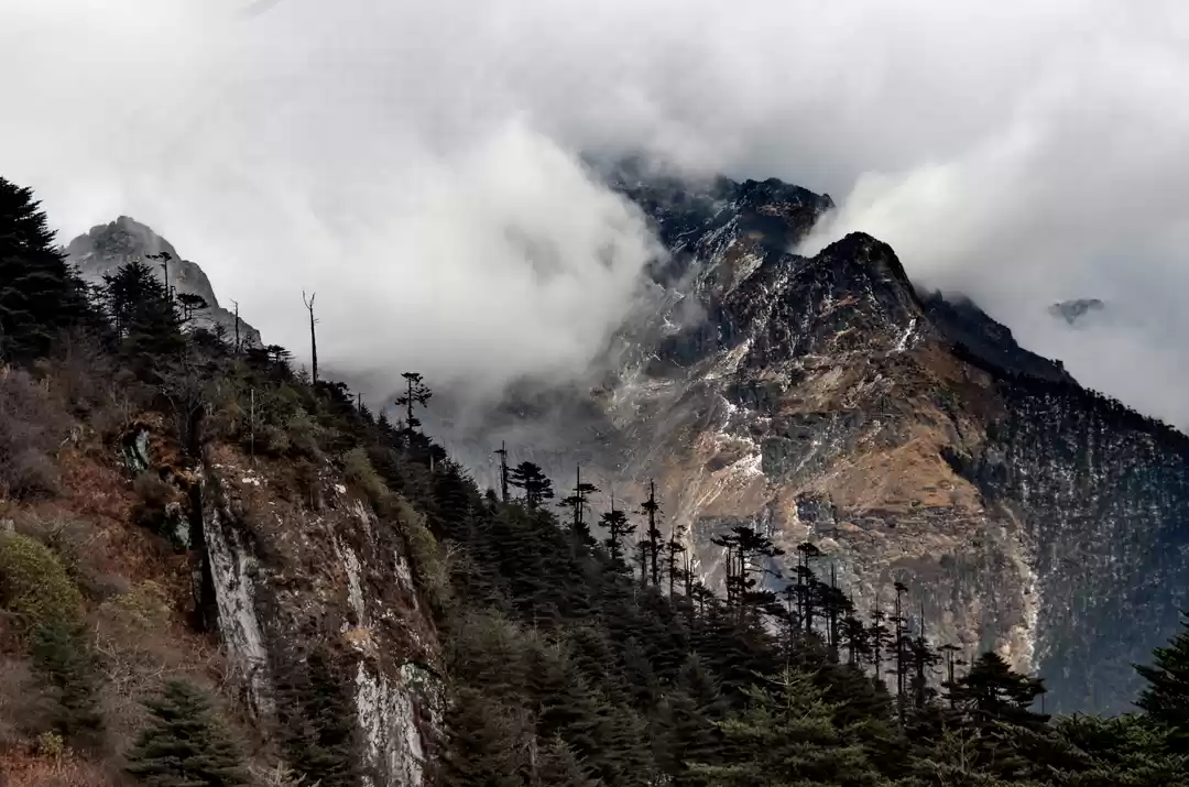
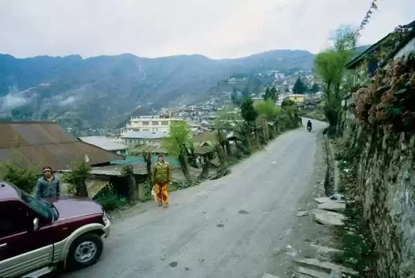
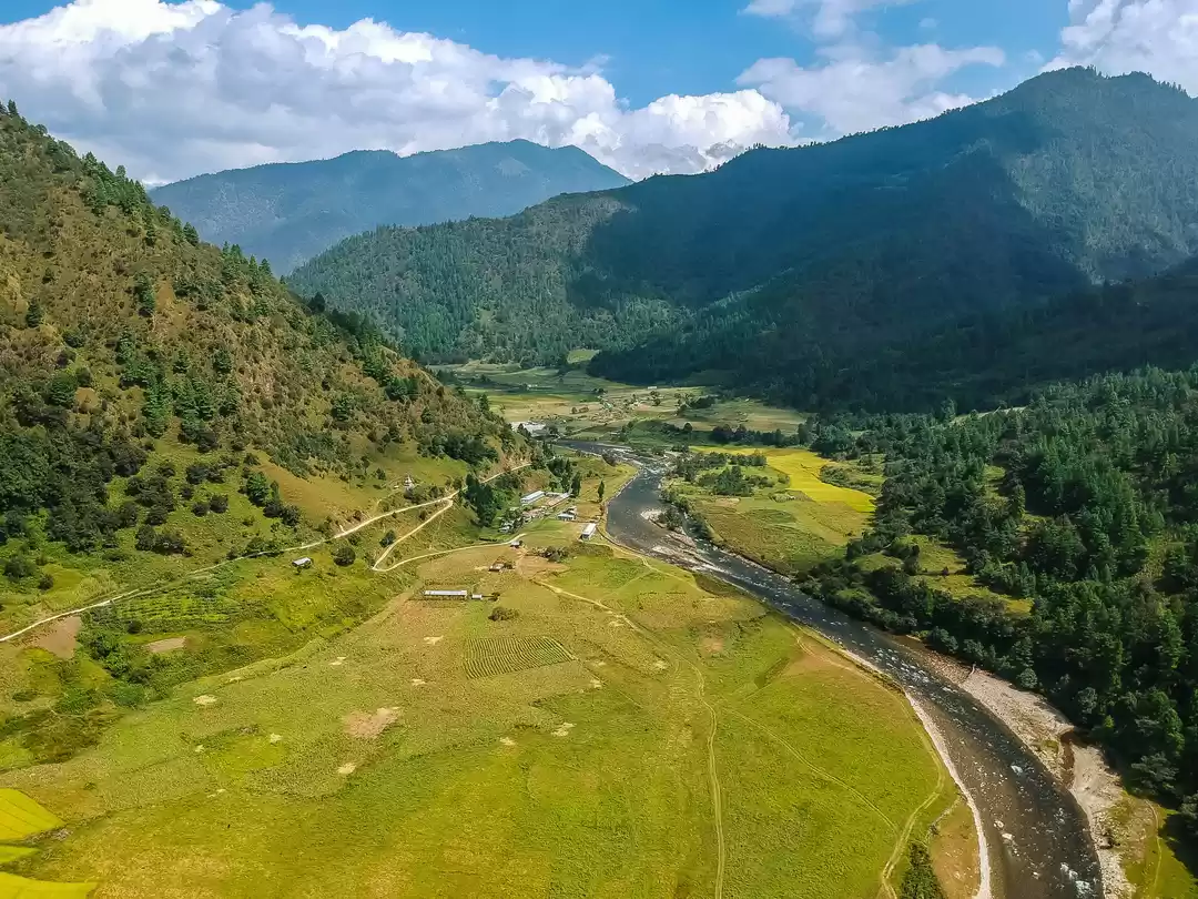
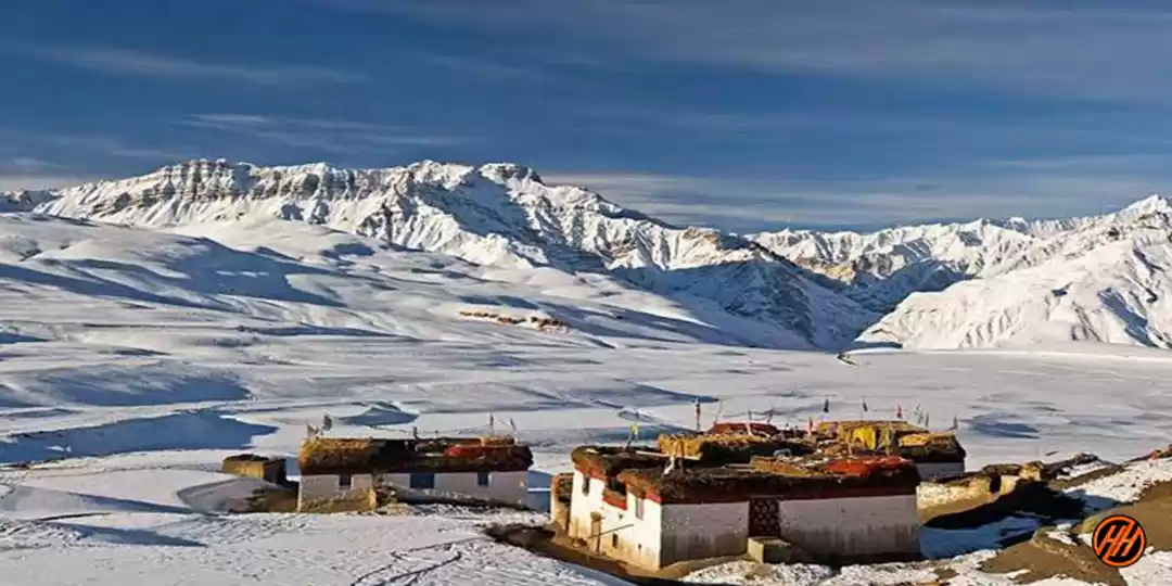
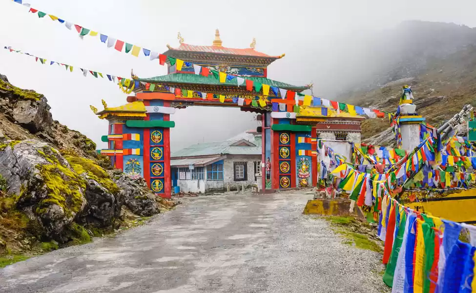
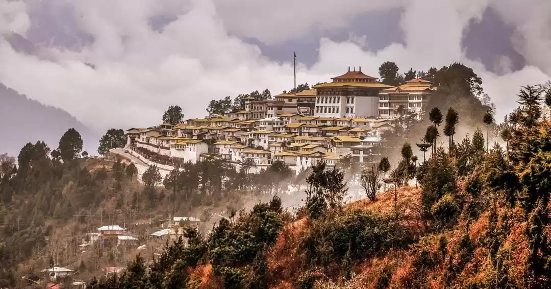
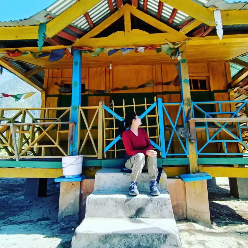
The ‘Bailey Trail’ crosses through some pristine remote forests of the Eastern Himalayas, where pine, oak and rhododendrons grow a plenty. Throughout the trek, you will be overwhelmed by the presence of breathtaking landscapes passing through quaint Monpa villages. At 4711 meters Tse la Pass is the highest point of this trek. You will be crossing high mountain passes, glacial rivers, crystal clear lakes, villages of the Monpa Tribe, and will stay at locations that will awe you.There are lovely Alpine lakes and breathtaking views of the Gori Chen and Kangdo peaks.
The Bailey Trail in the West part of Arunachal Pradesh, traces the historic route taken by Lt. Col. F. M. Bailey and Capt. H.T. Morshead, British officers who were commissioned to survey the Arunachal – Tibet border during 1911 -12. Starting in Eastern Arunachal, then known as NEFA [North Easter Frontier Agency], the two British officers travelled along the dangerous Tsangpo River all the way to Chayul and Tsona Dzong in Tibet. After completing the survey Lt. Col. Bailey and Capt Morshead returned into Indian territory at Tulung La in western Arunachal, descending to Mago village crossing over Tse La to reach Pota, and then from Poshing La down to Thembang. This route popularly came to be known as the “Bailey Trail”. The surveyed area was used by Sir Henry McMohan, one of the defense secretaries in the Government of India, to draw his famous McMohan line in 1914
We start the Bailey Trail commencing from the historic village of Thembang. Three days of steady climbing through thick forests brings us to Poshing La from where we get the most stupendous views of the Gorichen massif, as the peaks of Gorichen (6,538 m), Kangto (7,090 m), Nyegyi Kangsang (7,047 m) and Takpa Shiri (6,655 m) flood the landscape with their beauty. Crossing over Tse La we get to Mago village and onto Jang on the Bomdila- Tawang highway.
Follow my Instagram account @UnexploredNortheast to get more amazing information about our NorthEast India
