"Everyone thinks of changing the world, but noone thinks of changing himself." - Leo Tolstoy
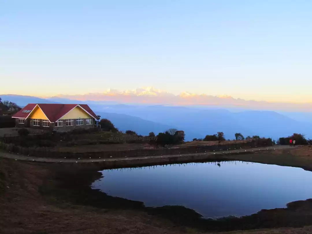
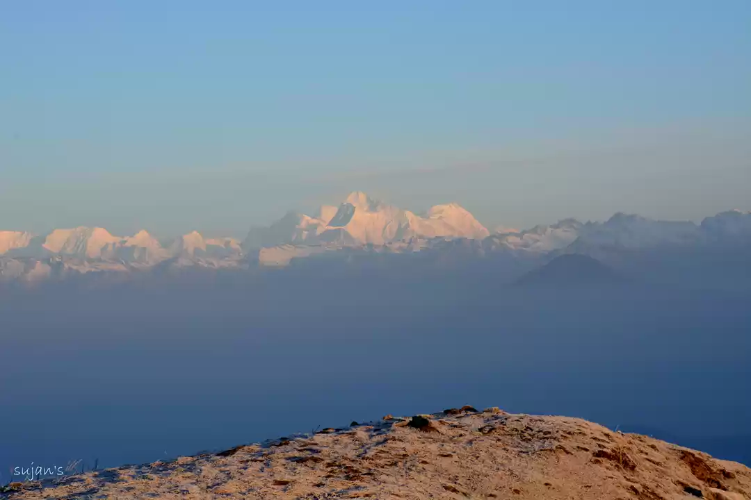
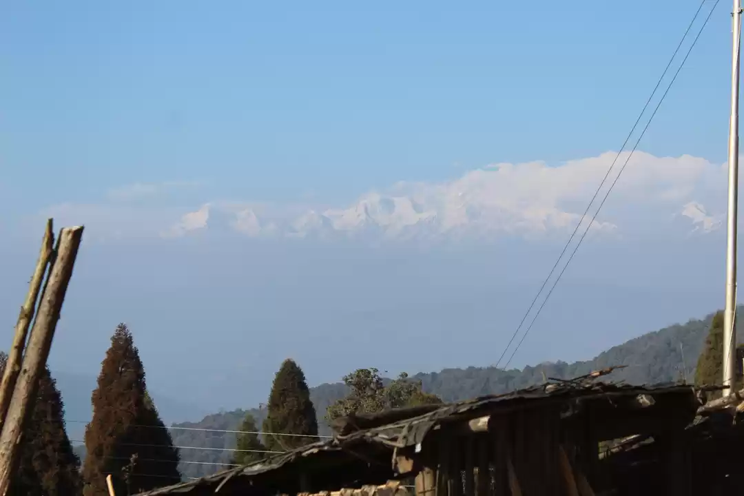
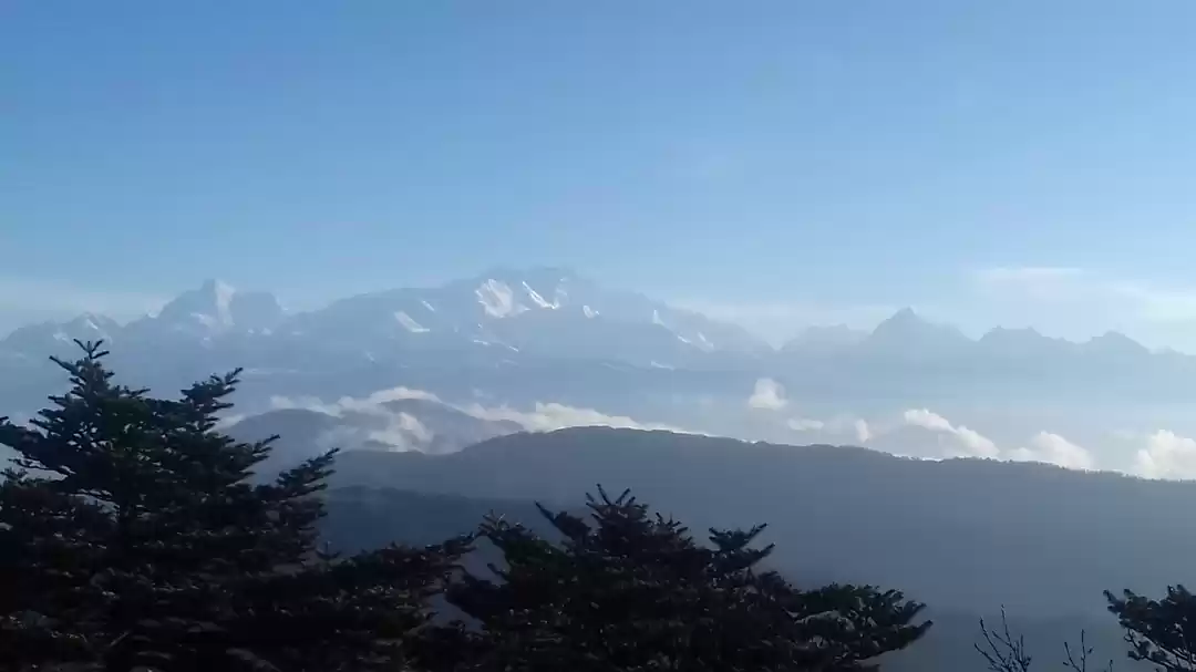
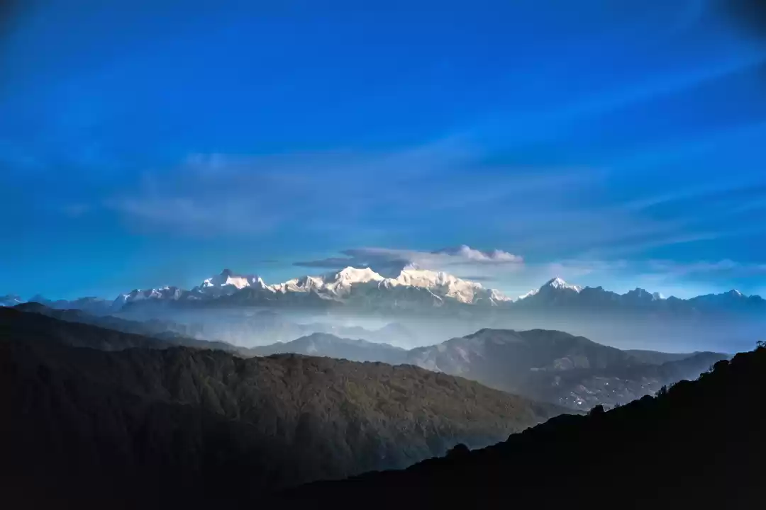
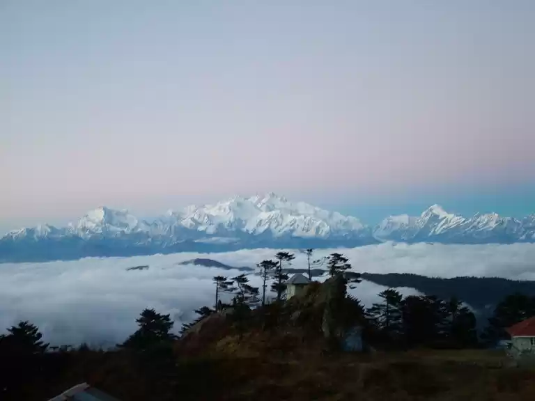
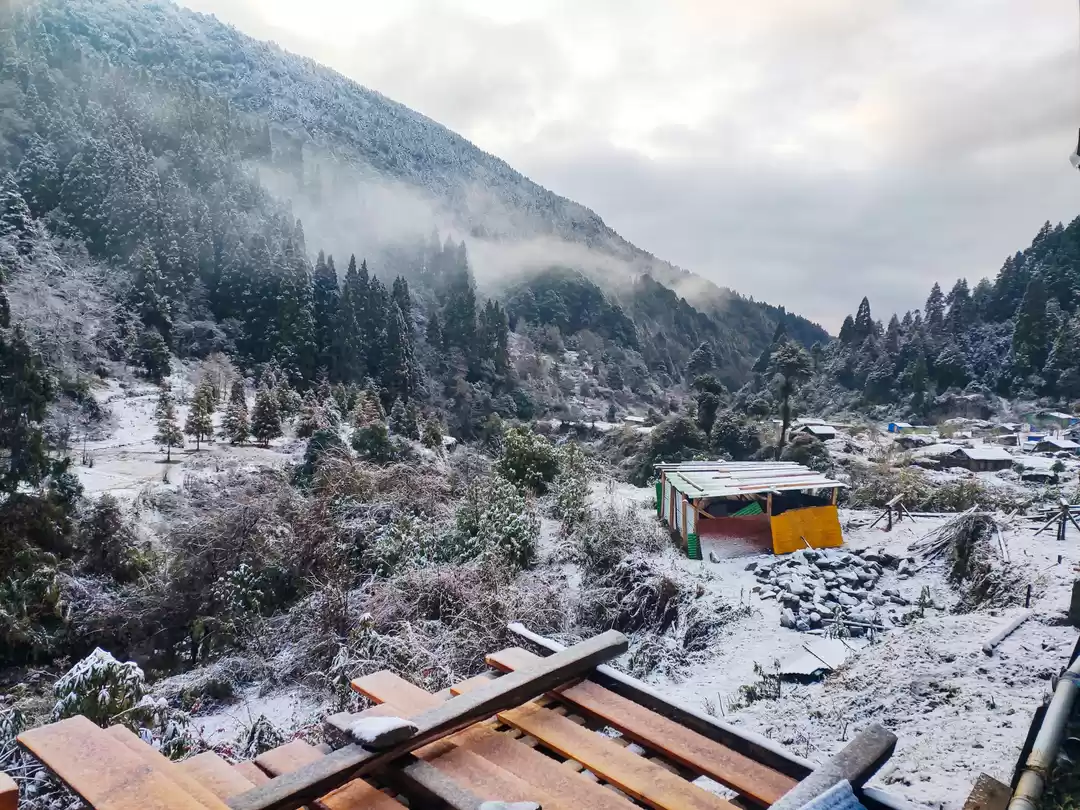
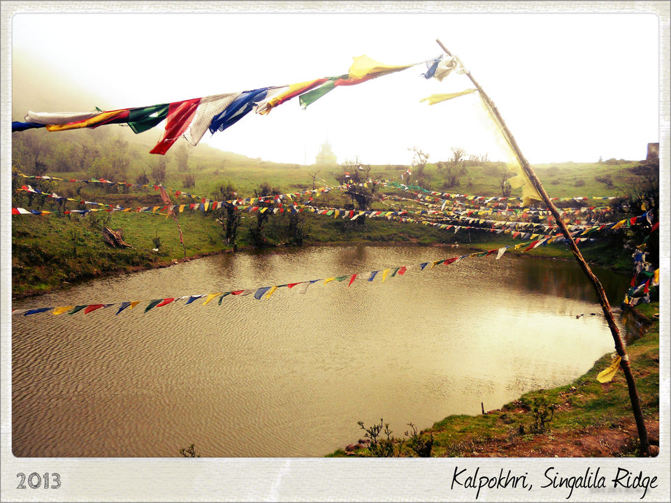
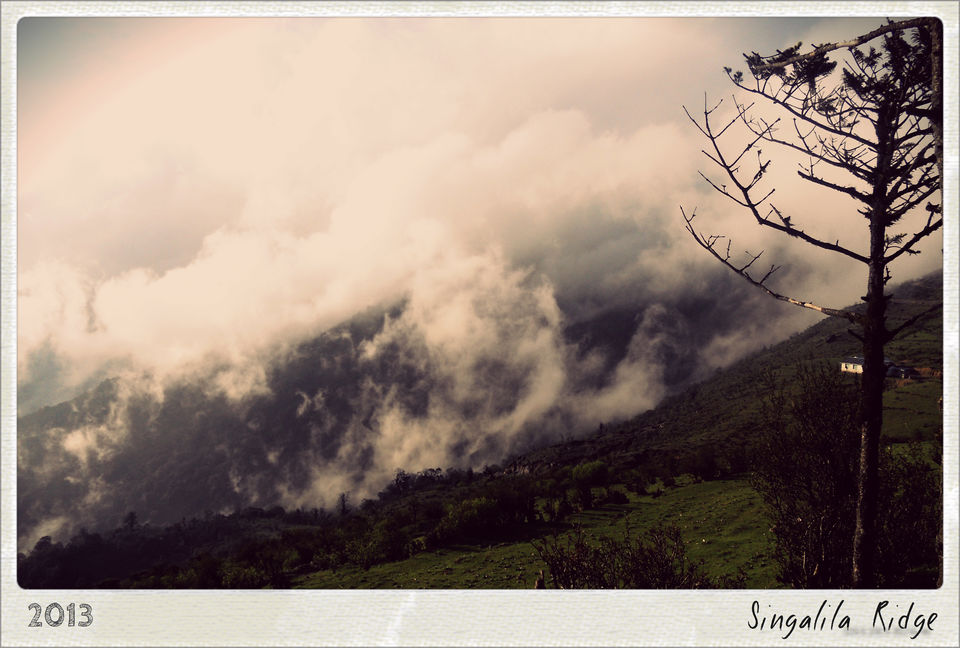
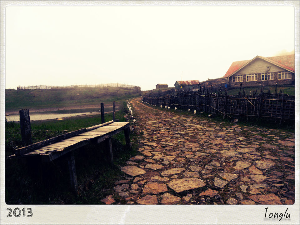
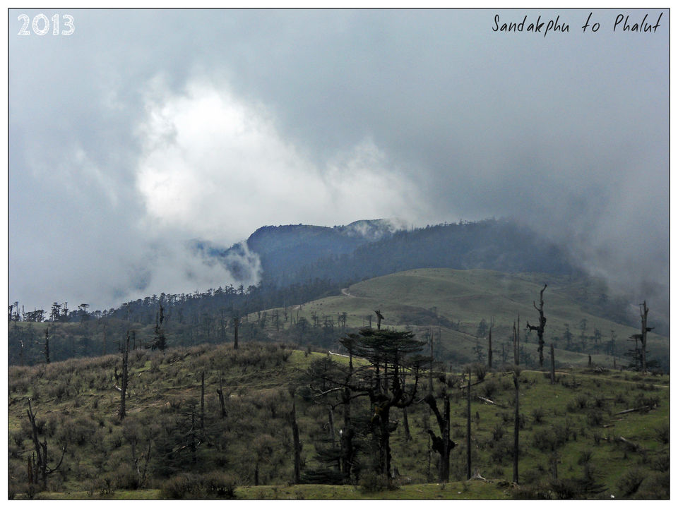
It was at such a juncture of my life, that I happened to visit the highlands of unexplored Singalila Range, North Bengal, India. The serene mountains, view of Kanchenjunga throughout the trek and tranquil chill in the wind create a perfect blend of time and mindspace for introspection.My trip started after spending two leiserely days with fellow backpackers at Hotel Aliment, Darjeeling. Although the weather won't permit me to see the famous view of Kanchenjunga in the mornings, the library and the coffee in the rooftop cafe kept me occupied throughout the day. Julendra, the owner of Hotel Aliment was an amicable man and perpetually ready to help fellow travelers with handmade maps and tips. I left for Maneybhaijang on the 3rd day. There are shared jeeps from Darjeeling Taxi stand, which take you to Maneybhaijang(6000 Ft) in about an hour. The trek starts from there. In the next 4 days, I had the herculean task of attaining a height of another 6000 Ft on foot.Day 1: Maneybhaijang to Chitre (8340 Ft)The walk from Manetbhaijang to Chitre is a mere 3 kms, however it lies at a height of 2340 ft above Maneybhaijang. The route up to Chitre passes quite steeply uphill on a good stoned path through a lush greenery of evergreen coniferous pine, fir, birch forests, bamboo glades and wonderful rock vegetation. It is a tiny buddhist settlement with a small monastery. The hill has a few houses where homestay is available. The people are very friendly and the Wai Wai soup is a bliss in the cold weather. I decided to stay for the night at one of the homestays.Day 2: Chitre to Tonglu (9800 Ft)The route felt like a trekker's paradise. The lush green pastures and grasslands among the forests of pine trees made it an exciting trail. The album Blackfield by Steven Wilson, playing on my mp3 made it quite an intense walk. I stopped at Meghma Tea house for breakfast and replenished my reserve of water. The place had lost it's charm after the owner's death. I continued my journey towards Tonglu. I reached Tonglu for lunch. The trekker's hut looked appealing and I decided to wander around the place and stay the night there. The fog cleared the next day and I got my first view of Kanchenjunga . The trekker’s hut, heartfelt hospitality, majestic Kanchenjunga at the backdrop and above all breathtaking view of sunrise had all made this place a memorable experience.Day 3: Tonglu to KalipokhriTonglu to Tumling is a beautiful road. A cloudless sky with the warmth of the sunshine made it a brilliant walk. I stopped at Tumling for breakfast. The limits of Singalila National Park started after Tumling. The road lead through the forest. It was a 6 Km downhill trail to Garibas, where I stopped for some snacks. From Garibas, there was a steep climb to Kalipokhri. Kalipokhri, as the name suggests, is a dark lake. I stayed the night at a homestay in Kalipokhri, a small hamlet. It is a holy place for those following Buddhism. It is believed that Nepalese villagers worship the black lake and it is forbidden to take a swim or a dip in this lake.Day 4: Kalipokhri to Sandakhpu(12,400 Ft)The steep climb continues for 2 & 1/2 Km and then follows a downhill trail of 1 & 1/2 Km to Bikheybhanyang(10,200 Ft). Bikheybhanjang means a place with poison plant. I tried to find out from a shack, if there's any truth to the name but he said, there isn't any. I replenished my water at the shack. You don't get mineral water, but the tap water is safe to drink. I had carried water purifying tablets from Darjeeling as a precautionary measure. From here, the trek to Sandakhpu is the most challenging in terms of steepness. The climb is through beautiful Rhododendron and Magnolia forest. As I reached Sandakphu by sunset, I saw a panaromic view of two of the world's highest mountains, Kanchenjunga and Mt. Everest. The sense of achievement on reaching Sandakphu, the highest peak of West Bengal was breathtaking.Day 5: Rest in SandakphuI spent the day reading 'The Zahir' by Paulo Coelho, lazying inside the comfort of my blanket and wandering around Sandakphu. The trekker's hut served me the best 'chai' of my life.Sandakhpu is located on the India-Nepal border. The hotels to the right side of the road were Indian, whereas the ones to the left were Nepalese. The Nepalese hotels looked far better than the Indian hotels. The workers at trekker's hut complained about ignorance from the government officials.Day 6: Sandakhpu to Phalut(11,811 Ft)Although the trek is easy from the perspective of steepness, the sheer length of the trek, 21 Km makes it a challenging task. While trekking, you may come across many pathways. Always avoid taking the one which leads to the left as you may get lost by entering Nepal and end up wasting some precious time. I came across a lot of horses and Yaks on the way. The final stretch of the trek is almost barren, that's why Phalut gets it's name, the denuded peak. It is the tri-junction of Nepal, Sikkim and West Bengal. There is a trekker's hut, where I stayed the night.Day 7: Phalut to SamendanThis trek is through a rugged terrain along the forest. The weather played foul and it was raining along the way, which made the trek a bit difficult. Sabargam stands on a small plateau in the middle of a dense forest, 12 Km from Phalut. I was treated very well at one of the homestays. The people were very curious about the world outside. The ruggedness of the terrain posed as an impediment to vehicular transport. This had pushed Sabargam to isolation. The warm hospitality of the place touched my heart. Day 8: Samendan to RimbickThe 2 Km trail from Sabargam to Rammam is through a thick forest, with a stream meandering through it. It's best to refrain from making too much noise since the stream is frequented by wild animals.You can have breakfast at Rammam. The first 9 Km after Rammam is through a level path through a forest of flowering trees. I stopped at Sri Khola by the river side to unwind and relax. From Sri Khola, the road runs uphill in a gentle gradient until Rimbick. The construction of road till Sri Khola had started at that time and the trek was a child's play after one week of following heavy duty trails. I missed the last bus to Darjeeling and had to stay at Rimbick for the night. I left the next morning for Darjeeling by the first bus.
Frequent Searches Leading To This Page:-
singalila range in west bengal, trekking places in west bengal, trekking routes in west bengal, west bengal trekking, best trekking places in west bengal

