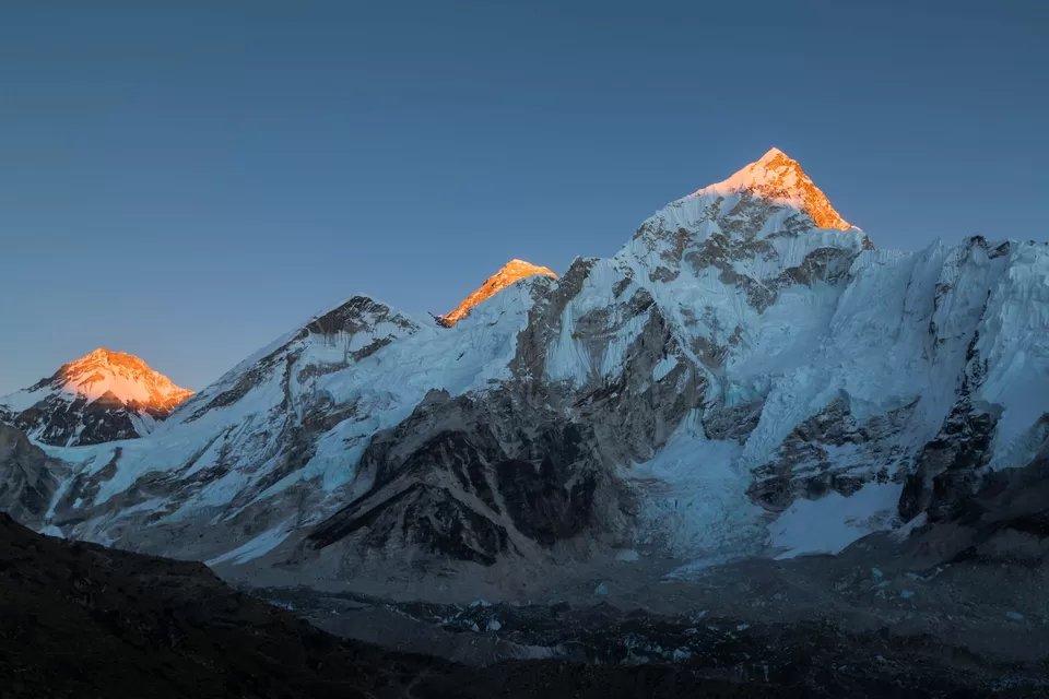
It’s official! The world’s tallest peak, Mount Everest is 86 cm (~ 2ft 10in) taller than its earlier measured height. Nepal and China, released an official statement setting the new measurement of the height of the mountain to 8,848.86 meters, or 29,031.69 ft.
All this time, the accepted height of the mountain was 8,848 meters, which was measured in a survey conducted by India in the early 1950s. What’s amazing is how, way back then, without the satellite imaging of today and the super sophisticated instrumentation available today, the height measured was so close to accurate.
This announcement is an outcome of years of work between Nepal and China, involving two summit expeditions and a host of ground level measurements to arrive at this number. Nepal’s chief survey officer, said that it was a matter of great pride for the team. He also said that this is the most accurate height of Everest, that has ever been. Geologists across the world have said that this number will become the standard accepted height of Everest.

Owing to shifting tectonic plates and random earthquakes, the height of Everest is constantly changing, ever so little. The shifting plates push it up, while the earthquakes can cause it to sink. For Nepal, this is the first time they have conducted their own measurements of the mountain, in spite of being home to it.
The methodology employed by the surveyors was twofold. One was the time-tested technique based on the principles of trigonometry, what is called a levelling survey. The other methodology deployed latest technology using satellite readings and a complex surface elevation model termed geoid.
This survey, had its own levels of difficulty. Surveyors had to transport a $200,000 gravimeter, to 297 spots in Nepal. This equipment measures the force of gravity at a given location. The readings critically help to form the model of where the sea lies beneath the mountain. This is in addition to the satellite imagery, to help estimate the height above sea level.

Chinese calculations of the measurement are based on similar new data, coupled with prior information from earlier surveys done in 1975 and 2005. Both China and Nepal had agreed to collaborate on this exercise after a visit by the Chinese President to Nepal in 2019. Both countries have hailed this announcement as proof of their relations. This may have a slight geopolitical relevance as well, given the current dynamics between the three nations.
Mount Everest, is located at the border between Nepal and China (Tibet). And the most preferred access route is from Nepal, which was shut during the pandemic. Only recently, has Nepal reopened its borders to climbers. Infact, summer is most preferred by those wanting to scale the summit. And henceforth, it shall be an additional ~3ft ascent!
To read more of my travel stories and for a peek into my travel albums, visit my Instagram page @thewanderjoy


